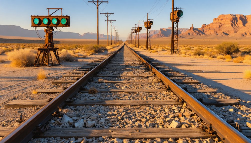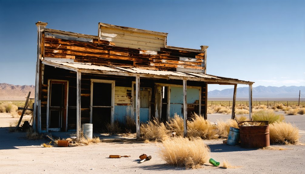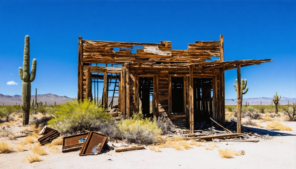
To plan your ghost town road trip to Cerbat, Arizona, head northwest from Kingman on US-93 to Mile Marker 62, then turn onto a dirt road leading into the canyon. You’ll need a high-clearance vehicle for the final stretch. Expect crumbling adobe walls, abandoned mine shafts, and the iconic Golden Gem Mine head frame. Pack water, sturdy boots, and a first aid kit before exploring. There’s far more to this forgotten canyon than first meets the eye.
Key Takeaways
- From Kingman, head northwest on US-93 to Mile Marker 62, then turn onto a dirt road leading into the canyon.
- A high-clearance vehicle is required for the final canyon approach, though most of the route suits standard 2WD vehicles.
- Pack sturdy boots, ample water, sunscreen, a first aid kit, and a trail map due to unreliable cell service.
- Watch for hidden mine shafts, unstable ground, rattlesnakes, and flash flood risks while exploring the canyon floor.
- Key highlights include the Golden Gem Mine head frame, stone foundations, adobe ruins, and a historic cemetery.
What’s Left to See at Cerbat Ghost Town?
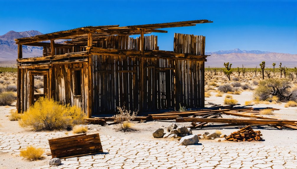
Although time has claimed much of Cerbat, you’ll still find enough remnants to paint a vivid picture of this once-thriving mining community. The Golden Gem Mine’s head frame stands tall as a striking centerpiece among scattered mining relics.
Time may have claimed much of Cerbat, but the Golden Gem Mine’s head frame still proudly stands watch.
While exploring, you’ll notice stone foundations, crumbling adobe walls, and mine tailings that mark where buildings once stood. A large mill and post office ruins add further depth to your exploration.
Don’t miss the cemetery exploration southwest of the main ruins — it hides among cactus and brush, with unmarked graves resting on a quiet ridge. Deserted mining buildings from the 1970s still occupy the canyon floor, and artifacts lie scattered throughout the site.
Every corner you turn reveals another layer of Cerbat’s raw, rugged history.
How to Get to Cerbat Ghost Town From Kingman
Getting to Cerbat Ghost Town from Kingman is straightforward once you know what to expect. Head northwest on US-93 and watch for Mile Marker 62, roughly 9 miles out. You’ll spot the turn leading down into the canyon.
From there, you’ll travel several miles along a washboard road that winds toward the valley floor. Your standard 2WD vehicle handles most of the route, but you’ll want a high-clearance vehicle for the final approach. Don’t underestimate that last stretch — it earns its reputation.
Once you arrive, the canyon opens up and rewards your effort. Historical artifacts, mining relics, and crumbling stone foundations spread across the terrain at an elevation of 3,872 feet.
Freedom-seekers and history lovers alike find the journey absolutely worth every bump.
What Vehicle Do You Need for the Drive?
You’ll handle most of the drive on a washboard dirt road that a standard 2WD vehicle can manage without trouble.
As you near the final approach into the canyon, though, the terrain gets rougher and demands a high-clearance vehicle to navigate safely.
Don’t underestimate that last stretch — arriving in the wrong vehicle could leave you stranded miles from the ruins.
Road Conditions and Requirements
The drive to Cerbat starts simple enough — US-93 northwest of Kingman to Milemarker 62 — but the final stretch into the canyon is where things get interesting. You’ll navigate several miles of washboard road that rattles your fillings and tests your patience.
Standard 2WD handles most of the route, but you’ll need a high-clearance vehicle once you hit the final approach.
Don’t underestimate this stretch. The rugged terrain isn’t just a driving challenge — it’s a natural buffer that supports local wildlife and contributes to historical preservation by limiting casual traffic.
Fewer visitors means less disturbance to the canyon’s fragile remnants. Check your tire pressure, pack extra water, and go slow.
The road demands respect, but the reward waiting at the bottom is absolutely worth it.
Final Approach Vehicle Needs
Most of the drive out to Cerbat won’t stress your vehicle — standard 2WD handles US-93 and the early washboard sections without complaint. The final approach is different. That last stretch demands high clearance, and pushing through with a low-riding vehicle risks real damage to both your car and the surrounding terrain.
Protecting the cultural significance of this site means arriving responsibly. Rutted canyon roads exist partly because visitors ignored sensible precautions. A truck or high-clearance SUV gives you the freedom to explore without tearing up fragile ground near historically preserved structures.
Pack a spare tire, carry water, and tell someone your plans. The site sits at 3,872 feet in open desert — conditions shift fast. Respect the land, and Cerbat rewards your effort completely.
The Golden Gem Mine Head Frame and Other Ruins Worth Finding
Among Cerbat’s scattered ruins, the Golden Gem Mine head frame stands as the most striking landmark you’ll spot on the canyon floor. This towering mining relic marks where the Golden Gem once produced $400,000 in minerals between 1871 and 1907, making it the site’s most productive operation.
The Golden Gem Mine head frame towers over Cerbat’s canyon floor, marking the site’s most productive historic operation.
Beyond the head frame, you’ll discover stone foundations, crumbling adobe walls, and 1970s-era deserted mining buildings tucked among desert flora. A large mill ruin and post office remnants reward explorers willing to poke around carefully.
Mine tailings from the Esmeralda, Vanderbilt, and Gold Gem operations dot the landscape throughout the canyon.
Don’t overlook the cemetery southwest of the main ruins, hiding amid cactus and brush on a nearby ridge, where unmarked graves tell silent stories of Cerbat’s earliest residents.
Cerbat Ghost Town’s Mining History: Boom, Bust, and Abandonment
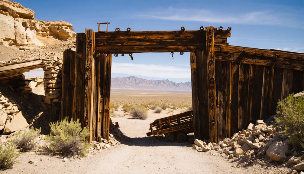
Silver and lead discoveries in the Cerbat Mountains during the 1860s set this remote Arizona canyon on a path from wilderness to thriving mining community almost overnight. Prospectors flooded in, and by the early 1870s, Cerbat’s town architecture had evolved beyond rough camps into a legitimate settlement featuring stores, saloons, a school, and professional services.
The Golden Gem Mine alone produced $400,000 in minerals through 1907, demonstrating how advanced mining technology transformed raw desert terrain into serious economic output. Three major operations — Esmeralda, Vanderbilt, and Gold Gem — kept residents employed for decades.
When the post office closed in 1912, Cerbat’s fate was sealed. You’re now free to explore what those determined miners left behind, a canyon quietly preserving their ambitions.
The Safety Risks You Need to Know Before Exploring the Canyon Floor
Before you set foot on the canyon floor, you need to understand that deep mine shafts hide throughout the area, often concealed by brush and loose debris. Watch every step you take, since unstable ground surrounds the old foundations, adobe walls, and mine tailings scattered across the site.
One wrong move near an unmarked shaft could turn an exciting ghost town visit into a dangerous emergency.
Hidden Mine Shaft Dangers
Exploring Cerbat’s canyon floor looks thrilling on the surface—but hidden directly beneath your feet lie deep mine shafts that can swallow you whole without warning. Decades of desert erosion, overgrown brush, and scattered debris have completely disguised these openings, making every step a calculated risk.
You’ll also need solid weather preparedness before descending into the canyon—flash floods transform dry washes into deadly channels within minutes.
Wildlife encounters add another layer of danger, as rattlesnakes frequently shelter inside dark shaft openings and among mining relics.
Never explore alone, always carry a flashlight to spot shaft edges before approaching, and stay on visible pathways whenever possible.
The freedom of discovery here demands personal responsibility—one careless moment near an unmarked shaft could end your adventure permanently.
Unstable Ground Awareness
Beyond the obvious threat of hidden shafts, the canyon floor itself poses serious structural hazards that’ll catch unprepared visitors off guard. Decades of mining have weakened natural formations beneath your feet, creating hollow pockets that surface soil disguises convincingly. What looks like solid ground can collapse without warning.
Local legends among seasoned ghost town explorers warn about specific sections near the old mill ruins where underground tunnels run closest to the surface. These stories carry real weight — trust them.
Watch for subtle warning signs: slight ground depressions, cracked earth patterns, or vegetation growing unusually sparse in clusters. Old adobe walls lean unpredictably, and stone foundations shift seasonally.
Stay on established pathways where possible, move deliberately, and never explore the canyon floor alone.
What to Bring for Exploring Cerbat Ghost Town Safely
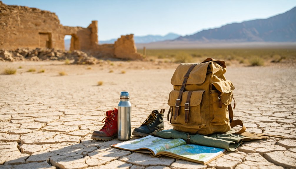
Since Cerbat’s canyon floor hides deep mine shafts and unstable ground beneath scattered artifacts, you’ll want to pack smart before making the trek. Sturdy boots with ankle support are non-negotiable on this rugged terrain. Bring plenty of water, sunscreen, and a first aid kit for the high desert elevation of 3,872 feet.
For photography tips, a wide-angle lens captures the Golden Gem Mine head frame dramatically against canyon walls, while a macro lens reveals wildflower identification opportunities among the cactus and brush near the cemetery. Pack a detailed trail map since cell service is unreliable this far off US-93.
A high-clearance vehicle handles the final approach, but trekking poles help you navigate mine tailings and crumbling stone foundations safely on foot.
Frequently Asked Questions
When Did Cerbat Briefly Operate Under a Different Name?
You’ll find that Cerbat briefly carried the ghost town identity of “Campbell” between June 25, 1890, and October 24, 1902—a fascinating historical name change that adds mystery to this freedom-seeker’s desert exploration destination.
How Long Did Cerbat Serve as Mohave County Seat?
You’ll discover that Cerbat served as Mohave County seat for just two years, from 1871 to 1873! This historical landmark carries local legends of a thriving town before Mineral Park claimed that prestigious title.
What Was the Peak Population Cerbat Ever Reached?
You’ll find Cerbat’s peak population reached around 100 hardy residents by the early 1870s. Today, ghost town tourism lets you walk where they lived, making historical preservation of this rugged desert community truly meaningful.
Which Three Mines Were the Primary Operations in Cerbat?
You’ll find that Cerbat’s mining history centered on three primary operations: the Esmeralda, Vanderbilt, and Gold Gem mines. These powerhouse operations shaped the town’s legacy, and their remnants contribute to remarkable ghost town preservation you can explore today.
What Year Was Cerbat’s Post Office Officially Established?
You’ll find that Cerbat’s post office was officially established on December 23, 1872, where historic architecture once buzzed with local legends, connecting this rugged, free-spirited mining community to the outside world for 40 remarkable years.
References
- https://en.wikipedia.org/wiki/Cerbat
- http://www.apcrp.org/CERBAT/Cerbat_Cem_mast_text.htm
- https://pinintheatlas.com/travel-blogs/cerbat-ghost-town-arizona/
- https://www.arizonan.com/ghost-towns/cerbat/
- https://en.wikipedia.org/wiki/List_of_ghost_towns_in_Arizona
- https://www.destination4x4.com/cerbat-arizona-mohave-county-ghost-town/