Chantilly, Kansas vanished from Kearny County’s maps long ago, but you can still chase its ghost across southwestern Kansas‘ open terrain. It started as Myton in 1886, earned a post office as Chantilly in 1887, then collapsed after losing the county-seat contest. No signs or structures mark the spot today, so you’ll need historical maps, county atlases, and sharp eyes for subtle landscape clues. Stick around to uncover everything you need for an authentic ghost town road trip.
Key Takeaways
- Chantilly, Kansas, in Kearny County, was a short-lived settlement that lost the county-seat contest, causing rapid decline and abandonment by 1895.
- No standing structures or marked historic sites remain; expect subtle landscape clues like soil patterns and depressions indicating former settlement.
- Research county atlases, postal records, and historical maps before driving, since GPS alone cannot locate extinct towns like Chantilly.
- Verify precise coordinates through historical resources, as the flat southwestern Kansas terrain requires careful map reading for accurate site identification.
- Treat the trip as a research-driven backroads adventure, uncovering the broader story of frontier ambition, settlement competition, and regional decline.
What Was Chantilly, Kansas?
Once a hopeful county-seat contender on the southwestern Kansas plains, Chantilly was a short-lived settlement in Kearny County that rose and fell within a single decade.
It started in December 1886 under the name Myton, then rebranded when its post office opened on May 27, 1887. That postal designation gave the community its clearest historical identity.
Historical anecdotes surrounding Chantilly center on one defining failure: losing the county-seat contest. That loss stripped the town of its purpose, and by 1895, even the post office had closed.
Preservation challenges make Chantilly a difficult stop to pin down today, since no marked site or standing structure has been confirmed. What remains is the story itself, and for backroads explorers, that’s often enough.
Where in Kearny County Did Chantilly Stand?
Chantilly stood somewhere within Kearny County in southwestern Kansas, though its exact site requires confirmation through a county map or historical atlas before you hit the road.
The region’s wide, flat backroads make navigation straightforward, but extinct towns often leave only faint landscape traces, so you’ll want precise coordinates rather than a rough guess.
Pairing your research with a broader southwestern Kansas backroads route lets you approach Chantilly as one stop on a circuit rather than a hard-to-justify standalone destination.
Kearny County Location Details
Tucked into the landscape of Kearny County in southwestern Kansas, this extinct town once sat in a region defined by fierce settlement competition and railroad-era ambition. You won’t find tourist infrastructure marking the spot, and historical preservation efforts haven’t left a visible landmark to guide you in.
That means you’ll want to consult a county atlas or historical map before you head out. Kearny County stretches across flat, open terrain where distance between stops is real, and precision matters when you’re tracking down a vanished community.
Chantilly’s exact position demands field verification, so treat your visit as a research-driven backroads adventure. The freedom of that kind of travel is the point, and this corner of southwestern Kansas rewards curious, self-directed explorers.
Mapping The Exact Site
Pinning down Chantilly’s exact location takes more than a general sense of Kearny County’s boundaries. You’ll need historic maps and postal records to narrow the search to a specific section of land. County atlases from the late 1880s occasionally mark extinct towns that modern maps ignore entirely, making them your most reliable starting tools.
Postal records confirm Chantilly operated under that name beginning May 27, 1887, which helps you cross-reference the site against period survey documents. Before you hit the road, check with the Kansas Historical Society or a county library for digitized resources.
Once you’re in the field, expect subtle landscape clues rather than obvious markers. Freedom-minded explorers who do the research first spend less time guessing and more time discovering.
Southwestern Kansas Backroads Access
Kearny County sits in the far southwestern corner of Kansas, where the high plains stretch flat and wide under an open sky. You’ll travel roads that cut through dry grassland with few signs and fewer crowds.
Chantilly stood somewhere within this open expanse, though no marked site guides you directly to it. Before you go, pull a county atlas or consult a Kansas ghost-town map to pinpoint its former location.
Local legends sometimes survive in small-town libraries and county historical societies, so stop in Lakin, the county seat, and ask around. Vanished landmarks like Chantilly rarely announce themselves from the roadside.
You’re charting your course by history as much as by pavement, which makes the search part of the reward.
What Physical Traces Remain at This Kansas Ghost Town?
When you arrive at the general area where Chantilly once stood, don’t expect signage, preserved structures, or a marked historic site — none exist. The landscape itself becomes your only guide, and you’ll likely see little more than open Kansas terrain shaped by over a century of agricultural use.
Before you make the trip, confirm the town’s precise location through a county map or historical atlas, since extinct towns like Chantilly often survive only as coordinates and local memory.
Current Landscape Traces
Because Chantilly never grew beyond a short-lived county-seat contender, it left little behind for today’s backroads explorer to find. You won’t discover preserved buildings or marked heritage sites here. Instead, you’ll encounter open Kansas grassland where landscape traces — subtle depressions, faint lot lines, or altered soil patterns — hint at what once stood.
The cultural significance of this place lives in its story, not its structures. Local legends and county historical records carry more weight than any standing wall. Before you drive out, confirm Chantilly’s precise location using a Kearny County atlas or historical map, since GPS won’t guide you to an extinct town.
Treat this stop as a research waypoint — a place where history whispers through the prairie rather than shouts from surviving ruins.
No Marked Historic Sites
Unlike many historic Kansas towns that left behind at least a crumbling foundation or a weathered cemetery marker, Chantilly offers no marked historic sites — no plaques, no preserved structures, no designated heritage stops. Its cultural significance lives almost entirely in county records and postal history, not in anything you can photograph roadside.
Preservation challenges explain part of this absence. Towns that lost county-seat bids rarely attracted the funding or local advocacy needed to memorialize their existence. When Chantilly’s post office closed in 1895, community identity dissolved quickly, leaving no organized effort to mark what had been.
You’ll need a county atlas and realistic expectations before you visit. The reward here isn’t a landmark — it’s the quiet satisfaction of standing where a forgotten Kansas story once unfolded.
Why Chantilly Lost the County Seat and Disappeared
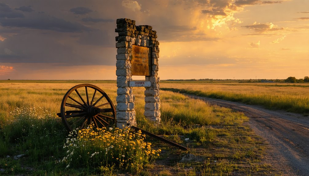
Chantilly’s fate hinged on a single high-stakes competition: the county seat contest. When Chantilly lost, it lost everything. Without county seat status, regional power and economic activity shifted elsewhere, triggering rapid economic decline.
Businesses had no reason to stay, residents followed opportunity out of town, and the community unraveled quickly.
You can trace Chantilly’s final chapter through its postal history. The post office opened May 27, 1887, signaling a brief moment of real ambition. It closed in 1895, and that closure effectively marked the town’s death.
Post offices on the Great Plains weren’t just mail stops — they were lifelines of legitimacy. Lose the post office, and a town vanishes from the map in every meaningful way. Chantilly did exactly that.
Which Southwest Kansas Ghost Towns Should You Visit Nearby?
Southwest Kansas rewards backroads travelers who treat ghost towns as a regional story rather than isolated stops. Pair your Chantilly visit with other extinct Kearny County communities to build a route around settlement competition and postal history.
Nearby towns that rose and fell during the same railroad era share Chantilly’s historical significance, giving you a fuller picture of how the Great Plains boom-and-bust cycle actually worked.
Check local county atlases and Kansas historical society resources before you go, since preservation efforts vary widely across the region. Some sites hold marked cemeteries or foundation traces, while others survive only in records.
You’ll appreciate each stop more when you understand it as one chapter in a larger, honestly complicated story of frontier ambition and abandonment.
How to Plan a Kansas Ghost Town Road Trip Through the Southwest
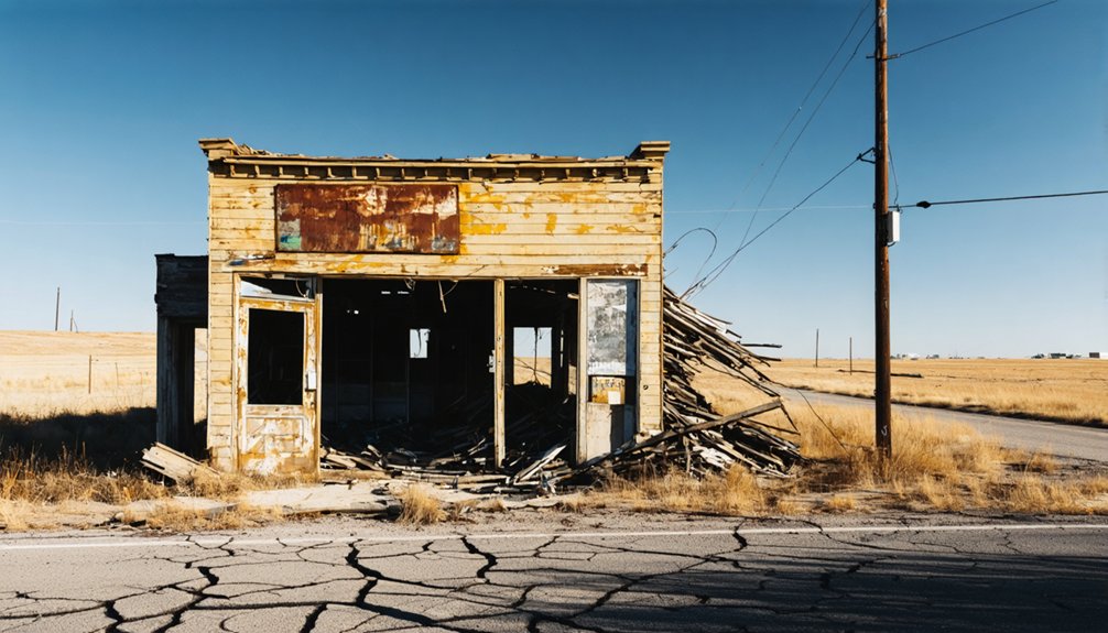
Planning a southwest Kansas ghost town road trip works best when you treat the journey as a research project before it becomes a driving route. Pull county atlases, study postal records, and map clusters of extinct towns before you leave home.
Treat your ghost town road trip like a research project first — atlases and postal records before departure, driving routes second.
Kearny County holds strong cultural heritage tied to settlement competition and railroad-era expansion, so anchoring your route there gives the trip a clear historical theme.
Build your itinerary around documented stops rather than vague rumors. Local legends can add color at each site, but verified timelines keep your route honest.
Space your stops to allow for landscape reading, since many extinct towns leave only terrain traces. Keep expectations realistic, carry physical maps, and treat every unmarked field as a potential piece of a larger, forgotten story.
Frequently Asked Questions
What Was the Population of Chantilly During Its Peak Years?
You won’t find exact historical population trends for Chantilly, as records don’t capture peak numbers. For ghost town tourism enthusiasts like you, its significance lies in its fierce county-seat rivalry, not its size.
Who Originally Founded Myton Before It Became Chantilly?
Like dust swallowed by the plains, Myton’s founder remains unknown. The records don’t reveal who built this ghost town architecture or sparked abandoned town legends — you’ll only find Myton transformed into Chantilly by December 1886.
Did Chantilly Have a School or Church During Its Existence?
The records don’t confirm a school or church in Chantilly. As you explore, you won’t find abandoned buildings or local legends tied to either—just the haunting silence of a forgotten county-seat dreamer swallowed by Kansas prairie.
What County Seat Ultimately Won the Rivalry Against Chantilly?
The records don’t reveal which rival claimed victory — that mystery awaits you on the trail. As you chase ghost town tourism and historic landmarks, Chantilly’s lost county-seat rivalry remains one of Kansas’s most intriguing unsolved backroads secrets.
Are Any Historical Records or Documents About Chantilly Digitally Available?
You’ll find Chantilly’s story scattered across digital archives, where historical maps and postal records bring this lost Kansas town back to life, letting you trace its brief 1886–1895 existence from wherever your wandering spirit roams.
References
- https://www.youtube.com/watch?v=LNAm0sZuNyw
- https://www.youtube.com/watch?v=tBela51DCIw
- https://www.youtube.com/watch?v=NaR0lWdXLss
- https://www.reddit.com/r/kansas/comments/1oedkex/any_abandoned_places_to_explore_ghost_towns/
- https://legendsofkansas.com/kearny-county-extinct-towns/
- https://www.youtube.com/watch?v=YQHVP21sYC8&vl=en-US
- https://en.wikipedia.org/wiki/List_of_ghost_towns_in_Kansas
- https://www.youtube.com/watch?v=KBXINX0xqnU