Planning a ghost town road trip to Hockerville, Oklahoma means stepping into a landscape where crumbling foundations, toxic chat piles, and reclaimed ruins tell a haunting industrial story. You’ll find no standing buildings or roadside signs — just silence, overgrown rubble, and unstable ground shaped by decades of lead and zinc mining. It’s remote, it’s raw, and it demands respect. Everything you need to explore it safely and meaningfully is just ahead.
Key Takeaways
- Hockerville sits in northern Ottawa County, Oklahoma, near Picher and Baxter Springs, Kansas, making it ideal for a regional ghost town loop.
- Roads are two-wheel-drive accessible, but conditions vary seasonally; summer hardens ground while winter creates unpredictable, brittle terrain.
- The site lies within the Tar Creek Superfund Site; avoid contact with soil, water, and toxic chat piles scattered across the landscape.
- Underground caverns from mining activity create unstable ground; stay alert and avoid areas showing signs of potential collapse.
- Pack water, sturdy boots, a first-aid kit, layered clothing, and offline navigation tools, as cell service is extremely limited.
What’s Left to See in Hockerville Today?
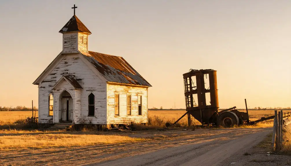
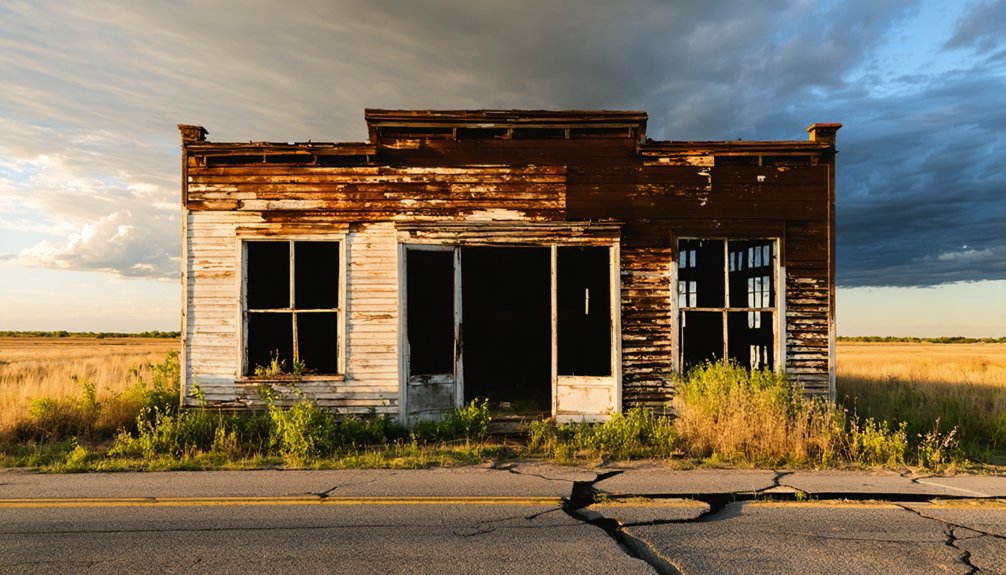
When you arrive at Hockerville, don’t expect standing buildings or preserved storefronts — the town has almost completely vanished above ground. What you’ll find instead are concrete shells, crumbling foundations, and brush-covered ruins slowly reclaimed by nature.
These abandoned structures hint at a community that once held over 500 residents and bustled with mining activity.
The environmental remnants tell an equally striking story. The land sits within the Tar Creek Superfund Site, and the contamination left behind by decades of lead and zinc extraction is part of what makes this place so historically significant.
You’re fundamentally walking through a cautionary tale. Bring your curiosity, set realistic expectations, and let the silence and scattered ruins do the talking.
There’s history here — it just requires some imagination to see it.
How to Get to Hockerville, Oklahoma
You’ll find Hockerville tucked into northern Ottawa County, Oklahoma, just west of the Kansas border. Sitting between the ghost town of Picher to the west and Baxter Springs, Kansas, to the northeast.
The easiest way to orient yourself is to use Picher as your anchor point, since it’s the better-known abandoned mining town in the immediate area.
Expect two-wheel-drive roads rather than highways, so a standard vehicle will get you there. But you’ll want to check conditions before heading out, especially in summer heat or winter cold.
Hockerville’s General Location
Tucked into the far northeastern corner of Oklahoma, Hockerville sits in northern Ottawa County near the Kansas border, wedged between the better-known ghost town of Picher to the west and Baxter Springs, Kansas, to the northeast. This remote pocket of the Tri-State mining district carries both historic landmarks and local legends tied to the lead and zinc boom that once defined the region.
You’ll find the area accessible by two-wheel-drive roads, though you should expect a rugged, weathered landscape rather than a polished destination. Summers run hot, winters cut cold, and the terrain reflects decades of industrial use and abandonment.
The location itself tells a story — positioned along a corridor where multiple mining communities rose, collapsed, and faded into the Oklahoma earth.
Nearest Major Landmarks
Knowing where Hockerville sits on the map is one thing — knowing how to actually get there’s another. You’ll find the site tucked in northern Ottawa County, near the Kansas-Oklahoma border. Use these landmarks to orient yourself:
- Picher, Oklahoma lies just to the west — a similarly abandoned mining town where environmental impact reshaped an entire community.
- Baxter Springs, Kansas sits to the northeast, offering fuel and supplies before you head into more remote terrain.
- Tar Creek Superfund Site surrounds the area, making the drive itself a lesson in industrial consequence.
You won’t find roadside signs pointing to historical artifacts or preserved structures. You’re finding your way toward a place that time and contamination quietly erased — and that freedom to explore makes it worth finding.
Road Conditions To Expect
Getting to Hockerville doesn’t require four-wheel drive, but don’t mistake that for easy. The roads leading out here are two-wheel-drive accessible, yet they’re rough, rural, and unforgiving in extreme weather. Summer heat bakes the ground hard, while winter turns everything brittle and unpredictable.
You’re steering the edge of Ottawa County, threading between Picher to the west and Baxter Springs, Kansas, to the northeast. Cell service gets thin fast, so download your maps before you leave.
The isolation feeds the urban legends and folklore stories that surround this district — people talk about strange ground shifts, eerie silence, and land that still feels unstable underfoot. That instability isn’t myth. Mining carved massive caverns below you. Watch where you step, and respect what’s left.
From Mining Boom to Ghost Town: Hockerville’s Collapse
When you dig into Hockerville’s past, you’ll find a classic boom-town story rooted in lead and zinc discoveries made in 1916.
By 1918, at least 18 mines operated in the area, drawing more than 1,500 residents at the town’s peak.
Then, around 1950, a major cave-in swallowed Main Street and effectively ended Hockerville’s existence as a functioning community.
Mining Boom Years
Lead and zinc discoveries in 1916 transformed Hockerville from an unremarkable patch of northeastern Oklahoma into a roaring mining boom town almost overnight.
By 1918, at least 18 mines operated simultaneously, pulling workers and families into a town that would eventually house 1,500 residents at its peak.
Today, mining artifacts and environmental impact define what’s left of that era.
What fueled Hockerville’s rapid rise:
- Abundant ore deposits made the Tri-State mining district one of North America’s most productive zinc and lead zones
- Economic opportunity drew hundreds of independent workers seeking unclaimed prosperity on their own terms
- Rapid infrastructure growth supported a post office, businesses, and Main Street activity that made Hockerville feel permanent
That permanence, you’ll discover, was an illusion.
The Town’s Collapse
Around 1950, a cave-in swallowed Main Street and took most of Hockerville with it. Decades of mining had hollowed out the ground beneath the town, and the earth simply gave way.
What the collapse didn’t claim, the mining decline finished off. Residents left, businesses closed, and the post office shut its doors for good in 1963.
Today, you’ll find abandoned buildings reduced to concrete shells and foundations buried under brush.
The environmental impact compounds the loss — Hockerville sits within the Tar Creek Superfund Site, where lead and zinc extraction poisoned roughly 40 square miles of land.
The freedom to roam here comes with a sobering reality. This place didn’t just empty out; it collapsed under the weight of industry’s consequences, leaving little more than silence and scattered ruins.
Tar Creek Contamination: What Visitors Need to Know
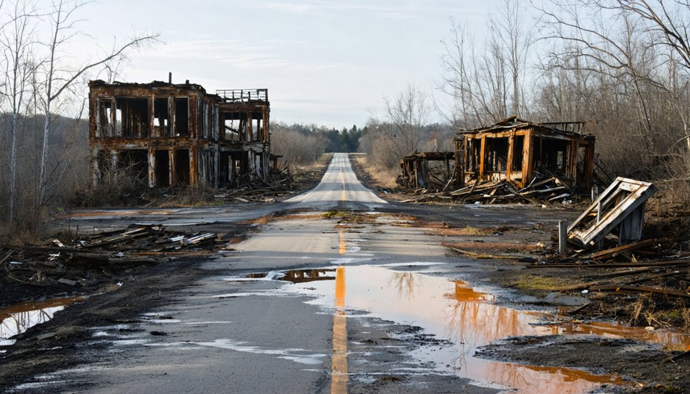
Hockerville sits inside the Tar Creek Superfund Site, one of the most contaminated areas in the United States, and that’s something you can’t afford to ignore before you visit. Lead and zinc extraction left roughly 40 square miles poisoned, and environmental cleanup efforts have stretched across decades without fully resolving the pollution effects on the land.
Before you walk the site, understand what mining left behind:
- Contaminated soil and water still carry heavy metals linked to serious health risks
- Chat piles — waste rock mounds — dot the landscape and remain toxic
- Unstable ground from underground caverns creates physical hazards beyond chemical exposure
You deserve the full picture. Visiting responsibly means recognizing that this land carries a serious industrial legacy, not just an interesting history.
Nearby Ghost Towns to Pair With Your Hockerville Visit
Once you’ve weighed the environmental risks and decided Hockerville is worth the drive, you’d be leaving money on the table by stopping there. The surrounding region is packed with ghost towns sharing the same mining-boom-and-bust DNA.
Picher sits just to the west, offering a rawer look at environmental impact, with massive chat piles and collapsed infrastructure still visible. Cardin, Zincville, and Douthat round out the circuit, each carrying their own historical artifacts and quiet ruins.
Baxter Springs, Kansas, lies just northeast and adds a layer of Civil War and Route 66 history to your itinerary. Treating this corner of northeastern Oklahoma as a single road trip loop lets you piece together the full story of a region that boomed hard and collapsed harder.
What to Pack for a Remote Oklahoma Ghost Town

Packing right can make or break a visit to a site like Hockerville, where the nearest help is miles away and the terrain offers little mercy. Smart safety precautions start before you leave the car. Bring enough water for the heat, sturdy boots for uneven ground, and a basic first-aid kit. Your photographic gear deserves equal attention since foundations, concrete shells, and brush-covered ruins reward a sharp lens.
Packing right can make or break a visit — the nearest help is miles away, and the terrain offers little mercy.
Pack these essentials before you go:
- Navigation tools – a paper map or offline GPS, since cell service is unreliable
- Sun and weather protection – hat, sunscreen, and layers for unpredictable conditions
- Camera and extra batteries – the light shifts fast across open, abandoned landscapes
Prepare well, and Hockerville will reward your curiosity.
Frequently Asked Questions
Who Was Leslie C. Hocker, and Why Was the Town Named After Him?
Like a cornerstone holding up ghost town history, Leslie C. Hocker was an early resident who planted roots in the area. Local legends say his presence earned him the honor of naming Hockerville after him.
How Many People Lived in Hockerville at Its Peak Population?
At its peak, you’ll find ghost town history suggesting Hockerville housed 1,500 or more residents! Local legends paint a vivid picture of a bustling mining boomtown, though some records cite a more modest 550 residents in 1940.
When Did the Hockerville Post Office Open and Permanently Close?
You’ll find that Hockerville’s post office opened in 1918 and permanently closed in 1963, leaving behind ghost town legends and abandoned landmarks that whisper of a once-thriving community’s fascinating, freedom-filled frontier past.
What Minerals Were First Discovered in Hockerville, and in What Year?
Strike while the iron’s hot — you’ll love this mining history tidbit! In 1916, lead and zinc were the mineral types first discovered in Hockerville, sparking a boom that transformed it into a bustling frontier community.
How Many Mines Were Operating in the Hockerville Area During 1918?
You’ll find that during 1918, at least 18 mines were actively operating in the area, a proof to Hockerville’s explosive mining history — all while the town naming honored early resident Leslie C. Hocker.
References
- https://en.wikipedia.org/wiki/Hockerville
- https://www.reddit.com/r/urbanexploration/comments/1ng1r4k/former_mining_town_of_hockerville_ok/
- https://www.youtube.com/watch?v=XuEDy0rvl3c
- https://www.ghosttowns.com/states/ok/hockerville.html
- https://en.wikipedia.org/wiki/List_of_ghost_towns_in_Oklahoma
- https://www.okhistory.org/publications/enc/entry?entry=GH002
- https://www.youtube.com/watch?v=FZJc5Ivk2J4