Planning a ghost town road trip to Tenabo, Nevada means venturing into Lander County’s remote Shoshone Range, where gold and silver discoveries in 1905 sparked a boomtown that collapsed by 1912. You’ll find weathered foundations, scattered ruins, and a three-story brick mill still standing in Mill Gulch. Before you go, confirm road access—active mining operations can restrict entry without warning. High-clearance vehicles, extra water, and smart timing are essential for making the most of what Tenabo still has to offer.
Key Takeaways
- Visit in spring (April–May) or late summer (September) for the best road conditions, cooler weather, and longer daylight hours.
- Use a high-clearance vehicle, carry ample water, and confirm road access with the Battle Mountain BLM office before departing.
- Active mining operations may restrict site access without warning, so check current conditions before planning your route.
- Explore remnants like the three-story brick mill in Mill Gulch, foundations, and scattered debris from Tenabo’s short-lived boom.
- Combine your visit with nearby Austin and Battle Mountain to experience Nevada’s broader boom-and-bust ghost town history.
What Was Tenabo, Nevada: and Why Ghost Town Fans Should Know It?
Tucked into the eastern slope of Nevada’s Shoshone Range at over 5,300 feet, Tenabo is a ghost town in Lander County that most road-trippers have never heard of — and that’s exactly why it’s worth knowing.
Gold and silver discoveries between 1905 and 1906 sparked a rush that built a full community almost overnight. By 1907, Tenabo had nearly 1,000 residents, a hotel, saloons, a school, and stage service running three times a week from Beowawe.
Within just two years of its first gold and silver strikes, Tenabo swelled to nearly 1,000 residents.
That energy collapsed just as fast, with the post office closing by 1912. For you as a ghost town explorer, Tenabo delivers raw mining history without the crowds.
Preservation challenges are real here — ongoing industrial activity can limit access — but that unpredictability is part of what makes the destination feel genuinely off the beaten path.
How Tenabo’s Gold Rush Went From Boom to Ghost Town
When prospectors struck gold near Lander in 1905 and again in 1906, word spread fast, and by 1907 you’d have found a boomtown of roughly 1,000 residents complete with hotels, saloons, a school, and stage service running three times a week from Beowawe.
The boom burned bright but brief — after 1911, dropping ore values and rising production costs gutted the town’s economy, and the post office that opened in December 1906 quietly closed its doors by July 1912.
What you’re left with today is a classic Nevada bust story, where a thriving camp collapsed almost as quickly as it rose.
Gold Discovery Sparks Rush
How quickly can a patch of desert transform into a bustling town of a thousand people? At Tenabo, it happened in roughly a year.
Gold turned up near Lander in 1905, with more gold and silver strikes following in 1906. By 1907, prospectors were flooding the eastern slope of the Shoshone Range, and a full mining camp had taken root.
You’re standing on ground with real archaeological significance — streets that once carried stage coaches running three times weekly from Beowawe. Within months, residents had built a hotel, school, saloons, and an assay office.
Historical preservation efforts help keep this story alive, because the physical evidence fades fast in Nevada’s desert climate. That explosive beginning is exactly what makes Tenabo worth adding to your road trip route.
Rapid Boom Town Growth
Once gold fever took hold, Tenabo didn’t crawl toward growth — it sprinted. Within months, nearly 1,000 people carved out a real community in the Nevada high desert, building something worth remembering in Tenabo’s boomtown legacy.
Here’s what rose fast from that mining history:
- Essential services — a hotel, restaurant, school, saloons, assay office, and grocery store all appeared rapidly.
- Transportation links — stage service from Beowawe ran three times weekly, keeping the camp connected and supplied.
- Industrial infrastructure — major mines like the Little Gem and Gold Quartz fed a three-story brick mill operating in nearby Mill Gulch.
You’re looking at a place that built itself from nothing at full speed — and collapsed just as quickly when the ore ran dry.
Decline Into Ghost Town
By 1911, Tenabo’s story had already started unraveling. Ore values dropped, production costs climbed, and miners quietly packed up and moved on. The post office closed July 31, 1912, and that small bureaucratic detail said everything — the town was done.
What you’re visiting today is a monument to mining heritage and the brutal honesty of boom-and-bust economics. Tenabo didn’t fade gracefully; it collapsed under the weight of its own limitations, particularly that persistent water scarcity that made extraction increasingly unsustainable.
Historical preservation here is minimal, which actually makes the site feel more authentic. You’re walking ground where a thousand people once lived and scrambled for fortune. Nothing’s been cleaned up for you, and that raw honesty is exactly why it’s worth the detour.
What Remains at Tenabo Today
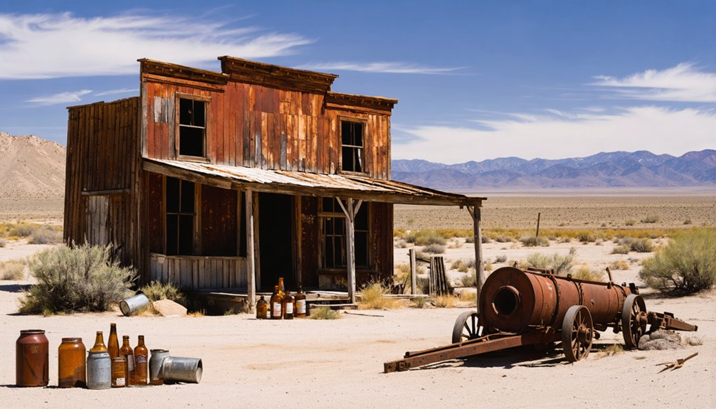
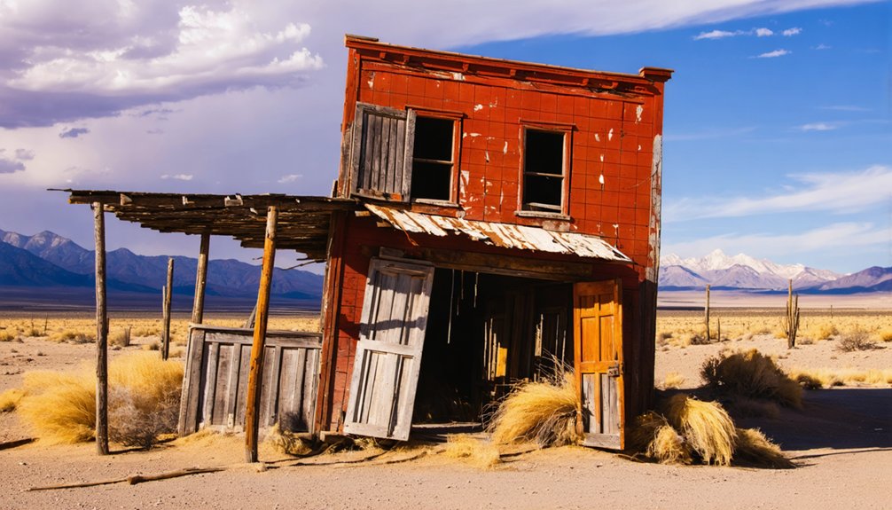
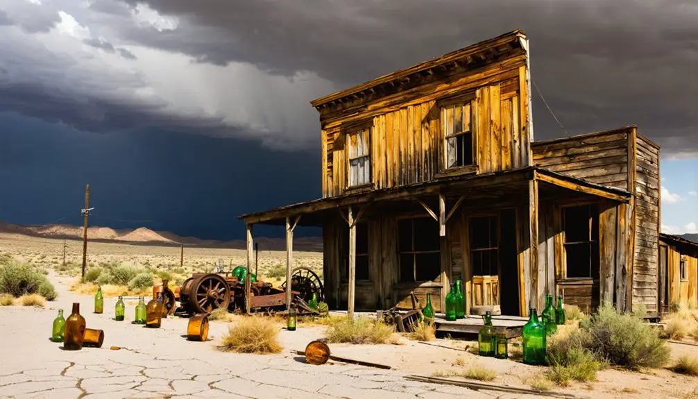
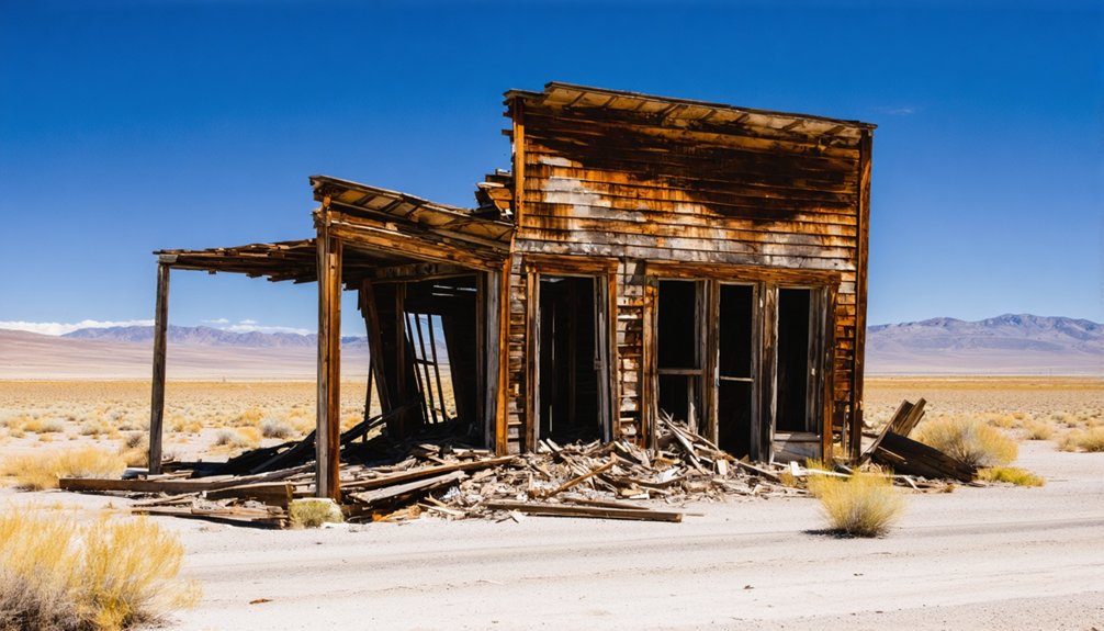
When you arrive at Tenabo, you’ll find a site that’s more atmosphere than architecture — weathered structures still stand, but only a handful of foundations mark where the town once hummed with a thousand residents.
You can pick out remnants of the old mill and scattered building traces, though time and the harsh Nevada climate have taken a heavy toll.
Before you make the drive, check current access conditions, because active mining operations in the district can restrict entry without warning.
Weathered Structures Still Standing
What’s left at Tenabo today won’t wow you with grand facades or intact storefronts — the site has weathered more than a century of desert exposure, and it shows. Still, sharp eyes will find enough to make the stop worthwhile.
Look for these surviving features:
- Foundations and wall remnants from the original townsite, outlining where homes and businesses once stood
- The three-story brick mill structure in Mill Gulch, one of the most tangible historical artifacts still anchoring the landscape
- Scattered debris fields where equipment and building materials slowly return to the desert floor
Preservation efforts here are minimal — nature’s reclaiming the site on its own timeline. You’re exploring on your terms, reading the land itself as your guide.
Limited Foundations Remain
Beyond the mill structure anchoring Mill Gulch, the rest of Tenabo tells its story through absence as much as presence. Scattered foundations mark where the hotel, saloons, and assay office once stood, but you’ll need to look carefully — desert scrub and decades of weathering have reclaimed most of the ground.
Mining history here isn’t preserved behind a fence or interpreted with signage; it’s embedded in broken stone and shallow depressions you might almost miss.
Preservation challenges have been steep. Ongoing industrial mining activity has disturbed portions of the original townsite, and remote desert conditions accelerate decay.
What you’re walking through is more archaeological than architectural. Come with realistic expectations, a sharp eye, and genuine curiosity about the people who built something real here — even if little of it survives.
Access May Be Restricted
Before you plan the drive out to Tenabo, check current access conditions — the site may be completely off-limits. Active mining operations in the district can shut down public access without warning, blocking your chance to explore historical artifacts and aging mining equipment scattered across the terrain.
Keep these three realities in mind:
- Mining companies hold active rights in the area and can restrict entry legally.
- Access roads may be gated, rerouted, or damaged by industrial equipment.
- Conditions change seasonally, so last year’s open route isn’t guaranteed today.
Before loading up the truck, contact the Lander County offices or the Bureau of Land Management for current access status.
A little preparation protects your time and keeps you on the right side of restricted land.
How to Get to Tenabo, Nevada
Reaching Tenabo puts you on the eastern slope of the Shoshone Range in Lander County, roughly midway across Nevada’s rugged interior. Your starting point is Beowawe, the same hub that once ran stage service to the camp three times a week.
From there, you’ll head south into open high-desert terrain, climbing toward a site elevation of about 5,354 feet. The roads out here are unpaved and conditions shift with weather and active mining operations nearby, so check current access before you go.
When you arrive, you’re standing at a place of genuine historical significance — a boomtown that hit 1,000 residents almost overnight. Scattered mining relics and weathered foundations are what remain, quiet evidence of a rush that burned fast and faded just as quickly.
Is Tenabo Actually Accessible Right Now?
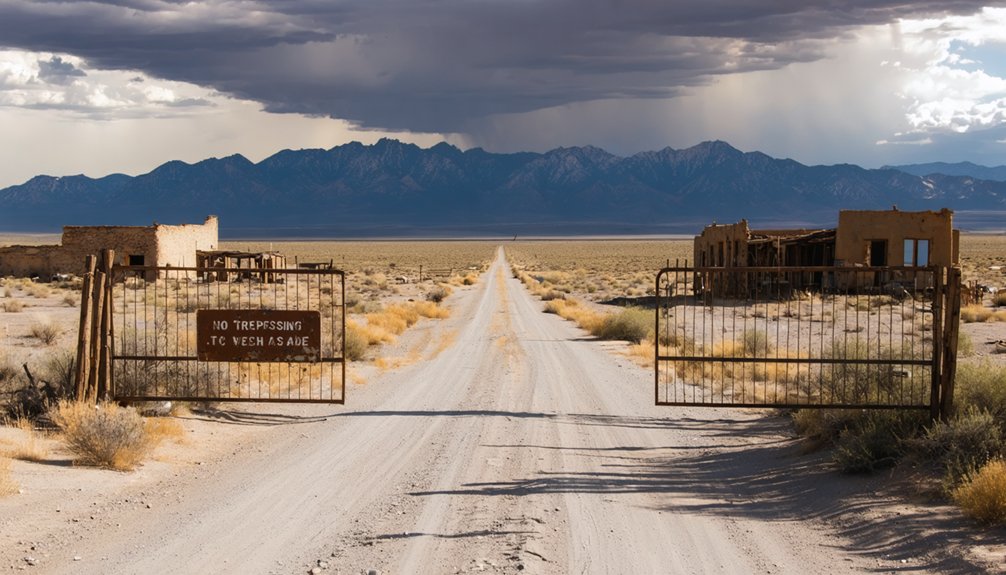
Whether Tenabo is open to you right now is genuinely uncertain — and that’s not a caveat to brush past. Active mining operations can restrict access without warning, blocking your path to mining relics and historical markers you’d otherwise explore freely.
Access to Tenabo is genuinely uncertain — active mining can shut the door without warning.
Before you load up the truck, take these steps:
- Contact Lander County directly to confirm current road and site access conditions.
- Search recent visitor reports on ghost town forums or off-road community boards for firsthand intel.
- Call the Battle Mountain BLM field office — they track industrial activity affecting public land access.
Tenabo rewards the prepared traveler, not the spontaneous one. A quick round of calls could save you a long drive to a locked gate.
What Tenabo-Specific Conditions to Prepare For Before You Go
Tenabo sits at over 5,300 feet on the eastern slope of the Shoshone Range, and the terrain, weather, and industrial activity there will all push back if you’re underprepared. Elevation means temperature swings hit hard, so layer up regardless of season.
The roads serving this district aren’t maintained for casual visitors — high-clearance vehicles handle the conditions far better than standard cars. Active mining operations can shut down access without warning, so confirm current conditions before committing to the drive.
For photography opportunities, morning light hits the weathered foundations cleanly, but you’ll want to move through the site efficiently. Historical preservation isn’t enforced here, meaning the structures are fragile and deteriorating — don’t disturb what remains.
Carry water, since the same scarcity that plagued early settlers still defines the landscape today.
When Is the Best Time to Visit Tenabo?
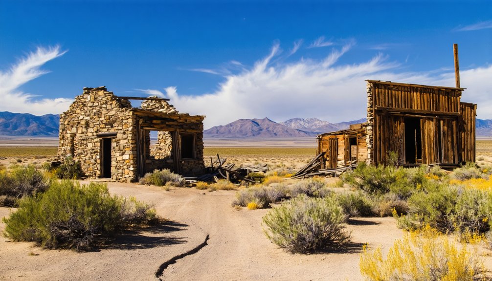
Knowing what conditions to expect on-site is only half the equation — timing your visit right determines whether those conditions work for or against you. Tenabo sits at 5,354 feet, so seasonal shifts hit harder than you’d expect.
- Spring (April–May): Melting snow softens desert roads fast. Wait until they firm up before rolling in.
- Late Summer (September): Ideal balance of dry roads, cooler temperatures, and longer daylight for exploring historical preservation remnants and scattered mining technology ruins without brutal heat.
- Avoid Winter: Snow and mud lock down access entirely, and ongoing industrial operations won’t pause for curious travelers.
You’re chasing freedom on this road trip — don’t let poor timing trade that freedom for a stuck truck and a wasted day.
Which Lander County Ghost Towns Pair Well With Tenabo?
Since Tenabo fits naturally into a broader Lander County loop, you’d be shortchanging yourself by treating it as a standalone stop. The region packs serious mining history into a compact stretch of Nevada desert, and several nearby ghost towns reward curious travelers willing to push off the main road.
Austin, once a booming silver camp, delivers ghost town legends alongside intact Victorian-era architecture that Tenabo simply can’t match anymore.
Battle Mountain adds another layer to the county’s industrial past. Combining these stops lets you trace the full arc of central Nevada’s boom-and-bust story, town by town.
Plan your route deliberately, fuel up before heading into remote terrain, and treat each stop as one chapter in a much larger, rougher story worth reading on the ground.
Using Tenabo as the Starting Point for a Nevada Ghost Town Route

If you’re mapping out a central Nevada ghost town route, Tenabo makes a logical anchor point for the eastern Shoshone Range corridor. Its mining legends and ghost town preservation history connect naturally to the broader Lander County landscape. Build your route outward from here:
- Start at Tenabo – Explore the weathered foundations and mill remnants before heading north.
- Continue to Beowawe – The stage line once connected these two points, and that historic corridor still rewards curious travelers.
- Finish at Austin or Battle Mountain – Both towns carry deep mining legends and offer services for resupply.
You’re not following a tourist trail here. You’re tracing the raw economic ambitions that shaped central Nevada, and that freedom to explore makes every mile worthwhile.
Frequently Asked Questions
What Elevation Is Tenabo, Nevada Located at Above Sea Level?
You’ll find Tenabo sitting at 5,354 feet above sea level, where you can explore weathered historical landmarks while spotting local wildlife roaming the rugged eastern slopes of Nevada’s stunning Shoshone Range.
When Did Tenabo’s Post Office Open and Permanently Close?
Like a flame igniting then fading, Tenabo’s post office opened its doors on December 7, 1906, and permanently closed July 31, 1912 — leaving behind historical architecture and local legends you’ll still uncover today.
Which Specific Mines Operated During Tenabo’s Early Boom Period?
You’ll find that the Little Gem and Gold Quartz mines fueled Tenabo’s early boom period. These iconic gold discovery sites drove the town’s mining history, attracting prospectors and shaping a wild, free-spirited frontier community.
Who Discovered Placer Gold in Mill Gulch, and When?
A.E. Raleigh discovered placer gold in Mill Gulch in 1916, sparking your next gold prospecting adventure! You’ll find this spot among Tenabo’s most mesmerizing historical landmarks, where freedom-seekers like you can uncover Nevada’s rich mining legacy.
How Often Did Stage Service Run Between Beowawe and Tenabo?
Like the Pony Express riders of old, you’ll appreciate that stagecoach history shows transportation routes connected Beowawe to Tenabo three times weekly, keeping this rugged Nevada mining camp supplied and linked to the outside world.
References
- https://en.wikipedia.org/wiki/Tenabo
- https://nvtami.com/lander-county-nevada-ghost-towns/
- https://www.destination4x4.com/tenabo-nevada-ghost-town-lander-county/
- https://www.nevadaghosttownsandmininghistory.com/portfolio-2/tenabo
- https://www.facebook.com/nevadaghosttowns/posts/tenabo-a-mining-rush-spark-that-faded-too-sooncaptured-here-are-the-weathered-re/1044045791096080/
- https://forgottennevada.org/sites/tenabo.html
- https://www.ghosttowns.com/states/nv/tenabo.htm
- https://www.youtube.com/watch?v=aNfB_tnQJ8Y