Planning a ghost town road trip to Grass Creek starts in Coalville, Utah, where Summit County’s coal history runs deep. You’ll find little left standing at this vanished mining settlement, just disturbed earth and subtle depressions hinting at what once thrived here. Visit between late May and early October, secure landowner permission first, and pack sturdy boots and navigation tools. There’s far more to this forgotten corridor than one ghost town can tell.
Key Takeaways
- Grass Creek, located 8 miles northeast of Coalville, Utah, serves as the ideal starting point for exploring Utah’s historic mining ghost towns.
- Secure landowner permission before visiting, as Grass Creek sits on private property; contact Summit County officials or local historical societies for access.
- Plan your route to include nearby ghost towns like Mercur, Standardville, and Scofield, treating each stop as part of a connected historical narrative.
- Visit between late May and early October for optimal road and weather conditions, avoiding spring mud and harsh winter snowfall.
- Pack sturdy boots, layered clothing, water, food, a first-aid kit, and navigation tools for a safe and prepared day trip.
What Is Grass Creek and Why Visit?
Nestled in a mountain valley about 8 miles northeast of Coalville, Grass Creek is one of Utah’s forgotten coal mining ghost towns — and it’s worth tracking down if you’re drawn to places where history quietly collapsed in on itself.
Coal was discovered here in 1860, and miners quickly built a real community around it. Its historical significance lies in how it fueled Utah’s growth, shipping coal over Parley’s Summit to Salt Lake City long before the Union Pacific arrived in 1880.
Coal discovered in 1860 fueled Utah’s growth long before the railroad ever arrived.
That railroad connection briefly transformed Grass Creek into a functioning company town with forty houses and a schoolhouse. Then it unraveled.
Understanding its mining legacy means standing somewhere that once powered a territory. You won’t find a preserved main street — you’ll find something rawer than that.
Why Did Grass Creek Go From Coal Boomtown to Ghost Town?
The same railroad that gave Grass Creek its brief surge of life also carried the seeds of its decline.
Coal mining and town development thrived together until market forces shifted.
Here’s what unraveled it:
- Competing coal sources made Grass Creek’s output less economically viable.
- Railroad economics favored larger, more accessible mining operations.
- The mine was eventually abandoned, triggering population loss.
- Buildings and machinery were removed, erasing the town’s physical presence.
What’s Left to See at the Grass Creek Site Today?
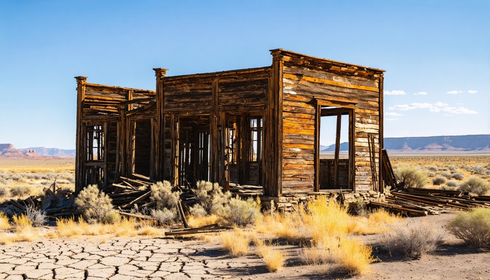
When you visit the Grass Creek site today, you’ll find little more than a quiet mountain valley where roughly forty homes and a schoolhouse once stood, since the buildings and machinery were removed when the mine was abandoned.
The land is now private property, so you’ll need to research access carefully before making the trip, respecting boundaries while still piecing together the town’s footprint from the outside.
Look closely at the terrain, though, and the scars of coal extraction remain written into the landscape, connecting you to the miners who hauled fuel over Parley’s Summit more than a century ago.
Site’s Current Physical Remains
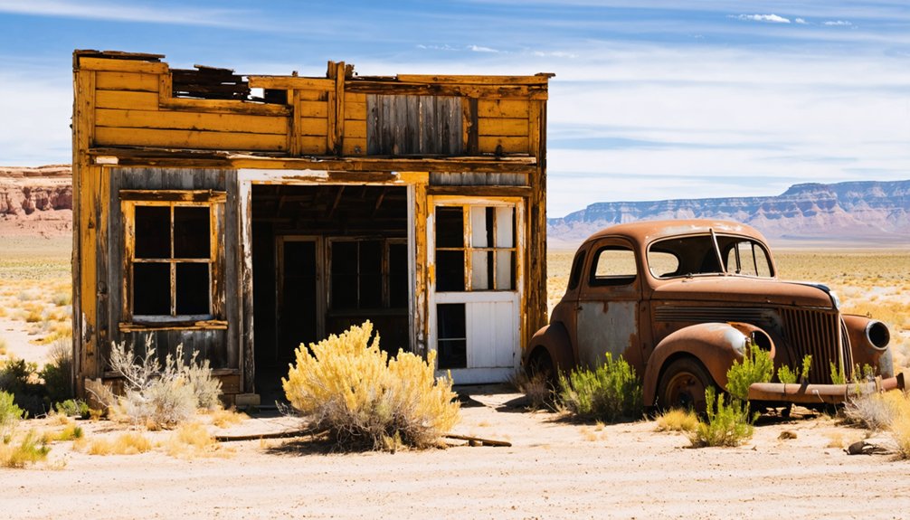
Once you arrive at the Grass Creek site, you’ll find that time and deliberate removal have stripped the landscape down to near silence—no standing structures, no machinery, and no visible remnants of the forty homes and schoolhouse that once anchored this coal-mining community.
Workers cleared buildings and equipment when the mine closed, erasing most ghost town history from the surface. What remains is subtler:
- Disturbed earth marking former building foundations
- Depressions suggesting old mine entrances or coal shafts
- Scattered terrain alterations from railroad grading
- Occasional surface traces where mining artifacts once concentrated
You’re fundamentally reading landscape rather than ruins.
That demands sharper attention and rewards curious, independent explorers willing to engage Utah’s terrain on its own quiet, uncompromising terms.
Private Property Access Challenges
Reading those subtle landscape clues comes with a significant catch—Grass Creek sits on private property, and you can’t simply pull off the road and start wandering across someone’s land.
Private land boundaries mean that access rights matter here, and respecting them isn’t optional. Trespassing won’t just risk a confrontation; it disrespects the landowners who’ve stewarded this forgotten valley long after the miners left.
Your best move is contacting Summit County officials or local historical societies before you ever fuel up the truck. Some landowners grant permission to serious history seekers who ask respectfully.
Do your homework, confirm your route, and secure permission in advance. That preparation transforms Grass Creek from an inaccessible rumor into a genuine, legally-reached destination worth every mile you’ve driven to find it.
Traces of Mining History
Although the buildings and machinery were hauled away long ago, the Grass Creek site still holds quiet evidence of the community that once extracted coal from a 10-foot vein beneath this Summit County valley.
Sharp eyes reward patient explorers. Look for:
- Subtle ground depressions marking former mine shafts
- Scattered historical artifacts like rusted hardware and structural remnants
- Overgrown foundations revealing where forty worker homes once stood
- Landscape scarring left by early mining techniques, including surface stripping and shaft excavation
You’re standing where Union Pacific rails once connected raw extraction to Salt Lake City markets.
The silence here isn’t emptiness — it’s layered history. Every depression and fragment tells a story of families, labor, and an industry that built Utah from the ground up.
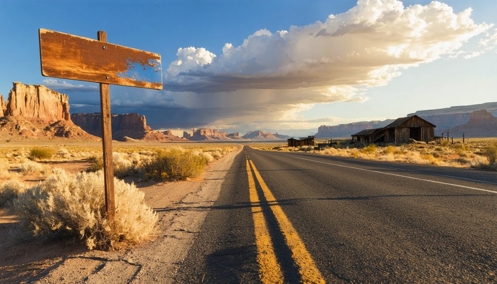
How to Get to Grass Creek From Coalville

Eight miles northeast of Coalville, the ghost town of Grass Creek waits quietly on private land in a mountain valley that once hummed with coal miners and Union Pacific locomotives.
You’ll want to use Coalville as your base — it’s your best practical launchpad for road trip tips and scouting local attractions before heading out.
From Coalville, travel northeast toward the coordinates 40.99°N, 111.31°W, following Summit County roads into the surrounding hills.
Head northeast from Coalville, tracing Summit County roads toward 40.99°N, 111.31°W, where the hills hold their secrets.
Before you go, research current land access carefully since the site sits on private property. Contact local authorities or landowners to confirm entry permissions.
The valley won’t announce itself dramatically, but knowing its history — coal veins, company houses, a schoolhouse — sharpens what you’re actually seeing when you arrive.
How to Get Permission to Visit Grass Creek’s Private Land
Since Grass Creek sits on private land, getting permission isn’t a bureaucratic formality — it’s your first real act of exploration. Respecting private property while pursuing access permissions keeps this forgotten mining valley open to future wanderers.
- Research current ownership through Summit County property records.
- Contact landowners directly — a respectful letter or call works best.
- Explain your historical interest in Grass Creek’s coal-mining heritage.
- Confirm any conditions, boundaries, or seasonal restrictions before arriving.
Landowners often respond warmly when approached honestly. You’re not just asking to cross a fence — you’re requesting a passage through 1860s Utah, where miners carved a community from a mountain valley.
Earn that access, and the ghost town rewards you far beyond what any open road could offer.
Other Utah Ghost Towns Worth Adding to Your Route
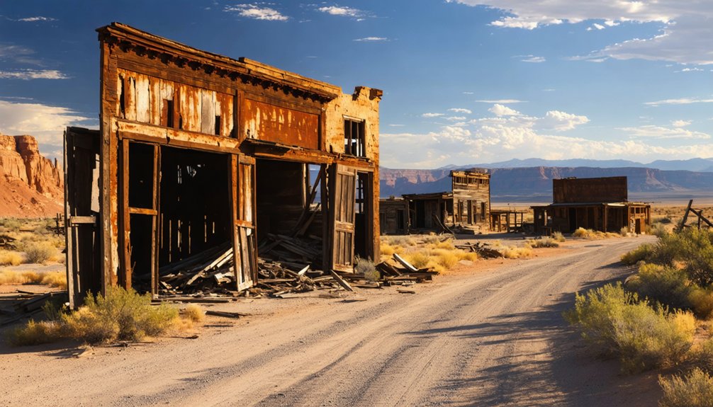
Once you’ve visited Grass Creek, you’ll find Utah’s ghost town landscape stretches far beyond Summit County, offering dozens of abandoned mining communities worth threading into your route.
Towns like Silver Reef, Frisco, and Iosepa each carry distinct histories—silver booms, copper rushes, and immigrant settlements—that deepen the story you started at Grass Creek.
Plan your stops deliberately, researching access, road conditions, and private-property restrictions before you go, so you spend more time exploring and less time backtracking.
Nearby Ghost Towns Explored
Utah’s ghost town landscape doesn’t stop at Grass Creek—if you’ve made the drive out to Summit County, you’re already well-positioned to push further into the region’s forgotten mining corridors.
Ghost town legends and mining artifacts wait around nearly every canyon bend. Consider expanding your route to include:
- Coalville – Your practical staging ground and a living link to the coal era.
- Mercur – A gold-rush remnant in Tooele County packed with layered history.
- Standardville – A Carbon County coal town where industrial ruins still speak.
- Scofield – A haunting community forever marked by Utah’s deadliest mining disaster.
Each stop deepens your understanding of how mineral wealth built—and ultimately broke—entire communities across Utah’s mountain landscape.
Planning Multi-Stop Routes
How you string together your ghost town stops can make or break the entire trip—so treat your route like a historical argument, each town a piece of evidence building toward a richer understanding of Utah’s mining past.
Anchor your journey in Coalville, then push northeast toward Grass Creek before looping through Echo and Wahsatch, where ghost town legends of railroad ambition still echo across the ridgelines.
You’ll encounter mining artifacts scattered across forgotten foundations, each remnant reinforcing the same story: boom, extraction, abandonment.
Plan your mileage deliberately—Utah’s terrain punishes improvisation. Check land access status before you go, since private property can shut down a promising detour fast.
String these stops together purposefully, and you’ll leave with something sharper than photographs—you’ll leave with context.
What Each Town Offers
Each ghost town on your route pulls a different thread from Utah’s mining history, and knowing what you’re walking into sharpens the experience considerably.
- Grass Creek rewards you with coal mining techniques history, early transportation routes over Parley’s Summit, and raw community life built around Union Pacific’s arrival.
- Coalville anchors your trip with regional historical significance and cultural heritage stretching back to 1859 settlement patterns.
- Silver Reef exposes you to hard-rock silver extraction and the economic impact that briefly transformed southern Utah’s desert.
- Standardville shows you how company towns collapsed when coal markets shifted, erasing entire communities almost overnight.
Each stop layers a distinct story. Together, they map Utah’s boom-and-bust soul across terrain that still carries the silence of vanished ambition.
Best Time of Year to Road Trip to Grass Creek, Utah
Timing your road trip to Grass Creek can mean the difference between a rewarding backcountry experience and a frustrating dead end.
Seasonal weather shapes everything here. Summit County winters are harsh, burying mountain roads under snow that makes access nearly impossible from November through March. Spring thaws bring mud that’ll swallow your vehicle whole.
Your best window runs from late May through early October. Summer offers long days, dry roads, and clear mountain air that makes the eight-mile stretch northeast of Coalville feel alive with possibility.
Early fall delivers cooler temperatures and golden landscapes that echo the town’s forgotten history. Whatever season you choose, research current road conditions and private property access before you go.
Freedom favors the prepared traveler.
What to Pack for a Day Trip to Grass Creek, Utah
Reaching Grass Creek means stepping onto remote, private-land terrain where the old coal camps once hummed with Union Pacific rail traffic and miners’ families.
So you’ll want sturdy boots, layered clothing, and plenty of water before you leave Coalville. Pack a first-aid kit, a fully charged phone, and a physical topographic map, since cell coverage along the northeast corridor toward those 40.99°N coordinates can drop without warning.
Your navigation tools matter as much as your boots here, because getting turned around on unmarked private property surrounding a ghost town that operated from roughly 1860 to 1940 carries real consequences.
Essential Gear To Bring
Before you set out for Grass Creek’s remote mountain valley, pack as though the land still demands the same self-reliance it asked of the coal miners who first carved a life there.
Essential gear and safety equipment aren’t optional—they’re your contract with the wilderness.
- Navigation tools – Maps and a compass, since cell service fades fast in Summit County’s folds.
- Water and food – Enough for the full day; no company store remains to resupply you.
- First aid kit – Rugged terrain doesn’t forgive carelessness.
- Sturdy footwear – Rocky mountain valley ground rewards solid boots over casual shoes.
You’re visiting land where infrastructure vanished long ago.
What you carry in determines what you carry out—including yourself.
Three tools form the backbone of any safe visit to Grass Creek: a paper topographic map, a baseplate compass, and a fully charged GPS device loaded with offline Summit County maps.
Cell service disappears fast in these mountain valleys, so don’t rely solely on navigation apps. Paper and compass keep you oriented when technology fails.
Beyond navigation, pack essential safety gear before you leave Coalville’s outskirts. Carry a first-aid kit, an emergency whistle, and a personal locator beacon — Grass Creek sits on private land roughly 8 miles northeast of town, far from quick rescue.
Tell someone your route and expected return time. This land swallowed entire communities whole; it won’t hesitate to swallow an unprepared traveler.
Respect the terrain, know your tools, and you’ll move through it freely.
Where to Stay Near Grass Creek in Summit County
Several good lodging options sit within easy reach of Grass Creek’s remote Summit County hollow, making Coalville your most logical base camp. From there, you can chase local attractions and historic mining corridors without losing momentum.
Consider these accommodation options:
- Coalville motels – budget-friendly, centrally located
- Park City hotels – roughly 20 miles southwest, offering broader amenities
- Echo Reservoir campsites – rugged overnight stays near open terrain
- Weber River dispersed camping – maximum freedom, minimal infrastructure
Each choice positions you differently against the landscape these 19th-century miners once crossed daily.
Pick your base deliberately, confirm access routes the night before, and keep your gear organized. Tomorrow’s ghost town won’t wait.
How to Visit Grass Creek Responsibly: Access, Safety, and Site Ethics
Grass Creek sits on private property today, so you’ll need to secure landowner permission before you set foot on the site—treat that step as non-negotiable, not optional.
Responsible exploration means practicing sustainable travel: pack out everything you bring in, stay on established paths, and leave the landscape exactly as you found it.
Pack it in, pack it out. Stay the trail. Leave nothing behind but footprints.
Historical preservation demands that you resist the urge to pocket artifacts or disturb structural remnants—those fragments are irreplaceable pieces of Utah’s mining heritage.
Bring sturdy boots, carry water, and tell someone your route before heading out.
The freedom to explore places like Grass Creek depends entirely on how respectfully today’s visitors behave.
Treat the site with honest reverence, and future adventurers will inherit the same raw, authentic experience you came to find.
Frequently Asked Questions
Was Grass Creek Ever Shown on Official Utah State Maps?
The knowledge doesn’t confirm that, but given Grass Creek’s historical significance and mapping accuracy demands of the era, you’d likely find it charted during its active mining years — chase those old records and discover the truth yourself!
Did the Union Pacific Railroad Serve Other Summit County Mining Towns?
Like iron veins feeding hungry mountains, the Union Pacific didn’t stop at Grass Creek alone — it threaded through Summit County’s mining towns, connecting their coal-dark hearts to a wider, freedom-hungry world you’re still chasing today.
Are Any Descendants of Grass Creek Miners Still Living in Utah?
It’s quite possible! You might discover descendants still rooted in Utah, carrying mining history and local folklore in their family stories. Seek out Coalville locals — they’re often your best living connection to Grass Creek’s vanished world.
Were There Any Schools or Churches Recorded at Grass Creek?
Like a flicker of civilization in the wilderness, Grass Creek’s ghost town history confirms a schoolhouse existed in this mining community. You’ll find records show roughly forty homes and that one schoolhouse were built for workers’ families.
Did Grass Creek Have a Post Office During Its Active Years?
The records don’t confirm a post office history for Grass Creek. Yet you’ll feel Grass Creek’s significance as you explore its coal-dusted past — a bold, free-spirited community that carved life from Utah’s rugged mountain wilderness.
References
- https://en.wikipedia.org/wiki/Grass_Creek
- https://onlineutah.com/grasscreek_history.shtml
- https://onlineutah.us/grasscreek_history.shtml
- https://archives.lib.byu.edu/subjects/2068
- https://jacobbarlow.com/tag/ghost-towns/page/3/
- https://www.familysearch.org/en/wiki/Utah_Ghost_Towns
- https://www.youtube.com/watch?v=2r8LY_bl_go
- https://utahrails.net/utahcoal/grass-creek.html
- https://www.boxeldercountyut.gov/523/Blue-Creek-History
- https://www.facebook.com/groups/864060180303556/posts/7067031900006322/


