Planning a ghost town road trip to Sheridan, South Dakota means searching for something you can’t walk through—because it’s underwater. Founded in 1875 as Golden City, Sheridan thrived on gold mining before fading to just 10 residents by 1920. A 1939 dam sealed its fate, burying streets and mine shafts beneath 20 feet of water. Head north on Highway 85A from Hill City, and there’s much more to this sunken story than the surface reveals.
Key Takeaways
- Sheridan Lake, located eight miles north of Hill City via Highway 85A, is a submerged ghost town founded in 1875 as Golden City.
- The town was flooded in 1939 after Spring Creek Dam construction, leaving streets and mine shafts beneath approximately 20 feet of water.
- Summer and fall offer the best visiting conditions, with clear weather, long daylight hours, and accessible roads for exploration.
- Nearby attractions include Pactola Reservoir, Mystic, and Rochford, making a connected ghost town road trip through Black Hills history possible.
- Hill City serves as an ideal base, preserving authentic mining history while offering convenient access to surrounding abandoned and submerged town sites.
What Makes Sheridan Lake an Underwater Ghost Town?
When Spring Creek was dammed in 1939, the rising waters swallowed Sheridan whole — streets, mine shafts, and all — transforming what was once a bustling gold mining camp into one of South Dakota’s most unusual ghost towns.
Unlike most abandoned towns you can walk through, this ghost town sits roughly 20 feet beneath Sheridan Lake’s surface, permanently sealed away from casual exploration.
Sheridan’s story began in 1875 as Golden City, a hard-rock mining settlement that once served as Pennington County’s first county seat.
The Queen Bee and Calumet mines drove its growth, but exhausted gold deposits drove its decline.
By 1920, only 10 residents remained. The dam simply finished what the failing mines started.
For you, underwater exploration here isn’t possible — but knowing an entire town rests beneath those rippling waters makes the view extraordinary.
How Did Sheridan Lake Flood an Entire Ghost Town?
When you trace Sheridan’s fate, it leads directly to 1939, when workers dammed Spring Creek and forever sealed the town’s destiny beneath rising waters.
The dam’s construction wasn’t dramatic — it simply filled slowly, swallowing abandoned structures, silent mine shafts, and the old county seat’s foundations without ceremony.
Today, you’re looking at roughly 20 feet of water pressing down over what was once a living, breathing gold rush community.
Spring Creek Dam Construction
In 1939, the U.S. government dammed Spring Creek, and the rising waters swallowed what little remained of Sheridan whole. The dam construction wasn’t merely an engineering project — it was a burial.
Decades of gold rush ambition, county seat politics, and hard-rock mining history sank beneath a quiet, rippling surface.
The historical significance of this moment is striking. A town that survived fire, economic collapse, and near-total abandonment finally met its end not through neglect, but through deliberate flooding.
Spring Creek’s waters rose steadily, consuming abandoned structures, mine remnants, and the original town site in SW¼, Section 12.
Today, you’re fundamentally standing above a drowned chapter of Black Hills history whenever you visit Sheridan Lake’s shore.
That’s a road trip moment worth pausing for.
Town Submerged Underwater
Flooding a ghost town takes more than just water — it takes timing, and by 1939, Sheridan’s timing couldn’t have been worse.
When Spring Creek’s dam sealed shut, the rising waters swallowed everything — streets, mine shafts, and abandoned structures — dropping the entire town site roughly 20 feet beneath what’s now Sheridan Lake.
Today, you’re standing above a submerged chapter of Black Hills history.
There’s no underwater exploration access for the casual visitor, but that mystery sharpens the experience.
The lake’s surface ripples over what was once Pennington County’s first county seat, making Sheridan one of America’s most unusual cases of accidental historical preservation.
Drive Highway 85A eight miles north of Hill City, and you’ll find yourself gazing across waters hiding an entire forgotten world beneath you.
How to Get to Sheridan Lake on Highway 85A
To reach the submerged ghost town of Sheridan, you’ll take Highway 85A north from Hill City, covering just eight miles before Sheridan Lake appears on your horizon.
The route cuts through the Black Hills landscape, tracing ground that gold miners once traveled when this territory buzzed with ambition and hard rock drilling.
You’re fundamentally driving toward a watery grave of an entire 19th-century county seat, still resting some 20 feet beneath the lake’s surface.
Highway 85A Route Access
Nestled eight miles north of Hill City, Sheridan Lake sits just off Highway 85A, making it one of the more straightforward ghost town destinations in the Black Hills.
You’ll follow a route that once carried prospectors chasing Black Hills gold, now leading you to rippling waters hiding an entire town beneath the surface. The drive itself connects you to ghost town history without demanding complicated detours or back-road navigation.
As you approach, remember you’re traveling toward a submerged mining legacy — a county seat, a bustling camp, a failed dream — all lying roughly 20 feet underwater.
Pull over, take in the lake’s surface, and let that quiet expanse remind you that freedom sometimes means chasing stories that most travelers never bother to find.
Eight Miles From Hill City
Getting from Hill City to Sheridan Lake takes less than fifteen minutes, but you’re covering ground that once hummed with prospectors, supply wagons, and the restless ambition of a brand-new mining frontier.
Head north from Hill City on Highway 85A, and the Black Hills will reward you immediately with scenic views that feel untouched by time. Ponderosa pines crowd the roadside, granite formations push skyward, and the open road invites genuine exploration.
Eight miles in, Sheridan Lake appears. Beneath those calm waters sits an entire ghost town, submerged since 1939 when Spring Creek was dammed.
What was once Golden City, then a booming county seat, now rests silently below the surface. You’re not just arriving at a lake — you’re arriving at living history.
What Remains Visible of Sheridan Lake’s Sunken Ghost Town?
What you won’t find during underwater exploration:
- Visible building foundations above the waterline
- Original mining structures from Queen Bee or Calumet mines
- Street layouts or recognizable town features
- Any preserved artifacts accessible without diving equipment
What remains is the lake itself — a liquid monument to ambition, exhaustion, and abandonment.
The freedom of this road trip lies in knowing something extraordinary hides beneath ordinary water.
You’re standing above a former county seat, swallowed whole by Spring Creek’s dam in 1939.
When Is the Best Time to Visit Sheridan Lake?
When you visit matters as much as where you stand. Summer delivers the best seasons for exploring Sheridan Lake, when long daylight hours stretch your adventure and warm weather conditions keep the water clear and accessible.
You’ll navigate Highway 85A comfortably, eight miles north of Hill City, without battling ice or mud. MDT time zone (UTC-6 DST) means golden evening light lingers over the lake’s surface, where Golden City once thrived beneath your gaze.
Spring arrives muddy and unpredictable, while winter closes roads and buries context.
Fall offers crisp clarity if you move fast before storms roll across Pennington County. Whatever season calls you, come ready to imagine 1875’s mining chaos humming twenty feet below those rippling waters.
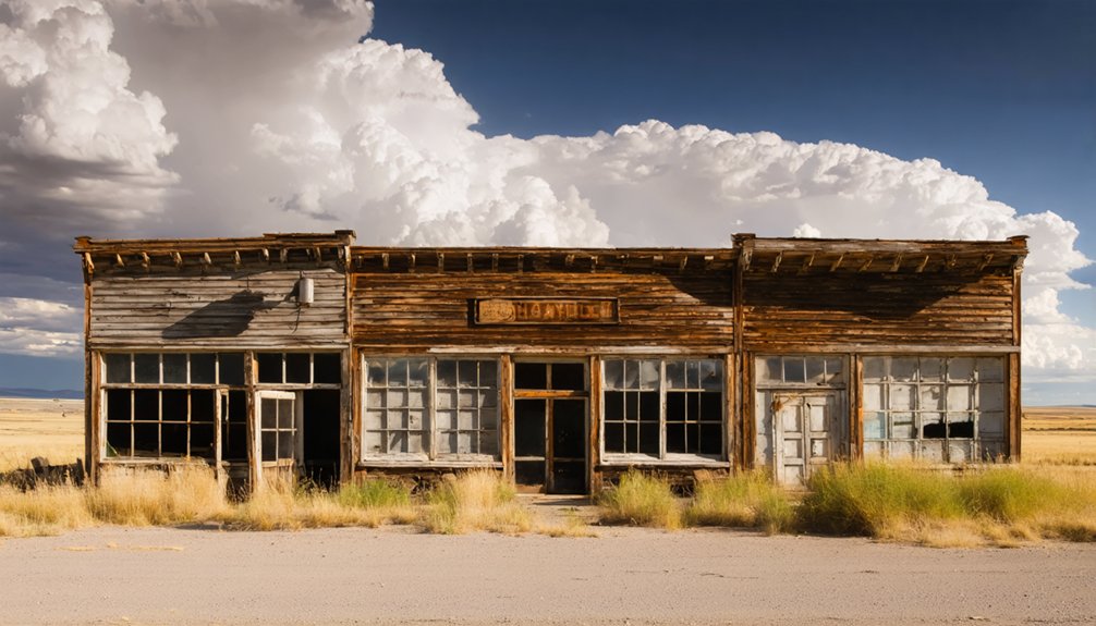
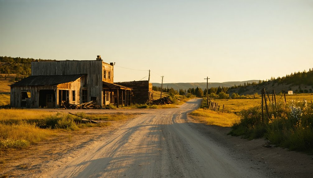
Which Black Hills Ghost Towns Pair Well With a Sheridan Lake Visit?
Sheridan Lake doesn’t stand alone in Pennington County’s haunted landscape — Pactola sits just down the road, another submerged ghost town swallowed by a reservoir, its 1870s bones resting beneath man-made waters much like Golden City’s.
String these ghost town attractions together for a road trip rooted in mining history and frontier grit.
Pair your Sheridan Lake visit with these Black Hills stops:
- Pactola Reservoir — another drowned town, eerily mirroring Sheridan’s fate
- Hill City — living gateway town preserving authentic Black Hills mining history
- Mystic — an abandoned hardrock camp tucked deep in the hills
- Rochford — a weathered ghost town still wearing its gold rush bones
You’re charting territory where entire communities vanished. Own that freedom.
Frequently Asked Questions
What Was Sheridan’s Original Name Before Becoming a Ghost Town?
Before going viral in 1875, Sheridan’s original name was Golden City! You’ll uncover its historic significance through local legends of frontier gold miners who boldly carved this adventurous Black Hills mining camp into existence.
Which Specific Gold Mines Operated in Sheridan During Its Peak Years?
You’d have worked the Queen Bee and Calumet mines, where bold mining techniques carved Black Hills gold. These legendary shafts fuel ghost town legends, beckoning adventurous souls who crave freedom to explore Sheridan’s rugged, untamed past.
How Deep Underwater Does the Submerged Ghost Town of Sheridan Lie?
You’ll find Sheridan’s submerged streets resting approximately 20 feet underwater, where historical preservation keeps its secrets sealed. Underwater exploration isn’t possible, but knowing that depth makes you feel the ghost town’s adventurous, freedom-calling mystery beneath Sheridan Lake’s surface.
When Did Sheridan First Serve as Pennington County’s Original County Seat?
Forget modern bureaucracy! Sheridan boldly claimed its historic significance as Pennington County’s original county seat from 1877 to 1878, a thrilling chapter in county evolution you’ll appreciate when exploring this freedom-loving, gold-rushing ghost town.
What Caused Most of Sheridan’s Buildings to Disappear in the 1880S?
A devastating fire swept through Sheridan in the mid-1880s, destroying most of its buildings. You’d witness how this tragedy accelerated mining decline and town abandonment, leaving behind a shell of what was once a thriving Black Hills gold camp.
References
- https://www.onlyinyourstate.com/state-pride/south-dakota/underwater-ghost-town-sd
- https://kids.kiddle.co/Sheridan
- https://www.sdhspress.com/journal/south-dakota-history-2-2/some-black-hills-ghost-towns-and-their-origins/vol-02-no-2-some-black-hills-ghost-towns-and-their-origins.pdf
- https://icatchshadows.com/okaton-and-cottonwood-a-photographic-visit-to-two-south-dakota-ghost-towns/
- https://www.ghosttowns.com/states/sd/sheridan.html


