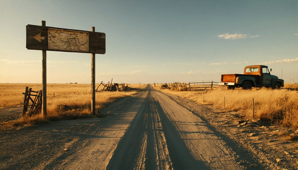
You’ll find Agnes City at the intersection of Road 360 and Road E in northwest Lyon County, where 282 weathered graves and a granite D.A.R. marker stand sentinel over the prairie. Head half a mile north from the cemetery to reach the original townsite, where Arthur Baker’s thriving Santa Fe Trail trading post once served westward-bound pioneers before Confederate raiders torched it in 1863. The scattered foundation stones, trail ruts, and frontier markers reveal the violent story that transformed this bustling settlement into Kansas’s most haunting ghost town.
Key Takeaways
- Find Agnes City at the intersection of Road 360 and Road E in northwest Lyon County, following routes parallel to the Santa Fe Trail.
- Visit the cemetery with 282 graves, granite DAR marker, and signs directing to nearby Santa Fe Trail ruts visible in prairie.
- Explore archaeological remains including charred foundation stones from Arthur Baker’s trading post at the historic Rock Creek crossing.
- Learn about Bleeding Kansas history where Arthur Baker was fatally ambushed by Anderson’s gang, ending the settlement in violence.
- Combine your visit with Withington’s Toll Bridge marker along Road 370 for a complete frontier trading post experience.
Getting to the Remote Agnes City Townsite in Lyon County
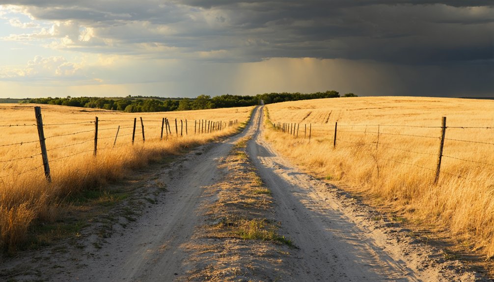
Finding Agnes City requires traversing the rolling prairie of northwest Lyon County, where the ghost town’s remnants hide along the banks of Rock Creek, eight miles east of Council Grove.
You’ll navigate to the intersection of Road 360 and Road E, where the cemetery stands across from the old townsite. From there, head half a mile north to reach the original settlement area. The route parallels the historic Santa Fe Trail, whose wagon ruts still scar the landscape.
You’re several miles north of Allen, approaching the Morris County line through countryside that’s changed little since 1856. The cemetery reveals potential gravesite relocations from the town’s second location on Bluff Creek, four miles east. Watch for unmarked pioneer graves among the weathered stones.
What Remains: Cemetery Grounds and D.A.R. Markers
The Agnes City Cemetery crowns a gentle rise where prairie grass meets weathered limestone, housing more souls in its few acres than ever lived in the townsite below. You’ll find 282 graves documented here, marked by monuments ranging from simple fieldstones to elaborate granite markers.
The star attraction is a granite Santa Fe Trail marker erected by the Daughters of the American Revolution between 1906 and 1912—the first such monument placed within cemetery grounds rather than along the trail itself. Originally positioned at the second Agnes City site, monument restoration efforts moved it here in 1972.
A nearby sign points east toward “Santa Fe Trail Ruts,” offering visitor interpretations of the wagon tracks still visible across the Kansas landscape, connecting you directly to westward-bound pioneers.
The Story of Arthur Baker and the Santa Fe Trail Trading Post
Long before Agnes City earned its name, Arthur Inghram Baker transformed a windswept Rock Creek crossing into a thriving frontier enterprise that would anchor a family dynasty. Arriving from Missouri in 1854, he seized the opportunity for frontier entrepreneurship where the Santa Fe Trail met necessity.
You’ll find his vision materialized through an integrated complex—trading post, mill, blacksmith shop, and store—strategically positioned six miles east of Council Grove. This wasn’t just pioneer commerce along santa fe trail; it was calculated placement where wagon trains needed supplies and weary travelers sought provisions.
Tragedy on the Frontier: The Murder That Ended Agnes City
As tensions between Free-Staters and Confederate sympathizers ignited across Bleeding Kansas, Arthur Baker’s outspoken Union loyalty through his Council Grove Press made him a marked man. The frontier violence that had been simmering erupted on July 3, 1862, when the Anderson gang ambushed Baker and his brother-in-law George Secor at Rock Creek crossing. Four gunmen emerged from the woods, firing relentlessly. Though both men retreated to a cellar and Baker wounded Jim Anderson, the attackers torched the storehouse, mortally wounding Baker inside. Secor escaped through a back window but died within 24 hours. The gang fled toward their Osage county hideout, forcing William Harris at gunpoint to serve them breakfast. Agnes City‘s fate was sealed—without Baker, the settlement couldn’t survive.
Exploring Archaeological Evidence and Historical Artifacts

Standing among the windswept grasses near Bushong, you’ll find the Agnes City Cemetery marker—a granite monument erected by the Daughters of the American Revolution that serves as the settlement’s most prominent archaeological remnant. The archaeology of early colonial settlement reveals Arthur Inghram Baker’s 1856 frontier vision through scattered graves and the original Rock Creek Trading Post site.
Windswept prairie grasses now guard granite monuments and scattered graves—all that remains of Arthur Inghram Baker’s vanished 1856 frontier settlement.
Artifacts from outlaw attacks include charred foundation stones where Baker’s stone dwelling once stood—burned during a violent raid that stole two prized horses.
Physical Evidence You Can Still Discover:
- Cemetery grounds preserving graves from the 1856 settlement, located half-mile north of Road 360
- Trading post ruins where mill, blacksmith shop, and store operations once thrived
- Santa Fe Trail marker standing sentinel over Kansas prairie, marking vanished dreams
Locating Santa Fe Trail Ruts and Withington’s Toll Bridge
You’ll find the commemorative sign for Withington’s Toll Bridge standing along Road 370, just east of Road M in Lyon County, marking where Charles Withington built one of the few toll bridges along the entire Santa Fe Trail.
Though another marker in the Agnes City Cemetery area points eastward toward “Santa Fe Trail Ruts,” the actual wagon swales have faded from the landscape over the past 150 years.
The physical evidence of thousands of wagons that once rolled through 142 Mile Creek has largely disappeared, leaving only these roadside monuments to guide your search for the historic crossing.
Visible Trail Ruts Today
The Santa Fe Trail’s most accessible ruts lie approximately five miles west of Council Grove, where a wide swale carved by countless 19th-century wagon wheels still scars the Kansas prairie. You’ll find these wagon wheel impressions 0.7 miles south of Highway 56’s intersection with 1400 Road, marked by signage along the fence line. Though situated on private property, you can view this historical landmark preservation from the roadside.
For ideal viewing conditions, consider these timing factors:
- Spring burns reveal the deepest ruts as range management fires clear away accumulated vegetation
- Early morning or late afternoon light casts shadows that accentuate the swale’s depth and contours
- After rainfall, the depression holds moisture longer, creating stark contrast against drier surrounding prairie
Nearly 150 years later, these tracks remain your tangible connection to westward-bound traders.
Historic Toll Bridge Marker
Driving south from Allen on Road 370, watch for the commemorative marker just east of Road M that identifies Charles H. Withington’s toll bridge over 142 Mile Creek. This sign stands where one of the Santa Fe Trail’s few toll bridge operations once thrived, generating revenue for Withington’s frontier empire from the 1850s through 1866.
The historical background reveals Withington settled here in June 1854, building his bridge alongside a store, hotel, and massive blacksmith shop with ten forges. You won’t find visible ruts at this crossing, but the marker connects you to authentic trail commerce where wagons paid tolls before entering the Flint Hills.
The site’s legacy ended when railroads replaced wagon trains, transforming this critical crossing into quiet Kansas grassland.
Planning Your Visit: What to Expect at This Kansas Ghost Town

When you arrive at the intersection of Road 360 and Road E, you’ll find a windswept prairie cemetery where Agnes City once thrived—no buildings stand, only a weathered D.A.R. granite marker relocated here in 1972.
The cemetery itself holds more burials than any other spot in the township, including the Gilbert family enclosure near where the Santa Fe Trail once carried fifty wagons daily past Baker’s blacksmith shop and trading post.
Don’t expect dramatic ruins; instead, you’ll discover subtle reminders of frontier life where open grassland has reclaimed everything except memory and stone.
What Remains Today
Unlike many Kansas ghost towns that retain crumbling foundations or weathered storefronts, Agnes City has vanished almost entirely into the prairie. You’ll find farmland where pioneers once built their dreams, with nature reclaiming what civilization briefly touched. The remnants of original foundations disappeared decades ago, leaving only whispers of what stood here.
What you’ll discover today:
- The DAR granite marker – a solitary sentinel standing where the town center once bustled with Santa Fe Trail traffic
- Agnes City Cemetery – half a mile north on rural roads, where preserved historic headstones tell stories of settlers who never left
- Endless agricultural fields – corn and wheat now growing where storefronts, dwellings, and warehouses once lined dusty streets
This haunting absence creates its own powerful narrative about impermanence and freedom.
Directions and Trail Access
Reaching Agnes City requires traversing a web of rural county roads that slice through the tallgrass prairie of northwest Lyon County, about eight miles east of Council Grove. From Emporia, head north past Americus to Highway 56, or take the Admire turnpike exit westbound.
You’ll find the cemetery half a mile north of Road 360 and Road E, marked by a granite DAR monument. Trail maintenance remains minimal here—authenticity trumps polish.
Drive Road N north of Road 370 to spot wagon ruts scarring the earth, physical evidence of thousands who passed through seeking their fortunes. A second DAR marker on Road 370 east of Road M guides you closer.
The scenic vistas reward those willing to venture off-grid, where undulating grasslands reveal America’s westward expansion.
Frequently Asked Questions
Are There Restroom Facilities or Services Available Near the Agnes City Site?
No facilities exist at Agnes City’s ruins. You’ll find gas station amenities and dining options nearby in Council Grove, the closest town offering modern conveniences. Pack essentials before exploring these remote prairie remnants along abandoned trails.
What Is the Best Time of Year to Visit the Cemetery?
You’ll find the cemetery most rewarding during early spring season when wildflowers emerge, or amid autumnal foliage conditions when golden grasses frame weathered headstones. Both periods offer comfortable temperatures and stunning light for photography while you’re exploring freely.
Is the Cemetery Accessible for Visitors With Mobility Limitations?
Unfortunately, wheelchair accessibility isn’t documented at this rural cemetery. You’ll encounter rough county roads and uneven terrain without designated paths or ramps. There’s no nearby visitor center offering mobility support, so plan accordingly for independent exploration.
Can Visitors Access the Baker Family Burial Plot East of Town?
You’ll find the Baker family burial plot within the accessible cemetery grounds, not requiring separate property access. Despite its historical significance and lack of markers, you can visit this wire-fenced plot without private property concerns affecting your exploration.
Are There Nearby Towns With Lodging for Overnight Stays?
Yes, you’ll find lodging in Ness City (15 miles) and Ransom, plus Hays hotels 45 miles away. While nearby camping options aren’t listed here, local dining recommendations complement your ghost town adventure perfectly for overnight explorers.


