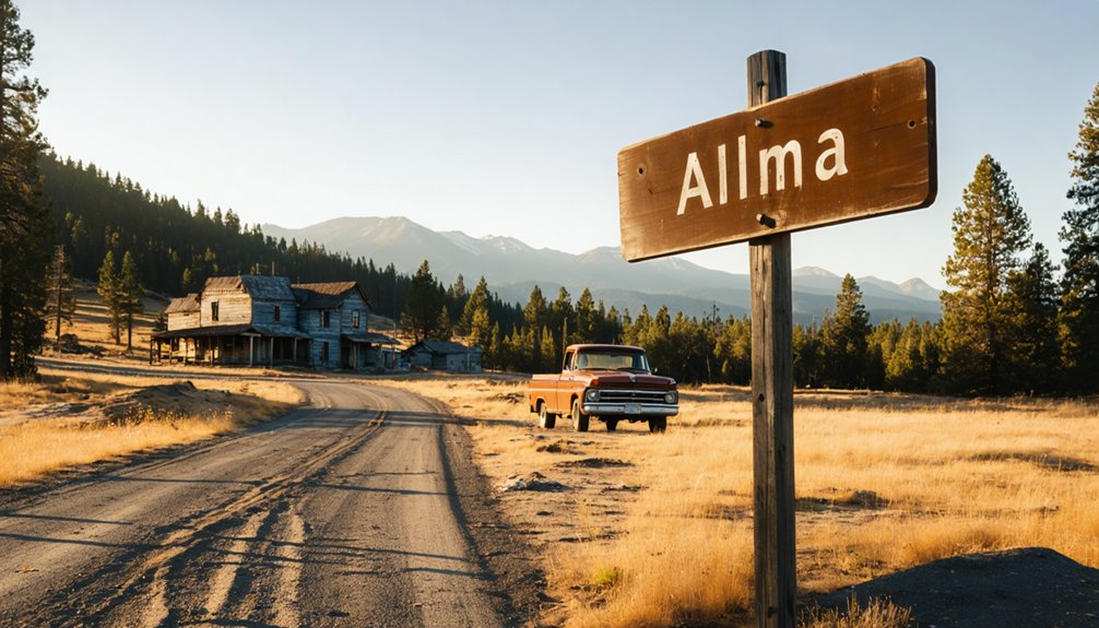
You’ll find the submerged ghost town of Alma beneath Lexington Reservoir’s surface, accessible via the Bear Creek Road exit off Highway 17 South. Park near Alma Bridge Road on the reservoir’s eastern shore, where a tunnel under the highway leads to the old bridge foundations. Visit during late summer or early fall when dropping water levels reveal brick foundations, concrete steps, and crumbling remnants of this 1952-flooded logging community. The surrounding Santa Cruz Mountains hide additional abandoned settlements worth discovering on your journey.
Key Takeaways
- Access the site via Bear Creek Road exit off Highway 17, then follow Alma Bridge Road to Lexington Reservoir’s eastern shore parking area.
- Visit during late summer to early fall when water levels drop, revealing submerged ruins like brick foundations and concrete steps.
- Locate the tunnel beneath Highway 17 north of the parking area connecting to Black Road and the old foundation sites.
- The 1952 James J. Lenihan Dam submerged Alma, a former gold mining town, and neighboring settlements beneath Lexington Reservoir.
- Boat launch facilities with twenty trailer spaces and a carry-down walkway provide water access at 17770 Alma Bridge Road.
The Rise and Fall of a Mountain Logging Community
The cultural heritage of this mountain community vanished methodically: the railroad ceased operations in 1940, Highway 17 bypassed the old routes, and logging declined. By 1950, the James J. Lenihan dam sealed the fate of both Alma and Lexington, submerging what little remained of these once-vital stops along the mountain corridor. Today, visitors can still find crumbling foundations and sealed tunnels as remnants of these ghost towns.
What Lies Beneath Lexington Reservoir
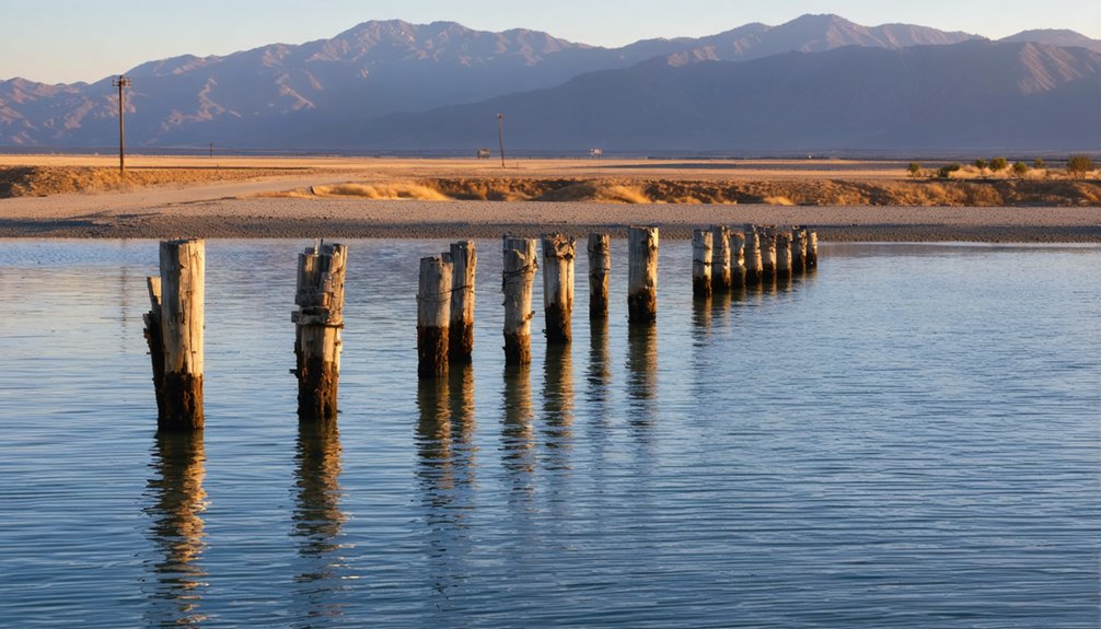
Beneath Lexington Reservoir’s surface lies a preserved snapshot of California’s logging past, where the ghost towns of Alma and Lexington rest in their watery grave. You’ll find brick foundations, concrete steps, and fence posts emerging along the western edges when drought drops water levels.
The 1952 James J. Lenihan Dam buried these settlements—drowning the original Highway 17, the 1926 bridge, and rock walls that once defined property lines. While the environmental impacts of reservoir construction displaced fewer than 100 Alma residents, it erased their cultural heritage preservation from visible memory.
You can glimpse this submerged history during severe droughts, like 2008’s temporary lowering to 7% capacity. These rare moments reveal shoreline trees, old roads, and foundational remnants—your fleeting connection to lives lived before the flood. Lexington housed the first sawmill in Santa Clara County, established in 1847, marking the region’s early industrial development. The area traces back to 1848 when William Hanks and Isaac Branham first settled this mountain terrain.
Getting to the Submerged Ghost Town Site
You’ll find the submerged remains of Alma by taking the Bear Creek Road exit off southbound Highway 17, crossing back over the freeway, and following Alma Bridge Road to the parking area near Lexington Reservoir’s eastern shore.
The ghost town’s foundations emerge from the water only during severe droughts when reservoir levels drop dramatically, making timing pivotal for your visit.
Plan your expedition during late summer or early fall after dry years, when California’s water shortage transforms the reservoir into a window to the past. This once gold mining town in California now lies beneath the waters, unlike its Victorian-era counterpart that still stands in South Australia.
Access the ruins by locating the tunnel beneath Highway 17 just north of the parking area, which connects to Black Road and leads directly to the old bridge and foundation sites.
Lexington Reservoir Access Points
When planning your journey to glimpse the submerged remnants of Alma beneath Lexington Reservoir‘s waters, you’ll find the primary access point at 17770 Alma Bridge Road in Los Gatos—a county-operated park that serves as your gateway to this drowned valley.
The boat launch facilities at the reservoir’s north end offer twenty trailer parking spaces and a boarding float, though you’re limited to non-motorized craft for exploring above the ghost town’s watery grave. A carry-down walkway provides alternative water entry. Restroom facilities are available on-site for visitors’ convenience.
Beyond the shoreline, recreational trail connections beckon—Jones Trail winds along the historic stagecoach route that once served Alma’s residents, while Los Gatos Creek Trail terminates dramatically atop Lexington Dam. The 10-mile paved trail provides a connected corridor along Los Gatos Creek, linking several county parks along its gradual ascent to the reservoir. These pathways grant panoramic vantage points where you can contemplate the vanished community resting in the depths below.
Best Viewing Season Timing
Timing your visit to Lexington Reservoir requires strategic planning around the fickle dance between rainfall and water levels—a gamble where drought becomes your unlikely ally. You’ll find the sweet spot between late summer and early fall, when reservoir levels hit their annual low and Alma’s foundations break through the surface.
Spring offers balanced conditions, though fog can shroud your view. Summer delivers warm, dry reliability—expect temperatures climbing past 80°F—while early fall extends your window before winter storms flood the site again.
Keep flexible viewing dates in your back pocket; there’s no guarantee the ruins will surface during any given year. Potential weather impacts shift dramatically with California’s Mediterranean cycles, making drought years your best bet for glimpsing this submerged past. Unlike ghost towns preserved in arrested decay, Alma’s visibility depends entirely on fluctuating water levels. The town shares its name with various geographic locations across the United States and beyond.
When to Visit for the Best Views of Underwater Ruins
You’ll want to time your visit between late spring and early fall, when California’s dry season pulls the reservoir down and exposes fragments of Alma’s drowned foundations. Water levels fluctuate with rainfall patterns and dam operations, so extremely dry years offer the most dramatic reveals of concrete slabs, old roadbeds, and building remnants emerging from the lakebed.
Check recent precipitation data before making the trip—what lies visible one summer might stay hidden beneath murky water the next.
Seasonal Water Level Patterns
The submerged ruins of Alma expose themselves most dramatically during late fall and early winter, when months without substantial rainfall pull Lake Berryessa’s waters down to their annual lows. You’ll witness the most spectacular drought induced shoreline exposure between October and December, particularly following dry years.
Water level fluctuations reached extremes in December 2022 at 394 feet, displaying foundations and remnants normally hidden beneath 50 feet of water. Come late November, like the 427.9-foot reading in 2024, you’ll catch glimpses before winter storms raise the reservoir again.
Spring through summer maintains moderate levels—around 415 feet—offering limited visibility. Avoid visiting after wet winters when the lake climbs above 430 feet, completely concealing your ghost town beneath the depths.
Dam Maintenance Schedules
Planning your expedition around Monticello Dam’s operational calendar won’t yield the viewing advantages you might expect. Unlike predictable seasonal drawdowns, dam water level adjustments for maintenance follow irregular schedules driven by infrastructure needs rather than visitor accessibility. You’ll find no published timetables guaranteeing prime viewing windows of underwater ruins maintenance areas.
Your best strategy abandons rigid planning in favor of spontaneous opportunity. Isabella Lake’s water releases respond to flood control demands and construction phases, not sightseeing calendars. Rather than chasing elusive maintenance schedules, monitor real-time reservoir levels through USGS gauges and local reports. When drought conditions naturally lower the waterline, you’ll discover Alma’s remnants without coordinating around unpredictable dam operations. Freedom means adapting to nature’s timing, not bureaucratic maintenance windows.
Optimal Viewing Conditions
Summer’s relentless dry season transforms Lexington Reservoir into a time machine, peeling back decades of water to reveal Alma’s skeletal remains. You’ll want to time your expedition for late summer when drought conditions push water levels dangerously low—sometimes plummeting to 7% capacity.
Pull off State Route 17 during golden hour when afternoon lighting bathes the exposed 1926 bridge in amber glow, making those ghostly structures pop against the reservoir floor.
Winter months bring their own advantages. February’s 70°F temperatures and crystalline skies eliminate heat distortion that blurs distant ruins. Arrive post-sunrise to catch morning clarity before crowds materialize.
Even under low light conditions, the exposed roads and bridge foundations remain hauntingly visible. Your best bet? Monitor reservoir levels obsessively and strike when drought reveals what decades tried to erase.
What You Can See When Water Levels Drop
When Lexington Reservoir’s water levels plunge during severe droughts or maintenance drawdowns, an entire lost world materializes from the depths. You’ll witness concrete foundations marking Alma’s original town center at 551 feet above sea level, revealing the historical significance of this once-thriving community.
The 1926 bridge emerges when capacity drops to extreme lows like the 7% reached in 2008—a stunning sight captured through aerial photography techniques that showcase its preserved structure. Ghost town roads surface next, tracing routes that connected logging operations and vacation retreats along the former Bear Creek Road network. These pathways linked Alma to neighboring Lexington, creating a visible map of pre-1952 infrastructure.
Each exposure offers you unrestricted glimpses into California’s submerged past, waiting beneath modern waters.
Exploring the Nearby New Almaden Mining District
Just eleven miles south of San Jose, the New Almaden Mining District rises from canyon slopes where California’s oldest mines transformed mercury ore into liquid silver wealth. You’ll discover mining heritage tours through tunnels that once stretched 100 miles into Cinnabar Hills, where 83 million pounds of quicksilver funded the Gold Rush.
California’s oldest mercury mines carved 100 miles of tunnels into Cinnabar Hills, producing 83 million pounds of quicksilver for Gold Rush prosperity.
The preserved historic structures tell stories of three distinct communities—Hacienda, Spanishtown, and Englishtown—where fortune seekers carved lives from mountainsides.
Essential Exploration Points:
- Almaden Quicksilver County Park offers hiking trails past abandoned shafts and the 2,300-foot-deep Randol Shaft site
- Hacienda buildings along Alamitos Creek showcase 1850s mining camp architecture
- Mine Hill overlooks reveal open-cut mining scars from operations spanning 130 years
- Interpretive displays explain mercury extraction processes and National Historic Landmark significance
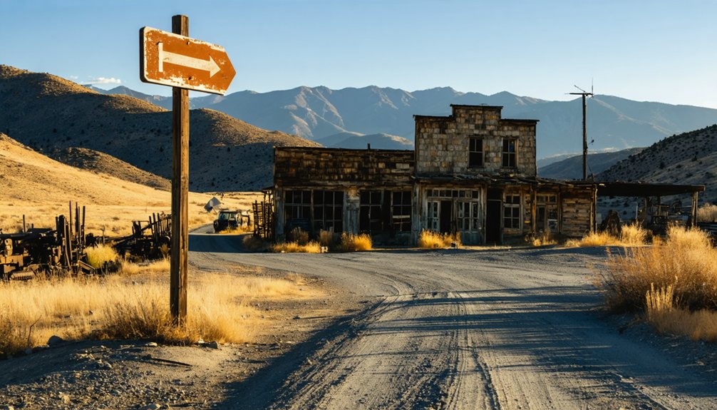
Other Abandoned Settlements in the Santa Cruz Mountains
Beyond the quicksilver operations of New Almaden, the Santa Cruz Mountains conceal dozens of forgotten settlements where railroad workers, loggers, and dreamers once carved temporary homes from redwood slopes.
Wrights Station—the largest camp along the railroad—showcases Chinese immigrant labor impacts through its rebuilt tunnel entrance, a concrete monument to those who blasted through mountain stone.
Glenwood thrived from 1880 to 1954 with its mill and winery before winter storms destroyed the rail line.
Holy City’s religious cult community legacy still whispers along the abandoned highway where Riker built his 1919 commune.
Highway 17’s construction in 1940 sealed the fate of Patchen and Laurel, leaving only crumbling foundations where you’ll find freedom in exploring history’s scattered remnants.
Photography Tips for Capturing Submerged Structures
Submerged structures demand a different photographic approach than surface ruins—your camera must contend with light absorption, backscatter, and the constant dance of particles suspended in reservoir water. You’ll need proper camera calibration before diving, white-balancing at depth to restore colors the water steals.
Position external strobes 30-40 degrees from your housing to minimize that milky scatter effect. Get within twelve inches of Alma’s foundations—distance magnifies distortion through water.
Essential underwater photography techniques:
- Shoot in manual mode with 1/200sec shutter speed and f/10 aperture for sharp structural details
- Overlap images by one-third for creating extensive 3D models later
- Use continuous burst mode to capture sequences as sediment swirls
- Check focus sharpness at 100% magnification before surfacing—there’s no second chance
Planning Your Complete Ghost Town Itinerary
While most travelers sketch out linear routes, your ghost town adventure demands a strategic spiral—starting from Shasta State Historic Park’s brick ruins in the north, you’ll trace California’s mining pulse through 770 miles of boom-and-bust history before reaching Calico’s silver-scarred mountains near the Mojave.
As you navigate these historic routes, you’ll uncover numerous ghost towns to explore in California, each with its own unique story and remnants of the past. From the haunting facades of buildings to the echoes of those who once lived there, each site invites you to delve deeper into the lore of the Wild West. Make sure to pack your camera; the desolate beauty of these towns captures both the imagination and the essence of California’s rugged history.
Allocate 3-6 days to explore abandoned mine shafts at Bodie’s preserved 1859 camp, Malakoff Diggins’ hydraulic scars, and Randsburg’s operational-yet-haunted storefronts. The historical geological significance of each stop reveals itself through weathered structures: Ballarat’s desert-bleached cabins, Empire Mine’s industrial remnants, and Route 66’s crumbling pavement near Barstow.
Plot your course using digital overlays marking Silver City and Amboy, but leave flexibility for detours. Remote sites like Eagle Mountain require seasonal road checks, while state parks offer predictable access to California’s untamed mining legacy.
Frequently Asked Questions
Are There Any Safety Concerns When Viewing the Exposed Ruins at Low Water?
Yes, you’ll face potential hazards exploring Alma’s exposed ruins. Navigate uneven terrain carefully where structures crumble beneath reservoir waters. Watch for unstable foundations, hidden debris, and slippery surfaces. Your freedom demands vigilance—one misstep could strand you in this remote, isolated location.
Can You Access the Lakebed to Explore Foundations up Close During Droughts?
Yes, you can walk the exposed lakebed during severe droughts when water levels drop dramatically. However, accessibility concerns include unstable mud, debris, steep terrain, and potential restrictions from water district authorities monitoring the vulnerable area.
Were Any Buildings Relocated Before Alma Was Flooded by the Reservoir?
While time couldn’t save Alma’s doomed heart, historical relocation efforts rescued some treasures—Alma College moved to Berkeley in 1969. Most abandoned structures preservation failed though; buildings drowned or crumbled, leaving you only ghostly foundations.
What Happened to Alma’s Residents When They Were Forced to Evacuate?
Former residents’ relocations weren’t documented, leaving their fates unknown. You can only imagine the psychological impact on evacuees—families watching their homes vanish beneath rising waters, abandoning memories and livelihoods for an uncertain future elsewhere.
Do Any Descendants of Former Alma Residents Still Visit the Reservoir Site?
While scattered like leaves to the wind, some descendants maintain historic family connections through local preservation efforts, though you’ll find limited documentation of regular visits to where Alma once thrived beneath Lexington Reservoir’s waters.
References
- https://www.mommytravels.net/ghost-towns-of-the-santa-cruz-mountains-of-california/
- https://www.openspace.org/sites/default/files/AlmaCollegeHistoricResourceStudy_0.pdf
- https://historysanjose.org/history-of-new-almaden/
- https://www.youtube.com/watch?v=YrrzW-szYXk
- https://www.ghosttowns.com/states/ca/lexingtonandalma.html
- https://santacruzlife.com/santa-cruz-ghost-towns/
- https://patchencalifornia.com/history/
- https://pclha.cvlcollections.org/exhibits/show/towns-and-settlements/mining-camps/early-camps
- https://www.planetizen.com/node/36453
- https://www.hmdb.org/m.asp?m=54121


