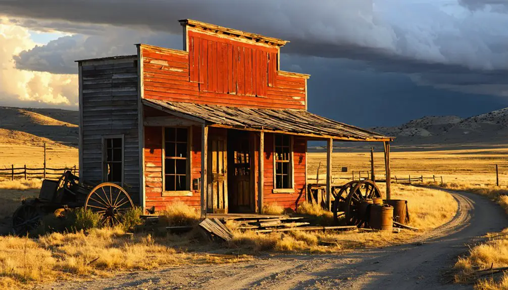
You’ll find Wyoming’s wildest ghost town 11 miles east of Rawlins, where 3,000 fortune-seekers once packed 25 saloons into a three-month frenzy before water ran out. Take I-80 to Sinclair, then follow County Route 347 toward Union Pacific milepost 672.1—bring a high-clearance vehicle, offline maps, and plenty of water for the rough 8-mile final stretch. Mid-summer offers perfect exploring weather, though you’ll discover scattered foundations, cemetery markers, and complete isolation across this wind-scoured alkali flat that once rivaled Sodom itself.
Key Takeaways
- Drive 11 miles east from Rawlins on I-80, exit near Sinclair, then follow County Route 347 to Union Pacific milepost 672.1.
- Bring a high-clearance vehicle for the final 8-mile stretch and download offline maps as cell coverage disappears past Sinclair.
- Visit mid-summer for ideal conditions with temperatures in the upper 70s and cloudless skies for photography.
- Pack layered clothing, sturdy boots, ample water, and sun protection for 40-degree temperature swings and harsh desert conditions.
- Explore cemetery graves, foundation traces, and scattered artifacts from the violent 1868 “Hell on Wheels” settlement in complete isolation.
The Rise and Fall of Wyoming’s First Ghost Town
In July 1868, a ramshackle city of 3,000 souls materialized almost overnight at milepost 672.1 along the Union Pacific tracks, eleven miles east of present-day Rawlins. You’d have found yourself in Benton, named after Missouri’s western expansion champion Thomas Hart Benton—a “Hell on Wheels” settlement where whiskey cost less than water and sordid tales of vice unfolded in twenty-five saloons and five dance halls.
This transportation hub launched stagecoaches toward Utah, Montana, and Idaho while harboring gamblers, outlaws, and prostitutes. Daily murders plagued the shanty-tent town visitors dubbed a “modern Sodom and Gomorrah.” The impacts on native populations went largely unrecorded as railroad workers and Mormon pioneers focused on westward movement. By September, water shortages forced residents to abandon Wyoming’s first ghost town, following the advancing tracks toward Rawlins.
What to Expect When Visiting the Benton Site Today
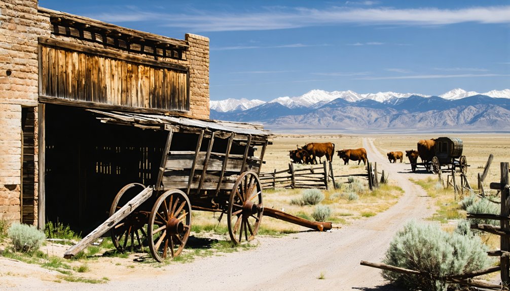
When you arrive at the Benton site today, you’ll find yourself standing on windswept alkali flats where sagebrush has reclaimed what was once Wyoming’s most notorious boomtown. The natural terrain remnants tell a stark story—just scattered foundations and dusty ground mark where 3,000 souls once lived fast and died young.
Here’s what you’ll discover:
- Union Pacific milepost marking the exact rail location
- Cemetery graves from the settlement’s violent heyday
- Foundation traces where saloons and brothels stood
- Ruins and artifacts scattered across barren grounds
- Complete isolation—no facilities, shelter, or crowds
Eleven miles east of Rawlins, this forgotten site offers pure exploration without modern intrusions. Bring water, sturdy boots, and your imagination to resurrect this ghost town’s wild past from its sparse physical evidence.
Getting There: Directions and Access Routes
You’ll start your journey from Rawlins, heading 11 miles east on I-80 before taking the exit near Sinclair and following County Route 347 toward Union Pacific milepost 672.1.
The Red Desert stretches endlessly on both sides, its rust-colored flats broken only by sagebrush and the silver thread of railroad tracks that once carried thousands to Benton’s wild streets.
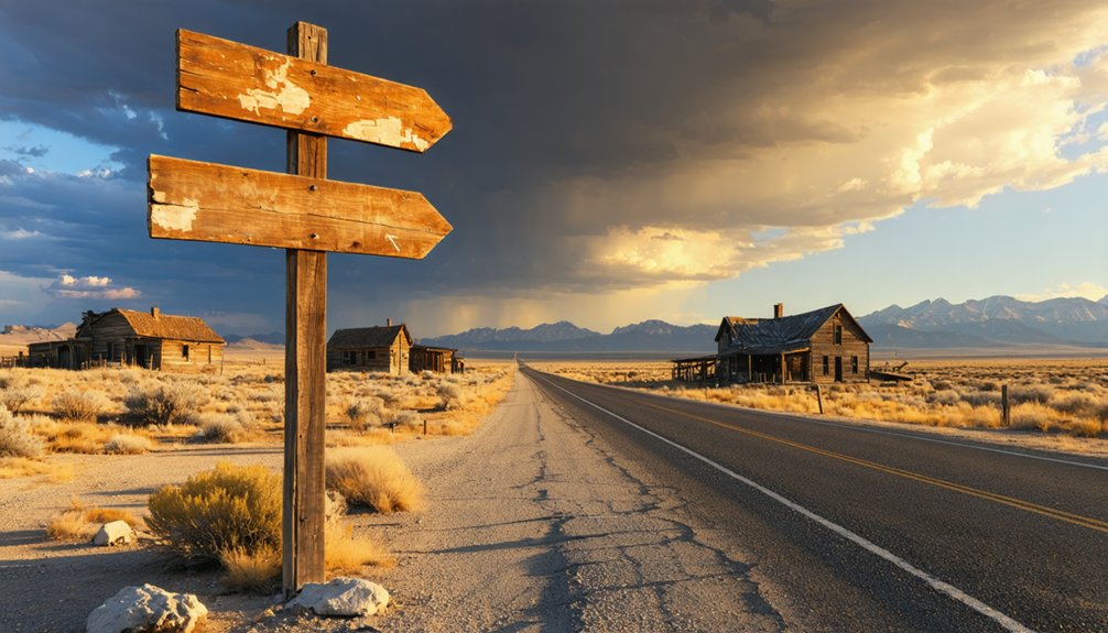
Watch for the historical marker on your right when traveling west—it’s your confirmation that you’ve found where Wyoming’s most notorious ghost town once stood.
Route From Rawlins
The high desert plateau stretches endlessly as you depart Rawlins heading northwest, where Interstate 80 gives way to a network of gravel roads that seem to disappear into sagebrush and sky. Your route planning begins at exit 221, following County Road 401 north through terrain that’s barely changed since Benton’s heyday.
Essential waypoints for your journey:
- Fuel up at Flying J on Johnson Road—next services 34+ miles
- Follow CR-401 northwest from I-80 for approximately 28 miles
- Watch for faded Bureau of Land Management markers
- High-clearance vehicle recommended for final 8-mile stretch
- Download offline maps—cell coverage vanishes past Sinclair
Driving time considerations matter here: budget 90 minutes minimum from Rawlins, accounting for washboard roads and occasional livestock crossings that’ll test your suspension and patience.
Traversing to Benton’s ghost site demands orienteering skills your GPS won’t provide. You’ll navigate by Union Pacific milepost 672.1, tracking eastward from Rawlins across unforgiving terrain where the desert ecosystem reclaims everything. I’ve watched sage-scented wind erase tire tracks within hours here—bring topographic maps and mark your route carefully.
The eastern Red Desert stretches vast and exposed, its wildlife habitats sheltering pronghorn and rattlesnakes equally. You’ll cross fragile high-desert scrubland where Benton’s 3,000 shanty-dwellers once raised hell for three months in 1868.
Now? Nothing but wind-sculpted emptiness near the North Platte River’s distant ribbon.
High-clearance vehicles aren’t optional—they’re survival. Respect private boundaries near Sinclair, carry extra water, and remember: Wyoming’s first ghost town rewards those who embrace genuine solitude.
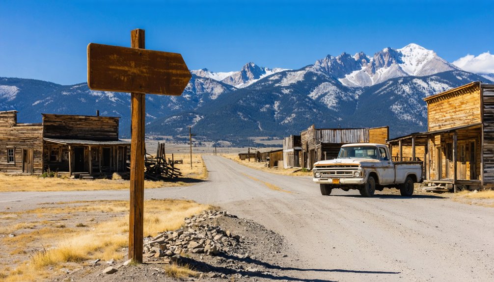
From the abandoned buildings to the remnants of the past, there are countless ghost towns to explore in Wyoming waiting to captivate intrepid adventurers. Each location offers a unique glimpse into the state’s storied history, making it a perfect destination for those seeking adventure and the thrill of discovery. As you traverse this rugged terrain, be prepared to encounter not only the remnants of human habitation but also the breathtaking landscapes that surround them.
Historical Landmark Markers
Finding Benton’s historical marker proves easier than locating the ghost town itself—look for County Route 347 near Sinclair, where Wyoming’s Recreation Commission planted a weathered sign at coordinates 41° 46.703′ N, 106° 56.872′ W. This commemorative plaque stands on Interstate 80’s westbound side, telling tales of “Wild Times In Benton!” through faded text.
The marker’s historical significance captures three violent months:
- 3,000 residents packed into a desert hellscape
- 25 saloons dispensing whiskey at 25 cents per glass
- Streets choked with ankle-deep alkali dust
- Over 100 gunfight deaths between July-September 1868
- Comparisons to biblical Sodom and Gomorrah
You’ll spot the sign 11 miles east of Rawlins at Union Pacific milepost 672.1, though the actual cemetery and ruins sit on private property—forbidden territory for wanderers seeking tangible remnants.
The Wild West at Its Wildest: Saloons, Violence, and Lawlessness
When Benton sprang to life in 1868 as the Union Pacific’s latest end-of-tracks camp, it earned its “Hell on Wheels” reputation within days. You’d have found 3,000 souls crammed into a lawless atmosphere where 25 saloons served whiskey cheaper than water. The massive Big Tent—100 feet long—housed gambling tables, a bar, and a brothel complete with its own physician.
This frontier vice operated without shame. Murder became breakfast conversation, with locals greeting each other, “Have we a man for breakfast?” Over 100 deaths from gunfights plagued the camp’s brief existence. Bandits roamed freely, prostitutes worked openly, and a $100,000 stagecoach robbery barely raised eyebrows. Biblical comparisons to Sodom and Gomorrah weren’t exaggerations—they were accurate descriptions of America’s wildest settlement.
Notable Historical Figures Who Passed Through Benton
Despite its brief three-month existence, Benton attracted an unlikely parade of distinguished visitors who witnessed frontier chaos at its absolute peak. Grant’s encounter with wild frontier came during his 1868 state travels, when the future president rode through streets where over 100 men died that summer among 25 saloons and five dance halls.
You’ll find literary portrayals of Benton’s vices immortalized in Zane Grey’s *The U.P. Trail*, capturing the settlement’s insane atmosphere:
- Future President Ulysses S. Grant witnessed 3,000 railroad workers amid rampant violence
- Perry L. Smith’s family disembarked here, returning annually for forty years
- Zane Grey documented “furious mobs” and blood flowing in packed saloons
- Thomas Hart Benton’s expansionist legacy named this doomed settlement
- Benjamin Bonneville’s earlier explorations paved routes through Wyoming’s wilderness
Why Benton Disappeared While Rawlins Thrived

You’ll notice the starkest difference between Benton and Rawlins the moment you learn about water—Benton sat three miles from the North Platte with undrinkable local sources, forcing the railroad to haul every drop while whiskey sold for pennies and horses refused to drink.
Rawlins, by contrast, boasted a massive natural spring at its western edge that could water locomotives indefinitely, making the choice obvious when the Union Pacific needed a permanent terminal. The railroad simply followed the water west, and Benton’s tents came down as quickly as they’d gone up that summer of 1868.
Water Source Critical Difference
The story of Benton’s swift demise begins with its fatal flaw: the town sat on an alkali flat two to three miles west of Fort Steele, where fresh water was nearly impossible to find. You’ll understand why 3,000 residents abandoned their shanty tents within three months when you consider these survival essentials:
- Scarce water resources made daily living impossible on alkaline terrain
- Limited water infrastructure meant no canals, reservoirs, or delivery systems
- Poor water quality from alkali contamination caused health issues
- No legal framework existed yet for permanent water appropriation
- Distance from North Platte River prevented reliable access
Meanwhile, Rawlins thrived with its proximity to the river crossing at Fort Steele. That geographical advantage transformed it from temporary railroad camp into Wyoming’s enduring hub—proof that water access determined which frontier towns survived.
Railroad’s Temporary Track Terminus
Within ninety days of its founding, Benton vanished from Wyoming’s high desert plains—a fate sealed not by violence or water scarcity alone, but by the relentless westward march of Union Pacific’s construction crews.
You’ll understand Benton’s demise when you grasp temporary railhead conditions that defined these boom-and-bust camps. When tracks reached Benton in July 1868, 3,000 fortune-seekers erected tents, saloons, and dance halls overnight.
But railroad construction progress waited for no one. By September, crews pushed eleven miles west to Rawlins, where permanent water sources justified a lasting station.
The tracks became Benton’s lifeblood and executioner. You’re standing where America’s most transient ghost town thrived for precisely three months—July through October 1868—before its entire population followed the rails westward, leaving only sagebrush behind.
Best Time to Visit and What to Bring
Mid-summer transforms Benton into an explorer’s paradise, when temperatures climb into the upper 70s and crystalline skies stretch endlessly over the Red Desert’s rust-colored expanse. You’ll discover the best photography spots during these clear months—volcanic chasms and weathered railroad remnants demand ideal camera gear that captures stark contrasts.
Pack strategically for this unforgiving landscape:
- Layered clothing for 40-degree temperature swings between dawn and afternoon
- Windproof jacket to combat relentless gusts reaching 23 mph
- Sturdy boots for traversing rocky terrain and sandy plains
- Ample water supply in this arid environment where hydration isn’t optional
- Sun protection including hat and sunscreen under intense, cloudless skies
Avoid winter’s three-month freeze when snow blankets access roads and winds howl across the abandoned settlement, obscuring the very desolation you’ve come to witness.
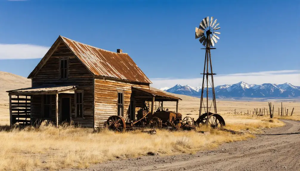
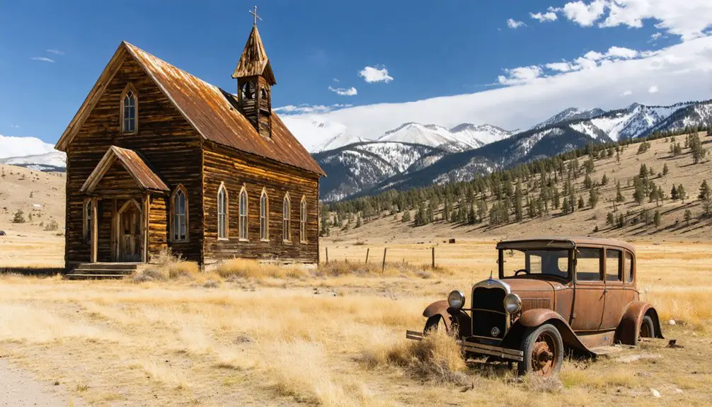
Nearby Attractions and Historical Sites in Carbon County
Beyond Benton’s windswept ruins, Carbon County unfolds like a living museum where Wyoming’s roughest chapters still echo through stone corridors and weathered timber frames.
Carbon County stands as Wyoming’s unpolished memorial, where outlaw legends and frontier hardships refuse to fade from crumbling walls and aging wood.
You’ll discover Carbon County cultural heritage at Rawlins’ Wyoming Frontier Prison, where outlaws paced cell blocks from 1901 until the new state facility opened. Walk through the gas chamber if you’re brave enough.
The Carbon County Museum downtown preserves 30,000 artifacts, including Big Nose George’s grisly story. Head to Encampment’s sprawling complex of historical buildings showcasing timber and mining life, or explore Hanna Basin Museum’s coal camp exhibits honoring miners who never made it home.
Each stop reveals historical museum collections that’ll remind you why the West stayed wild.
Frequently Asked Questions
Can I Camp Overnight at the Benton Ghost Town Site?
Benton’s a blank canvas for adventurers, but you’ll need to verify land ownership first. Primitive camping allowed on some public lands nearby requires checking jurisdictions. Consider nearby lodging options in Rawlins as your backup plan for true freedom.
Are There Any Guided Tours Available for Benton?
No guided tours by local historians or organized walking tours of the town site exist at Benton. You’ll explore independently, following dusty trails where wagons once rolled, discovering remnants at your own pace without schedules constraining your adventure.
Is the Cemetery From 1868 Still Visible Today?
Yes, you’ll find remnants of the 1868 cemetery with approximately 100 unmarked graves still scattered across the windswept terrain. However, don’t expect preserved headstones—time and Wyoming’s harsh elements have claimed most physical markers from this violent frontier era.
What Photography Equipment Works Best in the Red Desert Conditions?
You’ll want UV filters protecting your glass from nature’s exfoliation treatment, plus polarizers cutting glare. For camera stabilization techniques in extreme weather photography, pack rocket blowers, space blankets, and ziplock bags—your gear’s best friends against relentless dust and heat.
Are There Any Commemorative Markers or Plaques at the Site?
You’ll find the “Wild Times In Benton!” historical marker near Sinclair, highlighting the town’s violent past and historical significance. Unfortunately, preservation efforts remain minimal—the overgrown cemetery sits on private property with no additional plaques commemorating this notorious ghost town.