You’ll find Burgess Railroad Station‘s remnants at coordinates 38.2866944°N, -82.582225°W in Boyd County’s creek bottomlands, where foundation stones and rusted fragments mark what coal-industry shifts left behind. Plan your visit for September-October’s dry conditions, pack offline maps since cell service falters here, and stay 25 feet from any tracks—federal regulations protect even abandoned routes. The site rewards patient observers who can read landscapes through grade changes and scattered coal chunks, while nearby historic cemeteries complete your Appalachian ghost town experience.
Key Takeaways
- Located at coordinates 38.2866944°N, -82.582225°W in Boyd County, Kentucky, approximately 2 miles from Prichard, West Virginia.
- Visit during fall (September-October) for driest conditions or spring for wildflowers, though trails become muddy.
- Little remains except foundation stones, rusted fragments, and vegetation; observe grade changes and tree lines for historical clues.
- Maintain 25 feet from tracks, use designated crossings only, and understand railroad property boundaries to avoid legal penalties.
- Combine visit with nearby ghost towns on Kentucky’s 500-mile haunted loop from Louisville for comprehensive exploration.
Historical Background of Burgess Railroad Station
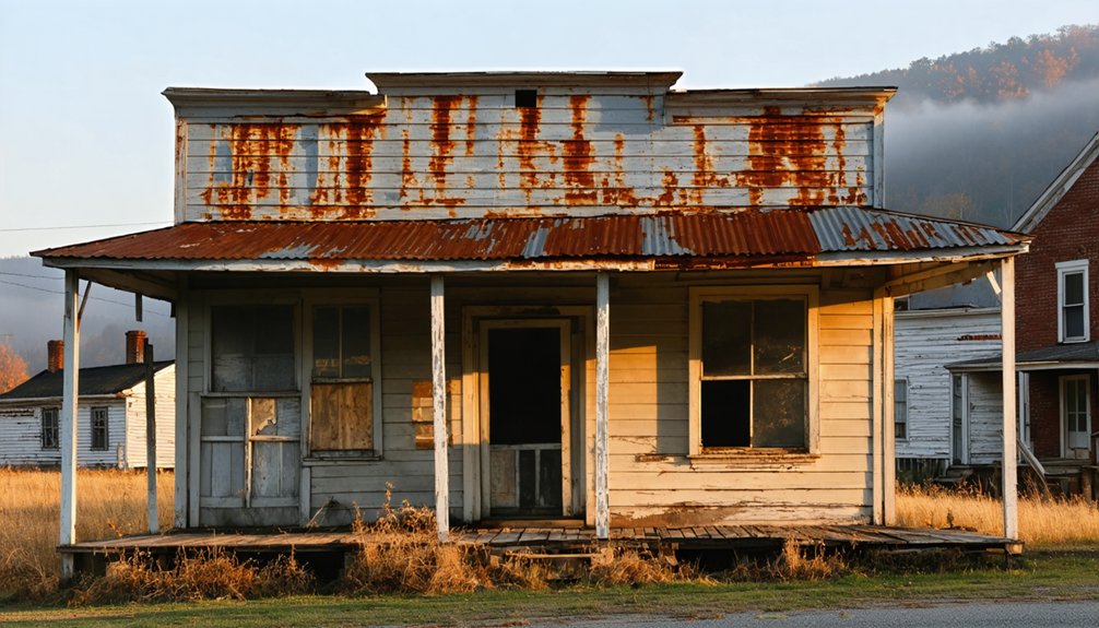
Nestled in the rolling hills of Boyd County, Kentucky, Burgess Railroad Station sits abandoned—a weathered remnant of the region’s once-thriving rail era. You’ll find this historical locale marked on USGS topographic maps, a memorial to when railroad operations connected remote Appalachian communities to broader networks. The station served as an indispensable link in the region’s railroad infrastructure, facilitating commerce and travel through Kentucky’s eastern frontier.
Today, it’s classified among the state’s ghost towns, offering you a glimpse into America’s industrial past without modern restrictions or crowds. Located just two miles from Prichard, West Virginia, the site beckons those seeking authentic exploration. The surrounding landscape—dotted with historic cemeteries and Gragston Creek—provides context for understanding how railroad infrastructure shaped these isolated communities’ development and eventual decline.
Why This Kentucky Railroad Town Was Abandoned
You’ll find Burgess’s fate mirrors countless railroad towns across Appalachia—twin forces of progress that became instruments of abandonment. When new highways carved through Kentucky’s hills in the mid-20th century, they bypassed these rail-dependent communities, pulling commerce away like water draining from a basin.
The coal mines that had breathed life into Burgess since its founding simply ran dry, and without black diamonds to load onto freight cars, both the trains and the people stopped coming.
Railroad Decline and Highways
After World War II ended, the steel rails that once promised prosperity to towns like Burgess began carrying less and less traffic. You’ll notice post war economic shifts transformed freight transportation trends across Kentucky—trucks rolled freely down newly paved highways while trains idled on rusting sidings.
The coal drags still rumbled through in the 1990s, but by then, entire sections had vanished. Between Georgetown and Paris, rails disappeared in 1967. By 1971, more track came up for scrap.
You could suddenly drive anywhere without consulting railroad timetables. That freedom came at a cost to places like Burgess. The Depression had already wounded these lines, and peacetime brought no revival. When the Interstate Commerce Commission streamlined abandonment procedures in the 1970s, Kentucky’s railroad towns faced their final sunset.
Coal Industry Collapse
The coal seams that fed Burgess’s reason for existence couldn’t compete with Wyoming’s vast Powder River Basin, where draglines scooped low-sulfur coal from deposits you could practically harvest with a shovel. By 1988, Wyoming had already stolen Kentucky’s crown as America’s top producer.
Eastern Kentucky’s production cratered 87% since its 1990 peak of 131 million tons, while environmental policies demanding cleaner-burning fuel accelerated the shift westward. You’ll find infrastructure challenges everywhere—abandoned tipples rusting beside overgrown rail spurs, unstable highwalls where reclamation bonds fell billions short of actual costs.
Employment collapsed from 75,707 miners in 1949 to just a fraction today. The mechanization that boosted productivity couldn’t save communities like Burgess when the economic foundation simply vanished beneath their feet.
Exact Location and How to Get There

Nestled along the Kentucky-West Virginia border in Boyd County, Burgess Railroad Station sits at coordinates 38.2866944°N, -82.582225°W, approximately 538 feet above sea level in the lowland creek valleys near Gragston Creek. You’ll find this forgotten waypoint roughly two miles from Prichard, West Virginia, accessible via routes shown on the Burnaugh USGS topographic quadrant.
The precise GPS coordinates will guide your navigation system through winding backroads where pavement surrenders to gravel. Elevation data for site confirms you’re descending into creek bottomlands, 243 feet below the nearest weather station at Huntington Tri-State Airport, seven miles distant.
Historic cemeteries—Hall, Black, and Thacker—mark your approach within a mile radius. Download the Burnaugh quad map beforehand; cell service here remains unpredictable at best.
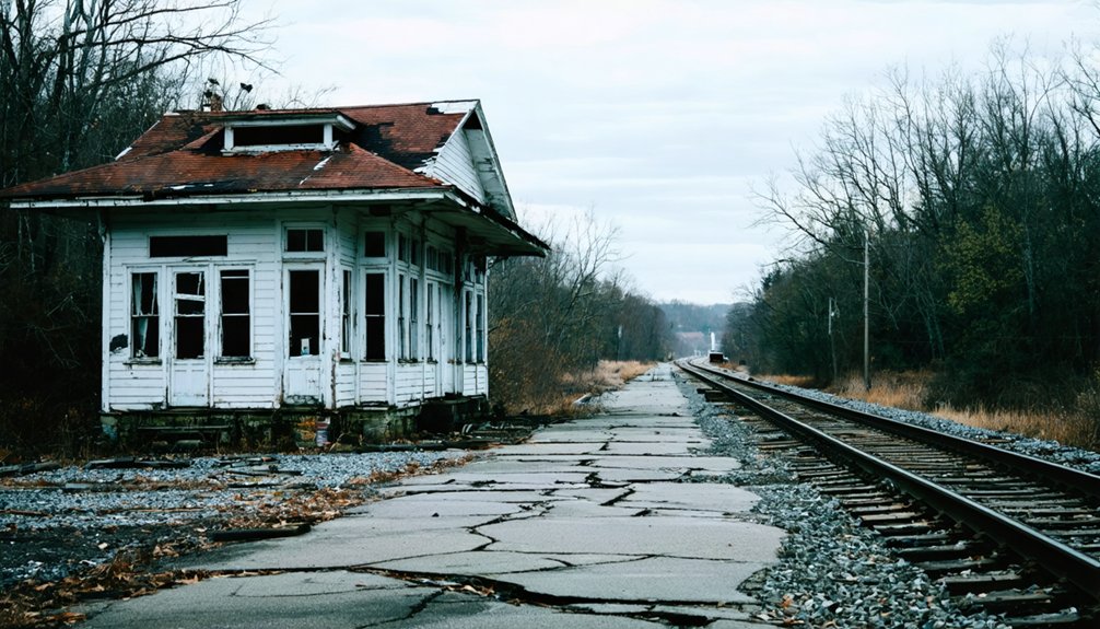
What Remains at the Site Today
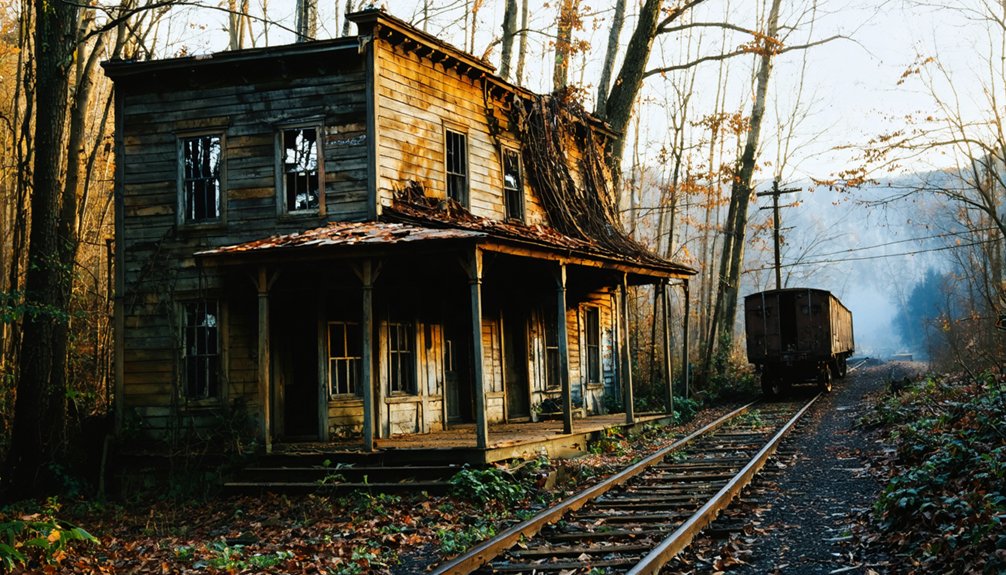
Virtually nothing stands at Burgess Railroad Station anymore—time and nature have consumed what coal trains once served. You’ll find scattered foundation stones where the depot once welcomed travelers, now buried beneath Kentucky’s relentless kudzu and hardwood saplings. Structural deterioration has claimed whatever buildings survived the station’s abandonment—rotted timbers, rusted iron fragments, and crumbling brick are your only clues to civilization’s former presence here.
The vegetation characteristics tell their own story: decades-old trees pierce through what were likely platform areas, while seasonal undergrowth obscures the railroad bed’s faint outline. Bring a keen eye for subtle details—grade changes in terrain, unnaturally straight tree lines marking old track routes, and scattered coal chunks mixed with forest duff. This site rewards patient observers willing to read landscape as history.
Nearby Cemeteries and Historic Landmarks

Beyond the vanished depot, four small cemeteries cluster within a mile of Burgess Railroad Station—silent witnesses to the families who once depended on these coal train routes. Hall Cemetery sits closest at half a mile, followed by Black and Thacker at 0.8 miles, with Newman rounding out the circuit at 0.9 miles. You’ll find no organized preservation efforts here—just weathered stones emerging from Kentucky hillsides, perfect for impromptu walking tours through forgotten history.
Expand your exploration to nearby towns: Prichard, West Virginia lies just two miles away, while Lavalette and Wayne sit eight miles out. Ceredo and Kenova, both nine miles distant, offer additional layers to your ghost town journey. Each cemetery and landmark reveals fragments of the coal-hauling era that once thrived here.
As you venture further into your adventure, consider exploring ghost towns near Chesapeake, Indiana. These forgotten places hold stories of a bygone era, showcasing the remnants of communities that once flourished. Each visit provides a unique glimpse into the past, with decaying structures and overgrown landscapes telling tales of resilience and change.
Best Time to Visit Based on Weather Patterns
Timing your visit to Burgess Railroad Station hinges on whether you’d rather dodge raindrops or biting winds while wandering those forgotten cemeteries. Fall’s your best bet—September through October brings the driest conditions at under 3 inches monthly, with comfortable highs dropping from 77°F to mid-50s.
These seasonal variations in precipitation make exploring overgrown railroad ruins infinitely more manageable than May’s 4.41-inch downpours or July’s humid 85°F swelter.
Spring offers wildflower-draped landscapes but you’ll battle muddy trails as temperatures climb from 56°F to 74°F. Winter’s mild by most standards—lows rarely dip below 28°F—though frozen ground makes photographing weathered headstones easier. Temperature changes through the year remain moderate, so you’re never facing extreme conditions. Just pack layers and embrace whatever Mother Nature throws your way.
Connecting Your Trip to Other Kentucky Ghost Towns

McCreary County’s ghost town cluster turns Burgess into the perfect launching pad for a multi-site exploration you won’t find mapped on any tourist brochure. Within fifteen miles, you’ll discover Barthell’s restored company houses near Stearns and Blue Heron’s haunting steel structures—Mine 18’s abandoned 1937 coal operation sitting in Big South Fork’s wilderness. Local ghost town connectivity here rivals anywhere in Kentucky.
You can extend your journey through regional ghost town linkages that span the state. Head west toward Creelsboro on the Cumberland River bend, then north to Rocky Hill’s 1857 railroad depot ruins. The ambitious 500-mile haunted loop from Louisville covers ten locations over nine hours, but you’ll craft something more authentic by choosing your own path through these forgotten places where coal, railroads, and time intersect.
Essential Tips for Exploring Abandoned Railroad Sites
Your ghost town adventures demand a clear understanding of railroad property boundaries before you set foot near any tracks. Unauthorized exploration risks serious legal penalties—trespassing on rail property isn’t just frowned upon, it’s illegal. I’ve watched trains approach silently at 55 mph, needing over a mile to stop, while overhanging tracks by three feet on each side.
Proper safety precautions start with maintaining 25 feet from active or abandoned tracks. Never walk between stopped rail cars or assume any line is truly defunct. Federal regulations protect even abandoned routes, and removing ballast rocks destabilizes entire sections, risking derailments.
Stay alert without headphones, use only designated crossings, and inspect your path for debris. Keep firefighting equipment accessible when exploring nearby structures—your freedom depends on respecting these boundaries.
Frequently Asked Questions
Are There Any Amenities or Services Available Near Burgess Railroad Station?
You won’t find much near this remote ghost town—basic lodging options and local dining opportunities are scarce. You’ll need to pack supplies and embrace the isolation. It’s raw, untamed territory where you’re truly on your own.
Is Permission Required to Access the Burgess Railroad Station Site?
You’ll need to respect private property access and trespassing laws before exploring. Research current ownership, seek landowner permission if required, and watch for posted signs. Always tread carefully—freedom comes with responsibility to honor boundaries.
What Photography Equipment Works Best for Capturing Abandoned Railroad Sites?
“A picture’s worth a thousand words”—you’ll want sturdy tripods for long exposures, wide-angle lenses capturing atmospheric decay, and manual camera settings for light control. Drone photography reveals haunting overhead perspectives of forgotten rails stretching toward vanished horizons.
Can I Camp Overnight Near Burgess Railroad Station in Boyd County?
You won’t find remote camping availability directly at Burgess Railroad Station, but nearby overnight accommodations include Oasis Point RV Resort twenty-five miles away and Wranglers Campground, offering you freedom to explore this abandoned site during daylight hours.
Are Guided Tours Available for Burgess Railroad Station or Nearby Ghost Towns?
Guided tours aren’t available, but you’ll discover freedom exploring self-guided tours at your own pace. Historical markers dot the landscape, revealing Burgess’s past. I’ve found wandering these forgotten railroad remnants offers unexpected adventures and authentic connections to history.