Your Chetolah ghost town adventure starts 15-20 miles west of Hays, Kansas, at coordinates 38.8514°N, -99.3126°W. You’ll need a high-clearance vehicle to navigate remote county roads along the Smoky Hill River corridor, using Chetolah Gold Road as your final landmark. Though no structures remain from this 1886 railroad boomtown turned fool’s-gold rush site, you’ll discover windswept prairie where ambitious settlers once chased vanishing dreams. The complete story of railroad schemes, mining hoaxes, and abandoned hopes awaits beneath these endless Kansas skies.
Key Takeaways
- Located 15-20 miles west of Hays at coordinates 38.8514°N, -99.3126°W, accessible via Smoky Hill River corridor and county roads.
- Bring a high-clearance vehicle for remote, unpaved roads leading to the site along Chetolah Gold Road.
- No structures remain visible; the 1886 railroad town site has reverted completely to natural prairie landscape.
- Founded by Thomas Fulgum in 1886, abandoned after railroad failure and 1893 gold rush hoax exposure.
- Expect scenic rolling grasslands and limestone formations rather than physical ghost town remnants or buildings.
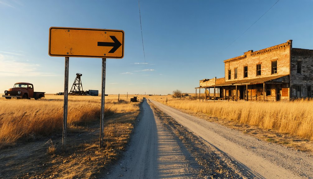
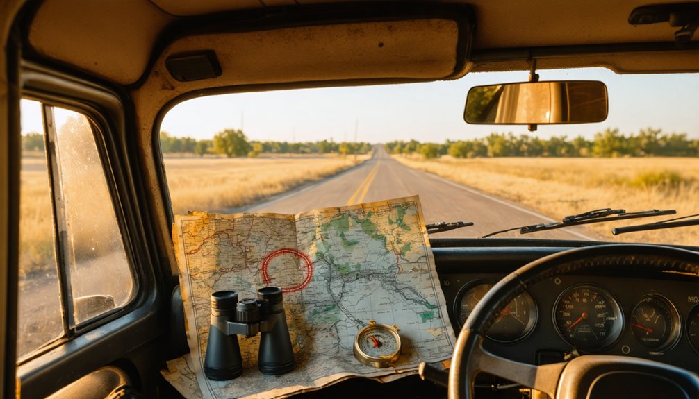
As you trace your route westward from Hays along the Smoky Hill River corridor, the modern highway gives way to county roads that slice through northwest Kansas’s endless prairie expanse. You’ll find the ghost town site approximately 15-20 miles west at coordinates 38.8514°N, -99.3126°W—just plug these into your GPS or search “3000 Sternberg Drive, Hays, KS” on Google Earth and scroll west toward the Dr. Howard Reynolds Nature Trails.
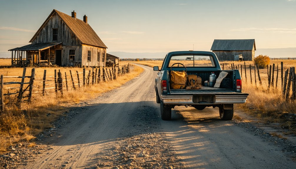
Watch for Chetolah Gold Road, your landmark for the final approach. These remote roads demand a high-clearance vehicle, but they reward you with scenic vistas of rolling grasslands and limestone formations. The 30-45 minute journey from Hays liberates you from tourist crowds, delivering you to 22 acres of untamed prairie history.
The Rise and Fall of a Railroad Dream Town
You’ll find Chetolah’s story begins with Thomas Fulgum’s ambitious 1886 gamble—a town carved from Kansas prairie to serve a railroad that existed only on paper. The Omaha, Dodge City & Southwestern never laid a single mile of track through Ellis County, leaving Fulgum’s hotels, stores, and dreams stranded beside the Smoky Hill River.
When prospectors arrived in 1893 chasing rumors of gold in those same river bluffs, they breathed temporary life into an already dying settlement, though this resurrection proved just as fleeting as the railroad promises that started it all.
Thomas Fulgum’s 1886 Vision
When Thomas Fulgum surveyed the windswept prairie along the Smoky Hill River in 1886, he saw something most travelers missed—a future railroad depot that would transform empty grassland into a thriving commercial hub. The Topeka resident’s investor speculation centered on the Omaha, Dodge City & Southwestern Railroad’s planned north-south route through Ellis County. He named his venture Chetolah after the Native American word for the river that would provide indispensable water access.
Fulgum’s railroad development plans went beyond typical speculation. As a horse racing enthusiast, he built a track between two barns, blending personal passion with commercial vision. He orchestrated construction of a 12-room hotel, general store, and grain elevator by 1887. Yet when the Chetolah Land and Town Company collapsed in 1889, Fulgum departed, leaving behind infrastructure without the promised steel rails.
Railroad Promises Never Fulfilled
The Omaha, Dodge City & Southwestern Railroad’s ambitious north-south route through Ellis County sparked a development frenzy that would define Chetolah’s brief existence. You’ll find this was a town built entirely on railroad anticipation—investors chose the location for its prime depot access, perfect geography, and water resources. They erected a 12-room hotel, grain elevator, general store, and even a horse racing track between barns, all before 1888’s incorporation.
Then everything collapsed. The railroad company folded when investors backed out, spooked by Smoky Hill River’s flash flooding history. Without tracks or depot service, economic devastation arrived swiftly. The Chetolah Land and Town Company crumbled in 1889, just months after founding. Population loss was immediate as Thomas Fulgum fled and others abandoned their railroad dreams.
Gold Rush Final Blow
Just as Chetolah’s residents absorbed the crushing loss of their railroad dreams, H.P. Artz delivered a glimmer of hope in 1893—gold in the nearby bluffs. The discovery sparked a three-year rush that transformed the struggling town. Prospectors flooded in, mills sprouted along the Smoky Hill River, and the Kansas Pioneer Gold Shale Company raised $2.5 million. Hotels reopened, bridges connected communities, and promoters’ fraudulent schemes promised riches rivaling the Klondike.
You’d find samples showing 0.05 ounces of gold per ton—barely worth $1.18. State geologist Erasmus Haworth and Thomas Edison exposed the debunkers’ scientific findings: salted samples masked the truth. By 1903, mill operations cost more than any gold extracted. The shafts fell silent, lumber was hauled away, and Chetolah’s last hope evaporated.
The Great Gold Rush Hoax of the 1890s
In 1893, H.P. Artz’s claim of finding gold in the grey Carlile Shale bluffs ignited a three-year frenzy that transformed sleepy Chetolah into a boomtown alongside two new settlements.
You’ll discover how miners swarmed the Smoky Hill River searching for fortune, only to learn from Kansas state geologist Erasmus Haworth and Thomas Edison himself that their glittering finds were merely iron pyrite—fool’s gold.
The hoax’s collapse left three abandoned towns in its wake, their hastily built gold mills dismantled for lumber and their populations scattered.
Discovery That Sparked Mania
When miner H.P. Artz struck what he believed was gold in the grey Carlile Shale near Chetolah in 1893, he ignited a firestorm of speculation. The bluffs along the Smoky Hill River suddenly glittered with promise, and wild prospector tales spread faster than prairie fire. Artz claimed recoverable traces existed throughout the surrounding hills, breathing life into a dying settlement that had languished since the 1880s.
You can imagine the electric atmosphere as forgotten pioneers’ dreams resurrected themselves. Word of shale deposits yielding precious metal drew desperate fortune-seekers from across the region. What started as one man’s discovery mushroomed into full-blown mania within months. Hotels reopened, bridges materialized across the river, and hopeful miners descended upon this isolated Kansas outpost, convinced they’d found their El Dorado.
Edison and Haworth’s Exposure
Not everyone bought into the gleaming promises. Thomas Edison declared the Kansas gold rush a hoax before miners even broke ground, while state geologist Erasmus Haworth wielded scientific evidence against the swindlers.
Haworth’s professional integrity faced its ultimate test when powerful promoters threatened his termination for exposing their fraudulent assay reports. He refused to bend, knowing the Carlile Shale contained nothing but iron pyrite masquerading as treasure.
The geologist’s warnings proved prophetic. Failed mining operations like the Close and Holliday mills limped along for three years, producing barely enough gold to justify their existence. By 1903, the shafts stood silent—monuments to greed and delusion.
Those who’d mortgaged their futures on “secret metallurgical processes” learned an expensive lesson: truth doesn’t negotiate with hope.
Collapse of Mining Towns
Three years of fevered digging and desperate hope crumbled as quickly as the shale banks themselves. You’ll find that the “gold” miners hauled from Chetolah’s grey hills was mostly worthless iron pyrite—fool’s gold that couldn’t cover extraction costs.
While traces of real gold and zinc existed, they yielded no profit for the Close and Holliday mills grinding away beside the Smoky Hill River.
What Remains at the Ghost Town Site Today
Today, very little remains of Chetolah’s settlement—the town site has reverted entirely to natural landscape without a single visible structure standing. You’ll pass by on Chetolah Gold Road, likely unaware you’re crossing a vanished piece of Kansas history. The gold-bearing Carlile Shale formations that sparked the rush now lie concealed beneath prairie grass, their geological secrets hidden from view.
The area exists only as memory, a blue circle on historical maps marking where ambition once flourished.
What’s absent tells the story:
- No hotel or business buildings—all structures vanished or relocated
- No factory foundations or smokestack—industrial remnants completely erased
- No bridge across Smoky Hill River—the gold rush crossing gone
- No cemetery—unlike other ghost towns, even unmarked burial sites are absent
Exploring Nearby Abandoned Settlements
While Chetolah vanished without leaving physical traces, its ghost town neighbors tell a broader story of Ellis County’s boom-and-bust era. You’ll find Smoky Hill City and Gold Mill within the same riverside corridor, their relic prospecting sites marked only by abandoned mining shafts.
Ten miles northwest, Hyacinth’s cemetery stands beside the foundations of St. John Baptist Church—one of the region’s few surviving abandoned churches from that period. The Yocemento area conceals Hog Back Station‘s former railroad stop, while Rome, Mendota, and Turkville scatter across the county as nameless prairie patches.
Each settlement collapsed between 1903 and 1914, leaving you free to explore landscapes where nineteenth-century optimism met the unforgiving Kansas soil. These windswept sites demand imagination over artifacts.
Historic Landmarks and Points of Interest
Chetolah’s landscape layers centuries of human ambition across the same bend in the Smoky Hill River. You’ll discover where Pawnee trails converged with explorer John C. Fremont’s campsites, marking this as strategic territory long before early settlement attempts began in the 1880s. Though the town vanished by 1905, traces remain:
- Pawnee Trail Endpoint – Where indigenous routes met the Smoky Hill River, defining this probable summer gathering place
- Fahrig Mining Company Plats – Multiple claims staking the 1890s gold rush dreams that never materialized
- Golden Springs Beach Site – The 1920s tourist resort that operated 1926-1933, representing final revitalization efforts
- Henry Oshant’s Plot – Location of the Beatty mill, often misidentified on historical maps as a chapel
You’re standing where optimism repeatedly collided with reality.
Best Time to Visit and What to Bring
Two seasons dominate the calendar for visiting Chetolah’s windswept ruins: late spring in May and early fall from September through October. You’ll find comfortable 60-80°F temperatures perfect for exploring prairie remnants without summer’s brutal 100°F+ heat or winter’s sub-zero nights. Pack lightweight fabrics in moisture-wicking layers—daily temperature swings of 30°F demand adaptability.
Prepare for rapid weather changes with waterproof jackets against Ellis County’s sudden thunderstorms.
Your gear list needs sturdy hiking boots for shale terrain, wide-brim hats for exposed UV rays, and high-capacity water bottles. Throw in bug spray for Smoky Hill River mosquitoes and binoculars for distant ruin spotting. Time your visit when gravel roads stay firm—spring rains and winter snows render approach routes impassable, trapping you from freedom’s call.
Frequently Asked Questions
Is It Legal to Explore the Chetolah Ghost Town Site?
You’ll need to verify land ownership before exploring, as Chetolah’s remnants likely sit on privately owned property. Check local municipal regulations and seek permission from landowners—guaranteeing you’re free to explore legally and responsibly.
Are There Any Facilities or Services Available Near Chetolah?
No facilities exist at Chetolah itself—it’s completely abandoned prairie. You’ll find lodging options, dining establishments, gas stations, and supplies in Hays, twenty-five miles northeast. Pack water and snacks before venturing to this remote ghost town.
Can You Camp Overnight at the Chetolah Ghost Town Location?
You can’t camp directly at Chetolah’s ghost town site, but nearby Chetopa offers camping accommodations with fees starting at $10 nightly. You’ll experience the area’s historical significance while enjoying regulated freedom under Kansas’s designated camping permissions.
What Wildlife or Hazards Should Visitors Watch for in the Area?
You’ll encounter venomous snakes like rattlesnakes in southern Kansas, plus coyotes, bobcats, and raccoons that may carry rabies. While wild boar sightings aren’t documented here, watch for uneven terrain, flooding, and remote isolation risks throughout your exploration.
Are Guided Tours Available for Chetolah and Nearby Ghost Towns?
No organized tours exist for Chetolah—you’ll explore independently through self-guided tours. However, nearby Ellinwood offers underground ghost town tours for $15, while Atchison’s Haunted Taxi provides supernatural experiences if you’re craving guided paranormal adventures beyond Chetolah’s ruins.


