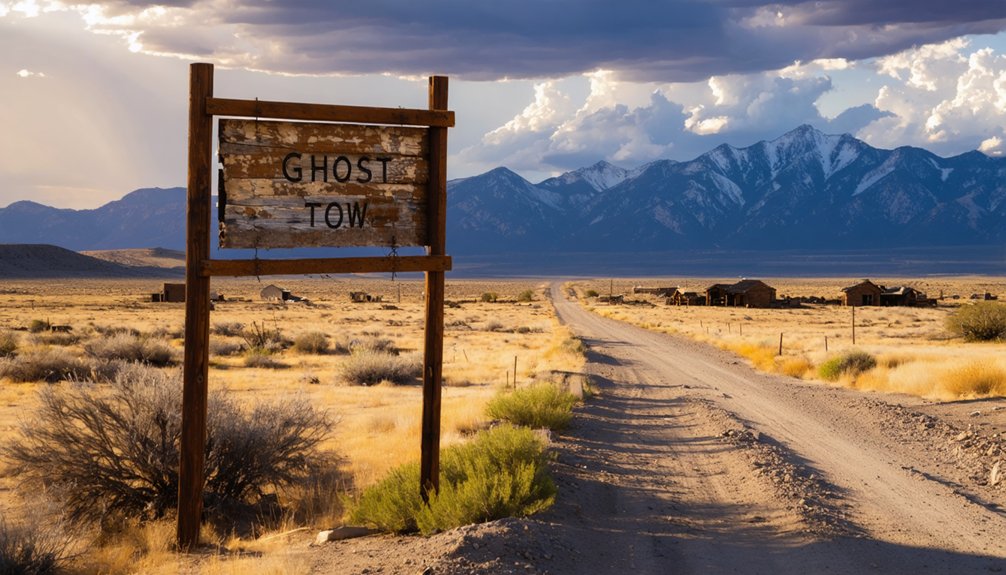
You’ll find Clarkville northwest of Gallup, though W.A. Clark’s 1898 coal town has vanished so completely that only empty terrain marks where 300 miners once lived. Access the site via Grid #1 roads shown on Trail of the Ancients Byway maps, but don’t expect ruins—no structures, artifacts, or markers survived this thoroughly erased settlement. Visit during spring or fall for mild weather, and you can combine this ghost town with nearby Route 66 sites like Glenrio and Newkirk for a full circuit that reveals New Mexico’s forgotten mining history.
Key Takeaways
- Clarkville is located northwest of Gallup in McKinley County, marked as Coal Basin on modern maps.
- Use Trail of the Ancients Byway Map or McKinley County Detailed Plan maps to navigate Grid #1 access roads.
- Visit during spring (April-May) or fall (September-October) for mild weather and optimal high desert exploration conditions.
- No structures, markers, or artifacts remain; the settlement completely vanished after its 1908 post office closure.
- Combine with other Route 66 ghost towns like Glenrio, Montoya, and Newkirk for a 6-8 hour circuit.
Discovering Clarkville’s Coal Mining Heritage
The weathered landscape northwest of Gallup holds the scattered remains of W.A. Clark’s 1898 coal venture, where lignite mining once sustained 400 souls. You’ll find Clarkville’s ghost approximately five miles from modern Gallup, now marked as Coal Basin on contemporary maps.
Clark’s Montana mining fortune built something unusual here—a company town without saloons, where labor conditions included comfortable homes, electric power, and a hospital. The ten-ton electric locomotive that once hauled coal through these operations is long gone, but the site reveals Clark’s paternalistic vision.
Unlike typical mining camps, religious institutions and a library shaped community life. When the coal seam pinched out after 1905, residents scattered. The post office closed by 1908, leaving only foundations and memory.
Finding Your Way to This Remote McKinley County Site
While Clarkville’s ruins sit just five miles northwest of Gallup, finding them requires careful navigation through McKinley County’s high desert terrain. You’ll reach the assumed Coal Basin site via Grid #1 access roads—standard 2WD clearance gets you there without specialized vehicles. From Gallup’s junction of Interstate 40 and US 491, head northwest following regional mapping resources like the Trail of the Ancients Byway Map or McKinley County Detailed Plan maps.
The remote location accessibility improves during spring, fall, and winter when mild conditions make exploration comfortable. Historical 1920 maps show Clarkville’s original position, though today’s landmarks differ considerably. Your smartphone’s GPS won’t always capture unmarked routes, so bring printed maps.
The post office operated from 1898-1908, leaving minimal structural markers in this windswept corner of New Mexico’s coal country.
What Remains of the Once-Thriving Community
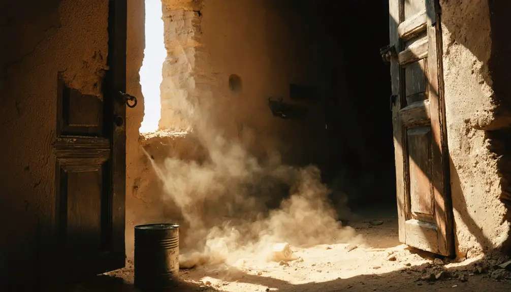
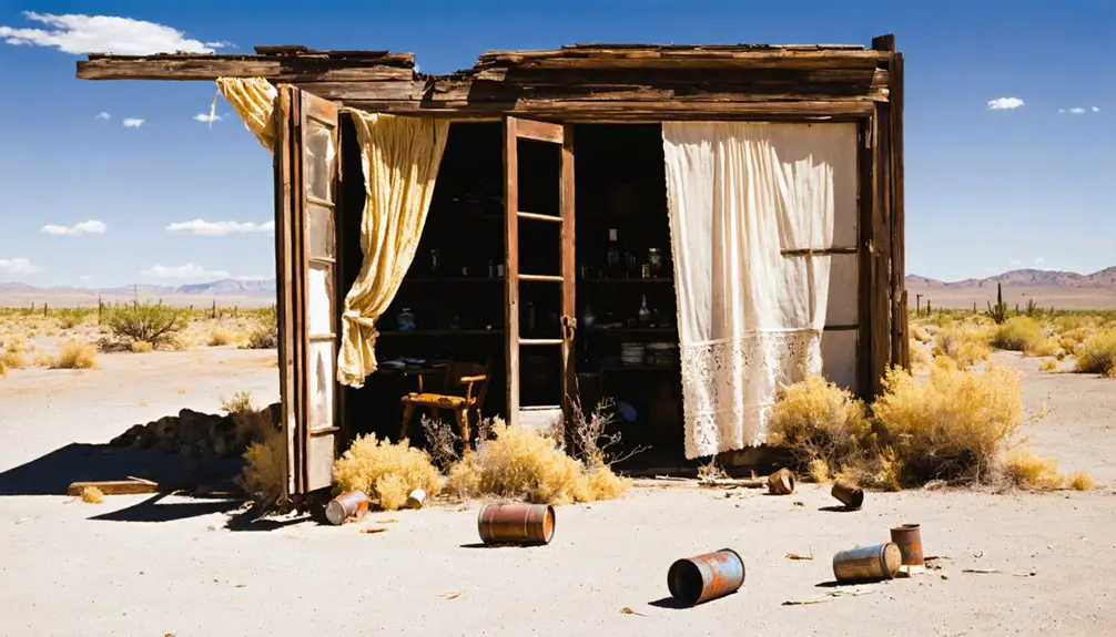
Standing where Clarkville once buzzed with 400 miners and their families, you’ll find nothing but emptiness stretching across the high desert scrubland. This complete vanishing makes Clarkville one of New Mexico’s most thoroughly erased settlements.
Unlike other ghost towns with crumbling walls and rusted equipment, here you’re facing total absence.
What you won’t discover at Coal Basin today:
- Commemorative historical markers identifying the site
- Preserved mining artifacts from the lignite operations
- Any structural remnants of houses, commissary, or hospital
The ten-ton electric locomotive’s gone. That brick commissary’s disappeared. Even foundation stones have surrendered to time and weather. You’re exploring through memory and imagination alone, piecing together a vanished community from historical records rather than physical evidence.
Best Times to Explore New Mexico’s High Desert Ghost Towns
Planning your ghost town expedition requires matching your schedule to New Mexico’s dramatic high desert conditions. You’ll find shoulder season balances ideal weather with solitude—April through May and September through October deliver temperatures in the 50s to 70s, perfect for exploring ruins without summer’s punishing heat or winter’s road closures. Golden autumn light illuminates adobe structures while spring opens Cerrillos Hills trails for uncrowded hikes.
The mild year round climate preserves these weathered sites remarkably well, though summer’s thunderstorms can block remote access and winter snaps occasionally close mountain passages. Your best bet? Target those shoulder months when you’ll drive the Turquoise Trail in comfortable conditions, wander Madrid’s quiet streets, and catch panoramic views of the Sandia and Sangre de Cristo ranges without battling crowds or extreme temperatures.
Building Your Route 66 Ghost Town Adventure
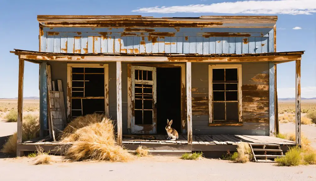
Route 66’s ghost town corridor through New Mexico delivers concentrated Americana decay—five abandoned settlements cluster between Tucumcari and Albuquerque, each offering distinct remnants of the Mother Road’s heyday.
Your ideal route connects:
- Glenrio (17 buildings including Texaco station and diner at Texas border)
- Montoya (brick house dominates empty streets west of Tucumcari)
- Newkirk (complete ghost town with abandoned motels and gas stations)
Exploring nearby town ruins in Cuervo reveals how Interstate 40 literally split communities. Dilia’s 600 residents coexist with ruins—stop at Sacred Heart Church for the altar screen before stumbling upon hidden artifacts in old adobes. Plan 6-8 hours for the entire circuit. Each stop offers different photographic opportunities: Glenrio’s architectural diversity, Newkirk’s spooky abandonment, Dilia’s occupied-meets-deserted contrast.
Frequently Asked Questions
Are There Any Restroom Facilities or Services Available Near Clarkville?
You won’t find modern facilities in this abandoned settlement, but you’ll need to pack everything yourself. Bring portable water stations and pack food vendors’ supplies from nearby towns—Clarkville’s isolation means you’re completely self-reliant out here.
Is Overnight Camping Permitted at the Clarkville Ghost Town Site?
Overnight camping isn’t explicitly permitted at Clarkville due to security concerns and lack of facilities. You’ll find better lodging nearby in Pinos Altos or Silver City, where you can stay comfortably before exploring this atmospheric ghost town during daylight hours.
What Photography Equipment Works Best for Capturing Ghost Town Remnants?
You’ll need a wide-angle lens (16-35mm) paired with a sturdy tripod for those tricky lighting conditions inside crumbling structures. Master composition techniques using leading lines from weathered doorways, and don’t forget your flashlight—darkness reveals history’s forgotten details.
Are There Any Safety Hazards Like Abandoned Mine Shafts to Avoid?
Yes, you’ll find unmarked mine shafts, unstable abandoned buildings with collapsing timbers, and loose rock piles throughout Clarkville. Watch for rattlesnakes and other wildlife encounters in shadowy structures. Always test ground stability and never enter fenced areas.
Do I Need Any Permits to Visit Clarkville Ghost Town?
Want to explore freely? You won’t need special permits for Clarkville—just respect private property considerations and follow basic local regulations overview. The abandoned coal town sits on accessible public land, so you’re good to roam responsibly.