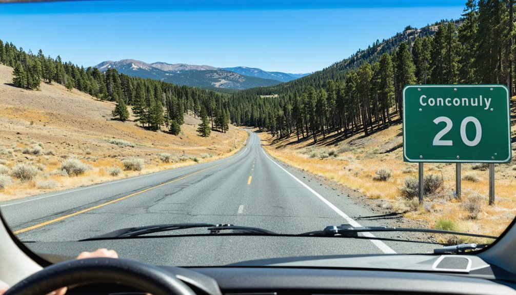
You’ll find Conconully nestled in north-central Washington’s rugged hills, about 20 miles northwest of Omak off Highway 20. This accessible ghost town offers remarkably preserved 1890s mining structures, the fascinating Conconully Museum with Frank Matsura’s historic photographs, and dramatic flood remnants from the 1894 disaster that destroyed 42 buildings. You can explore abandoned mine sites like the Arlington Mine’s underground drifts and the haunting China Wall stamp mill foundations throughout Salmon Creek’s mineral-rich canyon, where the full story of silver booms, devastating floods, and stubborn resilience awaits your discovery.
Key Takeaways
- Visit the Conconully Museum on Lottie Avenue to explore Frank Matsura photographs, flood exhibits, and the Old West town replica.
- Explore skeletal 1890s mining structures including Arlington Mine’s underground drifts and the unfinished China Wall stamp mill foundations.
- Learn about the devastating 1894 flood that destroyed 42 buildings and sent a 30-foot debris flow down Salmon Creek.
- Discover Main Street’s remnants from the silver boom era before the 1893 crash transformed Conconully into a ghost town.
- Access the Wilson Research Center for additional historical photographs and documents about Conconully’s mining legacy and transformation.
From Silver Boom to Quiet Hills: The Story of Conconully
The story of Conconully begins not with pickaxes striking silver, but with paperwork striking down a reservation. When Congress restored the Columbia Reservation to public domain in 1884, you’d find settlers enthusiastic to explore mineral-rich lands previously off-limits.
By May 1886, they rushed in—and immediately struck pay dirt.
Rich silver deposits transformed Salmon City into booming Conconully practically overnight. The Lady of the Lake claim launched a frenzy, with prospectors staking the Arlington Mine and surrounding ledges. This mining legacy turned Main Street into a showplace of wealth and ambition.
But freedom from regulation doesn’t guarantee permanence. The 1893 silver crash triggered an economic transformation in reverse. By the 1920s, Conconully’s splendor faded into quiet hills and empty storefronts.
The Devastating 1894 Flood That Changed Everything
Just as Conconully struggled to recover from losing its silver economy, nature delivered a catastrophic blow that would seal the town’s fate.
On May 27, 1894, a thirty-foot debris flow roared down Salmon Creek at 8:45 a.m., destroying forty-two buildings and causing nearly $100,000 in damages. You’ll find it remarkable that only one person died—Amelia Keith, who drowned retrieving her spectacles. A vigilant horseback rider warned residents to flee to the hills, saving countless lives.
Despite relief efforts from neighboring towns and town revival attempts, Conconully never recovered. The long term community impacts were devastating: the mining center lost its county seat status in 1914, marking the final chapter of its boom-town glory.
Mining Dreams and Mineral Riches in Salmon Creek
Before disaster struck, Conconully’s fortunes rested on the glittering promise of mineral wealth hidden in Salmon Creek‘s rugged canyon walls. When prospectors discovered mineralized ledges of high-grade silver-lead ore in 1886, the Moses Indian Reservation opened for mineral exploration, birthing what locals called Salmon City.
You’ll find the district produced impressive returns—Ruby mine operations alone extracted $200,000 worth of ore, shipping silver, lead, copper, gold, zinc, and rare molybdenite discoveries that attracted serious investors. The geology proved fascinating: biotite dike intrusions cut through ancient rock formations, creating mineral-rich fissures that fueled prospectors’ dreams.
Railroad completion in the early 1900s rekindled mining fever, with abundant timber for operations and Salmon Creek providing hydroelectric power potential for ambitious ventures.
Why This Boomtown Lost Its Glory
Within seven years, Conconully transformed from a thriving silver boomtown into a disaster-stricken ghost town, its descent marked by a trifecta of catastrophic events.
The 1893 silver market crash struck first, shuttering mines and sending prospectors fleeing. Then nature dealt devastating blows: the August 1892 fire consumed 34 buildings, followed by a catastrophic May 1894 debris flow that destroyed 42 more structures and killed Amelia Keith beneath ten feet of mud.
You’ll find mineral resource depletion and economic diversification challenges sealed Conconully’s fate. Timber operations couldn’t replace silver’s prosperity, and losing the county seat to Okanogan in 1914 delivered the final blow. By the 1920s, the once-magnificent boomtown stood mostly abandoned—a silent evidence/proof/record to frontier dreams that couldn’t survive reality’s harsh reckoning.
What Remains of 1890s Conconully Today
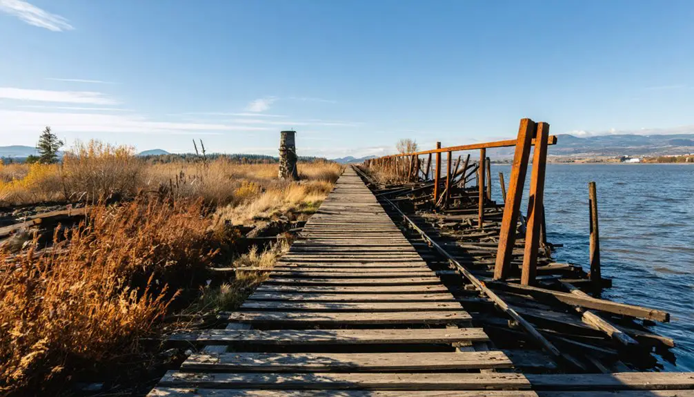
Scattered across the hillsides above modern Conconully, the skeletal remains of 1890s mining glory tell stories through crumbling stone and rusted iron. You’ll discover the Arlington Mine’s intact underground drifts and tracks from 1887, while massive granite blocks—some weighing two tons—form the China Wall’s haunting foundations where a stamp mill never finished construction.
The historical significance of remaining structures draws ghost town enthusiasts to ball mills, iron bins, and belt-driven wheels scattered throughout the district. At Main Street’s north end, Civilian Conservation Corps buildings from 1937-38 now serve the Forest Service. While future preservation plans for abandoned mines remain uncertain, you can still explore these memorial pieces to Okanogan County’s most important nineteenth-century settlement before nature reclaims them completely.
Exploring the Conconully Museum and Historical Sites
You’ll find the heart of Conconully’s story preserved at the museum on Lottie Avenue, where dioramas and relics chronicle the region from its geological origins through the early 1900s boomtown era.
The collection features Frank Matsura’s remarkable photographs documenting daily life from 1903 onward—settlers building communities, workers constructing the dam that would irrigate Pogue Flats orchards, and the infrastructure of a thriving county seat.
Among the exhibits, displays capture the catastrophic 1894 flood that reshaped the town’s destiny, offering stark evidence of the disaster that transformed Conconully from Washington’s newest county seat into a ghost of its former self.
Boomtown Artifacts and Exhibits
Tucked along Lottie Avenue at either number 113 or 219—sources vary on this quirky detail—the Conconully Museum stands as a time capsule of the town’s boomtown glory days. Inside, you’ll discover diorama exhibits that bring the early 1900s to life, showcasing early 1900s daily activities through carefully preserved relics and models.
Frank Matsura’s haunting glass plate negatives capture ordinary citizens and extraordinary moments, including the dramatic 1910 dam construction. The collection spans geological epochs through modern Okanogan history, all housed in buildings that mirror their original purposes.
Outside, you can roam an Old West town replica and vintage fire station year-round, while the nearby Wilson Research Center holds hundreds of additional photos and documents for deeper exploration—no appointment needed for outdoor wandering.
1894 Flood Disaster Displays
Among the museum’s most compelling exhibits, the flood disaster displays preserve the harrowing memory of May 27, 1894, when a 30-foot wall of mud and debris roared down the north fork of Salmon Creek and obliterated 42 buildings in a town already reeling from an 1892 fire and the 1893 silver market collapse.
You’ll discover photographs documenting how residents desperately dynamited debris jams as floodwaters carved new channels through town at 8:45 a.m. The exhibits showcase community response measures that emerged from tragedy—neighboring towns rallied with food and clothing while survivors implemented flood management strategies that culminated in Conconully Dam’s construction.
Frank Matsura’s 1903 photographs capture crews building this critical infrastructure using gravity, vision, and raw manpower. The dam transformed the landscape, creating the reservoir that defines modern Conconully while safeguarding against future disasters.
Finding Abandoned Mines Throughout the Area
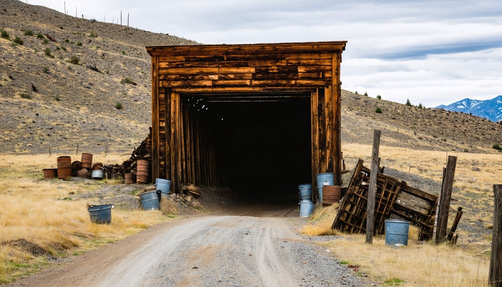
The Conconully area’s rugged hillsides hide dozens of abandoned mines that tell the story of Washington’s late 1800s mining boom. You’ll discover the impressive China Wall Stamp Mill a few miles south of Ruby—a granite fortress standing 27 feet tall and 80 feet long that Bourne constructed in 1888 but never fully operated.
The Arlington Mine, which shipped over 1,000 tons of ore by 1893, offers mining relics from its peak 1914-1921 operations. Ruby Hill’s Last Chance and Fourth of July mines contributed to the district’s $200,000 output before silver prices collapsed. Most sites sit on private property today, but you can spot abandoned machinery and tunnel entrances from public roads, reminding you of the prospectors who chased freedom and fortune through these mountains.
The Ruby Camp Connection
Just six miles north of Ruby’s mountainside perch, Conconully emerged as the district’s true survivor while its sister camp chased silver dreams toward oblivion. You’ll find fascinating Ruby Conconully transportation links that connected these camps through Salmon Creek canyon—a lifeline between two communities that functioned as one.
By 1892, residents raised $300 for road improvements, recognizing their mutual dependence. This community interdependence between Ruby and Conconully extended beyond commerce; ranchers, miners, and merchants moved freely between both settlements, their fortunes intertwined.
While Ruby’s promoters aggressively touted their mineral wealth through the Ruby Miner newspaper, Conconully’s superior location ultimately won out. When silver prices crashed in 1893, Ruby crumbled while Conconully adapted, transforming from mining camp to county seat and surviving into the present day.
Best Routes and Access Points to Conconully
Reaching Conconully requires traversing the winding mountain roads of Okanogan County, where Highway 97 serves as your primary artery into Washington’s north-central high country. From there, you’ll veer onto Conconully Road, following Salmon Creek’s valley as pavement gives way to the town’s historic core along Main Street. The settlement sits in a natural mountain cup at coordinates 48.558889° N, -119.751000° W, making it feel delightfully remote yet accessible.
Downtown’s heart beats at 219 N Main Street, where CCC-era buildings from 1937–38 stand sentinel. Conconully State Park anchors the town center, offering immediate access to crystal-clear Conconully Lake. Grab Conconully hiking maps from the Chamber or nearby hiking trails information at US Forest Service buildings. The reservoir dam enabled agricultural expansion while creating today’s recreational paradise—your gateway to genuine mountain freedom.
Essential Tips for Your Ghost Town Adventure
Before venturing into Conconully’s historic remnants, pack layered clothing for dramatic temperature swings between shaded creek valleys and sun-baked hillsides—summer mornings start crisp at 45°F while afternoons blaze past 85°F.
Seasonal weather considerations prove critical, as spring snowmelt transforms placid Salmon Creek into a torrent echoing the devastating 1894 flood that claimed 42 buildings. Visit during late summer or early fall when trails around abandoned mines stay accessible and stable.
Visitor safety guidelines demand caution around century-old mining structures—weathered timbers and hidden shafts lurk throughout these highlands. Bring topographical maps since cell service vanishes in remote valleys. The Chamber of Commerce offers current trail conditions and identifies which relics you can safely explore.
Sturdy boots grip loose talus near the Arlington Mill’s granite walls, while ample water sustains you through high-desert wanderings.
Frequently Asked Questions
Are There Any Restaurants or Places to Eat in Conconully?
You’ll find several dining spots in Conconully, including local diners like Sit N Bull Saloon and Red Rock Saloon. These family-owned cafes serve hearty American fare with burgers, drinks, and that authentic small-town atmosphere you’re craving on your adventure.
What Is the Best Time of Year to Visit Conconully?
Like wildflowers awakening from winter’s grip, you’ll find Conconully most inviting during spring season through summer. Mild summer temperatures around 85°F and blooming landscapes create perfect conditions for your untethered exploration of this historic ghost town.
Is Camping Available Near Conconully for Overnight Stays?
You’ll find excellent campsites nearby, from Conconully State Park’s waterfront spots to rustic Kerr Campground. Lodging options include Shady Pines Resort’s cabins and Liar’s Cove’s year-round accommodations, giving you freedom to choose your perfect overnight adventure.
How Far Is Conconully From Seattle or Spokane?
Conconully sits 251 miles from Seattle and 228 miles from Spokane—perfect distances for your freedom-seeking road trip. Despite its tiny population size, you’ll discover charming local tourist attractions like historic storefronts and pristine lakes worth every mile driven.
Are the Abandoned Mines Safe to Explore or Enter?
No, abandoned mines aren’t adventure playgrounds—they’re seriously risky. You’ll face potential hazards like flooded shafts, poisonous gases, and unmarked drops. Without proper safety precautions and gear, you’re gambling with your life. Admire from outside instead.