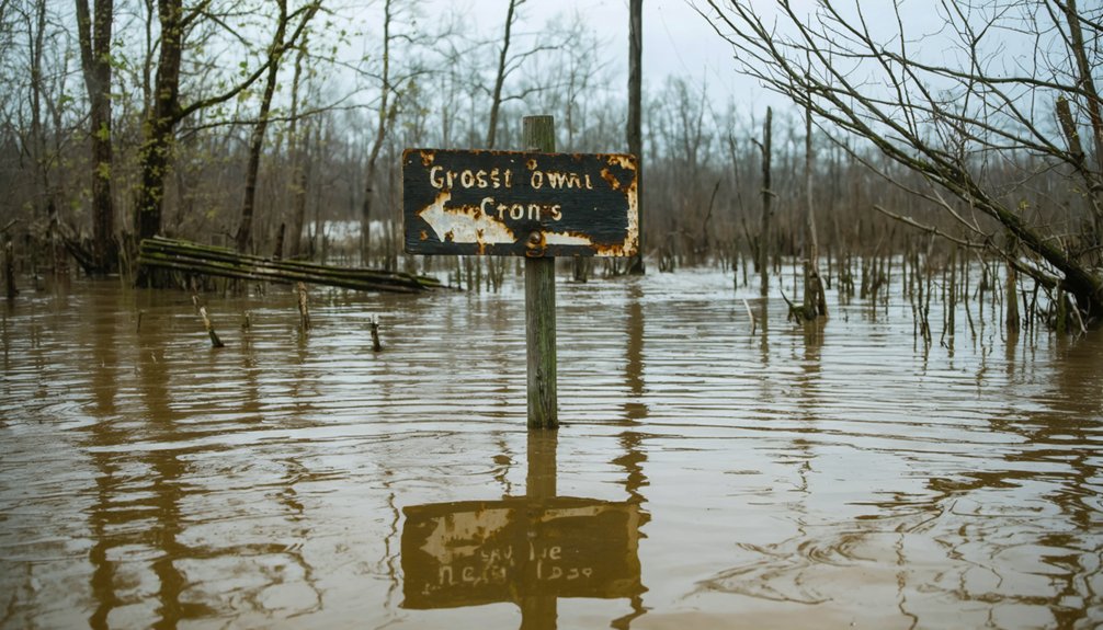
You’ll find Crossroads at the junction of Highway 10 and Highway 113 in Pulaski County, but you won’t see any buildings—they’re 60 feet beneath Lake Maumelle’s surface. The Central Arkansas Water Authority flooded this settlement in 1957, creating a reservoir that now supplies drinking water to central Arkansas. You can visit the shore where the town once stood, though exploring the actual submerged structures requires specialized scuba equipment and proper certification. The story beneath these waters runs deeper than you’d expect.
Key Takeaways
- Crossroads was submerged in 1957 and now lies beneath Lake Maumelle, a drinking water reservoir in Pulaski County.
- The Highway 10 and Highway 113 intersection marks where Crossroads once stood on Lake Maumelle’s southern edge.
- Travel west from Little Rock on Highway 10 toward Perryville to reach the former Crossroads location.
- Lake Maumelle offers WestRock Landing with boat ramps and docks for viewing the area above the drowned town.
- Combine your trip with nearby Agnos ghost town to see authentic collapsed structures and abandoned rural infrastructure.
The Submerged History of Crossroads in Pulaski County
Beneath the placid waters of Lake Maumelle lies a vanished community that most Arkansans have never heard of. Crossroads was a small rural settlement near today’s Highway 10 and Highway 113 intersection until 1957, when the Central Arkansas Water Authority’s reservoir project sent the entire town—including its cemetery—to the bottom.
You won’t find commemorative markers or historical plaques pointing to what rests below. The submersion presents unique historical preservation challenges, as water supply restrictions prevent archaeological excavation possibilities that might reveal how these early settlers lived.
Like Monte Ne before it and Dubuque after, Crossroads joined Arkansas’s collection of drowned ghost towns, accessible only through archived records and fading memories of displaced families.
What You’ll Find at Lake Maumelle Today
Where Crossroads once stood, you’ll now encounter a thriving recreational reservoir that serves dual purposes for central Arkansas—providing drinking water to the region while offering carefully managed public access. Access improvements at WestRock Landing include a new three-ramp complex with four boat lanes, two 70-foot courtesy docks, and a pea-gravel beaching area for convenient retrieval. You can monitor real-time conditions through USGS station 072632966, helping you plan your visit around water levels and weather patterns.
The lake’s recreational use balances with its primary drinking water mission, which means you won’t find waterfront homes crowding the shoreline. This protection preserves the landscape’s natural character while maintaining excellent fishing and boating opportunities. Track historical water level charts online before heading out to explore where Crossroads disappeared beneath the waves.
To reach the intersection where Crossroads once thrived, head west from Little Rock on Highway 10 toward Perryville, tracking the southern edge of Lake Maumelle‘s sprawling waters. You’ll travel past Pinnacle Mountain State Park before encountering Highway 113‘s southern terminus south of Wye in Pulaski County. This junction marks mile 0.0 for the northbound route through rural territory toward Morrilton.
The area’s experiencing transformation through a road widening project near Oppelo, where McGeorge Contracting Company‘s expanding the existing 11-foot lanes to 12-foot widths. This intersection reconfiguration, part of a $9.7 million initiative partnering with Green Bay Packaging, aims for completion by late 2025.
Despite modern improvements, the junction remains your gateway to exploring forgotten settlements along these historic Arkansas highways.
Essential Gear for Exploring an Underwater Ghost Town
Unlike the dry-land ghost towns dotting Arkansas highways, exploring submerged settlements like those beneath Lake Minnewanka or Summersville Lake demands specialized equipment that transforms casual road-trippers into underwater archaeologists.
Submerged ghost towns transform weekend adventurers into technical divers, requiring specialized gear that turns recreational exploration into serious underwater archaeology.
You’ll need proper scuba gear rated for depths reaching 60 to 98 feet, where most submerged structures rest. Thermal protection suits combat frigid glacial waters that’ll sap your energy fast. Low visibility requires scanning equipment to piece together structures section-by-section while avoiding underwater obstructions like abandoned fishing gear.
Essential equipment includes:
- ROVs with mounted lights for maneuvering flooded mine interiors and preserving fragile structures through hands-off observation
- Echo-principle scanning torpedoes that map lake beds and create 3D models of bridges and foundations
- Exposure suits and thermal layers protecting against freezing meltwater during extended dives
Guided operations through certified dive shops facilitate safe exploration.
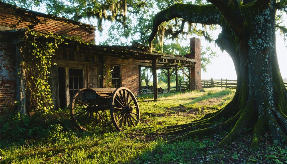
Other Lost Arkansas Towns to Add to Your Route
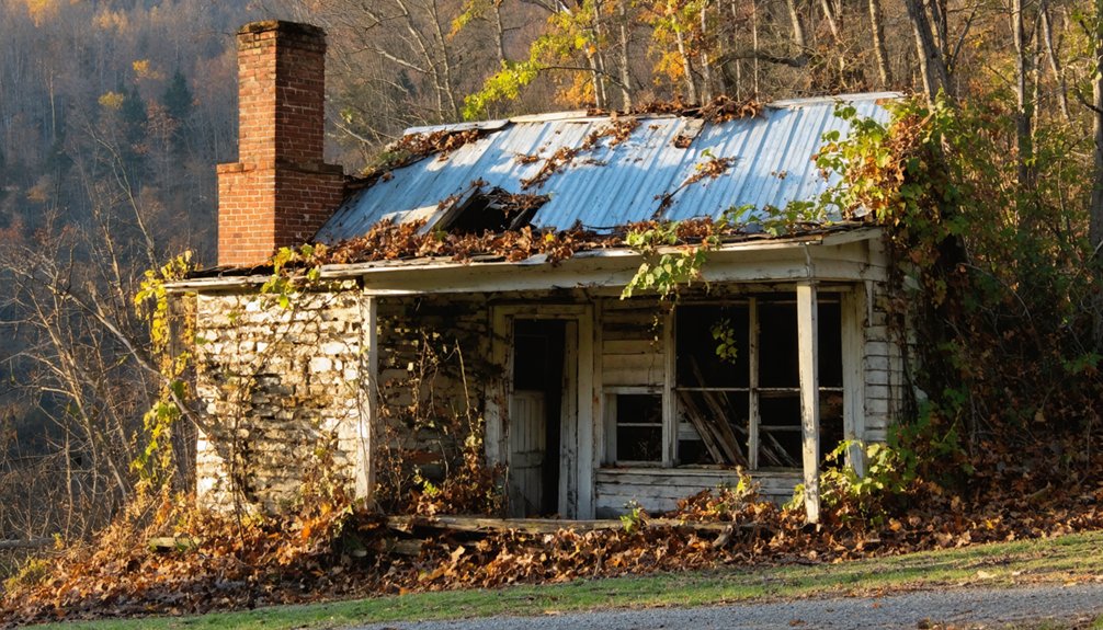
Agnos offers raw authenticity—a collapsed lumber town where wooden structures lean at impossible angles, nature reclaiming what progress abandoned.
Saplings pierce floorboards while the faded post office paint whispers of forgotten prosperity, untouched by rural infrastructure restoration.
Frequently Asked Questions
Are There Any Safety Restrictions for Diving Near the Crossroads Site?
Diving’s completely prohibited at Crossroads—Central Arkansas Water bans all underwater exploration. You’ll face fines for attempting it, regardless of your necessary diving equipment or underwater visibility conditions. The reservoir’s a protected water source with strict enforcement against any submersion activities.
What Was the Population of Crossroads Before the 1957 Flooding?
Like Atlantis slipping beneath waves, Crossroads’ exact numbers remain elusive. You won’t find former population statistics in official records. Historical accounts of the town suggest a small community existed, but precise figures vanished with the floodwaters themselves.
Can You Visit the Submerged Cemetery With Proper Diving Permits?
You can’t legally dive to the cemetery since it lies within Greers Ferry Lake’s restricted zones. Weather conditions and time of year won’t matter—the submerged graves remain off-limits, preserving both history and respecting the resting souls below.
Were Any Buildings Relocated Before Lake Maumelle Was Created?
Yes, several buildings were relocated before flooding. Historical preservation efforts saved structures like Cross Roads Baptist Church and Sample’s schoolhouse. Local resident recollections confirm families dismantled homes and moved them to higher ground, preserving their heritage.
How Deep Is the Water Above the Original Town Site?
Water depth measurements over Crossroads’ original site aren’t publicly documented. You’ll need specialized underwater exploration plans and sonar equipment to determine Lake Maumelle’s depths there, as official hydrographic surveys haven’t specifically recorded this submerged ghost town’s coverage.