You’ll find Croweburg about 12 miles northeast of Girard in Crawford County, Kansas, where weathered mining structures tell stories of a coal boom that peaked during WWI. Navigate via county roads to discover the historic post office, Union Hall, and remnants of four distinct mining camps that once housed thousands of workers. Plan your visit during spring or fall for comfortable temperatures, and bring a high-clearance vehicle, GPS, water, and camera—there aren’t any services available. The surrounding area reveals even more fascinating ghost town history worth exploring.
Key Takeaways
- Croweburg is located 12 miles northeast of Girard in Crawford County, accessible via county roads between Arma and Mulberry.
- Visit during spring or fall for optimal weather; avoid tornado season (April-June) and summer heat exceeding 90°F.
- Bring high-clearance vehicle for muddy gravel roads, plus water, snacks, insect repellent, and GPS as no services exist.
- Explore surviving structures including the historic post office, mercantile building, Union Hall, and relocated mining camp homes.
- Extend your trip to nearby ghost towns Cato and Monmouth, clustered in northern Crawford County along rural roads.
Getting to Croweburg: Routes and Nearby Landmarks

Croweburg sits quietly in Crawford County, Kansas, at coordinates 37°33′10″N 94°40′07″W, positioned almost exactly halfway between the small communities of Arma and Mulberry. You’ll find this ghost town about 12 miles northeast of Girard, accessible through Crawford County’s road system.
The settlement once thrived as a railway stop on the historic Joplin & Pittsburg electric line, connecting to broader regional transportation networks that fueled coal mining operations. Today, you can navigate using ZIP codes 66712 and 66756, following rural highways that wind through this sparsely populated landscape. The topographical features of the area include gently rolling hills characteristic of southeastern Kansas coal country.
While economic development prospects remain limited, the journey itself offers authentic exploration. Look for the Croweburg Road and Fulton Avenue intersection, where the original post office once anchored this community of scattered mining camps. At this corner, you can still see an old business building that has survived from the town’s more prosperous days.
What to See: Surviving Structures and Historical Sites
Time has left its mark on Croweburg’s landscape, where weathered structures stand as silent witnesses to a bygone coal mining era. You’ll discover the Historic Post Office Building at Croweburg Road and Fulton Avenue, operational until 1972 as an international money order facility.
Scattered homes reveal architectural styles typical of early 20th-century working-class construction, many relocated from abandoned mining camps via railroad flatcars. The community’s evolution from sundown town is evident in the colored church and school established after 1912, reflecting changing community demographics.
You’ll find the large mercantile building and Union Hall still standing, alongside remnants of four mining camps. Though no businesses operate today, these structures offer authentic glimpses into mining community life without commercial interference. The coal mining workforce here was part of the nearly 10,000 employees who worked in southeast Kansas coal fields during the early years of World War I. While Croweburg’s architecture may be modest, the state celebrates grander examples like the Ness County Bank in Ness City, recognized as one of the 8 Wonders of Kansas Architecture for its hand-carved stone façade.
The Rise and Fall of a Mining Community
Black diamonds beneath Cherokee and Crawford Counties sparked an industrial transformation that would reshape southeastern Kansas forever. You’ll discover how Croweburg emerged in 1908 as four distinct camps, each serving the Crowe Coal Company’s operations. The community impact was immediate—125 residents established an international money order post office and vibrant local trade by 1910.
Social dynamics revolved around the dangerous shaft mines where immigrants and American-born miners worked side-by-side using the room-and-pillar system. Between 1890 and 1910, coal demand fueled explosive growth across 300 square miles of mining territory. This expansion followed earlier developments when small coal companies formed to prospect and mine coal from strip and slope banks along the railroad throughout Crawford County.
But freedom comes with consequences. When mechanized strip-mining replaced underground operations in 1931, Croweburg’s purpose vanished. The semi-permanent nature of shaft mines had sustained the community for decades, making their closure all the more devastating. By the early 1940s, residents abandoned their homes, leaving only memories and weathered structures behind.
Exploring Neighboring Ghost Towns in Crawford County
Beyond Croweburg’s abandoned streets, Crawford County harbors a constellation of forgotten settlements that trace the boom-and-bust cycles of Kansas coal country. You’ll find Cato halfway between Frontenac and Fort Scott—the county’s earliest settlement, where a post office operated from 1858 to 1905 before vanishing entirely.
Monmouth’s coal town remnants tell similar stories, its post office serving miners from 1857 to 1955 before abandonment claimed the townsite. The loss of local businesses drove inhabitants to seek employment elsewhere, leaving these mining communities hollow shells of their former prosperity. The decline of primary industries like coal mining accelerated the exodus from these once-thriving communities.
These ghost towns cluster in northern Crawford County, connected by rural roads that weave through fading local mining legends. You’re free to explore shotgun houses and building ruins that mark where communities once thrived. Each abandoned settlement reveals another chapter in the region’s industrial past, waiting for travelers who crave authentic encounters with Kansas’s forgotten frontier.
As you continue exploring ghost towns in Kansas, you may stumble upon remnants of old railroad tracks that once connected these hidden communities to bustling cities. The stories of those who lived there linger in the air, whispering of dreams and aspirations that faded with time. Each visit invites a deeper appreciation for the resilience of those who called these places home.
Best Times to Visit and What to Bring
When planning your Croweburg expedition, you’ll find spring and fall offer the most rewarding conditions for exploring this Crawford County relic. March through May brings mild 50-70°F temperatures, while September through November delivers crisp 40-65°F weather perfect for photographing shotgun houses and historical mining artifacts.
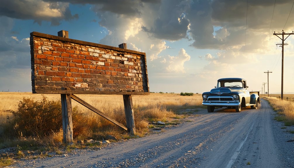
Seasonal precipitation patterns dump 40-45 inches annually, heaviest in spring, so pack sturdy boots for muddy gravel roads requiring high-clearance vehicles. Summer’s 90°F heat works if you avoid April-June tornado season—that devastating 2003 F4 carved a 35-mile path through the region.
You’ll need water, snacks, insect repellent, and a flashlight since Croweburg’s 1972 post office closure left zero services. Bring your camera, GPS for spotty cell coverage, and sense of adventure for this authentic ghost town experience. Croweburg once served as a station on the Joplin & Pittsburg electric line, connecting this mining community to the broader regional transportation network. The census enumerators commenced work on April 15, 1910 in Cherokee County, documenting the region’s population during the height of its mining boom before towns like Croweburg began their decline.
Frequently Asked Questions
Is It Safe to Explore Croweburg Alone or at Night?
Exploring Croweburg alone or at night isn’t recommended due to personal safety risks from abandoned mine hazards, unstable structures, and potential vandalism concerns. You’ll face dangerous highwalls, subsidence areas, and limited visibility that compromise your freedom to explore safely.
Are There Any Guided Tours Available for Croweburg’s Historical Sites?
No guided historical tours operate in Croweburg—you’re free to explore independently. The unincorporated community lacks local preservation efforts or tour operators, so you’ll discover the mining camp ruins, shotgun houses, and old post office entirely on your own terms.
Can Visitors Enter the Remaining Buildings or Are They Private Property?
Like gates guarding forgotten memories, Croweburg’s remaining buildings are private property you can’t enter. Building accessibility is restricted, and structural integrity remains uncertain. You’re free to photograph exteriors from public roads while respecting residents’ privacy.
Are There Nearby Accommodations or Camping Options for Overnight Stays?
You’ll find limited options directly in Croweburg, but nearby hotels in Pittsburg and local campgrounds at Crawford State Park offer comfortable overnight stays. Lindsborg also provides charming accommodations if you’re exploring multiple Kansas ghost towns during your adventure.
What Photography Restrictions or Permissions Are Needed for the Ruins?
You’ll need photography permits for commercial or historical photography requiring props and equipment. Curiously, 90% of visitors don’t realize permits process in just 2-5 business days. Personal nature shots remain free, preserving your creative freedom at ruins.
References
- https://legendsofkansas.com/kansas-ghost-town-list/
- https://www.hhhistory.com/2019/05/ghost-towns-of-kansas.html
- https://www.youtube.com/watch?v=Pf5n1PX1g3M
- https://legendsofkansas.com/croweburg-kansas/
- https://legendsofkansas.com/crawford-county-extinct-towns/
- https://explorecrawfordcounty.com/ourstory/
- https://www.youtube.com/watch?v=dmPyCbXb71M
- https://en.wikipedia.org/wiki/Croweburg
- https://www.crawfordcountykansas.org/uploads/6/2/7/8/62784259/pdf_general_highway_map.pdf
- https://www.zipdatamaps.com/en/places/us/cdp/kansas/croweburg


