If you’re planning a ghost town road trip, Denoya, Oklahoma is your destination. Once called Whizbang, this former oil boomtown exploded to 10,000 residents and 300 businesses before collapsing just as fast. You’ll find it 1.5 miles north and west of Shidler using coordinates N36 45.911, W96 42.461. Pack water, sturdy shoes, and a camera—visible rubble and oil foundations still mark the landscape. Nearby towns like Barnsdall and Avant make this circuit even richer, and there’s far more to this wild story ahead.
Key Takeaways
- Denoya sits 1.5 miles north and west of Shidler; use GPS coordinates N36 45.911, W96 42.461 for precise navigation.
- Pack water, sturdy footwear, and a camera, as many roads leading to ghost towns are unmarked and rural.
- Combine Denoya with nearby ghost towns like Barnsdall, Avant, and Shidler for a full historical circuit.
- Once called Whizbang, Denoya drew 10,000 residents and 300 businesses during Oklahoma’s 1921 oil boom.
- Visible oil foundations and rubble remain at the site, offering compelling photography and storytelling opportunities.
What Was Denoya (And Why Did They Call It Whizbang)?
Tucked away in Osage County, Oklahoma, Denoya sits roughly 1.5 miles north and west of Shidler, and about 7 miles north and 20 miles west of Pawhuska — but you might know it better by its original name: Whizbang. That colorful nickname stuck hard among locals, and town legends suggest it perfectly captured the town’s explosive, untamed energy during the oil boom era.
When the local postmaster officially rechristened it Denoya, honoring a prominent Osage — or, according to some local legends, French/Osage — family, residents largely ignored the change. You can’t really blame them. “Whizbang” just hits differently than “Denoya.” The name carried the spirit of a place that erupted onto the map in 1921, fast, loud, and impossible to ignore.
How the Burbank Oil Field Put Denoya on the Map
When the Burbank oil field roared to life, Denoya’s fate changed overnight. That first well hit paydirt pumping over 600 barrels daily, and a second well quickly followed, producing an astonishing 2,500 barrels per day.
Those historical anecdotes aren’t just numbers — they represent the raw power that transformed a quiet Oklahoma stretch into a thundering boomtown.
Those numbers carry real weight — they mark the moment a sleepy Oklahoma landscape erupted into something unforgettable.
You’d have witnessed 10,000 people flooding in, 300 businesses staking their claim, and oil rigs piercing the prairie sky in every direction.
The cultural significance runs deep here — this wasn’t just an economic explosion, it was a defining moment for Osage County and Oklahoma’s broader petroleum identity.
Denoya became proof that black gold could build an entire world almost instantly.
How Wild Did Denoya Actually Get?
Denoya didn’t just earn a rowdy reputation — it claimed the title of the wildest oil boom town in all of Oklahoma. When you dig into the community legends surrounding this place, you realize the chaos was real and relentless.
Shootings weren’t rare incidents here — they happened regularly, almost predictably, as thousands of rough-edged fortune seekers flooded in chasing black gold.
The cultural impacts were staggering: 10,000 people packed into a town that practically built itself overnight, sustaining 300 businesses fueled by desperation, ambition, and lawlessness.
You can almost feel the electric danger still hanging over the remnants today.
Denoya wasn’t just wild by frontier standards — it was wild by any standard, a place where freedom and violence walked hand in hand.
Why Denoya Went From 10,000 People to Zero
What goes up must come down, and nowhere does that truth hit harder than in Denoya’s brutal collapse. When the oil dried up, so did everything else. Those 300 businesses didn’t gradually fade — they emptied fast, leaving behind historical legends of a town that burned bright and died hard.
You can picture it clearly: workers packed their tools, saloon owners shuttered their doors, and families chased the next boom elsewhere. The population of 10,000 dropped to a few hundred, then to zero.
Town legends describe the exodus as almost overnight, streets going from chaotic and dangerous to eerily silent.
What Can You Still See at Denoya Today?
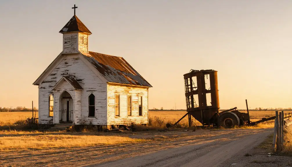
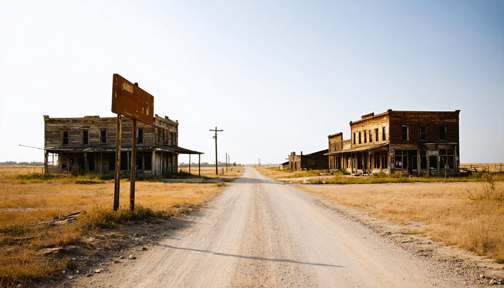
That silence didn’t erase everything. When you pull up to where Denoya once roared, you’ll spot remnants that refuse to disappear quietly. Old oil rig foundations jut from the earth, and abandoned structures still break the Oklahoma skyline, giving you a tangible sense of what 10,000 restless souls built in a hurry.
You can see rubble and building remains clearly from the road, so you don’t need to wander far to feel the weight of this place. Local legends about shootings and wild nights follow you through every crumbling corner.
Bring a camera, because the contrast between open prairie and these stubborn ruins hits differently in person. Denoya rewards the curious traveler willing to read a landscape instead of a guidebook.
How to Find Denoya, Oklahoma
To reach Denoya, set your GPS to N36 45.911, W96 42.461, and you’ll land right at the site.
You’ll find it about 1.5 miles north and 1.5 miles west of Shidler, making that small town your most practical jumping-off point.
The remains are visible from the road, so once you’re in the area, you won’t need to search hard to spot the rubble and old oil foundations scattered across the landscape.
Denoya’s Exact GPS Coordinates
Finding Denoya is straightforward if you’ve got the right coordinates locked in: N36 45.911, W96 42.461. Punch them into your GPS and you’ll land precisely at this forgotten oil boomtown in Osage County, Oklahoma.
You’re targeting a spot roughly 1.5 miles north and 1.5 miles west of Shidler, and about 7 miles north and 20 miles west of Pawhuska. The route is simple, and the landscape will start telling its story before you even arrive.
Local legends and historical anecdotes describe a town that once roared with 10,000 residents and 300 businesses. Now, scattered rubble and oil rig foundations greet you from the roadside.
Having exact coordinates means you won’t miss what little Denoya has left to offer.
Nearby Landmark Reference Points
Shidler serves as your most reliable jumping-off point, sitting just 1.5 miles south and 1.5 miles east of where Denoya once stood. Head northwest from Shidler, and you’ll reach the site quickly.
If you’re coming from Pawhuska, you’re looking at a 7-mile drive north and 20 miles west through open Oklahoma countryside.
These roads carry more than dust and distance — they carry historical myths and local legends about roughnecks, shootings, and overnight fortunes made and lost during the Burbank oil boom.
The surrounding Osage County landscape hasn’t changed dramatically, so you’ll still feel the remoteness that once defined this wild town.
Oil rig remnants and scattered rubble remain visible from the road, making Denoya surprisingly easy to identify once you’re in the right area.
Roads Leading To Denoya
Once you’ve got your bearings around Shidler and Pawhuska, the actual drive to Denoya is straightforward. Head 1.5 miles north and 1.5 miles west of Shidler, and you’ll find yourself standing where 10,000 souls once chased oil money and lived out local legends of wildcat fortune.
From Pawhuska, you’re looking at 7 miles north and 20 miles west. The coordinates N36 45.911, W96 42.461 lock you in precisely if you’re running GPS.
The road delivers you close enough that rubble and old oil foundations remain clearly visible from the pavement — no off-road adventure required. Those remnants aren’t just debris; they’re physical historical anecdotes written in concrete and rusted steel, marking exactly where Oklahoma’s rowdiest boomtown once roared to life.
Other Oklahoma Ghost Towns to Pair With a Denoya Visit
If you’re already making the trek to Denoya, Oklahoma’s ghost town landscape rewards those who plan ahead and string multiple sites together into one unforgettable road trip. Osage County and its surrounding region hide several other abandoned towns that share Denoya’s oil boom heritage, making route planning both logical and rewarding.
Pull up a map, identify the ghost towns closest to Denoya’s coordinates at N36 45.911 W96 42.461, and you’ll quickly see how efficiently you can connect the dots across Oklahoma’s haunted history.
Nearby Ghost Towns
Oklahoma’s ghost town landscape extends well beyond Denoya’s crumbling foundations, and while you’re already in Osage County, you’d be smart to plan a few additional stops nearby. The region’s oil boom era left behind multiple abandoned settlements, each carrying their own historical anecdotes and local legends worth exploring.
Consider adding these stops to your route:
- Bigheart (now Barnsdall) – another Osage County oil town with a colorful boom-era past
- Avant – a small community with fascinating remnants of early Oklahoma settlement
- Shidler – still partially inhabited but rich with stories from the Burbank oil field days
You’ll cover serious historical ground without logging excessive miles, making this corner of Oklahoma a genuinely rewarding ghost town circuit.
Planning Your Route
Since you’re already making the drive out to Osage County, pairing Denoya with a few other ghost towns turns a single-site visit into a full-blown historical road trip. Oklahoma’s northeast corridor holds several abandoned settlements loaded with historical anecdotes and local legends worth chasing down.
Start in Pawhuska, just 20 miles east, where Osage Nation history anchors the region’s backstory. Then swing northwest toward Denoya before pushing further into the county to catch additional oil-era remnants scattered along rural highways.
You’ll want a detailed Oklahoma road map or reliable GPS, since many sites sit on unmarked county roads. Pack water, sturdy footwear, and a camera. The landscape rewards explorers who move deliberately, letting each crumbling foundation tell its own story before driving on.
Frequently Asked Questions
Is There an Admission Fee or Permit Required to Visit Denoya?
No permit’s required — you’re free to explore! For travel safety, visit during daylight. Capture stunning Photography tips: shoot the oil foundations at golden hour. Denoya’s open ruins await your adventurous spirit without any admission fees.
What Is the Best Time of Year to Visit Denoya?
Spring and fall offer the best seasonal weather for exploring Denoya’s ghostly remains. You’ll enjoy mild temperatures, stunning natural backdrops, and incredible photography opportunities as golden light illuminates the crumbling oil-era ruins stretching freely across Oklahoma’s open landscape.
Are There Any Guided Tours Available of the Denoya Ghost Town?
Once home to 300 businesses, Denoya doesn’t offer formal guided tours, so you’ll freely explore its historical preservation independently. You’ll find incredible photography opportunities among the oil rig remnants and rubble still visible roadside today.
Is the Denoya Site on Public or Private Property?
The knowledge doesn’t confirm whether Denoya’s site is public or private, so you’ll want to verify before visiting. Respecting preservation efforts and the area’s historical significance guarantees you’re free to explore responsibly and legally.
Are There Any Nearby Hotels or Campgrounds Close to Denoya?
Ready to explore? You’ll find hotels in Pawhuska and Shidler nearby. Camp freely while chasing local legends and supporting historic preservation of Denoya’s haunting remnants—both towns keep you close to this unforgettable ghost town adventure.
References
- https://en.wikipedia.org/wiki/Whizbang
- https://www.kaypratt.com/denoya-ghost-towns-of-oklahoma/
- https://www.facebook.com/OsageCountyOK/posts/whizbang-oklahoma-was-once-considered-the-rowdiest-oil-boom-town-in-the-state-in/6113741651989405/
- https://nondoc.com/2022/01/04/whizbang-oklahoma-ghost-town/
- https://en.wikipedia.org/wiki/List_of_ghost_towns_in_Oklahoma
- https://www.okhistory.org/publications/enc/entry?entry=GH002
- https://okielegacy.net/journal/tabloid/?ID=5321&iss=20&vol=12