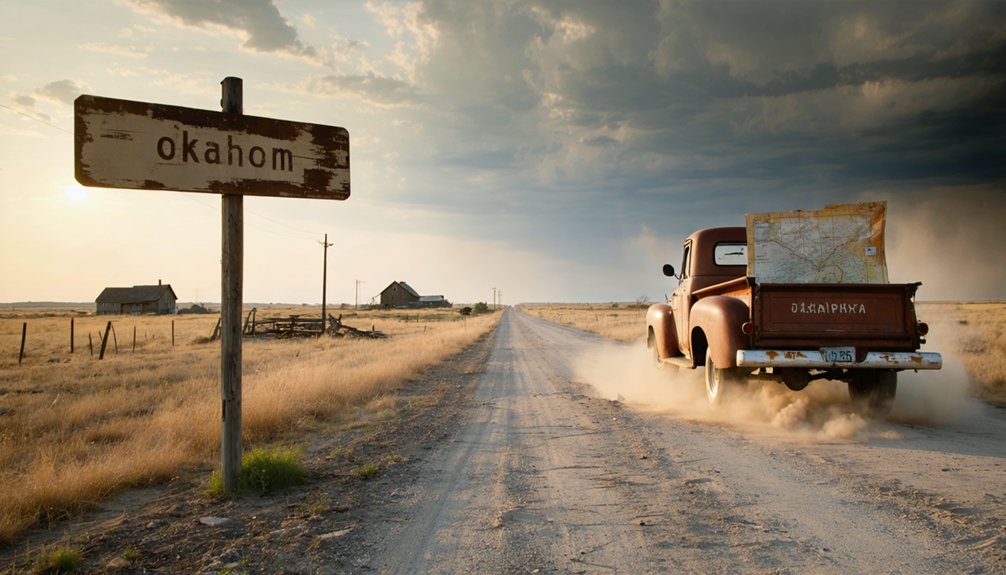
Exit the Turner Turnpike near Nardin and follow gravel roads to where Douglas City’s 1911 brick schoolhouse rises from dense woodland that’s reclaimed streets once bustling with over 200 Black families. You’ll discover overgrown foundations, a 1953 church still holding services, and subtle depressions marking homesteads from this all-Black town established in 1894. Bring sturdy boots for exploring scattered remnants and a camera for capturing weathered signs, though understanding what made Oklahoma’s fifty all-Black communities thrive requires knowing their complete story.
Key Takeaways
- Access Douglas City via the Turner Turnpike, where the highway cuts through the former all-Black townsite established in 1889.
- Visit the 1911 brick schoolhouse with four classrooms and the 1953 church building still standing in the southeastern corner.
- Explore overgrown foundations, weathered signs, and scattered artifacts that mark the once-thriving farming community of 200 lots.
- Attend the annual Heritage Day celebration to connect with preservation efforts and the community’s enduring legacy.
- Allow time for solitary reflection amid dense woodland reclaiming former streets of this historic all-Black Oklahoma settlement.
The History of Douglas City: Oklahoma’s All-Black Town Founded in 1894
The Oklahoma Land Run of 1889 had barely settled the dust when African American entrepreneurs began carving out their own slice of opportunity in the newly opened territory. By the 1890s, these visionaries settled 160 acres that would become Douglas, selling over 200 lots to Black families by 1893. Their early entrepreneurial hopes manifested in tangible progress—a general store, cotton gin, gristmill, and church rose from the prairie soil.
Their optimism wasn’t unfounded. They’d secured 10 acres for a public school and anticipated hosting the Territorial Normal School for Negroes. This segregated town development represented more than survival; it embodied self-determination. When the Onyx post office opened in 1894, it stamped official recognition on a dream taking physical form across the Oklahoma landscape.
What to Expect When Visiting Douglas City Today
Fast-forward 130 years from those hopeful beginnings, and you’ll discover that Douglas City exists primarily as coordinates on a map and memories in history books. The present day landscape features mostly wooded terrain where the Turner Turnpike cuts through what remains of the townsite. Current population demographics show about 54 people scattered across the area, though you won’t find a traditional town center.
What you’ll encounter:
- An active church bearing the Douglas name in the southeastern corner—the sole surviving structure
- Dense woodland reclaiming the former streets and homesites
- The Turner Turnpike serving as your landmark for navigation
- Complete solitude to reflect on freedoms won and communities lost
Bring your imagination; it’s essential equipment here.
Exploring the Visible Remains and Historic Structures
When you arrive in Douglas, you’ll find the 1911 brick schoolhouse still standing with its four classrooms and library, a memorial/monument/symbol to over a century of prairie winds and winters.
The 1953 church building remains visible alongside scattered remnants of the town’s railroad past, though most structures have succumbed to time since the population dwindled from nearly 200 residents to just 32.
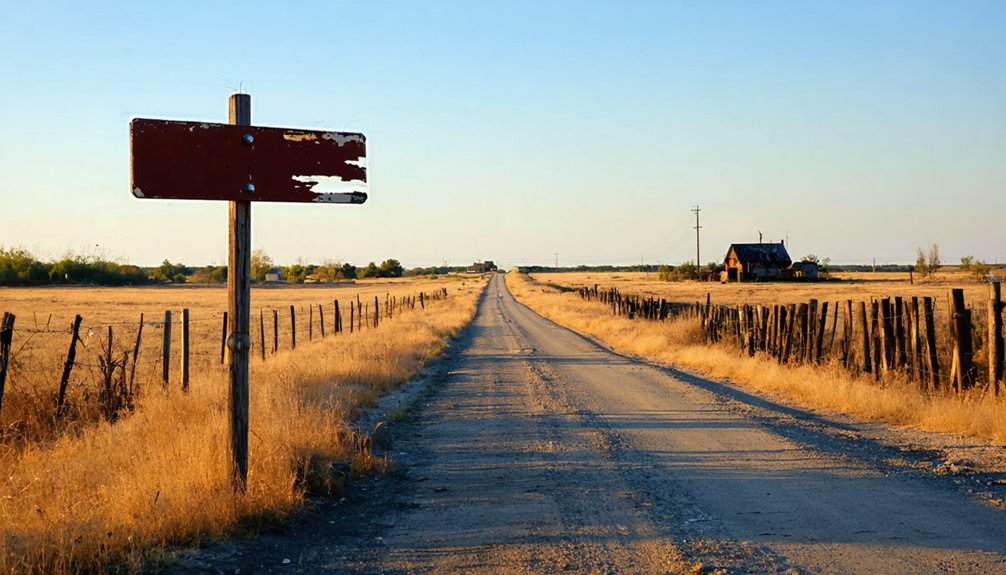
You can walk freely through the quiet streets where old foundations and weathered signs mark what was once a thriving farming community before the 1961 school consolidation and the 1994 flood that severed the railroad connection.
Current State of Ruins
Although Douglas City once bustled with frontier activity in the 1890s, today’s landscape tells a quieter story through scattered clues rather than standing structures. You’ll find overgrown foundations barely visible beneath decades of vegetation in this barren, wooded terrain.
Remnant building materials—weathered wood fragments and rusted metal—occasionally surface among the undergrowth.
What you’ll discover when exploring:
- Subtle depressions marking former building locations
- Stone foundation corners disappearing into the earth
- Scattered artifacts requiring careful observation
- Nature reclaiming what settlers briefly claimed
The site demands your detective skills rather than offering obvious photographic monuments. Bring your curiosity and patience—this ghost town reveals itself slowly to those willing to look beyond the surface and piece together its faded story.
Preservation Efforts and Accessibility
Despite maintaining its incorporated status, Douglas City offers visitors a challenging preservation landscape where decay and determination exist side by side. You’ll find abandoned houses claiming back portions of town, slowly disappearing beneath relentless overgrowth. Yet the community hasn’t surrendered—their annual Heritage Day celebration proves it.
Restoration funding limitations mean you won’t encounter pristine historical displays. Instead, you’ll witness authentic decay alongside modest preservation triumphs. A few buildings have been constructed or restored specifically for Heritage Day, demonstrating what’s possible when roughly 50 residents pool their resources. Sustainable maintenance challenges persist as nature reclaims the formerly wooded landscape.
The Turner Turnpike provides straightforward access to this settlement where approximately 200 once thrived. You’ll discover an active church bearing the Douglas name still standing in the southeastern corner—a symbol of stubborn survival.
Understanding the All-Black Town Movement in Oklahoma
As you wind through the red dirt roads of Oklahoma today, it’s hard to imagine the bold vision that once drew thousands of African Americans to this land—a vision of self-determination so powerful it transformed Indian Territory into home for more all-Black towns than anywhere else in America.
Between 1865 and 1920, former slaves and their descendants built over 50 thriving communities here, seeking refuge from racial segregation policies and economic discrimination against blacks that plagued the South.
These pioneers created:
- Self-governing municipalities with elected Black officials
- Prosperous businesses serving their own communities
- Schools and churches built by their own hands
- Agricultural enterprises on land they actually owned
Leaders like E.P. McCabe promoted Oklahoma as a “promised land” through newspapers circulated by traveling agents throughout the South.
Salt Fork: A Quick Stop Along Your Route
As you drive south on Highway 74, you’ll spot the weathered remnants of Salt Fork—a settlement that shed its original name, Elmpark, when the railroad chose this spot over nearby Onyx in the 1890s.
The Salt Fork Arkansas River flows just a mile north, its waters eventually draining into the Great Salt Plains, while rusted rail traces still mark where trains once pulled through town.
Today, only a handful of crumbling structures remain from the bank-and-school days, their faded facades standing as lonely sentinels in the wheat-growing plains.
Name Change History
- Railroad arrival demanded a location that travelers could pinpoint on emerging maps
- River recognition honored the 192-mile waterway locals depended on daily
- Regional consistency aligned with neighboring communities along the Salt Fork corridor
- Practical navigation replaced poetic naming with geographic reality
You’ll find this pattern repeated across Oklahoma’s ghost towns—settlers initially chose romantic names, then surrendered to the land’s honest features when survival mattered more than sentiment.
Railroad and River Remnants
The Salt Fork River cuts a 239-mile scar across the prairie, carrying its payload of dissolved minerals from Kansas salt beds into northern Oklahoma’s red earth. You’ll cross this waterway near Douglas City, where crumbling bridge abutments mark forgotten crossings. The river infrastructure here tells stories of ambitious settlement—rusted iron supports jutting from muddy banks, remnants of railroad trestles that once connected prairie towns to the wider world.
Twenty miles northwest, the Great Salt Plains sprawl across 25 square miles in Alfalfa County. Salt flats management has preserved this ancient landscape since 1930, though you’re free to explore the crystalline crust on your own terms. The Osage traded salt here long before surveyors platted Douglas City. Now both settlements exist only in memory, their economies dissolved like salt in water.
Limited Historic Structures
You’ll find precious little standing at Salt Fork these days, a stark contrast to Douglas City’s scattered foundations just down the road. The structural remains here won’t consume much daylight—perfect for travelers who prize efficiency over lengthy visual explorations.
What awaits during your brief stop:
- A handful of weathered buildings that somehow survived Oklahoma’s relentless winds and time’s erosion
- Open prairie views where the Salt Fork Arkansas River once promised prosperity
- Freedom to roam without crowds, fences, or guided tour schedules
- Quick documentation opportunities before continuing your journey
This ghost town suits wanderers seeking authentic solitude rather than preserved attractions. You’ll spend maybe twenty minutes here, snapping photos and absorbing the quiet before moving on—exactly what road-tripping should be.
Nardin’s Preserved Buildings and Active Historical Community
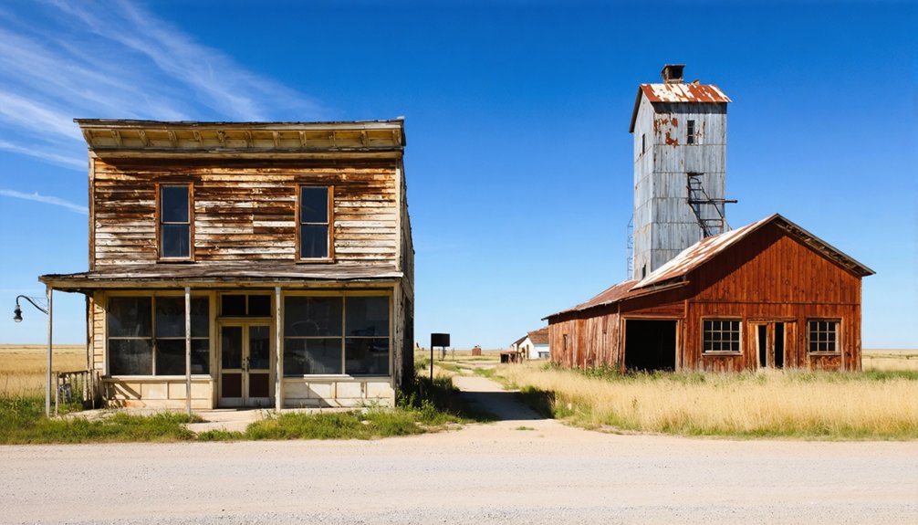
Standing sentinel over Nardin’s quiet streets, the weathered grain elevator rises like a monument to agricultural ambitions long since faded. You’ll find this solitary structure alongside scattered residential homes and the visible foundation where the schoolhouse once stood.
Though Nardin’s population dwindled to fifty souls before unincorporation in 1990, the community hasn’t surrendered its past. Every Memorial Day, residents host Heritage Days—annual commemoration events drawing former residents and history enthusiasts together. You’ll encounter western-style replica buildings constructed specifically for these gatherings, demonstrating impressive communal heritage engagement.
Multiple preserved churches still stand throughout town, maintained by descendants who refuse to let their ancestors’ legacy vanish. The remaining residents embody something increasingly rare: people who’ve chosen preservation over abandonment, proving ghost towns needn’t equal forgotten towns.
Best Route for Your Grant County Ghost Town Adventure
Planning your journey to Douglas City requires a different mindset than typical ghost town expeditions—you’re hunting for absence rather than ruins. From Luther, head 3.4 miles southwest where the Turner Turnpike slices through what once thrived as a planned African-American settlement.
Your route strategy:
- Start at Luther’s town center for fuel and supplies—last services before the backcountry
- Use Turner Turnpike highway access points (I-44) as primary navigation markers
- Locate the active Douglas church in the southeastern corner—your only visible landmark
- Combine with nearby recreation areas like Salt Fork for a full-day loop
You’ll find wooded overgrowth where 200 families once claimed their lots. No plaques commemorate the disappeared streets, no signs mark the vanished dreams—just forest reclaiming freedom’s forgotten outpost.
The Railroad’s Role in Douglas City’s Rise and Decline

When railroad surveyors tramped through the Unassigned Lands in the early 1890s, plotting the Midland Railroad’s route from Coffeyville, Kansas, to McAlester, African-American entrepreneurs saw their chance. They’d watched other settlements boom when the Missouri Pacific connected them to distant markets. Developer optimism ran so high they platted 160 acres with wide streets and donated 20 acres for a territorial school.
Without the promised economic boost from connecting to regional networks, Douglas City couldn’t sustain its 200 families. The post office closed in 1900, just six years after opening. While nearby towns thrived on Frisco and ATSF lines, Douglas City’s fate was sealed by survey stakes that led nowhere.
You’ll find no trace of that railroad today—it was never built.
Tips for Photographing Neglected Historical Sites
The crumbling foundations of Douglas City won’t photograph themselves—you’ll need more than your smartphone to capture the haunting beauty of weathered wood and rusted metal that tells this settlement’s story. Pack a wide-angle lens and tripod for long exposures during golden hour, when warm light transforms decay into art.
Your environmental impact matters here. Practice responsible exploration:
- Preserve what remains – leave artifacts untouched for future visitors
- Protect vulnerable structures – skip exact GPS coordinates in posts
- Support site conservation – document deterioration respectfully
- Research access rights – approach property owners as a documenter
Shoot low angles to emphasize the vastness of abandoned interiors. Use doorways as natural frames, and let peeling paint and rust patterns become your close-up subjects. These fragments deserve respectful documentation.
Frequently Asked Questions
Are There Any Guided Tours Available for Douglas City Ghost Town?
Guided tours unavailable for Douglas City, so you’ll explore independently through weathered streets where businesses once thrived. The historical significance of Douglas City unfolds through crumbling facades and railroad remnants—you’re free to discover its century-old secrets at your own pace.
What Amenities or Facilities Exist for Visitors in Douglas City Today?
Douglas City offers virtually no visitor amenities today—you won’t find public restrooms available or local dining options at this abandoned site. You’ll need to prepare in Leadville beforehand, packing water and snacks for your remote exploration adventure.
Is It Safe to Enter the Remaining Structures in Douglas City?
You won’t find any structures to enter—Douglas City’s completely vanished into woodland. There’re no structural integrity concerns or trespassing risks because nothing remains except trees. The active church nearby’s your only standing building worth visiting safely.
What Is the Best Time of Year to Visit Douglas City?
You’ll find fall (September-November) offers ideal conditions for exploring Douglas City’s historic significance. Crisp weather, stunning autumn foliage, and moderate precipitation create perfect photography opportunities while you’re wandering freely through this abandoned settlement’s weathered remains.
Are There Any Nearby Accommodations for Overnight Stays During the Road Trip?
You’ll find nearby hotels in Oklahoma City and McLoud starting around $66 nightly, though local campgrounds offer you more freedom to explore at your own pace. The closest accommodations sit just minutes from Douglas City’s haunting ruins.


