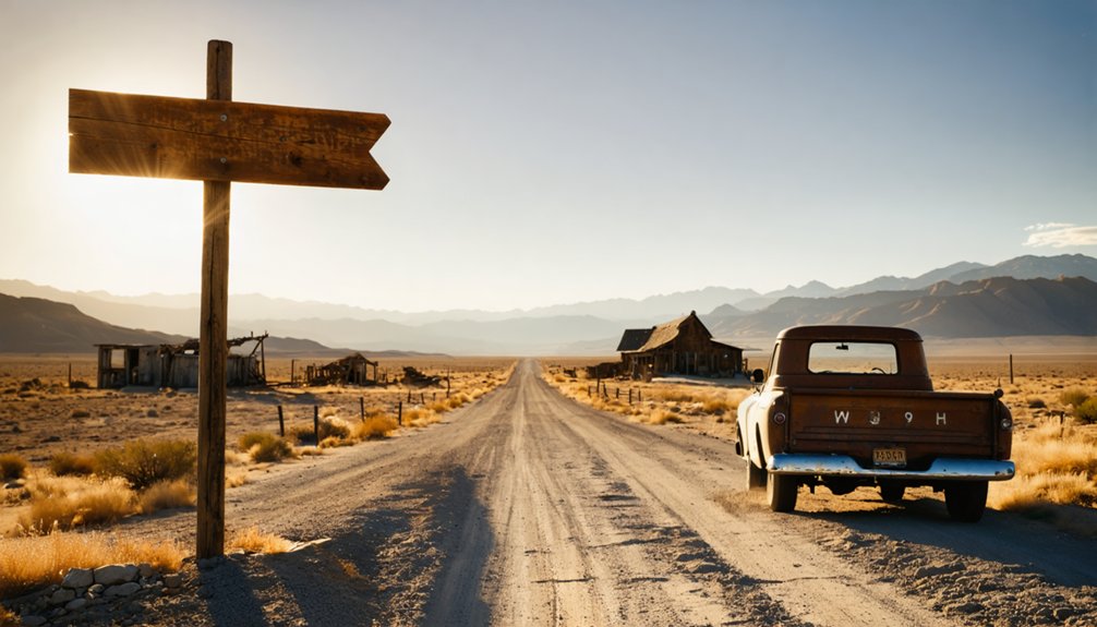
Planning your Dover ghost town adventure starts with timing your visit for spring (April to early June) when mild temperatures make exploration comfortable. Navigate to coordinates 39.2075°N, 111.89611°W near Fayette, crossing the Sevier River westward on accessible dirt roads. You’ll discover scattered foundations from the 1875 United Order settlement and a pioneer cemetery with commemorative plaque—the town’s last surviving landmark. Bring water, sturdy boots, and your camera to capture this atmospheric remnant of Utah’s communal living experiment, and you’ll uncover additional insights about maximizing your experience at this Class 2 ghost town.
Key Takeaways
- Dover was established in 1875 as a communal “Order of Enoch” settlement, now classified as a Class 2 ghost town.
- The memorial cemetery with commemorative plaque is the town’s sole surviving landmark, protecting early settler graves and stories.
- Use coordinates 39.2075°N, 111.89611°W to navigate from Fayette, crossing the Sevier River westward on rural routes.
- Visit during spring (April to early June) for mild temperatures, extended daylight, and 2WD accessibility with minimal crowds.
- Expect scattered foundations, crumbling rubble, and mining relics across a pasture landscape largely reclaimed by nature.
The History Behind Dover’s 1875 Settlement
In 1875, John E. Forsgren rode west from Santaquin with a vision of independence. He’d establish Dover on rugged hills north of Gunnison, where the Sevier River carved through Sanpete County’s wild terrain. You’ll find this ghost town positioned along what’s now State Road 28, where early religious principles guided its founding under the “Order of Enoch”—a bold experiment in communal self-reliance.
Dover emerged during the diverse settlement patterns that defined Utah’s 1870s expansion. Like Freedom near Draper, it represented pioneers answering calls for southern colonies and self-sufficiency following the Utah War. These settlers carved farms from unforgiving hillsides, building their community west of the river. Their United Order experiment challenged conventional ownership, reflecting the era’s radical pursuit of economic independence through cooperation.
What Remains at the Dover Townsite Today
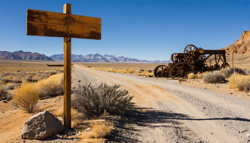
Today’s Dover townsite whispers its history through scattered foundations and crumbling rubble rather than standing structures. You’ll find nature has largely reclaimed this pasture landscape, transforming what once bustled with settlers into quiet, open terrain. The site likely holds Class 2 ghost town status, meaning you’re exploring remnants of stone and brick rather than preserved buildings.
Where Wild West ambitions once thrived, only weathered stones and reclaimed pastures remain to tell Dover’s fading story.
When you visit, expect to discover:
- Fragmentary foundations marking former homesteads and businesses
- Scattered mining relics telling stories of extraction-era ambitions
- Weathered rubble blending into the reclaimed pasture landscape
- Possible unmarked graves beyond designated cemetery boundaries
There’s no protective fencing here—just unfiltered access to authentic abandonment. You’re free to roam these grounds where Wild West dreams faded, reading history through what little remains above ground.
Exploring the Historic Cemetery and Marker
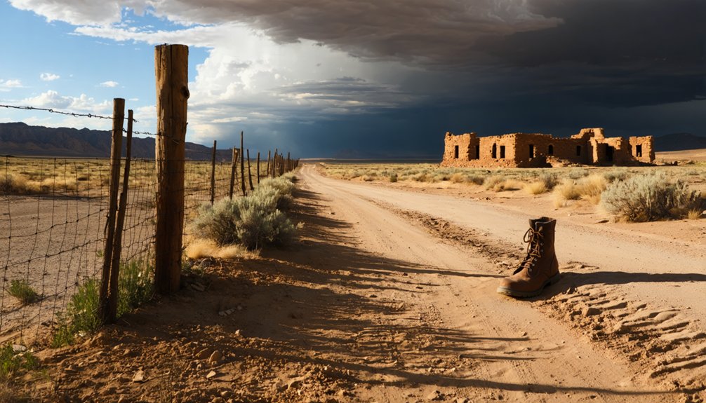
While scattered rubble marks where Dover’s buildings once stood, the town’s most significant remnant lies just west of Fayette, across the Sevier River. You’ll find the memorial cemetery—Dover’s sole surviving landmark since the town’s 1900 abandonment. The commemorative plaque significance becomes clear as you read the complete history etched within the cemetery grounds, documenting the agricultural settlement’s brief existence from 1877 to 1879.
The preserved gravesites historical value extends beyond mere markers. These early settler graves tell intimate stories of 19th-century pioneer life, making this cemetery your gateway to understanding Dover’s vanished community. Zina Pickett guaranteed its survival by purchasing and deeding the land to The Church of Jesus Christ of Latter-day Saints, protecting these pioneers’ final resting place for future explorers like yourself.
The journey to Dover’s haunting remnants begins with coordinates 39.2075°N, 111.89611°W—your digital compass to a settlement that vanished over a century ago.
Where asphalt surrenders to dust, coordinates become your only guide to a community erased by time’s indifferent hand.
You’ll approach from Fayette, crossing the Sevier River westward into Sanpete County’s backcountry where road conditions morph from paved highways to rural routes demanding attention and GPS precision.
Essential navigation markers:
- Memorial cemetery serves as your primary landmark—no buildings remain
- River crossing required from eastern approach
- Central Utah Correctional Facility and Gunnison Valley Hospital provide proximity references
- OpenStreetMap and Google Maps offer reliable coordinates
Fuel up in Gunnison before venturing out; local services disappear quickly in these Valley Mountains stretches. Your vehicle becomes your sanctuary here, carrying supplies through terrain where independence isn’t philosophy—it’s necessity.
Best Time of Year to Visit Dover Ghost Town
You’ll find spring delivers the sweet spot for exploring Dover’s weathered ruins, with temperatures climbing from the 40s in March to the comfortable mid-70s by late May. The mild conditions let you wander through crumbling stone foundations and sun-bleached timber frames without battling the brutal 100°F-plus heat that scorches southern Utah’s desert landscape come summer.
Plan your ghost town adventure between April and early June, when wildflowers accent the abandoned structures and you can actually enjoy hiking the surrounding terrain without risking heat exhaustion.
Spring Weather Offers Advantages
As winter’s grip loosens across Sanpete County, spring emerges as Dover’s most reliable visiting season. You’ll find ideal weather conditions that balance accessibility with exploration comfort, making this preferable seasonal timing for your ghost town adventure.
Spring delivers tangible advantages you can’t ignore:
- 2WD accessibility year-round — gravel roads remain stable without deep freezes or spring thaw mud
- Minimal precipitation risks — 0-30% chances mean dry trails and clear photography opportunities
- Extended daylight hours — more time to wander ruins and capture atmospheric shots
- Comfortable temperatures — daytime highs reaching the 40s-50s beat both winter’s bite and summer’s scorching heat
Low humidity levels preserve visibility across the landscape, while variable winds prevent dust buildup. You’ll experience freedom to explore Dover’s remnants without weather-imposed constraints.
Avoid Summer Heat Extremes
Summer transforms Dover’s landscape into a furnace that’ll test your endurance and potentially derail your ghost town exploration. June through August brings relentless temperatures in the high 90s°F, with July days frequently exceeding 100°F at lower elevations.
While nearby mountains hover in the cooler 70s°F, midday heat remains dangerously intense across the region. Heat related illnesses become genuine threats when you’re wandering remote ruins without accessing hydration sources readily available in developed areas.
Flash floods can strike suddenly despite scorching conditions, compounding your risks. The crowds peak during these months too, as school vacations drive families to Utah’s attractions. You’ll battle both oppressive temperatures and congested trails—neither conducive to the solitary freedom you’re seeking among Dover’s abandoned structures and desert silence.
What to Bring for Your Ghost Town Adventure
Because Dover’s remote location and rugged terrain demand self-sufficiency, your packing list should account for both desert extremes and the unpredictable nature of exploring abandoned settlements. Your specialized equipment needs include sturdy water shoes for traversing riverbeds, layered clothing for temperature swings, and high-SPF sunscreen against relentless UV exposure.
Dover’s isolation demands thorough preparation—pack for desert temperature extremes and bring specialized gear for safely exploring this abandoned frontier settlement.
Safety precautions for ruins require:
- Sturdy gloves for handling weathered artifacts and climbing debris
- Headlamp for investigating dark structures and mining shafts
- First aid kit for treating cuts from rusted metal and splintered wood
- Multi-tool for emergency repairs and safe exploration
Don’t forget navigation essentials like offline GPS and printed maps—cell service vanishes quickly. Pack two liters of water minimum, high-energy snacks, and a daypack. Your vehicle needs a full-size spare tire for unpaved approaches.
Nearby Ghost Towns Worth Adding to Your Route
While Dover anchors your journey through Utah’s abandoned settlements, two compelling destinations extend your exploration of the state’s lost communities.
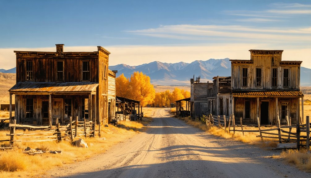
Silver City, perched in the Tintic Mining District, showcases the boom-and-bust legacy that shaped Utah’s mountain towns, with crumbling stone foundations and mine shafts still visible among the sagebrush.
Thistle, frozen in time by the catastrophic 1983 landslide and flood, offers a haunting modern ghost town where partially submerged buildings and railroad tracks emerge from the reservoir’s murky waters.
Silver City Mining Heritage
Just fifteen miles northeast of Dover, Silver City stands as the Tintic Mining District‘s founding settlement—a weathered chronicle to Utah’s second most valuable mineral empire. Founded in 1870 at Dragon Canyon‘s mouth, this pioneer camp extracted gold, silver, lead, and copper from stubborn mountain rock.
You’ll discover how mining operations challenges shaped this community’s destiny:
- 1882 – First railroad pierces isolation
- 1896 – Silver strikes trigger boom; population surges toward 1,500
- 1902 – Catastrophic fire and shaft flooding devastate operations
- 1915 – Smelter relocates; abandonment begins
Jesse Knight’s 1907 interventions—smelter, power plant, worker housing—briefly revitalized the town. Yet community social dynamics couldn’t overcome economic realities. By 1912, dropping freight rates rendered local operations obsolete. What remains today whispers of hard-won fortunes and harder-lived lives.
Thistle Flood Disaster Site
Twenty-three miles north of Dover, the ghost town of Thistle tells America’s costliest landslide story—where nature reclaimed an entire community in just three days. You’ll see submerged structures from roadside pullouts along U.S. Route 6/89, haunting reminders of April 1983’s catastrophe.
Record snowmelt and heavy rains triggered earth moving at 3.5 feet per hour, burying the 1883 railroad settlement beneath a 220-foot natural dam. The 1983 landslide impacts exceeded $200 million—22 families evacuated, Denver-Salt Lake rail service severed, highways destroyed.
Disaster response efforts included drilling drainage tunnels and rebuilding transportation routes, though the slide reactivated in 1998. You can explore this accessible ghost town from public viewpoints, witnessing how quickly civilization yields when mountains decide to move.
Photography and Exploration Tips for Dover
Capturing Dover’s haunting beauty requires strategic timing and careful preparation. Golden hour transforms cemetery ruins into ethereal subjects, while late afternoon shadows carve dramatic textures into historic foundations. You’ll want these essentials:
- Wide-angle lens for expansive townsite views against mountain backdrops
- Tripod for stabilizing low-light cemetery exposures
- Polarizing filter to tame glare on weathered markers
- Macro lens for capturing rust and erosion details
Drone photography tips reveal Dover’s full narrative—you’re permitted aerial shots revealing the 1875 layout west of Fayette. Master aerial composition techniques by framing isolated foundations within Sanpete Valley’s vastness. Navigate unpaved roads with high-clearance vehicles, wear sturdy boots on uneven terrain, and carry extra water.
Spring mornings offer crystal-clear valley views and wildflowers contrasting decayed structures perfectly.
Respecting Historic Sites: Guidelines for Visitors
While your camera preserves Dover’s visual legacy, your actions determine whether future explorers will find anything left to photograph. Respect private property access boundaries—many Utah ghost towns sit on active mining claims where trespassers face prosecution. Check signage carefully and research ownership coordinates before venturing off main roads.
Minimize historical site disturbances by sticking to established trails and avoiding new path creation. Don’t enter privately-owned structures or remove artifacts, no matter how tempting that rusted tool appears. Pack out everything you brought in, leaving zero trace of your visit.
Honor Dover’s pioneering heritage through observation rather than alteration. Make mental notes and photographs instead of physical souvenirs. These ruins survived decades of harsh elements—ensure your exploration doesn’t become the final chapter in their story.
Frequently Asked Questions
Are There Any Entrance Fees or Permits Required to Visit Dover?
No entrance fees or permits are required to visit Dover. However, you’ll want to respect private land access boundaries and connect with local community involvement efforts to explore this historic Sanpete County ghost town responsibly and freely.
Is Camping Allowed Near the Dover Ghost Town Site?
Camping isn’t available directly at Dover’s ghost town site. You’ll need to check nearby public lands for campsite availability and amenity accommodations. Always camp in designated areas following Leave No Trace principles to preserve this historic location’s freedom and accessibility.
What Cell Phone Coverage Can Visitors Expect in the Dover Area?
You’ll find minimal to no cell phone network coverage in Dover’s remote location. The area’s rugged terrain blocks signals from major carriers, and internet connectivity availability is fundamentally/basically/practically nonexistent. Download offline maps and notify contacts before venturing there.
Are Guided Tours of Dover Available Through Local Historical Societies?
Curiously, Dover, Utah doesn’t exist—you’re likely thinking of ghost towns like Grafton or Terrace. Historical society tours aren’t available there, though Utah SHPO and BLM archaeologists lead local preservation efforts at Terrace’s abandoned railroad site.
The history of Mosida, Utah ghost town adds another layer to the stories of lost communities in the region. Despite its quiet existence, Mosida played a role in the early 20th century’s development of agriculture and water management strategies in Utah. Today, remnants of this once-thriving town can be found scattered around the landscape, with enthusiasts often exploring the ruins for a glimpse into the past.
What Wildlife or Safety Hazards Should Visitors Be Aware Of?
You’ll need to watch for rattlesnakes basking on sun-warmed rocks and scorpions hiding in abandoned structures. Stay alert, wear sturdy boots, and shake out gear before use. Desert wildlife demands respect, but shouldn’t dampen your adventurous spirit.


