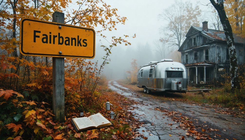
Your ghost town road trip to Fairbanks, Vermont, isn’t what you’d expect—this small town serves as your gateway to the eerie Glastenbury wilderness and Bennington Triangle mysteries rather than being abandoned itself. You’ll navigate Harbour Road from Route 9, tackling 9.8 miles of rugged terrain to reach crumbling boarding houses where loggers once lived before five people mysteriously vanished between 1945 and 1950. The journey demands proper planning, two-day expedition prep, and respect for the 22,425-acre wilderness that’s claimed countless victims over decades.
Key Takeaways
- Access Glastenbury ghost town via Harbour Road from Route 9 in Woodford, requiring a rugged hike or bumpy drive along Fire Road 71.
- Plan a two-day expedition to explore abandoned settlements with 9.8 miles and 2,450 feet of elevation gain to Goddard Shelter.
- Discover crumbling boarding houses and a converted casino, remnants of a logging community that disappeared after 1898 floods destroyed the railroad.
- The 22,425-acre Glastenbury Wilderness features challenging terrain where five mysterious disappearances occurred between 1945 and 1950.
- Winter hiking conditions significantly increase difficulty; prepare thoroughly as the remote mountain environment doesn’t forgive mistakes.
Understanding the Bennington Triangle Mystery
Deep in southwestern Vermont’s wilderness, a cluster of abandoned logging towns harbors one of New England’s most perplexing mysteries. You’ll find the Bennington Triangle centered on Glastenbury Mountain, where five people vanished between 1945 and 1950. The term, coined in 1992, describes disappearances that captivated searchers and frustrated investigators.
Five unexplained disappearances between 1945 and 1950 transformed Glastenbury Mountain into Vermont’s most haunting unsolved mystery.
Remote location factors made searches nearly impossible. When 74-year-old hunting guide Middie Rivers disappeared in 1945, he left only a single rifle cartridge.
College student Paula Welden vanished on the Long Trail despite 370 searchers combing the area. James Tedford simply disappeared from a moving bus. The only victim ever found was Frieda Langer, whose body was discovered seven months after she disappeared near Somerset Reservoir in 1950.
Unsolved theories range from serial killers to Bigfoot, though the rugged terrain likely claims most victims. Author Joseph Citro popularized the mystery by connecting these events with additional spooky tales of UFOs, hauntings, and man-eating rocks. These ghost towns, unincorporated since 1937, offer you raw wilderness exploration where mystery still lingers.
Glastenbury Ghost Town: Your First Stop
Your first stop takes you to Glastenbury, a disincorporated Vermont town where timber operations once supported 241 residents before mysterious disappearances in the 1940s and ’50s cemented its place in Bennington Triangle lore.
The logging railroad that carried charcoal and lumber through these mountains washed away in the 1898 floods, leaving behind crumbling boarding houses and a casino that locals converted from worker apartments. You’ll need to commit to either a rugged hike or a bumpy drive along Fire Road 71 to reach the main ruins, though the mountain trails reward persistent explorers with remnants of a community that vanished twice—first through economic collapse, then through something far stranger. The abandoned settlement of Fayville once stood alongside South Glastenbury as testament to the region’s bygone timber era. This roughly 36 square miles of unbroken wilderness encompasses Glastenbury Mountain, which rises to 3,747 feet above the ghost towns below.
Bennington Triangle Mystery Disappearances
Between 1945 and 1950, five people vanished without a trace in the woods surrounding Glastenbury Mountain, creating what researchers now call the Bennington Triangle.
You’ll find the stories chilling: 74-year-old hunting guide Middie Rivers disappeared in 1945, leaving only a handkerchief despite massive searches. College student Paula Welden turned a corner on Long Trail in 1946 and never emerged. Her disappearance would later inspire Shirley Jackson’s novel “Hangsaman” in 1951.
Veteran James Tedford vanished from a crowded bus in 1949, his belongings still on his seat. Eight-year-old Paul Jepson disappeared from his mother’s truck in seconds.
The Glastenbury wilderness disappearances culminated with Frieda Langer in 1950. She had fallen into a stream while camping near Somerset Reservoir and asked her cousin to wait while she changed clothes, but she disappeared in broad daylight. Searchers found her body seven months later in previously combed areas. Despite extensive investigations and missing hunter clues, authorities never determined what happened to these people.
Timber Town Decline History
Though Glastenbury never housed more than a hundred residents, the settlement’s collapse tells a familiar Vermont story—unchecked industrial ambition followed by spectacular failure. After the Civil War, logging operations impacted every corner of this mountain town.
Charcoal makers and timber workers flooded boarding houses, stripping hillsides bare while mining operations scarred the landscape below.
You’ll understand the resource extraction challenges when you hike past crumbling foundations today. The 1890s brought desperate reinvention—that old logging boarding house became a resort hotel complete with casino and trolley service. One season later, 1898 floods wiped out the railroad entirely. The town briefly incorporated in 1937, achieving official status for less than a decade before residents abandoned it completely. By 1920, fewer than twenty inhabitants remained to witness the community’s final years.
Accessing Remote Mountain Trails
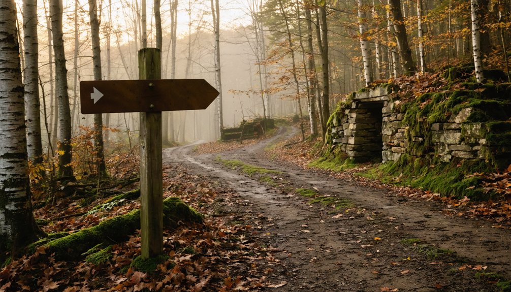
Reaching Glastonbury requires commitment—this isn’t a ghost town you’ll stumble upon during a casual Sunday drive. You’ll navigate Harbour Road from Route 9 in Woodford, covering five miles to the Long Trail parking area.
The old rail line through Bennington offers alternate access roads, though they’re rough and demanding. From the trailhead, you’re facing 9.8 miles and 2,450 feet of elevation gain just to reach Goddard Shelter, then another 0.3 miles to the summit’s observation tower (currently closed).
Winter hiking conditions transform this already challenging terrain into serious wilderness—only attempt it if you’re experienced with survival skills. The 22,425-acre Glastenbury Wilderness doesn’t forgive casual mistakes. The surrounding area encompasses a 300 square mile wilderness filled with lakes, swamps, blow-downs, and dense thickets where inexperienced hikers can easily become disoriented. Access is limited to one dirt road and a couple of sections of US Route 7. Plan for a two-day expedition to truly explore these abandoned settlements.
Fayville Settlement Remains in the Green Mountains
You’ll find Fayville tucked into the northwest corner of Glastenbury, where logging operations thrived from the 1790s until 1937.
When I visited in August 2004, old foundations still dotted the clearing alongside gnarled apple trees that once fed families, with rusted iron bands and horseshoes half-buried in the forest floor.
This settlement averaged 50 residents through the mid-1800s, all dependent on the Eagle Square Company’s sawmill that processed timber from these Green Mountain slopes.
Historic Settlement Dating 1790s
Deep in the Green Mountains’ northwest corner, the ghost town of Fayville clings to Glastenbury’s slopes as a memorial to Vermont’s ambitious 1790s settlement era. You’ll discover original settlement patterns here that emerged after the English displaced French control post-1760, when pioneer families pushed up river valleys seeking independence and opportunity. Samuel Fay’s early proprietor grants trace back to 1770s New York charters, predating the full town incorporation amid heated land disputes between New York and New Hampshire.
From the 1820s through 1860, this remote community sustained roughly fifty souls who carved out lives logging virgin timber. You’ll find their legacy scattered across the clearing—crumbling foundations, persistent apple trees, iron bands, and old horseshoes marking where free-spirited settlers once defied the wilderness.
2004 Expedition Photo Evidence
A remarkable expedition on August 14, 2004 captured what remains of Fayville’s original settlement scattered across a mountain clearing. These expedition footage frames document a ghost town frozen between the 1790s founding and Glastenbury’s 1937 disincorporation.
The 2004 photo composition reveals authentic wilderness reclaiming civilization—exactly what draws adventurers to Vermont’s backcountry.
You’ll discover evidence of habitation through:
- Crumbling stone foundations emerging from overgrown forest floor
- Wild apple trees marking forgotten homesteads and orchards
- Scattered iron bands and horseshoes rusting among leaf litter
- Relics from logging operations hinting at Eagle Square Company’s sawmill
- Eerie clearing layouts showing where fifty residents once lived
This unseen expedition footage connects you directly to one of Green Mountain’s most mysterious settlements, positioned within the infamous Bennington Triangle‘s geographic center.
Greenbank’s Hollow Mill Ruins Experience
Walking the grounds of Greenbank’s Hollow today, you’ll find yourself tracing the footsteps of 45 mill workers who once produced 700 yards of woolen cloth here daily. The Danville Historical Society’s historical preservation efforts have transformed this site into an accessible park where you can explore tangible remnants of Benjamin Greenbank’s empire.
Granite foundations and cellar holes line Joe’s Brook’s falls, while stone walls mark where the five-story woolen mill once stood. The restored 1886 covered bridge connects you to what remains of this forgotten community. These ruins tell a sobering story of wool production decline—accelerated by the 1846 tariff repeal and sealed by the devastating 1885 fire that scattered residents within three years.
The Fairbanks Museum and Paranormal Activity
Your visit to St. Johnsbury wouldn’t be complete without exploring the Fairbanks Museum, dubbed the “Nation’s Oldest Haunted House.” You’ll discover a place where reported paranormal phenomena have captivated staff and visitors alike for generations. After accumulating numerous ghostly accounts, management brought in the Atlantic Paranormal Society for answers.
The TAPS investigation details revealed compelling findings:
- Disembodied children’s laughter echoing through empty halls
- Unexplained footsteps and knocking sounds captured on overnight recordings
- Tourist cameras mysteriously malfunctioning inside the building
- Electromagnetic field detectors registering unusual activity
- Team leaders describing an “awesome” experience with unmistakable spiritual presence
While skeptics question the methodology, you’re free to form your own conclusions. The Fairbanks family’s centuries-old home offers an authentic paranormal adventure without restrictions or corporate polish.
Mapping Your Route Through Caledonia County
After satisfying your curiosity about haunted museums, it’s time to plot your course through Caledonia County’s forgotten settlements. Start by mapping Joe’s Brook from its headwaters through Danville—this single waterway powered 39 enterprises and connects your ghost town destinations like beads on a string.
You’ll find Greenbank’s Hollow northeast of St. Johnsbury, where identifying founding families like the Greenbанks reveals how company villages rose and fell. The 1885 fire ruins hide among North Central Vermont’s woods, accessible via unmarked forest roads.
South of Harvey Lake lies Mosquitoville, where marshy terrain swallowed another community whole.
Pack good boots and topographic maps—these sites don’t advertise themselves. The cellar holes and crumbling foundations reward those willing to bushwhack off-grid, tracing Vermont’s industrial ghosts.
Best Time to Visit Vermont’s Abandoned Sites
Anyone who’s slogged through Vermont’s spring mud season knows timing can make or break a ghost town expedition. You’ll find September through October delivers ideal seasonal conditions—crisp 70°F days, minimal crowds diverted to foliage routes, and leaf-covered ground revealing stone foundations at Greenbank’s Hollow.
Fall’s crisp air and thinned crowds make September through October the prime window for exploring Vermont’s forgotten settlements.
Winter’s 80-100 inches of snow buries ruins and blocks year round accessibility completely.
Optimal visiting windows:
- Summer (June-August): Dry trails, 15+ hours daylight, but peak tourist competition
- Fall (September-October): Clear skies expose hidden cellar holes before snowfall
- Winter (December-February): Solitary access if you’re snowshoe-equipped; frozen creek crossings dangerous
- Spring (March-May): Avoid entirely—impassable roads, swollen Joe’s Creek
- Early September: Sweet spot before foliage crowds arrive
Winter ice accelerates structural decay, making fall documentation essential.
Essential Gear and Safety Tips for Ghost Town Exploration

Picking the right season means nothing if you show up unprepared for Fairbank’s collapsing barns and unstable mineshafts. You’ll need a reliable headlamp, N95 respirator for mold-choked structures, and sturdy boots with ankle support. I’ve learned the hard way that gloves aren’t optional when traversing rusted metal and splintered beams.
Bring three people minimum—someone needs to handle emergencies while maintaining proper site documentation. Test every floor before committing your weight, staying close to walls rather than venturing into room centers. Urban exploration risks multiply when you’re alone, so use the buddy system religiously.
Pack offline maps, first-aid supplies, and tell someone your return time. Verify legal access beforehand. Remember: these abandoned sites reward careful observers, not reckless thrill-seekers.
Frequently Asked Questions
Are There Any Guided Tours Available for the Bennington Triangle Area?
You won’t find official guided tours for the Bennington Triangle area. However, you can arrange private ghost town excursions through local tour operators, or explore guided tours for historic sites like the Bennington Museum and Monument independently.
What Camping Options Exist Near Glastenbury and Fayville Settlement Sites?
Your wilderness escape awaits at Merck Forest’s backcountry cabins near Glastenbury’s abandoned structures and wildflower meadows. You’ll find rustic shelters sleeping 1-15 guests, with wood stoves, outhouses, and fire rings for authentic off-grid exploration.
Do I Need Special Permits to Explore These Abandoned Towns?
You won’t need special permits for most Vermont ghost towns on public land, but watch for private property restrictions around certain sites. Always respect trespassing concerns—some ruins sit on posted land where you’ll need landowner permission first.
Are the Ghost Town Sites Accessible for People With Mobility Limitations?
Wheelchair accessibility varies considerably at ghost town sites. You’ll find limited mobility considerations at maintained locations like Fairbank’s schoolhouse in Arizona, but most abandoned structures lack proper pathways, requiring careful research before visiting each destination.
What Nearby Towns Offer Lodging and Dining During the Road Trip?
St. Johnsbury, just miles away, offers 47-room Fairbanks Inn and Cherry House nearby bed and breakfast options. You’ll find Salt Bistro and local farm to table restaurants showcasing Vermont’s seasonal bounty along the scenic Passumpsic River.
References
- https://obscurevermont.com/tag/ghost-town/
- https://www.gvrhc.org/Library/FairbankGhostTown.pdf
- https://mysterioushillsdotcom.wordpress.com/2021/02/13/snapshots-of-a-ghost-town-fayville-vt-2004/
- https://www.youtube.com/watch?v=YrQNbrIrNT8
- https://africawanderlust.com/food-lifestyle/vermonts-most-haunted-places-that-locals-swear-by/
- https://www.youtube.com/watch?v=ScW-H7A8yL8
- https://urbanpostmortem.wordpress.com/tag/ghost-story/
- https://en.wikipedia.org/wiki/List_of_ghost_towns_in_Vermont
- https://vermontdailychronicle.com/secrets-of-the-bennington-triangle/
- https://sharonahill.com/triangle-trope-of-vermont-bennington/


