Planning a ghost town road trip to Gillett, Colorado means heading down Highway 67 into Teller County’s rugged Rocky Mountain terrain, where elevation tops nearly 10,000 feet. You’ll find foundation fragments, weathered railway ties, and echoes of a town that once held 1,800 residents and 25 saloons. There aren’t any visitor facilities here, so pack layers, sturdy boots, and plenty of water. Stick around, and you’ll uncover the full story behind Gillett’s dramatic rise and vanishing.
Key Takeaways
- Gillett is accessible via Highway 67 in Teller County, Colorado, reaching elevations near 9,938 feet through rugged Rocky Mountain terrain.
- Visit between June and September for the clearest road conditions, as snowpack and ice can close routes in other seasons.
- Pack layered clothing, sturdy footwear, and ample water, since Gillett has no visitor facilities or amenities on-site.
- Explore remnants like foundation fragments and weathered railway ties, though no interpretive signs exist to guide your visit.
- Extend your road trip by visiting nearby ghost towns Cripple Creek and Victor, which share Gillett’s mining boom-and-bust history.
What’s Left to See at Gillett Ghost Town Today
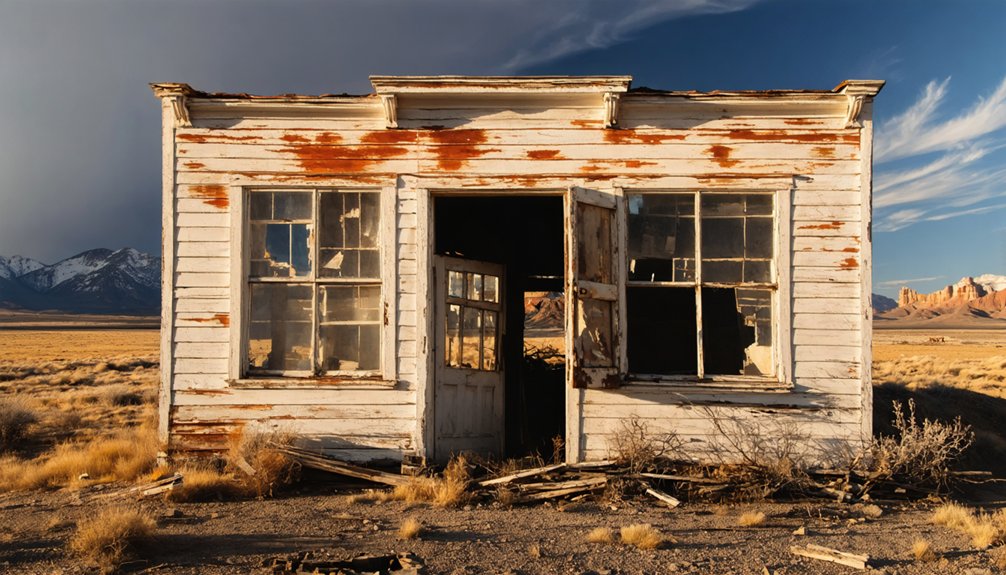
When you arrive at the site of Gillett today, don’t expect much standing ground — the 1965 flash flood stripped the town down to its bones, leaving only scattered foundation fragments and weathered railway ties as evidence of a community that once held 1,800 residents and 25 saloons.
You’ll find no interpretive signs, no restored structures, and no visitor facilities waiting for you along Highway 67.
What you do get is raw, unfiltered historical significance — a landscape that speaks honestly about the mining legacy that built and abandoned this valley.
You’re free to walk the terrain, read the silence, and piece together the story yourself.
Gillett doesn’t perform its history; it simply holds what the flood left behind and lets you draw your own conclusions.
Why Did Gillett Go From 1,800 Residents to a Ghost Town?
How does a town of 1,800 people simply vanish? Gillett’s story follows a brutal but familiar pattern. The mining boom that built it couldn’t last forever, and once the Cripple Creek district‘s richest ore dried up, the economic opportunities that drew residents disappeared just as fast.
The railroad infrastructure that once gave Gillett its identity became irrelevant as the Midland Terminal Railway lost traffic and purpose. Population decline followed swiftly, leaving behind empty saloons and quiet streets.
Then nature delivered the final blow. A 1965 flash flood tore through the valley, destroying whatever structures time had spared. No rebuilding effort followed.
Gillett’s historical significance lies precisely in this trajectory — it shows you how completely a community can unravel when its single economic foundation collapses.
How to Get to Gillett, Colorado on Highway 67
To reach Gillett, you’ll take Colorado State Highway 67, a winding mountain route that cuts through Teller County’s rugged Rocky Mountain terrain toward the historic Cripple Creek mining district.
Watch for the valley setting that gradually reveals itself as you descend, with the elevation hovering near 9,938 feet and the landscape shifting from dense timber to open, scarred hillsides that hint at the region’s industrial past.
When the ruins of foundations and scattered railway ties appear roadside, you’ve arrived at what was once a bustling rail hub of 1,800 souls.
Starting Your Highway 67 Journey
Reaching Gillett means following Highway 67 through Teller County, the same corridor that once carried miners and rail passengers into the heart of Colorado’s boom country.
You’ll wind through steep Rocky Mountain terrain at elevations approaching 10,000 feet, where scenic views of rugged valleys reward every mile you drive.
This isn’t just a road trip — it’s a passage through layers of historical significance, tracing the same route that once connected Cripple Creek‘s booming economy to the outside world.
As you approach the site, the valley opens up along the highway, giving you a clear sense of how this settlement once fit into the landscape.
Keep your eyes open — Gillett’s remnants don’t announce themselves loudly, but they’re there for those who look.
Key Landmarks Along Route
Guiding Highway 67 toward Gillett becomes easier once you know which landmarks to watch for along the way.
Keep Cripple Creek behind you as you descend into the valley, letting the mountain terrain signal your progress. Watch for remnants of the Midland Terminal Railway‘s corridor — those ghost traces of historic railways mark territory the town once depended on entirely.
As you drop in elevation, the valley opens and the mining heritage of the region becomes palpable. Scattered foundations and fractured railway ties emerge roadside, confirming you’re close.
The elevation here sits near 9,938 feet, so the thin air and steep ridgelines are landmarks themselves. Trust your instincts and the highway — Gillett doesn’t announce itself grandly, but its ruins speak clearly once you arrive.
Arriving At Gillett Site
Once Highway 67 carries you past Cripple Creek and into the descending valley, you’re entering territory that once supported 1,800 residents, 25 saloons, and a working rail corridor. Gillett history begins here, at 9,938 feet, where the Midland Terminal Railway shaped this settlement’s entire identity.
Park along the highway shoulder and step out. Beneath your boots lie the remnants of a town platted in 1894, built fast and abandoned faster.
Railroad influence dictated everything — commerce, population, survival. When the trains stopped coming, residents followed.
What remains today are scattered foundation fragments and faint infrastructure traces. The 1965 flash flood erased most structural evidence, leaving only quiet geography.
No interpretive signs greet you. No facilities exist. Just open mountain terrain and the outline of something that once mattered enormously.
Best Times of Year to Visit
Summer offers you the clearest access to Gillett’s ruins, with Highway 67 free of the snowpack and ice that routinely close high-elevation mountain roads from late fall through early spring.
You’ll find the site most navigable between June and September, when the Rocky Mountain terrain around Teller County is stable and daylight hours give you ample time to explore the scattered foundations.
If you push your visit into October or later, you’re gambling against early-season storms that can make a 9,938-foot ghost town far less welcoming than its already sparse remains suggest.
Summer For Clear Access
For the clearest access to Gillett’s scattered ruins, you’ll want to plan your visit between June and early September, when Highway 67 remains largely free of snow and the high-country terrain — sitting at nearly 10,000 feet — is navigable without the complications of winter ice or spring mud.
Summer activities like hiking through the valley and photographing remnant foundations pair naturally with the scenic views of the surrounding Rocky Mountain landscape.
- Longer daylight hours give you more time to explore the site thoroughly
- Dry trail conditions make reaching scattered ruins and railway remnants safer and easier
- Clear mountain skies enhance scenic views, rewarding photographers and history-minded travelers alike
Come prepared with water and sturdy footwear — Gillett offers no amenities, only raw, unfiltered history.
Avoid Winter Road Closures
While summer opens Gillett up beautifully, the flip side is worth knowing: winter closes it down hard. Highway 67 through Teller County becomes treacherous once snow and ice settle in, and road conditions can shift from manageable to dangerous within hours.
Winter safety isn’t optional at 9,938 feet — it’s survival logic.
Plan your visit between late May and October to keep your options open. Closures aren’t always posted in advance, and getting stranded on a mountain highway with a ghost town as your only landmark isn’t the adventure you’re after.
Check Colorado Department of Transportation road conditions before you leave. Gillett waited over a century for visitors; it’ll wait until the roads are clear enough to reach it safely.
What the Elevation and Rough Terrain Mean for Your Packing List
At nearly 10,000 feet above sea level, Gillett’s elevation will hit your lungs before you even spot the first crumbling foundation.
Elevation effects here are real — expect thinner air, stronger UV exposure, and rapid weather shifts. The rough mountain terrain demands smart packing essentials, not luxury.
Pack with intention:
- Layered clothing — mountain temperatures swing dramatically between morning and afternoon, even in summer
- Sun protection — SPF 50+, sunglasses, and a hat combat intensified high-altitude UV radiation
- Sturdy footwear — uneven ground, scattered foundation remnants, and rocky soil make ankle support non-negotiable
You’re exploring a site that nature has actively reclaimed since a 1965 flash flood stripped it bare.
Respect that wildness by arriving prepared, self-sufficient, and ready to move freely through demanding terrain.
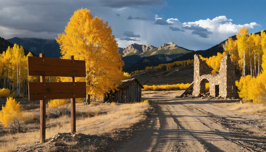
Ghost Towns Near Gillett Worth the Detour
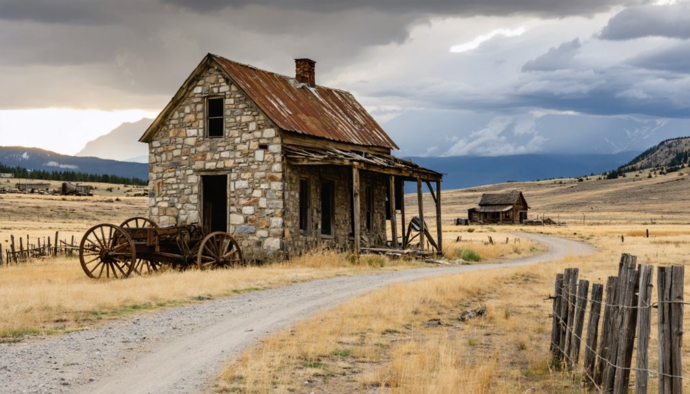
Gillett doesn’t stand alone in this stretch of Teller County — Cripple Creek sits just down Highway 67, and though it’s hardly abandoned today, its streets still carry the bones of a mining empire that once pulled millions in gold from the surrounding hills.
You’ll find ghost town history layered into every weathered storefront and repurposed rail corridor. Push further and you’ll encounter Victor, another mining boom survivor sitting just a few miles southeast.
Victor saw the same explosive growth and painful collapse that defined Gillett’s arc. Together, these stops form a coherent trail through Colorado’s frontier past.
Each town tells a slightly different version of the same story — rapid rise, swift ruin — and visiting them back to back sharpens your understanding of what this region once was.
Frequently Asked Questions
Who Was W. K. Gillett and Why Was the Town Named After Him?
W.K. Gillett was a Santa Fe Railroad passenger agent whose Historical Significance earned him a lasting tribute — you’ll find the town bearing his name stands as a bold monument to Colorado’s untamed railroad era.
How Many Saloons Did Gillett Have at Its Peak Population?
At its peak, you’d have found 25 saloons fueling Gillett’s wild saloon culture — a million drinks poured in mountain air! That historical significance tells you just how vibrantly this 1896 boomtown thrived before its dramatic decline.
What Railroad Company Was Most Associated With Gillett’s Development and Growth?
The Midland Terminal Railway shaped Gillett’s railroad history and fueled its economic impact. You’ll find this rail company drove the town’s explosive growth, connecting it to Cripple Creek’s booming mines and delivering freedom-seeking settlers to its bustling streets.
Did Any Reconstruction Efforts Occur After the Devastating 1965 Flash Flood?
No flood recovery ever came — Gillett’s community resilience had long since faded. After 1965, you’ll find nature reclaimed what remained, leaving only silent ruins that speak to a freedom-loving frontier spirit now permanently lost.
What Year Was Gillett Officially Platted as a Town in Colorado?
You’ll find that Gillett’s ghost town history began when it was officially platted in 1894, igniting rapid town development during Colorado’s thrilling Cripple Creek mining boom — a defining moment you can still feel echoing through its ruined landscape.
References
- https://999thepoint.com/the-ultimate-ghost-town-road-trip-through-colorado/
- https://tranquiltrekker.com/central-colorado-ghost-towns-independence-pass/
- https://www.4x4explore.com/dest/dest_ghst.htm
- https://en.wikipedia.org/wiki/Gillett
- https://www.nationalgeographic.com/travel/article/ghost-towns-colorado-road-trip
- https://www.facebook.com/groups/CoMinesHistory/posts/959570771389013/
- https://k99.com/haunted-road-trip-10-ghost-towns-you-can-drive-to-in-colorado/
- https://www.onlyinyourstate.com/trip-ideas/colorado/co-ghost-town-road-trip
- https://en.wikipedia.org/wiki/List_of_ghost_towns_in_Colorado
- https://travelzone.bestwestern.com/southwest-ghost-towns-road-trip/


