You’ll find Glenville’s haunting remnants on Bread and Cheese Island at coordinates 39.71261°N, 75.63993°W, where Red Clay Creek meets the Delaware River floodplain. This modern ghost town vanished after Hurricanes Floyd and Henri turned homes into waterlogged ruins, prompting complete demolition by 2005. Nature’s reclaimed the site with thick vegetation and blocked-off barriers, while nearby Stanton Estates marks civilization’s edge. Delaware’s ghost town legacy extends beyond Glenville to Sussex County’s forgotten outposts and New Castle County’s industrial ruins awaiting your exploration.
Key Takeaways
- Glenville sits on Bread and Cheese Island at coordinates 39.71261°N, 75.63993°W near Stanton in New Castle County.
- GPS navigation may fail; use Newark East USGS map or OpenStreetMap with landmarks like Stanton Estates for guidance.
- The site is fenced and blocked by authorities; no structures remain after 2005 demolition following 1999-2003 floods.
- Thick vegetation covers the reclaimed floodplain, making the abandoned community completely inaccessible to visitors.
- Extend your trip to nearby Delaware ghost towns including Pea Patch Island, Bancroft Mills, and Sussex County outposts.
The Rise and Fall of a Modern Ghost Town
Tucked away on Bread and Cheese Island where Red Clay Creek spills toward the Delaware River, Glenville once thrived as a tight-knit neighborhood just south of Route 4 near Stanton. You’d find families building lives on this low-lying terrain, accepting the risks that came with floodplain living.
Then Hurricane Floyd struck in 1999, followed by Tropical Storm Henri in 2003, turning homes into waterlogged ruins. The flood mitigation challenges proved insurmountable—nature’s fury repeatedly overwhelmed this vulnerable settlement at just 20 feet elevation.
State and local authorities stepped in, orchestrating a community resettlement process that relocated every resident by 2004. You’ll now discover empty streets where desperate messages once painted on abandoned houses begged for buyers. Demolition crews arrived in 2005, erasing what floods couldn’t destroy.
What Caused Glenville’s Abandonment
When Hurricane Floyd‘s torrential rains overwhelmed Red Clay Creek in September 1999, Glenville’s fate was fundamentally sealed—though residents wouldn’t fully realize it for another four years.
Tropical Storm Henri struck in September 2003, followed by another devastating flood just two weeks later on October 2nd. Your homes stood waterlogged and ruined, desperate messages painted on walls begging for buyers who’d never come.
The creek’s relentless overflow had transformed the floodplain into an uninhabitable wasteland. State and local authorities finally implemented government flood mitigation strategies, offering buyouts as homeowner relocation options.
Getting to the Former Community Site
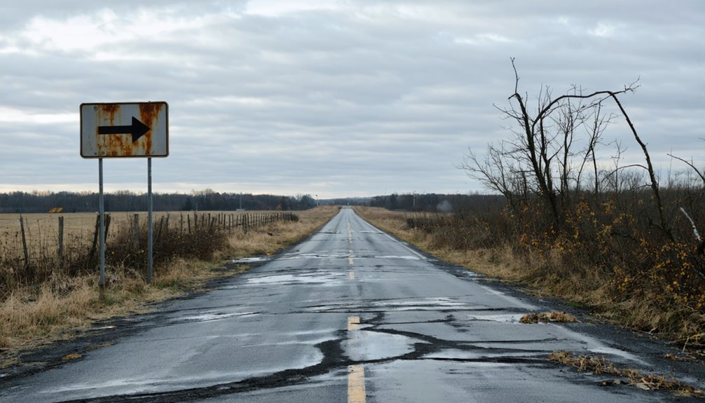
Finding Glenville’s ghostly remnants requires traversing to the eastern bank of Red Clay Creek in New Castle County, just south of where Delaware Route 4 cuts through the Stanton area. Your driving directions lead you to Bread and Cheese Island, where wetlands now dominate the landscape that once sustained this hamlet.
You’ll navigate toward coordinates 39.71261° N, 75.63993° W, though modern GPS might struggle with this unincorporated dot on the map.
Nearby landmarks include the Stanton Estates and Redmont communities, offering reference points as you venture closer. The Newark East USGS map pinpoints the location, while OpenStreetMap provides digital guidance. You’re exploring Mid-Atlantic terrain where severe hydrological conditions ultimately reclaimed what settlers temporarily tamed—a place where nature’s persistence overwhelmed human ambition.
What Remains at the Location Today
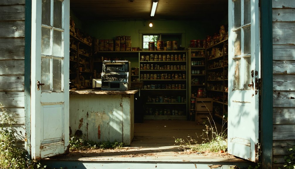
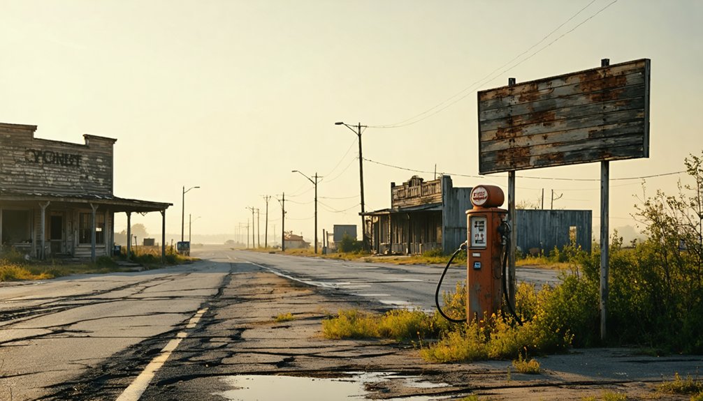
What greets visitors who reach Glenville’s coordinates today? You’ll find nature reclaiming what flooding destroyed. Fences block access to overgrown floodplain terrain where homes once stood at 39°42′45″N 75°38′24″W. The environmental impacts of flooding forced complete erasure—demolished structures, removed roads, erased community. Zero population remains on this Red Clay Creek site.
You won’t discover picturesque ruins or nostalgic remnants. Instead, thick vegetation blankets Bread and Cheese Island’s floodplain, concealing signs of former community existence. No buildings survive the 2005 demolition that followed Tropical Storm Henri’s devastating 2003 floods. Authorities maintain barriers preventing trespassing, keeping this ghost town genuinely off-limits.
The landscape tells its story through absence—what’s missing speaks louder than what remains. Only coordinates and overgrowth mark where determined residents once battled nature’s relentless waters.
Exploring Delaware’s Other Ghost Towns
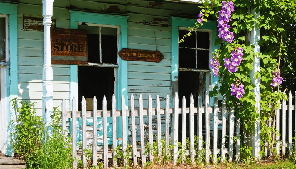
Beyond Glenville’s flooded remains, Delaware harbors scattered settlements that met similarly quiet ends. You’ll discover Sussex County’s forgotten outposts—Banning, New Market, Owens Station, Saint Johnstown, and Woodland—each holding untold stories of abandonment. Start by exploring Zwaanendael Colony’s history, Delaware’s first European settlement that vanished after violent conflicts ended this ambitious venture.
Head north to uncover Sussex County ghost towns, where you’ll find remnants like Old Furnace near Deep Creek and the 1858 Fenwick lighthouse, once oil-powered with resident caretakers. New Castle County offers Pea Patch Island‘s demolished 1813 fort and Bancroft Mills’ industrial ruins. Kent County’s tiny Andrewsville awaits your discovery, while Camp Wright’s abandoned 1916 children’s retreat and 1917 military installations stand as monuments to Delaware’s vanished communities.
Frequently Asked Questions
Is It Safe to Visit Glenville During Rainy Seasons?
Rain-slicked roads glisten with potential safety concerns as flooding transforms Delaware’s byways into hazardous waterways. You’ll face seasonal accessibility limitations during downpours, but monitoring DelDOT’s real-time maps and traffic advisories lets you navigate freely when conditions improve.
Are There Any Marked Trails or Signs at the Former Glenville Site?
You won’t find marked trails or interpretive signage at Glenville’s former site. Archaeological surveys documented ruins and artifacts, but no public pathways were developed. You’ll need to explore independently, respecting private property boundaries throughout your adventure.
Do I Need Permission to Access the Abandoned Glenville Location?
Traversing legal gray areas, you’ll need landowner permission before exploring Glenville’s ruins. Though tempting to roam freely, notifying local authorities prevents trespassing charges. Private property laws still apply to abandoned sites, protecting both you and owners.
What Nearby Amenities or Facilities Are Available for Road Trippers?
You’ll find nearby dining options ranging from casual beach eateries to high-end coastal restaurants, plus local lodging availability spans everything from Rehoboth’s boardwalk hotels to Lewes’s charming inns—perfect bases for your ghost town exploration.
Can I Find Photographs or Artifacts From Pre-Abandonment Glenville?
Pre-abandonment Glenville memories have vanished like morning mist. You won’t find photographs or artifacts easily—local historical society archives and antique shop collections remain silent on this flood-swallowed community’s existence before its 2004 abandonment.