You’ll find Greasertown’s haunting legacy submerged beneath Hogan Reservoir, about 60 miles southeast of Sacramento. Drive CA-49 and CA-4 to San Andreas, then head west four miles toward the Calaveras River. While the original settlement rests under forty feet of water, GPS coordinates (38.1817°N, 120.7694°W) guide you to scenic overlooks where you can contemplate this gold rush town’s watery grave. Nearby Carson Hill and Altaville offer accessible ruins, while historical archives reveal what the reservoir conceals.
Key Takeaways
- Greasertown lies 4 miles west of San Andreas, accessible via 60 miles southeast from Sacramento on CA-49 and CA-4.
- The original town now sits submerged beneath Hogan Reservoir, requiring visits to scenic vantage points at GPS coordinates 38.1817°N, 120.7694°W.
- Most physical remnants are underwater; exploration relies on historical documents rather than accessible archaeological artifacts from the 1850s gold rush.
- Nearby ghost towns include Carson Hill’s mine sites, Altaville’s preserved storefronts, and Camanche’s submerged remains for extended road trip itineraries.
- Exercise caution around any remaining foundation stones and depressions, as rotted boards and hidden hazards may present safety risks.
The Rise and Fall of a Gold Rush Boomtown
When gold fever gripped California in the early 1850s, prospectors scattered across the Sierra Nevada foothills like seeds in the wind, and one such cluster of fortune-seekers established themselves along the western banks of the Calaveras River. By 1851, newspapers documented this early settlement formation four miles west of San Andreas—a place that would become known as Greasertown.
The community’s trajectory shifted violently in 1852 when fire consumed the settlement. Residents blamed “Spanish incendiaries,” igniting Hispanic community tensions that erupted into forced expulsions. Despite this devastating blow, Greasertown persevered through the 1860s until mining opportunities dried up. Its final chapter came in the late 1920s when Hogan Dam’s waters swallowed what remained, leaving only memories beneath the reservoir’s surface.
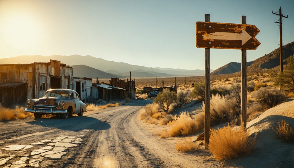
Getting There: Directions and Route Overview
Anyone hoping to explore the watery grave of Greasertown must first reach San Andreas, the Calaveras County seat that serves as your gateway to this submerged ghost town. From Sacramento, you’ll drive approximately 60 miles southeast along CA-49 and CA-4, threading through Gold Country’s rolling hills.
State Route 49 cuts through San Andreas, where you’ll head west on county roads toward the Calaveras River. The original settlement lies 4 miles west, now beneath Hogan Dam’s reservoir waters. Your GPS coordinates (38.1817°N, 120.7694°W) guide you to scenic vantage points overlooking the submerged townsite.
While no historical monuments mark Greasertown’s exact location, the dam area offers viewpoints where you can contemplate what lies beneath. Prepare for narrow rural roads and check reservoir levels before venturing out.
What Remains: Exploring the Historic Site
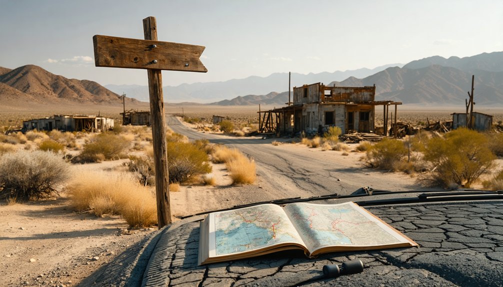
As you walk the dusty ground where Greasertown once thrived, you’ll spot scattered foundation stones marking where Main Street’s commercial buildings stood in neat rows. The most striking remnant is the crumbling outline of the three-story hotel, its partial walls and foundation testifying to the town’s brief ambitions of permanence.
Look carefully along the hillsides and gullies, and you’ll notice disturbed earth and shallow depressions—evidence of the placer mining operations that drew hundreds of fortune-seekers to this remote basin in 1850.
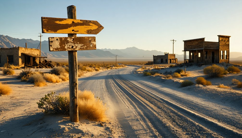
Main Street Foundation Traces
Unlike California’s preserved Main Street Program success stories with their rehabilitated storefronts and bustling businesses, Greasertown offers visitors a stark contrast—crumbling foundation stones scattered among manzanita and digger pines mark where wooden buildings once lined a dusty thoroughfare. While Main Street program history celebrates $8.5 billion in reinvestment and 7,059 reopened businesses, Greasertown’s commerce vanished with its last prospectors.
You’ll discover authentic remnants modern revitalization strategies can’t replicate:
- Moss-covered stone foundations revealing original building footprints along the forgotten main drag
- Hand-hewn timber fragments protruding from collapsed structures
- Rusted mining equipment half-buried where saloons once stood
This abandoned settlement west of San Andreas rewards explorers seeking genuine historical decay rather than sanitized preservation—raw evidence of California’s boom-and-bust mining era.
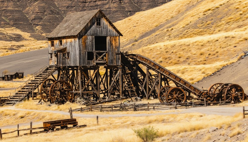
Three-Story Hotel Remnants
Beyond the scattered foundation stones and rusted equipment, Greasertown’s most imposing relic commands attention even in its ruined state. The three-story wooden hotel‘s architectural remains tell stories of California’s Gold Rush prosperity. You’ll find weathered timber frames jutting skyward, defying decades of Sierra Nevada winters.
The main floor’s footprint stretches wider than you’d expect, while second-story supports hint at the building’s former grandeur. These skeletal structures hold tremendous historical significance as one of few multi-story buildings in remote mining camps. You’re witnessing remarkable preservation—most gold country hotels collapsed or burned long ago.
Walk carefully around the perimeter; rotted boards and hidden depressions pose hazards. The hotel’s scale reveals Greasertown’s ambitions, when miners’ gold dust filled proprietors’ pockets and three-story accommodations seemed justified in these isolated mountains.
Placer Mining Evidence Visible
Standing at the marked coordinates today, you’ll confront a sobering reality: Greasertown’s placer mining evidence lies beneath Hogan Reservoir’s waters. The late 1920s dam construction permanently submerged all physical traces of the 1850s gold rush operations that once thrived along the Calaveras River’s western banks.
Historical mining reports from the 1850s-60s document the placer mining methods employed here, but you won’t find surface evidence. What remains inaccessible underwater includes:
- River gravel deposits worked by early forty-niners
- Sluice box locations along former creek channels
- Mining camp foundations from the settlement’s active years
Your exploration must rely on archived documents rather than physical artifacts. The reservoir’s depths guard Greasertown’s mining heritage, making this ghost town investigation purely historical rather than archaeological.
Nearby Ghost Towns Worth Visiting
The ghost towns surrounding Greasertown offer diverse snapshots of California’s boom-and-bust mining heritage, each telling its own tale of ambition and abandonment.
You’ll find Carson Hill’s abandoned mine sites just miles away, where massive gold strikes once drew thousands of fortune-seekers. The weathered structures and tunnels remain as evidence/record/account of that feverish era.
Altaville sits nearby, preserving its 1850s storefronts and mining relics through dedicated ghost town preservation efforts.
For underwater exploration enthusiasts, Camanche’s submerged remains lie beneath the reservoir—a town sacrificed for modern water needs. If you’re craving desert solitude, venture to Greenwater near Death Valley, where adobe ruins dot the landscape. Each destination rewards your independent spirit with authentic glimpses into California’s untamed past, accessible without crowds or restrictions.
Best Time to Visit and Road Conditions
Timing your ghost town adventure separates memorable exploration from miserable endurance tests in California’s extreme climates. Seasonal weather variations drastically affect your experience—spring’s mild temperatures make Sierra Nevada sites like Bodie accessible, while summer’s 100°F+ desert heat turns Mojave exploration into survival mode. Fall delivers cooler conditions and solitude at high-elevation locations.
Seasonal extremes define California ghost town access—spring opens mountain sites while summer desert heat demands survival-level preparation.
Road condition changes demand constant monitoring. You’ll face three critical access considerations:
- Bodie Road’s final 3 miles: Rough dirt requiring high clearance, impassable after rain or snow
- Winter closures: December-February snowpack blocks Highway 270 entirely
- No services: Zero fuel or food at remote sites
Check parks.ca.gov before departing. Highway 395 serves as your main artery, but don’t assume year-round passage. Your freedom depends on preparation.
Essential Gear and Safety Considerations
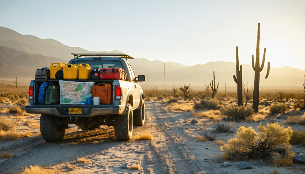
Greasertown’s remote desert location demands careful preparation before you venture down its isolated access roads. You’ll need reliable navigation tools since cell service vanishes miles before arrival, sturdy boots for scrambling over sun-baked ruins, and at least a gallon of water per person to combat the relentless Mojave heat.
Pack emergency supplies including a first-aid kit, sunscreen, and a satellite communicator—this isn’t a place where help arrives quickly if something goes wrong.
Venturing into California’s backcountry ghost towns demands navigation gear that won’t fail when cell towers disappear behind sagebrush-dotted ridges. You’ll need satellite messengers for emergency contact when exploring isolated sites, while offline GPS apps pre-loaded with routes to remote destinations keep you on track without data coverage.
Exploring ghost towns in California offers a glimpse into the state’s rich history, where relics of the past stand as silent witnesses to bygone eras. Be prepared for sudden changes in weather conditions, as these remote locations can present unexpected challenges that require adaptability and quick thinking. Equipping yourself with adequate supplies and a sense of adventure will ensure a memorable journey through these historic landscapes.
Essential communication tools for ghost town exploration:
- Two-way radios for coordinating with travel companions on unpaved approaches
- Personal locator beacons that summon help when you’re truly off-grid
- Portable power banks keeping all devices charged through multi-day adventures
Pack paper maps showing Highway 395 connections and dirt road turnoffs—your compass becomes invaluable when technology falters. These redundant systems guarantee you’ll navigate confidently through wind-swept valleys and mountain passes where self-reliance isn’t optional.
Terrain-Appropriate Footwear and Clothing
While traversing abandoned mining settlements scattered across California’s Gold Country foothills, your footwear choice separates comfortable exploration from twisted ankles and blistered feet. You’ll encounter loose gravel, crumbling foundations, and overgrown trails where sturdy hiking boots with ankle support prove essential. Terrain challenges include uneven ground concealing rusty mining debris and sudden elevation changes demanding reliable traction.
Seasonal weather dictates your layering strategy—scorching summer afternoons require moisture-wicking fabrics and sun protection, while spring mornings bring unexpected chill. Pack convertible pants that shift from cool dawn explorations to midday heat. Long sleeves protect against poison oak brushing trail edges and opportunistic blackberry brambles reclaiming ghost town perimeters. Durable materials resist tears from weathered lumber and corroded metal remnants marking Greasertown’s forgotten past.
Emergency Supplies and Water
Remote ghost towns like Greasertown don’t forgive poor planning—you’ll find yourself miles from the nearest gas station or medical facility when something goes wrong. Calaveras County’s backcountry demands self-sufficiency, especially regarding water source accessibility and extreme weather conditions that swing from scorching summers to frigid winters.
Pack these essentials for Sierra foothill exploration:
- Three gallons of water per person in BPA-free containers, plus purification tablets for emergency replenishment from questionable sources
- Comprehensive first aid kit with trauma supplies, blister treatment, and epinephrine if you’re allergic to prevalent insects
- Vehicle recovery gear including jumper cables, spare tire, tow strap, and five-gallon fuel reserve
Add UV purifiers, emergency blankets, offline GPS maps, and multi-purpose fire starters. Your independence depends on carrying what civilization won’t provide.
Historical Context: Jackson and the Amador Mining District
Nestled in the foothills of California’s Mother Lode country, Jackson began its life in 1848 as a humble watering hole for cattle near a spring and creek ford. Placer gold discoveries transformed this sleepy spot into a thriving mining hub, securing its status as Amador County’s seat in 1854.
You’ll discover that prominent families’ influence shaped Jackson’s evolution from surface mining to deep-shaft operations, with the legendary Argonaut, Kennedy, and Eureka mines plunging over 5,000 feet—the continent’s deepest. Regional economic shifts from depleted placer deposits to lode mining sustained this district through the 1890s revival, when annual production reached $2-4 million.
These powerhouse operations produced over 4.6 million ounces of gold before WWII, employing thousands of Italian, Austrian, and Serbian miners who carved their legacy into Mother Lode history.
Extending Your Gold Country Adventure
Branch out from Jackson’s historic streets to discover a treasure trove of Gold Country experiences that’ll transform your quick visit into an unforgettable exploration.
The region’s small town charm reveals itself through intimate wine tasting rooms in Murphys, where you’ll savor local vintages along Main Street, or at Feist Winery in Sutter Creek with late-night live music.
Uncover the area’s historical significance through three distinct adventures:
- Underground Expeditions: Descend into Moaning Caverns’ massive chamber or explore Black Chasm’s rare helictite crystals
- Living History: Experience Columbia’s merchants in 1850s attire and stagecoach rides through authentic gold rush structures
- River Recreation: Navigate American River’s whitewater rapids or discover Mokelumne River’s waterfalls and swimming holes
Each destination offers genuine freedom to roam beyond tourist traps into California’s authentic pioneer spirit.
Frequently Asked Questions
Are There Any Entrance Fees to Visit Greasertown Ruins?
No entrance fees exist for Greasertown’s ruins since there’s no official site. You’ll find limited parking availability along rural roads, and local amenities nearby are scarce. It’s pure backcountry exploration—freedom comes without tickets or restrictions here.
Can I Camp Overnight Near the Greasertown Site?
The abandoned Greasertown site lacks campsite amenities or official overnight facilities. You’ll need to seek nearby accommodations in Jackson, just 1.5 miles north, where modern lodging and established campgrounds offer freedom to explore this historic gold rush ruin.
Is Greasertown Suitable for Children and Elderly Visitors?
No, it’s unsuitable for children or elderly visitors. The site’s completely submerged underwater, creating limited accessibility and safety hazards. While you’d find a quiet atmosphere, there’s nothing to see—the drowning risk and terrain challenges make it dangerous.
Are Guided Tours Available for Greasertown and Surrounding Ghost Towns?
You’re barking up the wrong tree—no guided tours schedule exists for Greasertown. You’ll need your own transportation options to site, embracing self-guided exploration through this abandoned settlement’s haunting remnants along the Calaveras River’s wild, forgotten shores.
What Photography Restrictions Apply at the Historic Site?
You’ll find no photography restrictions at Greasertown’s historic site. All areas are permitted photography locations with zero restricted photography areas, so you’re free to capture every weathered building and atmospheric detail throughout this abandoned settlement.


