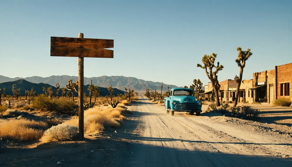
Your Sacramento Delta ghost town road trip centers on Locke, America’s last rural Chinatown, where wooden boardwalks and historic storefronts have survived since 1915. You’ll navigate levee roads through former swampland transformed by Chinese immigrant labor, then hunt for Mokelumne City’s vanished ruins near muddy channels and overgrown embankments. The route winds through farmlands where catastrophic floods once submerged entire communities, and where crumbling foundations whisper stories of Gold Rush ports that disappeared beneath rising waters. Discover what awaits along these haunted delta backroads.
Key Takeaways
- Locke, founded in 1915, is America’s last surviving rural Chinatown and a National Historic Landmark in the Sacramento Delta.
- Mokelumne City’s 1849 ruins require topographic maps and landowner permission to access via unmarked, overgrown delta terrain.
- The Delta’s catastrophic flood history includes the 1862 deluge and 1997 disaster that submerged entire towns and islands.
- Sacramento’s 1,000 miles of levees, dams, and bypasses represent 150 years of flood control infrastructure built after repeated disasters.
- Locke’s preserved Main Street features the Dai Loy Museum, boarding houses, and monuments honoring Chinese levee builders and farmworkers.
The Historic Town of Locke: A Living Chinese Heritage Site
Rising from the Sacramento Delta like a weathered monument to resilience, Locke stands as America’s last surviving rural Chinatown—a place where wooden boardwalks still creak beneath your feet and century-old storefronts lean against each other as if sharing secrets.
Founded in 1915 by Guangdong immigrants after fire destroyed nearby Walnut Grove, this autonomous community thrived on agricultural labor, transforming 500,000 swamp acres into productive farmland. At its 1920s peak, 1,500 residents populated this defiant answer to California’s racist Alien Land Laws.
Today, you’ll find four museums documenting this extraordinary legacy, though preservation challenges threaten the fragile wooden structures. The town’s National Historic Landmark status recognizes what discrimination couldn’t destroy—a record to those who built community where none was allowed.
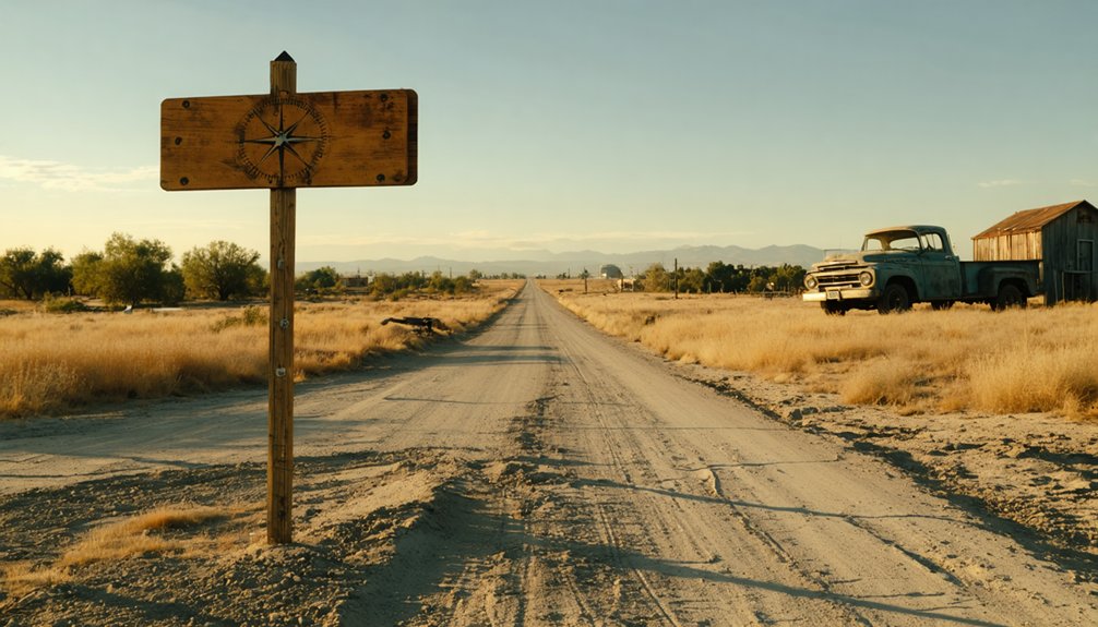
Mokelumne City’s Forgotten Ruins and Keith’s Hotel Barn
A few miles southeast of Locke, the Sacramento Delta conceals what’s left of Mokelumne City—a settlement so thoroughly erased that even its exact location sparks debate among historians.
This 1849 river port vanished beneath floods and time, leaving virtually no standing structures. What remains are earthen depressions where buildings once stood and occasional foundation fragments emerging during low water.
Local lore mentions Keith’s Hotel Barn, though documentation proves elusive. You’ll need topographic maps and permission to access private farmland where the town supposedly existed. The site offers no trails or markers—just muddy delta channels and overgrown levees.
It’s ghost town exploration at its most challenging: hunting shadows of a community that nature reclaimed completely, where discovery means piecing together whispers and landscape clues.
As you embark on this quest, you might find yourself drawn to ghost towns near north american house, each telling a unique story of the past. The remnants of once-thriving communities stand in stark contrast to the encroaching wilderness, offering a glimpse into a bygone era. The allure of these abandoned spaces lies not just in their history but also in the haunting beauty that surrounds them.
Tracing the Legendary Floods That Shaped the Delta
Stand beside the weathered levees and you’ll witness California’s perpetual battle against catastrophic floods—from the 1861-62 deluge that forced Governor Stanford to row to his own inauguration, to the 1997 disaster that wiped entire Delta towns off the map.
These earthen barriers hold back the Sacramento River’s fury, yet they’ve failed repeatedly, drowning Thornton in 1955 and submerging four Delta islands in a single storm.
Climate change now threatens to provoke floods that’ll dwarf even the legendary 45-day inundation that reshaped this landscape over 160 years ago.
Historic Flood Devastation Events
Before California’s engineers constructed their intricate web of levees, the Sacramento-San Joaquin Delta transformed into an inland sea with terrifying regularity. You’d have witnessed the catastrophic 1862 flood that submerged Mokelumne City under nine feet of water, erasing everything except Keith’s Hotel. The town never rebuilt—it simply vanished from the confluence where the Mokelumne and Cosumnes Rivers meet.
The 1850 deluge awakened Gold Rush settlers to their precarious situation, sending six feet of rushing water through Sacramento’s streets. These disasters sparked early disaster mitigation efforts, though fragmented levee systems proved woefully inadequate.
The 1986 and 1997 floods exposed these weaknesses dramatically, revealing how landscape alteration impacts couldn’t overcome nature’s raw power. Each catastrophe reshaped the Delta’s geography and tested the pioneers’ determination to inhabit flood-prone territory.
Climate Change Flood Risks
While engineers once battled seasonal floods, today’s Delta faces an existential threat that won’t recede with spring. Sea level rise tests these 1,100 miles of aging levees daily, amplifying risks when combined with storm surge and river flows.
You’re looking at a $3 billion funding crisis protecting half a million people from rupture—most concentrated in Stockton and surrounding towns facing urban population displacement. The stakes extend beyond human settlement: thousands of farmland acres face agricultural productivity impacts that would devastate California’s breadbasket. Worst-case scenarios project $1 trillion in damage across the Central Valley.
Climate scientists warn the chance of a “great flood” has doubled, while seismic activity adds another volatile element. The Delta’s precarious position demands adaptations that current infrastructure can’t guarantee.
Levee City: Sacramento’s 150-Year Battle Against the Waters
The waters came first in March 1850, when a massive storm slammed into the fledgling city and threatened to wash Sacramento back into the wilderness. Hardin Bigelow rallied volunteers against the flood—and later became mayor of what he’d saved.
You’re looking at 150 years of evolving flood mitigation strategies. Those first three-foot levees in 1851? Failed by December 1852.
The 1862 deluge forced Governor Stanford to row to his own inauguration. But Sacramento refused to surrender.
Pioneering infrastructure innovations followed: rechannelized rivers, bypasses, weirs. The 1917 Flood Control Act brought federal muscle. Folsom Dam arrived in the 1950s, saving the city in 1955. Today, roughly 1,000 miles of levees stand guard—an engineering fortress built on stubborn defiance.
Best Routes and Stops Along the Sacramento River Levee Roads
Where do you start when 35 miles of levee roads snake along the American and Sacramento Rivers, offering both historical pathways and modern recreation? Launch from Tiscornia Park at Jibboom Street, where the Sacramento River Parkway begins its 8.6-mile journey south. You’ll discover unique levee trail features like the 2-mile singletrack Levee Path and 4-mile East Levee Road, both welcoming mountain bikes and hikers.
Navigate the 2-mile Pocket neighborhood gap via Clipper Way and Riverside Boulevard, then rejoin at Garcia Bend Park. Future levee development plans promise exciting Phase 1 and 2 extensions through Pocket, connecting Garcia Bend to Zacharias Park.
Your route crosses Highway 50, Interstate 5, and Highway 99 before reaching Bill Conlin Sports Complex in Freeport—freedom carved through Sacramento’s flood-taming earthworks.
What to Expect: Ghost Towns, Farmlands, and Historic Landmarks
Beyond Sacramento’s urban sprawl, your levee road journey reveals Locke—America’s only town built and inhabited almost exclusively by Chinese immigrants. Founded in 1915 after fire destroyed Walnut Grove’s Chinese section, this National Historic Landmark showcases ethnic enclave dynamics born from necessity—land ownership laws forced builders onto George Locke’s property.
You’ll walk Main Street’s quarter-mile stretch at 13967 River Road, preserved exactly as it appeared fifty years ago. Peak population hit 600 permanent residents plus 1,000 seasonal farm laborers working Delta orchards.
Explore the Dai Loy Museum, boarding house, and monuments honoring levee builders whose 19th century migration patterns shaped California’s agricultural backbone. The Locke Historic District remains partially inhabited—living history amid recurring floods that’ve plagued these islands since the 1860s.
Frequently Asked Questions
What Role Did Chinese Laborers Play in Building the Delta Levees?
Chinese laborers were the backbone of Delta transformation, hand-digging through treacherous swamps to build 1,000+ miles of levees. You’ll discover their indispensable role conquering levee construction challenges—reclaiming 88,000 acres using only shovels, wheelbarrows, and sheer determination.
When Was Sutter County Levee District One Officially Formed?
Sutter County Levee District One’s formation became official on March 30, 1868, making Delta levee construction history as California’s first publicly-funded flood control district. You’ll find this pioneering achievement transformed how communities protected themselves from devastating Feather River floods.
How Many Residents Currently Live in the Town of Locke?
You’ll find approximately 70 residents call Locke home today—a stark contrast to population trends showing 1,000-1,500 during peak harvest seasons. The historical demographics reveal dramatic decline from its thriving Chinese American agricultural community origins.
What Happened to the Levees on Horseshoe Bend During the Floods?
You’ll discover flood impacts displaced 75 feet of levee in 1872, with breaches recurring in 1879-1880. Construction challenges intensified as wave erosion, peat subsidence, and underground cracks constantly undermined repairs, ultimately drowning livestock and submerging dwellings repeatedly.
Are There Admission Fees to Visit Locke’s Historic Sites and Museums?
You’ll find no admission fees at Locke’s historic sites—they’re completely free to explore. Historical preservation costs are covered through grants and donations, while seasonal tour schedules run Friday through Sunday, letting you wander this authentic ghost town freely.


