Base yourself in Manhattan or Council Grove, then venture into Marshall County’s gravel roads to find Marietta’s weathered remnants. You’ll discover scattered foundations, a working Farmer’s Co-op, and prairie structures that recall the town’s 1910 peak of 100 residents. Download offline maps, fuel up in Marysville, and pack emergency supplies—cell signals disappear between townships. Plan your visit during spring or fall when moderate temperatures and clear sightlines reveal the landscape’s forgotten stories, and exploring nearby ghost towns amplifies your journey through Kansas’s vanishing railroad heritage.
Key Takeaways
- Download offline maps and fill up on fuel in Marysville before heading to Marietta, as cell service and gas stations are scarce.
- Visit during spring or fall for moderate weather and better visibility of historical foundations through thinner vegetation.
- Base yourself in Manhattan or Council Grove to efficiently explore Marietta and nearby ghost towns like Bridgeport, Kipp, and Galatia.
- Pack emergency supplies including water, tools, and winter gear for unpredictable conditions on unmarked gravel roads.
- Start drives early to capture optimal photography light and complete remote routes before afternoon storms develop.
Discovering Marietta’s Forgotten History in Marshall County
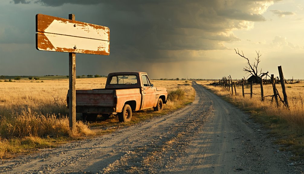
In the windswept prairies of Marshall County, Kansas, the ghost town of Marietta stands as a weathered chronicle to frontier ambition and the railroad’s fickle promises. You’ll find this abandoned settlement in Oketo Township, eight miles north of Marysville, where the Union Pacific once breathed life into dreams of prosperity.
The Marysville founding history traces back to 1849, when Francis J. Marshall established a ferry crossing that attracted pioneering families of Marshall County. While Marysville thrived as the county seat after 1855, Marietta emerged later along the railroad tracks—just two miles from Oketo.
At its peak in 1910, a hundred souls called this place home, operating telegraph and express offices.
Today, you’ll discover crumbling foundations and silence where commerce once flourished.
What Remains of Marietta Today
The skeletal remains of Marietta tell a story of gradual surrender rather than dramatic abandonment. You’ll find the Farmer’s Co-op still operating among scattered homes where a resilient few maintain their independence. Several weathered buildings stand as unintentional monuments to prairie commerce, though architectural preservation efforts remain minimal in this forgotten corner of Marshall County.
Eight miles north of Marysville along the old Union Pacific corridor, you can trace Marietta’s original layout through county roads that cut through working farmland. Cultural heritage interpretation here isn’t formalized—no visitor center guides your exploration. Instead, you’ll discover authenticity: a monument marking what once thrived, fields still producing, and the rare freedom to wander history without crowds or restrictions. The landscape itself serves as your museum.
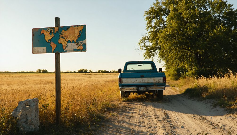
Finding Marietta requires embracing Kansas’s grid-system logic—a pattern carved into prairie farmland where county roads intersect at ruler-straight angles. Your coordinates (39.94306°N, 96.60861°W) pinpoint this ghost town in Marshall County, but reaching it demands preparation for genuine backcountry travel.
Essential Navigation Checklist:
- Download offline maps before departure—cell signals vanish between townships
- Fill your tank in Marysville—fuel station availability becomes sparse beyond county seats
- Pack emergency supplies—water, tools, and winter gear for unpredictable rural road conditions
- Travel during daylight—unmarked gravel routes lack lighting entirely
The Kansas Department of Transportation’s county maps reveal which roads remain passable versus abandoned. Winter transforms these routes into impassable clay ribbons. Your vehicle becomes your lifeline here, where freedom means self-reliance across endless horizons.
Essential Ghost Towns and Historic Sites Near Marietta
Once you’ve navigated the gravel backroads to Marietta, this ghost town becomes your launching point for exploring Marshall County’s vanished railroad settlements and beyond. Head south to discover Bridgeport and Kipp in Saline County, both extinct communities where photogenic rural landscapes frame abandoned homesteads.
For longer excursions, Barton County’s Boyd reveals crumbling structures from its Maherville days, while Galatia maintains thirty-six residents amid fading buildings.
Western adventures await in Thomas County’s Gem, where a ruined schoolhouse stands sentinel, and Logan County’s McAllaster preserves several weathered structures. Southwestern Kansas beckons with Barber County’s Lake City on the Medicine Lodge River, surrounded by Gypsum Hills ghost towns like Aetna and Sun City. Despite proximity to major cities like Salina and Manhattan, these settlements offer complete isolation for determined explorers.
Crafting Your Multi-Day Kansas Ghost Town Itinerary
Planning a multi-day exploration of Kansas ghost towns requires balancing ambitious driving routes with the reality of unmarked gravel roads and unpredictable prairie weather. Your tour planning logistics should account for long stretches without services and seasonal travel considerations that can transform accessible dirt roads into impassable mud.
Essential Multi-Day Framework:
- Base Camp Strategy – Establish lodging in Manhattan or Council Grove, minimizing backtracking while maximizing daily exploration radius
- Dawn Departures – Launch early to capture ideal photography light and complete remote drives before afternoon storms roll in
- Flexible Timelines – Budget extra hours for unexpected discoveries, detours around washed-out bridges, and conversations with locals who remember these towns’ final days
- Spring/Fall Windows – Target April-May or September-October when temperatures moderate and vegetation doesn’t obscure crumbling foundations
Frequently Asked Questions
Is Overnight Camping Allowed Near Marietta Ghost Town Ruins?
No on-site lodging options exist at Marietta’s abandoned ruins. You’ll find nearby campground amenities at Kansas state parks within driving distance, offering designated spaces where you can pitch your tent and explore freely under starlit prairie skies.
What Photography Equipment Works Best for Documenting Abandoned Kansas Structures?
Want to freeze Kansas’s fading history? You’ll need mirrorless full-frame cameras with wide-angle lenses, sturdy tripods for long exposures, and drones for aerial photography techniques—essential tools supporting historical preservation priorities while you explore abandoned structures freely.
Are There Restrooms or Facilities Available in Marshall County Rural Areas?
Public restroom availability is extremely limited in Marshall County’s rural areas. You’ll find portable toilet facilities at campgrounds like Oak Springs, but ghost town exploration requires advance planning—consider renting porta potties for extended backcountry adventures.
Can Artifacts Be Legally Collected From Ghost Town Sites in Kansas?
Treasure hunting’s allure fades when you’re collecting artifacts illegally—you’ll need landowner permission first. Kansas law protects ghost town sites, making unauthorized collection trespassing. Obtaining permissions respects history and keeps you from facing misdemeanor charges and hefty fines.
Which Mobile Carriers Have Best Signal Coverage in Remote Marshall County?
Verizon and AT&T deliver the strongest cellphone signal strength across remote Marshall County, covering nearly 99% of the territory. You’ll maintain reliable remote wireless connectivity exploring ghost towns, while T-Mobile’s coverage remains limited in these wide-open Kansas prairies.


