You’ll find Nahant’s remnants at coordinates 44°10’36″N 103°45’20″W along the Mickelson Trail near mileposts 89-92, accessible from multiple trailheads with parking facilities. This 1890s mining-turned-timber settlement retains one original house and scattered foundations across private land, requiring careful route planning and respect for property boundaries. You’ll need a trail pass for visitors 12 and older, reliable transportation, and topographic maps for this remote Black Hills location at 5,682 feet elevation. The site’s authentic abandoned atmosphere rewards those who understand the historical context and preservation principles behind what they’re witnessing.
Key Takeaways
- Access Nahant via Mickelson Trail near milepost 89-92; purchase trail passes for visitors 12 and older at trailheads.
- Bring topographic maps and use reliable vehicles, as the remote location at 5,682 feet elevation requires careful route planning.
- View one surviving original house, scattered foundations, and abandoned railroad grades across the meadow landscape.
- Respect private land designations that limit entry to certain areas of the former mining and timber settlement.
- Combine your visit with other ghost towns along the 15-trailhead Mickelson Trail for an extended exploration experience.
Getting to Nahant: Location and Access Details
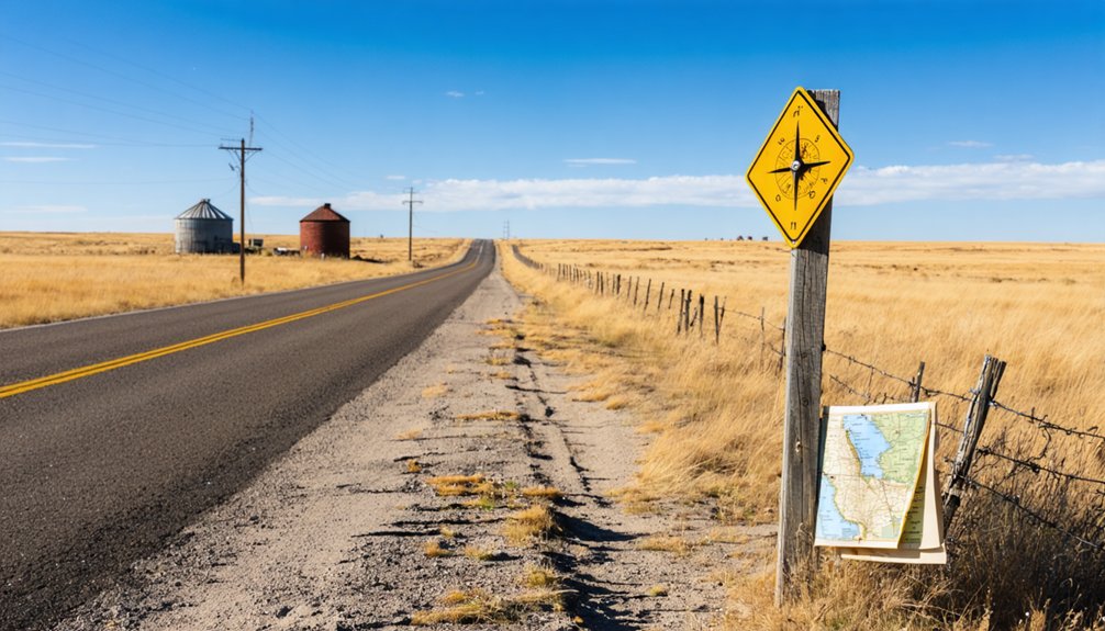
Perched at 44°10′36″N 103°45′20″W in Lawrence County’s Black Hills region, Nahant occupies a hilltop elevation of 5,682 feet above sea level. You’ll find this abandoned settlement near Montana City and Elkhorn, with precise coordinates mapping showing its decimal position at 44.1766505°N, 103.7554753°W. The USGS Nahant Quadrangle provides essential topographic reference, including the historical 1:24000 scale map from 1956.
For access details transportation, you’re operating in the America/Denver timezone (UTC-7 standard, UTC-6 daylight saving). Modern GPS waypoint data and TopoZone resources offer navigation assistance through this remote Black Hills terrain. The site’s hilltop position demands careful route planning—you’ll need reliable vehicles and current topo maps.
Dumont sits nearby at 44.2385954°N, -103.7988107°W, serving as an additional reference point for your journey into South Dakota’s western mining country.
The Rise and Fall of a Boomtown
Founded in 1890 as a mining settlement, Nahant’s economic trajectory shifted dramatically when the McLaughlin Tie and Timber Company arrived and transformed this Black Hills community into a thriving timber operation hub.
From mining camp to timber town, Nahant’s fortunes transformed when McLaughlin’s enterprise reshaped this Black Hills settlement’s economic destiny.
By May 1906, McLaughlin’s $47,000 monthly payroll supported infrastructure that included:
- A ten-mile railway line to Moskee, Wyoming for timber transport
- Educational facilities serving 40 students in 1909
- Community amenities including boarding houses and recreational facilities
- Railway expansion connecting Tinton and Cold Springs logging camps
At peak capacity, 500 residents occupied this Lawrence County settlement. However, mining operations declined as extraction became unprofitable, while McLaughlin’s financial losses from mismanagement created vulnerability. The school closed in June 1909, signaling impending economic collapse. Today, only one residence survives from this once-prosperous community.
What Remains at the Site Today
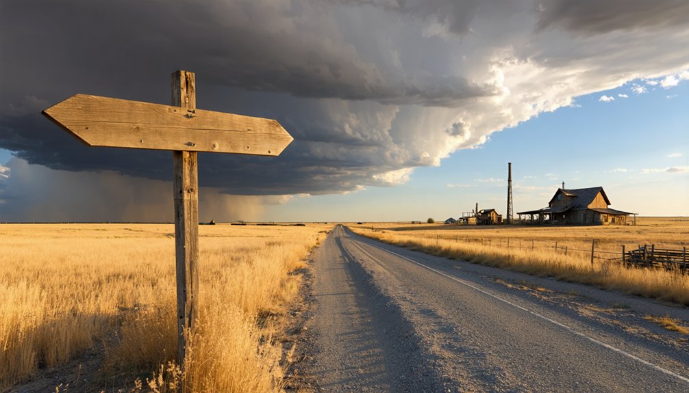
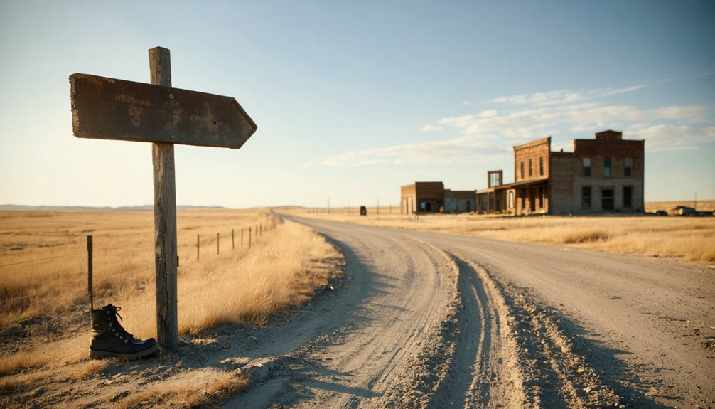
You’ll find only one original structure still standing among the scattered foundations that mark where two rows of houses once faced each other across Nahant’s main thoroughfare. The site has returned to natural meadow, with weathered footings from the post office, boarding house, and other buildings visible across the grassland at 5,682 feet elevation.
A pioneer cemetery provides the most tangible historical documentation, while wooden debris and rusted mining equipment remain scattered throughout the undisturbed prairie.
Single Original House Stands
Today, a single original house stands as the lone survivor of Nahant’s once-thriving community, surrounded by scattered foundations and weathered remnants across the remote western prairie. This structure represents all that remains from a town that once housed 500 residents across two rows of homes, a boarding house, post office, and two-room school.
The remaining house stories reveal Nahant’s dramatic transformation from bustling railroad hub to ghost town. While local preservation efforts remain minimal, you’ll discover:
- Raw historical elements undisturbed by modern development
- Visible foundations marking former building locations
- Complete absence of trails or visitor amenities
- Authentic abandoned site atmosphere preserved through isolation
You’ll find this solitary dwelling in Lawrence County’s NE1/4 Sec. 34, T3N, R3E—accessible only to dedicated explorers seeking unfiltered historical experiences.
Natural Meadow Landscape
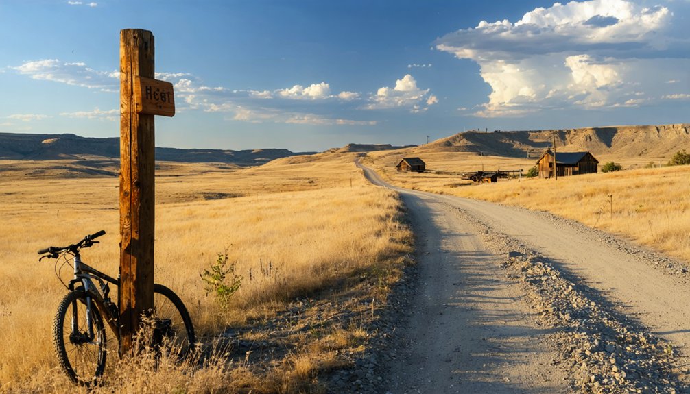
Nature has completely reclaimed Nahant’s former townsite, transforming what was once a bustling railroad community into an expansive prairie meadow at 5,682 feet elevation. You’ll find grassland covering scattered foundations, with abundant wildflowers punctuating the open landscape.
The faint sound of flowing creek water persists near the original bridge site, enhancing the serene solitude. Ponderosa pines frame the western horizon while wild vegetation conceals weathered remnants beneath lush growth.
Accessing this hilltop location requires a short hike from Mickelson Trail at coordinates 44°10′36″N 103°45′20″W. Private land designation limits entry, preserving the meadow’s undisturbed character. No marked trails or amenities exist here—just sky, open fields, and the quiet persistence of a landscape that’s reverted entirely to its natural state.
Historical Markers Present
Despite Nahant’s transformation into prairie meadow, scattered physical evidence still marks where the logging community once thrived at this 5,682-foot elevation site. You’ll discover remnants that tell the town’s story without official interpretive signage, requiring keen observation to appreciate their historical significance.
What you’ll encounter at Nahant today:
- Single surviving residence – the only intact original structure remaining
- Building foundations and ruins – scattered across the former townsite
- Abandoned railroad grades – visible traces of the McLaughlin lumber line extending toward Wyoming
- Connection to nearby Merritt – railroad grade linking the two communities
The relocated schoolhouse now stands on a ranch near Brownsville, while the post office and hotel sites exist only as memories in this wind-swept landscape.
Exploring the Mickelson Trail Connection
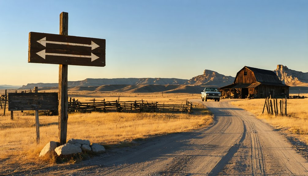
The George S. Mickelson Trail passes directly through Nahant’s remnants near milepost 89-92, offering access via one of 15 established trailheads with parking and facilities.
This section follows the original 1890-1891 Chicago, Burlington and Quincy Railroad route, complete with converted railroad bridges that once served the mining operations.
You can combine your visit to Nahant with stops at other ghost towns along the 109-mile trail, creating a multi-site exploration of Black Hills settlement history on foot, bicycle, or horseback.
Trail Access and Requirements
Adventurers seeking to explore Nahant’s remnants will find convenient access through the George S. Mickelson Trail at milepost 88.5. This trailhead offers essential amenities including parking availability, vault toilets, and tables for planning your expedition.
You’ll need a trail pass if you’re 12 or older—city limits excepted—with payment methods including self-serve stations at trailheads, vendors, state park offices, or online purchasing.
Pass Requirements:
- Daily passes cost $4, annual passes $15
- Must be carried outside city limits
- Required year-round for trail access
- Children under 12 explore freely
The crushed limestone surface accommodates hikers, cyclists, and equestrians. Mountain bikes handle the terrain best, though e-bikes are permitted. Expect gentle 2% grades averaging across most sections, with occasional steeper climbs reaching 8-12%.
Historic Bridge and Route
As you follow the Mickelson Trail toward Nahant, you’ll traverse one of South Dakota’s most ambitious preservation projects—a 109-mile corridor that’s retained over 100 historic railroad bridges from its original 1890-1891 construction. The Chicago, Burlington and Quincy’s “High Line” included hundreds of trestle bridges and four tunnels that required extensive rebuilding after the railroad’s 1983 abandonment. These historic railroad trestles now support a packed crushed limestone surface accessible to anyone seeking unregulated exploration of the Black Hills.
Fifteen trailhead parking options provide strategic access points along the route between Edgemont and Deadwood. Each station offers fundamental amenities—parking, toilets, and pass stations—without excessive infrastructure. You’re traveling the same alignment that served Burlington Northern until 1986, experiencing railroad engineering that’s endured since South Dakota’s territorial days.
Combining Multiple Ghost Towns
Beyond Nahant, you’ll discover the Mickelson Trail functions as a continuous corridor linking multiple ghost town sites across 109 miles of Black Hills terrain. This converted Burlington Northern rail line, abandoned in 1983, preserves access to mining legacies through trail infrastructure including 100 converted trestles and four rock tunnels.
Your multi-site exploration options:
- Mystic (mile 74.7): Former mining town with trailhead facilities and tunnel access
- Rochford: Mining settlement with self-bike repair stations and historical markers
- Galena: Abandoned by 1950, reached via Vanocker Canyon connection
- Pactola: Flooded town with single remaining cabin structure
The crushed limestone surface maintains gentle 1-2% grades across most stretches, enabling efficient travel between sites. You’ll traverse forests and meadows while following the original mining-era transportation route that once served Black Hills extraction operations.
Nearby Ghost Towns and Black Hills Attractions
Lawrence County’s ghost town landscape extends far beyond Nahant, encompassing at least five additional abandoned settlements within close proximity that formed part of the region’s late 19th and early 20th century timber and mining boom. You’ll find Nasby’s logging camp remnants from 1910, Nerve City 1,500 feet north of Balmoral, and New Berlin’s 1878 foundations scattered across accessible terrain. New Chicago operated as a mining hub from 1875-1877 before Maitland absorbed it, while Nugget City predates 1898.
The Black Hills’ preserved industries extend to Deadwood’s legendary Wild Bill Hickok sites, Rochford’s intact mining structures, and Mystic’s railroad supply stations. Abandoned commercial spaces dot the landscape—some ghost towns retain 15-25 buildings on private property. You’ll navigate these sites via the Mickelson Trail, respecting preservation guidelines while exploring independently.
Best Time to Visit and What to Bring
While Nahant’s remains are accessible year-round, your visit timing will substantially affect both safety and discovery potential in this exposed Black Hills terrain.
Summer through early fall offers ideal seasonal weather conditions, with June-August providing stable temperatures (mid-70s to mid-80s), extended daylight for exploration, and minimal precipitation beyond afternoon thunderstorms. September maintains manageable conditions before October snowfall restricts access.
Recommended packing essentials for ideal exploration:
- Sturdy hiking boots with ankle support for traversing foundation rubble and uneven terrain
- Water reserves (minimum one gallon per person) since no services exist within miles
- Weather-appropriate layers—temperatures fluctuate dramatically between day and night even in summer
- Documentation tools including cameras, notebooks, and GPS devices for recording structural details before further deterioration occurs
Preserving History: Safety and Etiquette Guidelines
As you approach Nahant’s scattered ruins, you’ll assume responsibility for protecting what remains of this 1890s logging community—a role that directly determines whether future visitors can experience these tangible connections to Black Hills industrial history. Visitor responsibility begins with avoiding entry into deteriorating structures—the single residence and remnants from tourist attraction attempts pose collapse hazards and contain unstable foundations.
Site preservation requires you to refrain from climbing on ruins or removing artifacts that serve as archaeological evidence of commercial, residential, and industrial activities. The South Dakota State Historic Preservation Office supports stabilization efforts through grant programs, but your careful navigation of this abandoned railroad town matters more than formal interventions.
Watch your step among scattered remains, respecting structures that document the McLaughlin lumber operation‘s regional significance.
Frequently Asked Questions
Can I Bring My Dog on the Hike to Nahant?
You’ll find zero official dog friendly trails or leash requirements at Nahant—it’s gloriously unregulated prairie. You’re responsible for your pet’s safety and behavior while exploring these fragile historical remnants. Respect the site and neighboring property boundaries completely.
Are There Camping Facilities Near the Nahant Ghost Town Site?
No public facilities availability exists at Nahant itself—it’s abandoned ruins on private land. You’ll find camping at nearby Custer Mountain Cabins or Mickelson Trail lodging. Respect abandoned building conditions; they’re fragile historic structures requiring preservation-minded exploration practices.
How Long Does the Hike From Mickelson Trail Take?
You won’t need to download any GPS apps—the trail length from Mickelson Trail to Nahant spans roughly two miles. The hiking difficulty remains moderate with gentle grades, allowing you freedom to explore this preserved ghost town at your own pace.
Is Cell Phone Service Available in the Nahant Area?
Cell phone service in Nahant’s remote area is limited. You’ll find varying cell coverage quality depending on your network provider options. Verizon and AT&T offer the most reliable 4G connections, while T-Mobile’s coverage remains spotty in this rural region.
Where Can I Purchase a Mickelson Trail Pass?
You’ll find trail permits at 15 self-serve trailhead stations, authorized vendors in Custer and Hill City, or online through South Dakota Game, Fish, and Parks. Trail accessibility’s preserved through this honor system requiring passes for ages 12+.


