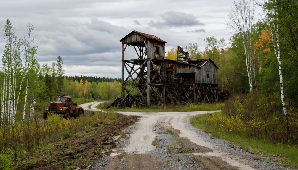
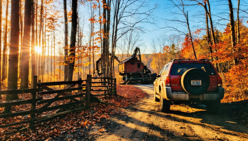
You’ll find Nonesuch Mine‘s skeletal remains half a mile from South Boundary Road in Porcupine Mountains State Park, accessible via M-64 west from Ontonagon. Seven investor groups abandoned this copper operation between 1867 and 1912, leaving behind stamp mill foundations, hoist houses, and a massive boiler house wall. Visit during May-June or September-November for ideal conditions on the historic stagecoach route. The site’s scattered machinery fragments and underground cavities tell the story of geological complexity that bankrupted every extraction attempt, while nearby White Pine and 60,000 wilderness acres offer extended exploration.
Key Takeaways
- Located in southeast Porcupine Mountains State Park, accessed via M-64 west to South Boundary Road, a 25-mile corridor.
- Half-mile trail leads to ruins including stamp mill foundations, hoist houses, boiler walls, and underground cavities from 1867-1912 operations.
- Best visiting periods: May-June for spring conditions or September-November for stable water levels and solitary exploration with moderate temperatures.
- Mine produced 25 tons of copper in 1875 but failed due to microscopic ore particles and inefficient extraction methods.
- Extend trip to White Pine’s mining site and explore Porcupine Mountains’ 60,000-acre wilderness for comprehensive regional history.
The Rise and Fall of a Copper Mining Community
When Frank Cadotte stumbled upon copper-bearing rock in the Little Iron River bed during the winter of 1865-66, he couldn’t have known his discovery would spawn decades of stubborn pursuit at the base of the Porcupine Mountains. The Nonesuch Mining Company organized in 1867, sinking two shafts beside a waterfall to extract ore from a seven-foot-wide copper bed.
Despite Thomas Hooper’s management expertise and a milling process that yielded over 2% ingot copper—surpassing most Upper Peninsula operations—mine economics proved brutal. Production peaked at just 25 ingot tons in 1875, sold at a loss as copper prices plummeted.
Labor issues and relentless costs plagued operations through 1912. Five different investor groups attempted revival, each eventually abandoning what miners called the “Sphinx of the copper district.”
What You’ll Discover at the Abandoned Mine Site
Hidden within the southeast corner of Porcupine Mountains State Park, the Nonesuch Mine site spreads across the forested banks of the Little Iron River—a half-mile trek from the trailhead that delivers you into the skeletal remains of industrial ambition.
You’ll encounter hoist houses where gravity-powered machinery hauled ore from shafts discovered by Ed Less in 1865, and the boiler house’s massive rock wall that once anchored steam engines. Ground depressions mark precipitating barrels, their metal rings rusting into earth.
The striking geological formations here—a four-foot-thick sandstone bed harboring fine copper particles within the Nonesuch Formation—proved both fortune and curse. These copper processing methods of stamp mills and gravity separators couldn’t efficiently extract the microscopic metal, ultimately bleeding profits into waste tailings and sealing the mine’s fate by 1912.
Getting There: Driving Routes From Ontonagon
Your journey to Nonesuch Mine follows routes carved by 19th-century stagecoaches and copper prospectors through Ontonagon County’s wilderness. The primary approach traverses M-64 west to South Boundary Road, a 25-mile corridor cutting through Ottawa National Forest’s remote woodlands where Little Union Gorge Falls marks your passage.
This route delivers you to the southeastern corner of Porcupine Mountains Wilderness State Park, where the abandoned mine awaits at trail’s end near the Little Iron River.
Historic Stagecoach Route Today
The stagecoach route that once carried miners and copper ore between Ontonagon and Nonesuch has evolved into modern roadways threading through the Porcupine Mountains. During peak stagecoach operations from 1879-1881, weekly transport connected these outposts, supporting a summer population exceeding 300 souls.
You’ll trace this historic corridor by taking M-107 south to South Boundary Road, then continuing four miles to the sharp curve marking the trailhead. The journey spans roughly 20-30 miles through terrain that once challenged horse-drawn coaches laden with supplies and dreams of copper wealth.
Today’s drive passes the Union Mine area where ore was processed, following the same logical path dictated by topography. Watch for the 30 mph sign at the curve—your gateway to 390,000 pounds of copper history.
Ottawa National Forest Access
Multiple routes converge on the Ottawa National Forest boundaries that frame Nonesuch Mine’s remote location, with M-64 serving as your primary artery west from Ontonagon. You’ll drive 20-25 miles through former copper country, passing company town remnants before reaching South Boundary Road‘s junction.
This corridor delivers you to trailhead parking options along Norwich Road, where FR630 marks your North Country Trail access point. Small pull-offs dot the route—one before FR630, another 1.9 miles beyond at Norwich Bluff’s base.
The 30-45 minute drive shifts from pavement to forest roads, with seasonal trail conditions varying dramatically between winter ski touring and summer’s low-water periods along Little Iron River. Each parking area grants different approaches: two-track paths to Nonesuch Falls, steep Mule Trail climbs, or rolling NCT segments through mine-scarred wilderness.
Porcupine Mountains Wilderness Approach
While M-64 provides your direct route westward from Ontonagon toward Nonesuch Mine, the Porcupine Mountains Wilderness corridor offers an alternate approach that threads through Michigan’s most dramatic backcountry.
From Silver City, you’ll swing west on M-107 before turning south onto South Boundary Road—a 25-mile artery cutting through remote backcountry access points and pristine wilderness landscapes within the 60,000-acre park. This route delivers you past Little Union Gorge Falls and Nonesuch Falls before bending south at the park’s western edge.
Here you’ll encounter the Presque Isle River’s triple cascade: Manabezho, Manido, and Nawadaha Falls. County Road 519 continues south to Wakefield, positioning you for the final approach to Nonesuch’s abandoned settlement. Note that South Boundary Road closes December 1 through late spring, transforming into snowmobile territory.
Best Time to Visit and Seasonal Considerations
Timing your visit to Nonesuch Mine requires balancing waterfall visibility against crowd levels and trail conditions across Michigan’s Upper Peninsula seasons. You’ll find ideal conditions during May through June, when spring melt guarantees Nonesuch Falls flows while accessible trailheads remain relatively uncrowded.
Late fall—particularly September through November—delivers off season exploration advantages: stable water levels, moderate temperatures, and solitary encounters with mining heritage.
Summer’s July-August window brings diminished waterfall flow as Little Iron River drops to seasonal lows, though warm weather supports extended historical investigation. Winter demands specialized gear for snow-covered two-tracks and shortened daylight. Spring’s immediate post-melt period presents muddy approaches but ensures water volume. Monitor recent rainfall patterns to optimize Little Iron River conditions, transforming your ghost town reconnaissance into an immersive historical experience free from peak-season congestion.
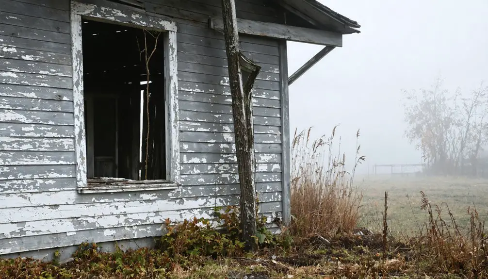
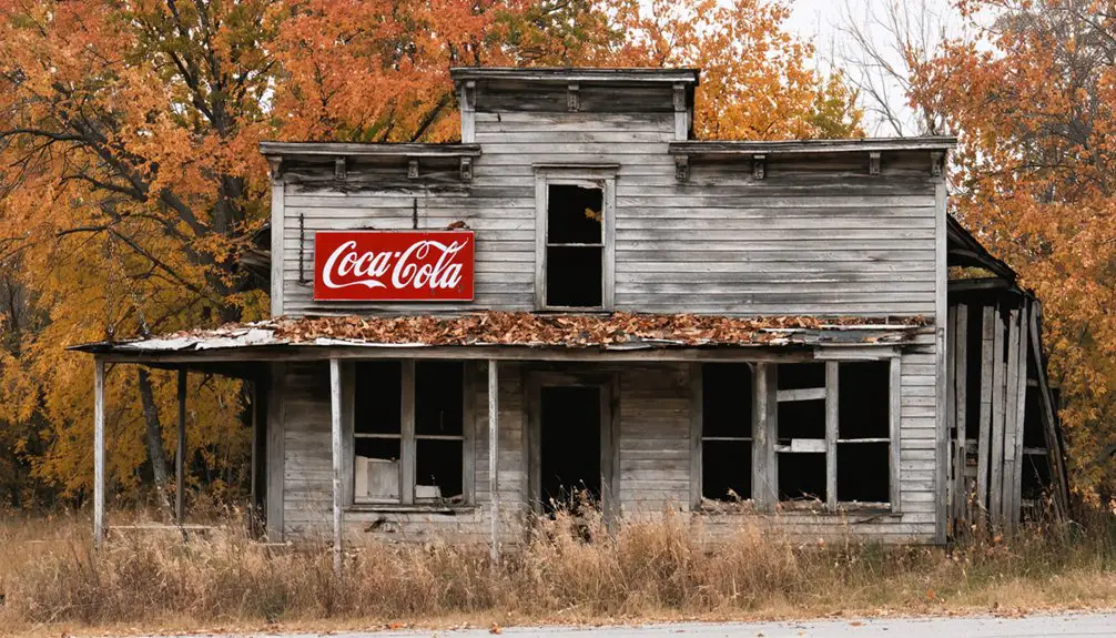
Exploring the Ruins and Historical Remnants
Hidden among Ontonagon County’s dense forest cover, Nonesuch Mine’s scattered remnants tell a story of technological ambition crushed by geological reality. You’ll find the stamp mill ruins as the site’s most prominent feature, though machinery was stripped and shipped to other Upper Peninsula operations in 1887.
Wooden building remnants display original log and shiplap construction, while metal pieces and barrel fragments lie scattered across the forest floor.
The massive underground cavity—engineered wide enough for semi-truck passage—remains accessible via the vehicle-sized incline. Forest floor subsidences mark where chemical experimentation with leaching processes ultimately failed.
Near Nonesuch Falls, you’ll spot piles of poor rock rejected during processing difficulties. These physical traces reveal why fine copper flakes embedded in sandstone defeated even the most determined mining fortunes.
Extending Your Trip: White Pine and Porcupine Mountains

Your exploration of Nonesuch’s failed copper venture positions you perfectly to witness both the twilight and apex of Michigan’s mining era within a compact 50-mile loop. Twenty miles north via M-64, White Pine’s 1952-1995 operation stands as Upper Michigan’s final major extraction site, its tailings piles marking 43 years of Precambrian ore processing.
Fifteen miles southwest, the Porcupine Mountains’ 60,000 acres offer immediate contrast—old-growth hardwood instead of excavated bedrock. The Lake of the Clouds overlook provides scenic overlook opportunities across untouched wilderness, while 90 miles of trails guarantee local wildlife encounters with black bears and wolves. You’ll navigate these shifts May through October; winter access demands snowmobiles.
The Escarpment Trail connects waterfalls to summit vistas, while area streams yield trout. Camping runs $20-35 nightly.
Frequently Asked Questions
Are There Any Entrance Fees to Access the Nonesuch Mine Site?
You’ll only need a Michigan state park pass ($12 residents, $34 non-residents) for access—no separate fees. The site offers convenient parking availability along South Boundary Road, with nearby accommodation options throughout Porcupine Mountains for your independent exploration.
Is Cell Phone Reception Available Near the Ghost Town Area?
Cellular data coverage remains unreliable in Nonesuch’s remote wilderness. You’ll find yourself disconnected from networks, so inform local emergency services of your itinerary beforehand. This isolated Upper Peninsula ghost town exists beyond modern connectivity’s reach.
What Safety Gear Should I Bring When Exploring the Mine Ruins?
You’ll need sturdy hiking boots for treacherous terrain and proper lighting equipment—because apparently, Victorian-era miners forgot to install light switches. Steel-toe protection, impact-resistant eyewear, and heavy-duty gloves complete your arsenal against Nonesuch’s crumbling hazards.
Are Guided Tours Available at the Nonesuch Mine Location?
No, guided tours aren’t offered at Nonesuch Mine. You’ll find mine site open access instead—explore the 1865 copper operation’s remains independently via a half-mile self-guided trek. There’s no schedule, no reservations, just pure exploration freedom year-round.
Can I Camp Overnight Near the Ghost Town Site?
You can’t camp at Nonesuch Mine itself—it’s within Porcupine Mountains Wilderness State Park requiring permits. Consider private property considerations around the ghost town, but nearby campground availability includes 65 designated backcountry sites throughout the park’s wilderness.