You can’t actually road trip to Ohagamiut—there are no roads within 300 miles of this vanished Kuskokwim River settlement. You’ll charter a bush plane from Bethel or Aniak, timing your journey between late May and early September when weather permits landing. Don’t expect wooden ruins or photogenic cabins; nature’s completely reclaimed this site 22 miles southeast of Marshall. What you’ll find instead is raw Alaskan wilderness where topography whispers stories that careful preparation and local knowledge help you understand.
Key Takeaways
- Ohagamiut is 300 miles from Alaska’s road system, requiring a chartered bush plane from Bethel or Aniak instead of driving.
- Visit between late May and early September when temperatures reach 60-70°F and the Kuskokwim River is ice-free for access.
- No structures remain at the abandoned village site—expect a barren landscape reclaimed by wilderness, not preserved buildings.
- Pack all essential supplies including food, fuel, emergency gear, and navigation tools; Upper Kalskag is the last resupply point.
- Weather conditions control departure times, so build flexibility into your schedule for potential flight delays or cancellations.
Understanding the History and Meaning Behind Ohagamiut
The name Ohagamiut whispers across the Kuskokwim River like a ghost from another time—derived from the Eskimo word “Okhnagamiut,” it literally means “village (people) on other side (of river).” When U.S. Geological Survey‘s R. H. Sargent recorded it on his field sheet, he documented more than geography—he captured a people’s relationship with their landscape. You’ll find this site distinguished by its right-bank position, a detail that mattered deeply to seasonal travelers traversing these waters. The village sat 22 miles southeast of Marshall, establishing its place within the broader Yukon-Kuskokwim Delta region.
Long before modern maps, remote location conditions shaped everything here. Zagoskin observed the summer camp Kvikhchagpak at Crooked Creek’s mouth in 1844, while archaeological evidence pushes human presence back to 1600 AD. Today, oral history preservation efforts and repatriation work keep these stories alive, connecting past inhabitants to future generations who remember.
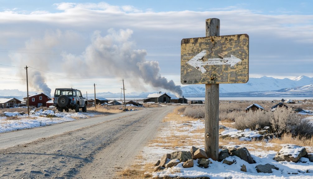
Getting to This Remote Kuskokwim River Settlement
Reaching Ohagamiut demands the kind of planning you’d associate with polar expeditions—this isn’t a destination you’ll stumble upon while browsing airline apps. You’ll charter a bush plane from Bethel or Aniak, though weather conditions dictate departure times more than any schedule.
Intermodal transportation options thin dramatically here: float planes connect to river routes during summer months when the Kuskokwim flows open and navigable. Winter transforms access entirely, as river ice roads connect settlements across the frozen Kuskokwim, offering automobile passage where water once flowed. On site infrastructure conditions? Nonexistent. The abandoned settlement offers no docking facilities, no fuel depots, no shelter beyond what nature reclaimed decades ago.
You’re packing everything—every meal, every gallon of fuel, every piece of emergency gear. Upper Kalskag, thirty river miles distant, serves as your last resupply point before venturing into genuine wilderness where self-reliance isn’t philosophy—it’s survival. Russian explorers first documented this location when they traveled down the Kuskokwim River in 1818, marking it on maps that modern adventurers still reference.
What Remains at the Abandoned Village Site Today
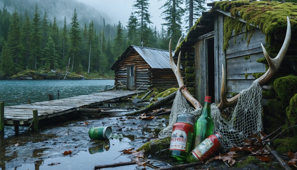
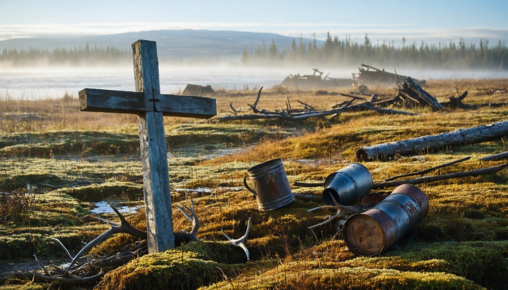
Virtually nothing marks where Ohagamiut once thrived along the Kuskokwim’s banks—this Yup’ik settlement has surrendered so completely to the Alaskan wilderness that you’ll struggle to distinguish human history from the spruce-and-willow landscape that devoured it. The site’s classified as “barren”—no standing structures, no roofless cabins, no weathered foundations jutting through moss. You’re fundamentally exploring natural landscape features reclaiming what families abandoned before 1920s homesteaders arrived.
This absence creates hauntingly powerful photographic opportunities. Instead of documenting ruins, you’ll capture wilderness triumphant—river bends where villagers once launched kayaks, forest clearings that might’ve hosted dwellings, the relentless green erasure of human occupation. Unlike semi-abandoned sites where many abandoned buildings still stand with a few remaining residents, Ohagamiut offers no such architectural remnants. The nearest reference point for your journey is Aniak, a geographical location approximately 25 miles downriver, which serves as the logical base for accessing this vanished settlement. It’s ghost town exploration stripped to its core: reading stories written in topography rather than timber.
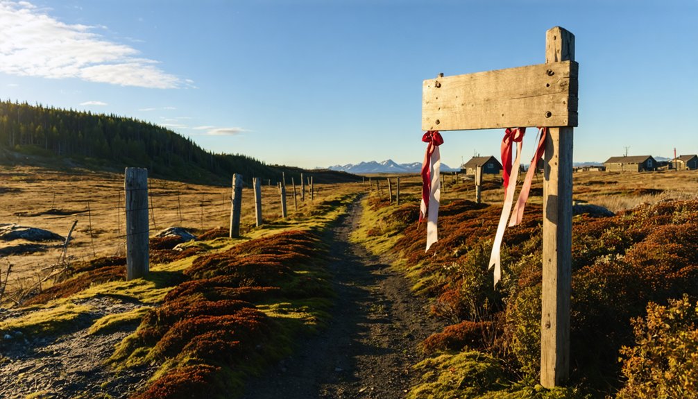
Best Time of Year to Visit Alaska’s Ghost Towns
You’ll find Alaska’s ghost towns most accessible from late May through early September, when the midnight sun stretches your exploration time to 20+ hours and melting snow opens up remote trails to places like Ohagamiut.
Summer’s 60-70°F temperatures keep hypothermia at bay while you navigate crumbling structures, though you’ll trade comfort for battling relentless mosquito swarms in the Yukon-Kuskokwim Delta.
Winter promises solitude and fewer bugs, but sub-zero cold, impassable roads, and complete darkness will likely strand you before you reach these abandoned villages. These abandoned villages often contain visible remaining buildings and roads that tell stories of Alaska’s frontier past.
Summer Access and Conditions
When ice releases its grip on the Kuskokwim River each June, a narrow window opens for reaching Ohagamiut’s abandoned shores. You’ll navigate by chartered riverboat through July and August, when stable water levels and 24-hour daylight let you explore without constraints. Charter flight transportation serves nearby Red Devil if you’re bypassing other settlements, but the river remains your primary corridor to this ghost town.
Summer subsistence activities bring the Kuskokwim alive—salmon runs peak as Yup’ik families establish fish camps along the banks. You’ll witness traditional harvest patterns that’ve sustained these waters for centuries. The nearby Red Devil community faces high mercury levels in water and land from former mining operations, a reminder of the region’s extractive history.
Temperatures hover between 50-65°F, ideal for hiking riverbank trails and photographing weathered structures. For a different coastal Alaska experience, consider guided fishing with Captain Scott in the Cook Inlet region near Seldovia. September closes the season as ice begins reclaiming what summer briefly surrendered.
Winter Travel Challenges
Between October and May, Alaska’s ghost towns transform into frozen fortresses where winter doesn’t just complicate travel—it erases it entirely. Road maintenance operations cease on remote routes like the ones approaching Ohagamiut, leaving gravel surfaces buried under impassable snowpack. You’re looking at Priority Level 5 conditions—meaning zero clearing until spring thaw.
Emergency service challenges multiply exponentially here. No plows patrol these roads. No rescue crews monitor unmaintained corridors. If you’re stranded 200 miles from civilization, you’ll wait days—not hours—for help that may never arrive. Bridge decks ice over faster than adjacent pavement, transforming crossings into skating rinks. Before departing, clear all snow from your vehicle’s windows, lights, hood and roof. These routes remain closed until spring clearing operations begin, typically when seasonal access becomes necessary for summer traffic.
Keep your tank above half-full and alert someone to your itinerary. Better yet? Save Ohagamiut for summer, when the road actually exists.
Essential Gear and Supplies for Remote Wilderness Travel
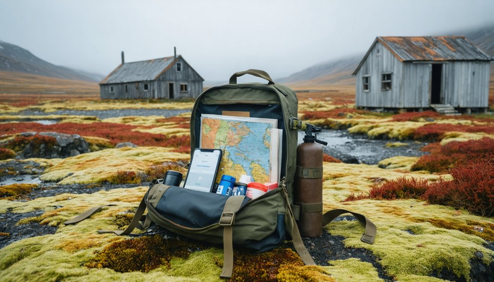
Since Ohagamiut sits roughly 300 miles from Alaska’s road system in the heart of the Yukon Delta wilderness, you’re venturing into territory where a forgotten piece of gear can mean the difference between adventure and emergency.
Your travel planning starts with thorough gear lists covering five critical systems. Pack navigation tools including GPS with extra batteries, backup paper maps, and a satellite messenger—cell service doesn’t exist here.
You’ll need a four-season tent, sleeping bag rated to -5°C minimum, and quality insulation beneath you. Layer Gore-Tex over fleece, bring waterproof boots, and pack sun protection for Alaska’s relentless summer daylight.
Don’t skimp on your first aid kit, water filtration, or emergency nutrition. The Yukon Delta offers zero resupply options. Your self-reliance isn’t philosophical—it’s survival.
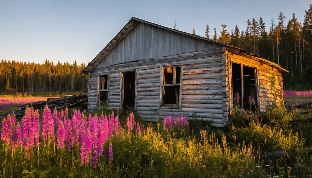
Exploring the 1895 Church and Historical Structures
The weathered logs of St. Ignatius Mission stand as western Alaska’s first Roman Catholic outpost, constructed between 1895-1896 using frontier ingenuity and raw determination. You’ll find architectural elements that tell stories of adaptation—driftwood and sod forming the original chapel-residence, later replaced by sturdy log construction that defied European conventions. This wasn’t just a church; it represented a complete triad of spiritual, educational, and medical facilities serving the Yukon-Kuskokwim Delta’s scattered communities.
The cultural significance runs deeper than religion alone. When Jesuits pushed into Central Yup’ik territory in 1889, they built connections across isolated settlements. Though fire ravaged the station in 1903 and residents eventually scattered to Kalskag, Aniak, and Bethel by the 1940s, you’re walking through the birthplace of regional transformation—a legacy, a monument, a chronicle to frontier persistence.
Nearby Marshall and Other Relocated Community Connections
Just downriver at Marshall, you’ll find where Ohagamiut’s people eventually settled after mining operations pulled them from their ancestral village in the early 1900s. The town’s 492 residents now represent a living tapestry of relocated Yup’ik families from Ohagamiut and Takchak, mixed with Inupiaq arrivals from Unalakleet who followed the same mining-era migrations.
You’re standing at the endpoint of a displacement story that transformed scattered river communities into one consolidated settlement by the late 1940s.
Marshall: Primary Relocation Destination
Most of Ohagamiut’s displaced residents eventually made their way to Marshall, a village perched on the north bank of Polte Slough where the Yukon River commands the landscape. This wasn’t random migration—Marshall absorbed entire populations from Ohagamiut and neighboring Takshak, fundamentally reshaping its community demographics. You’ll find descendants who’ve preserved their ancestral connections while forging new ties along the Yukon’s banks.
The modern administrative legacy remains visible through Ohagamiut Traditional Council‘s continued recognition within regional governance structures. They maintain representation on the Yukon-Kuskokwim Delta Subsistence Regional Advisory Commission, ensuring ancestral voices aren’t silenced by geographic displacement. Marshall’s tribal organizations advocate for rights inherited from multiple abandoned villages, proving that communities transplanted aren’t communities forgotten. Heritage transcends physical location.
Population Migration Patterns
When Ohagamiut’s residents scattered across Alaska’s vastness during the mid-20th century, they joined migration currents that Yup’ik peoples had navigated for millennia. Your ancestors traced these same paths from the Kuskokwim River to Bristol Bay around 1400 C.E., establishing settlements that swelled and contracted with changing fortunes.
The demographic decline that emptied Ohagamiut echoed prehistoric patterns of abandonment and recolonization documented throughout Alaska’s archaeological record. While Marshall absorbed most displaced families, migratory resettlements dispersed others to Bethel, Mountain Village, and beyond. You’ll find descendants everywhere—their dispersal mirrors the ancient Aglurmiut’s expansion from concentrated Nushagak Bay villages to river settlements. These weren’t random relocations but deliberate choices along ancestral routes, maintaining cultural connections across generations despite geographic separation.
Twenty-two miles downstream along the Yukon’s right bank, Marshall stands as Ohagamiut’s living continuation—a community forged from three abandoned villages whose residents converged here during the mid-20th century. You’ll find Ohagamiut, Takshak, and Pilot Station descendants maintaining traditions through cultural transmission methods that survived relocation.
The Orthodox church built at Ohagamiut in 1895-1896—before fire devastated the station in 1903—established religious patterns still evident in Marshall today.
Heritage connections you’ll discover:
- Linguistic preservation through Deg Hit’an and Yup’ik place names across the delta
- Okhnagamiut name meaning “village on other side of river” marking geographic identity
- Archaeological preservation efforts documenting pre-relocation settlement patterns
- Shared Yukon-Kuskokwim regional identity binding ghost towns to living communities
- Intergenerational knowledge transfer sustaining pre-abandonment cultural practices
Respecting Indigenous Heritage During Your Visit
Before you set foot in Ohagamiut’s haunting remains, understand that you’re entering sacred ground where the Yup’ik people lived for generations along the Kuskokwim River. This isn’t just another abandoned settlement—it’s a cultural landmark where 130 residents once thrived before relocating in the 1940s.
Respecting sacred sites means leaving everything untouched. Don’t disturb artifacts, structures, or soil. The site’s history includes painful episodes of cultural exploitation, making preservation essential. Preserving ancestral remains became federal law through NAGPRA in 1990, addressing past wrongs when collectors disturbed burial grounds.
Photograph respectfully, stay on established paths, and remember descendants still honor this place. The Crooked Creek Traditional Council actively protects Ohagamiut’s legacy. Your adventure shouldn’t compromise their heritage—experience the freedom of exploration while honoring those who called this home.
Frequently Asked Questions
Are Permits Required to Visit Abandoned Villages on Kuskokwim River Lands?
You’ll absolutely need permits—navigating Kuskokwim’s labyrinth of Native land ownership and tribal jurisdiction is essential. Abandoned site preservation rules still apply, and you’ll want proper authorization before exploring. Contact local Habitat Biologists and tribal authorities first.
Can I Camp Overnight Near the Ohagamiut Ghost Town Site?
You’ll find no official campgrounds here, but dispersed camping’s typically allowed on public lands. Check current camping regulations with local authorities first. Access considerations include extreme remoteness, weather challenges, and respecting any cultural sites you’ll encounter.
What Wildlife Dangers Should Visitors Prepare for in This Region?
Ironically, Ohagamiut’s human ghosts pose zero threat—it’s the living you’ll face. Prepare for grizzly bear encounters along coastal regions, aggressive moose during rut season, and extreme weather conditions sweeping across exposed delta terrain where freedom meets wilderness consequence.
Are Guided Tours Available for Abandoned Alaska Native Village Sites?
No guided tours exist for Ohagamiut, but you’ll find cultural preservation efforts at nearby villages where locals share the historical significance of abandoned villages. You’re free to explore independently, though respecting these sacred sites remains essential.
Is the 1895 Church Structure Safe to Enter and Photograph?
You’re playing with fire entering that 1895 church—potential structural issues from abandonment since 1983 make it dangerous. Despite its historical significance, photograph externally only. Consult Orthodox clergy or local experts before venturing inside this remote shrine.
References
- https://library.alaska.gov/hist/hist_docs/docs/asl_F901_A295_no_7_web.pdf
- https://blog.batchgeo.com/ghost-towns/
- https://en.wikipedia.org/wiki/List_of_ghost_towns_in_Alaska
- https://kids.kiddle.co/Ohagamiut
- https://alaska.guide/village/ohogamiut
- https://www.explorenorth.com/library/communities/alaska/bl-Ohogamiut.htm
- http://ankn.uaf.edu/Resources/mod/glossary/view.php?id=28&mode=cat&hook=&sortkey=&sortorder=asc&fullsearch=0&page=77
- http://www.alaskaanthropology.org/wp-content/uploads/2017/08/akanth-articles_373_v9_n2_Wooley-Thomas.pdf
- https://www.uaf.edu/apua/files/APUA13-1.pdf
- https://books.google.com/books/about/The_Ethnoarcheology_of_Crow_Village_Alas.html?id=bg4QAQAAMAAJ