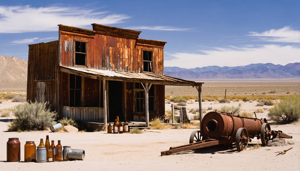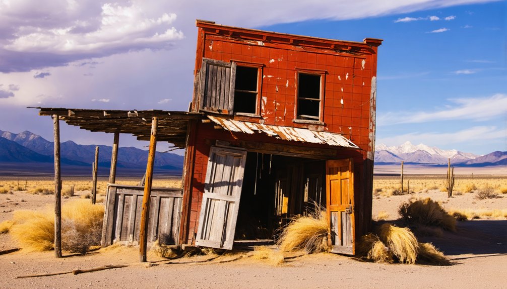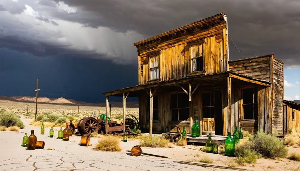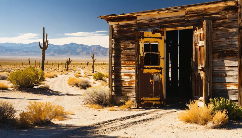
Ophir, Nevada sits 35 miles south of U.S. Highway 50, locked inside a rugged canyon at 8,134 feet. You’ll need a 4WD vehicle to reach it, but the reward is extraordinary — crumbling mill foundations, weathered grave markers, and the ghost of a silver empire that once produced over $3,000,000 in precious metals. Visit late spring through early fall for the safest road conditions. Stick around, and you’ll uncover everything you need to make this detour unforgettable.
Key Takeaways
- Ophir, Nevada sits 35 miles south of U.S. Highway 50 at 8,134 feet, requiring a 4WD vehicle to navigate the rugged terrain.
- Visit between late spring and early fall, as winter snow closes the road at this high-desert elevation.
- Key highlights include an 1865 twenty-stamp mill foundation, miners’ cabin ruins, and a historic graveyard with weathered markers.
- Pack one gallon of water per person daily, recovery gear, a first-aid kit, and offline maps due to limited cell service.
- The Murphy Mine, opened in 1864, produced over $3,000,000 in gold and silver before the town was abandoned by 1869.
What Makes Ophir, Nevada Worth the 35-Mile Detour?
Tucked 35 miles south of U.S. Highway 50, Ophir sits at 8,134 feet inside a rugged Nevada canyon, demanding effort before rewarding you with something rare.
You’ll navigate rough terrain by 4WD to reach stone foundations, a crumbling stamp mill, a mansion’s skeletal walls, and an old graveyard that still holds whispers of the 1860s silver rush.
The Murphy Mine once produced over $3,000,000 in gold and silver, and you can still walk among the remnants of that ambition.
Keep your eyes open for local wildlife moving through the pinyon and juniper landscape, and watch the canyon walls for fossil discoveries embedded in exposed rock.
Ophir doesn’t perform for tourists — it simply stands there, honest and forgotten, waiting for you to find it.
How to Reach Ophir Canyon Without Getting Your Vehicle Stuck
To reach Ophir Canyon, you’ll need a 4WD vehicle or quads — the road doesn’t forgive ordinary cars, and it’s always rough.
Head west on State Route 8A, north of State Route 92, driving 3.5 miles until the canyon’s silver-steeped history begins to materialize around you.
Your coordinates are 38.944444° N, -117.276667° W, so plug them in before you leave pavement behind.
Vehicle Requirements For Access
Reaching Ophir Canyon demands respect — the road west of State Route 8A is unforgiving, and you’ll want a 4WD vehicle or quads before you even think about making the 3.5-mile push into the canyon. High clearance isn’t optional here; it’s your ticket to freedom.
The terrain climbs toward 8,134 feet, threading through pinyon and juniper — local flora that signals you’re entering genuine high-desert wilderness. Watch carefully, because wildlife sightings happen without warning along these rocky stretches, and distractions on rough ground cost you traction.
Miners once hauled ore and heavy equipment through this same corridor in the 1860s. You’re traveling lighter, but the canyon demands the same seriousness they carried. Prepare your vehicle thoroughly, and Ophir will reward you generously.
Road Conditions And Challenges
The road into Ophir Canyon doesn’t forgive carelessness — you’re driving the same rough corridor that mule teams navigated hauling ore and mill equipment back in the 1860s, and the terrain hasn’t softened since. Expect rutted tracks, loose rock, and elevation shifts that punish unprepared vehicles. The 3.5-mile stretch west of State Route 8A demands your full attention.
Winter snow closes access entirely, so time your visit during dry months.
Local legends describe prospectors abandoning wagons on this very route when wheels gave out mid-haul. Wildlife encounters — mule deer, ravens, the occasional coyote — remind you that nature reclaimed this corridor long ago.
Stay alert, keep your speed controlled, and respect what this road demands. Freedom out here is earned, not assumed.
Navigating State Route 8A
Before you ever turn onto that 3.5-mile canyon spur, you’ll need to position yourself correctly on State Route 8A — the narrow desert corridor running north of State Route 92 that serves as your last reliable orientation point before Ophir’s ruins come into view. Watch for the junction carefully; signage out here respects no one’s schedule.
As you travel west, pinyon pines and junipers — the local flora defining this high-elevation terrain — begin closing in, signaling your elevation gain. Slow down. Wildlife sightings are common along this stretch, and the canyon rewards patience over speed.
You’re retracing the same approach miners used after silver was struck in 1863. Every curve tightens the distance between your present freedom and a forgotten past worth discovering.
The Rise and Fall of Ophir’s Silver Mining Empire
When prospector S. Boulerond struck silver in 1863, he kept it secret for a full year before the rush began. Once word escaped, the Murphy Mine opened in 1864, and Ophir exploded into life.
By 1865, a $200,000 twenty-stamp mill thundered through ore-rich rock. You can almost hear it standing among the ruins today, beneath a night sky unmarred by city light.
A $200,000 stamp mill once shook this canyon. Now only ruins remain beneath an impossibly dark sky.
But poor management gutted operations by 1869, emptying the streets almost overnight.
The 1880s brought a second boom, pushing Toiyabe City to 400 residents amid wildflower blooms brightening canyon slopes. That revival didn’t last either.
What the Murphy Mine Actually Produced : and What It Cost
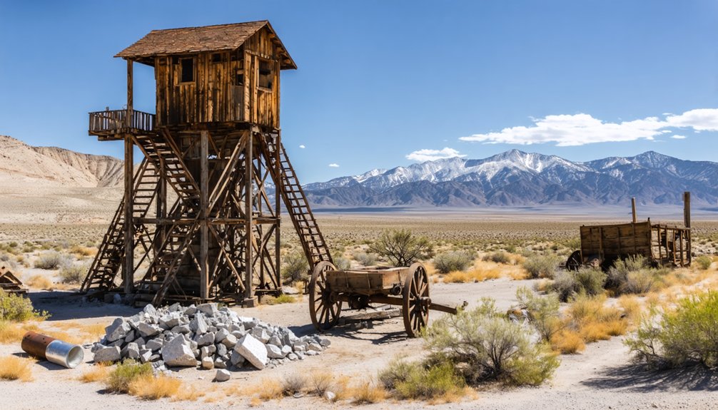
Much of what came out of the Murphy Mine reads like a fever dream of 19th-century ambition — gold and silver worth over $3,000,000, pulled from a vein that also ran thick with iron, copper, and arsenic. The costs matched that scale.
In 1865, operators sank over $200,000 into a 20-stamp mill, bold enough to house the first experimental Stetefeldt furnace — a gamble in mining technology that few places dared to make. Yet poor management gutted the operation by 1869, nearly erasing the town entirely.
Ghost town legends rarely mention the ledger books, but here they matter. You’re walking ground where fortune and mismanagement collided hard. The ruins aren’t just romantic — they’re a precise, physical record of what ambition builds and neglect destroys.
What You’ll See at Ophir: Mill Foundations, Cabin Ruins, and the Graveyard
When you walk the old townsite, you’ll find the massive stone foundations of the 20-stamp mill rising from the canyon floor like the bones of something once worth over $200,000.
Scattered across the hillside, the remnants of miners’ cabins sit quietly, their walls half-collapsed but still holding the outline of lives built around silver and hard labor.
And tucked among the ruins, you’ll come across the old graveyard — a sobering reminder that Ophir wasn’t just a mine, it was a community that lived, worked, and died here.
Massive Stone Mill Foundations
Though the town itself crumbled long ago, Ophir’s massive stone mill foundations still rise from the canyon floor with quiet authority, demanding your attention the moment you arrive. Built in 1865 at a cost exceeding $200,000, this 20-stamp mill processed millions in gold and silver pulled from the surrounding local geological formations.
You’ll walk among walls thick enough to suggest permanence, yet the silence around you tells a different story. No modern visitor facilities exist out here — just raw, unfiltered history anchored in stone.
Run your hands along the masonry and you’re touching the ambitions of an entire era. These foundations didn’t just support machinery; they supported dreams that ultimately couldn’t outlast the ore.
Scattered Miners’ Cabin Ruins
Scattered beyond the mill foundations, the remnants of miners’ cabins sit quietly across the old townsite, half-swallowed by decades of weather and neglect. You’ll wander between crumbling stone walls, imagining the men who once crowded these small rooms after brutal shifts underground.
Fragments of mining equipment occasionally surface near the foundations, silent witnesses to the labor that pulled over three million dollars from these Nevada hills.
Ghost town legends breathe easiest here, away from the grand mill ruins, where everyday life actually happened. These cabins housed the 400 souls who built Toiyabe City into something real before the ore ran thin and ambition dissolved.
You’re not just looking at rubble — you’re reading the unfiltered story of a community that the desert slowly reclaimed on its own terms.
Historic Graveyard Remains
Tucked among the stone foundations and crumbling walls, Ophir’s old graveyard pulls you into the quietest chapter of the town’s story. These graves mark the lives of those who chased silver dreams through Ophir Canyon’s rugged terrain. Local flora — pinyon pines and junipers — now frame these resting places, softening the solitude with wild Nevada beauty.
- Weathered markers stand as silent witnesses to Ophir’s boom-and-bust cycle
- Wildlife sightings, including mule deer and ravens, are common among the ruins
- The graveyard sits near scattered stone walls, connecting death to daily frontier life
- No fences or guardrails interrupt your direct connection to this raw history
You’ll leave feeling the weight of those forgotten lives long after the canyon disappears from your rearview mirror.
The Best Time of Year to Drive Into Ophir Canyon
Because the road into Ophir Canyon is always rough, timing your visit smartly makes the difference between an adventure and a recovery bill. Aim for late spring through early fall, when snow has retreated from the 8,134-foot elevation and the dirt road stays firm enough for your 4WD.
Summer mornings offer ideal conditions for photography tips worth following — soft golden light hits the stone mill foundations beautifully before midday heat sets in.
You’ll also catch local wildlife moving through the pinyon and juniper terrain at dawn, deer and raptors threading between the ruins.
Avoid winter entirely. Snow closes the canyon hard. Spring mud isn’t much friendlier.
Come dry, come prepared, and Ophir rewards you with solitude that most ghost towns can’t deliver anymore.
What to Pack for a Remote Ghost Town Visit in Nevada
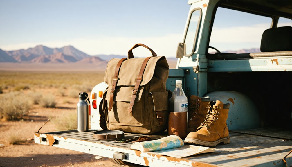
Reaching Ophir at 8,134 feet over 3.5 miles of rough canyon road means you’re on your own if something goes wrong — so pack like it. No services exist out here, and the pinyon-juniper terrain demands respect.
Time your visit during the wildflower bloom season for rewarding scenery, but prepare for unpredictable high-elevation weather regardless.
- Camping essentials: water (minimum one gallon per person daily), a first-aid kit, and emergency tools
- Navigation: downloaded offline maps and printed coordinates — 38.944444° N, -117.276667° W
- Vehicle recovery gear: tow straps, a hi-lift jack, and a full-size spare
- Layered clothing: temperatures drop sharply after sunset at elevation
The miners who built Ophir survived on grit and preparation. You should arrive the same way.
Staying Safe on the Road Into Ophir Canyon
The 3.5-mile canyon road into Ophir doesn’t forgive overconfidence — miners hauled 20-stamp mill equipment up these grades in the 1860s, and the terrain hasn’t softened since. You’ll need a 4WD vehicle or quad to navigate the rough passage west of State Route 8A safely.
Watch the local flora closely — pinyon pines and junipers signal elevation shifts where the road narrows and loose rock increases. Wildlife sightings are common in these isolated canyons, so slow down around blind corners where deer cross unexpectedly.
Travel during dry seasons when runoff isn’t undermining the trail. Carry recovery gear, extra water, and a paper map — cell service disappears fast out here. The freedom you’re chasing is real, but preparation earns it.
Frequently Asked Questions
Is Camping Overnight Permitted Within Ophir Canyon or Near the Ruins?
The knowledge doesn’t cover camping restrictions or overnight permits specifically. You’ll want to contact Nye County or the BLM directly before you bed down among Ophir’s storied stone ruins and whispered silver history.
Are There Any Guided Tours Available for Visiting Ophir Ghost Town?
Like a lone prospector charting unmarked trails, you’ll find no guided tours here. Ophir’s historical preservation and photography opportunities await your independent spirit — saddle up your 4WD and write your own adventure through these evocative ruins.
Can Visitors Legally Collect Mineral Samples or Artifacts From the Site?
You shouldn’t collect artifacts or minerals without checking federal and Nevada mineral regulations first. Artifact restrictions protect Ophir’s haunting legacy — those stone foundations and scattered remnants aren’t yours to pocket; they’re history’s whisper, calling you to *witness*, not take.
Is There Cell Phone Service or Emergency Communication Available at Ophir?
Don’t count on cell coverage at 8,134 feet in Ophir’s remote canyon. Imagine a solo explorer stranded there — you’d need a satellite communicator for emergency communication. Bring one; freedom demands preparation.
Are Pets Allowed on the Trail Leading Into Ophir Canyon?
No official restrictions exist on pets, but you’ll want to prioritize pet safety on Ophir Canyon’s brutal trail conditions—rough terrain, rugged isolation, and wild history demand you keep your loyal companion close and prepared.
References
- https://www.youtube.com/watch?v=ApPwVjKuDzA
- https://shpo.nv.gov/nevadas-historical-markers/historical-markers/ophir
- https://www.youtube.com/watch?v=LAh3hdh3QLs
- https://www.ghosttowns.com/states/nv/ophir.html
- https://www.destination4x4.com/ophir-nye-county-nevada-ghost-town/
- https://www.youtube.com/watch?v=d3lw5Iur7F8
- https://www.nevadaghosttownsandmininghistory.com/portfolio-2/ophir-canyon