You’ll find Pantano’s haunting ruins off I-10 at mile marker 291.32, where a weathered water tower and scattered foundations mark what remains of this once-bloodied frontier outpost. Take the Marsh Station Road exit in eastern Pima County, and you’ll navigate 9.23 miles of well-maintained dirt roads accessible by any vehicle. The 43-acre townsite holds a cemetery with 30 graves, crumbling railroad infrastructure, and stories of Apache raids that claimed dozens of lives—though there’s considerably more to discover about planning your complete ghost town adventure.
Key Takeaways
- Exit I-10 at mile marker 291.32 (Marsh Station Road) between Benson and Vail in eastern Pima County.
- Bring all supplies; no services exist at this remote 43.2-acre ghost town at 3,553 feet elevation.
- Standard passenger cars can navigate well-maintained dirt roads to explore scattered foundations and infrastructure.
- Visit the prominent water tower, railroad pumphouse, and historic cemetery containing 30 graves from the 1860s-1880s.
- Plan time to explore concrete foundations marking vanished streets and the Pantano Townsite Conservation Area.
The History of Pantano: From Butterfield Station to Ghost Town
Long before Interstate 10 cut through the desert, the Butterfield Overland Mail company established Ciénega Station in 1858 along the banks of Cienega Creek. You’ll find it sat atop an ancient Hohokam village, serving stagecoaches carrying mail and passengers between St. Louis and California. Apache attacks claimed lives here—”Shotgun” Smith earned his name defending against raiders who killed his three companions in 1867.
The Southern Pacific Railroad arrived in 1880, bringing railroad infrastructure and a population of 75. Town businesses sprouted quickly: a post office, Wells Fargo agent, hotel, blacksmith shop, and carpenter’s shop. Stage lines ran twice daily to mining camps at three dollars each way. Then severe flooding struck in 1887, forcing residents to abandon their settlement and relocate north across the creek.
Getting to Pantano: Location and Directions Off I-10
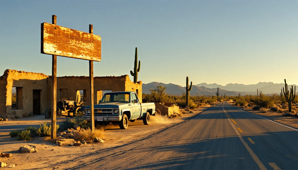
You’ll find Pantano nestled in eastern Pima County along I-10, positioned between the towns of Benson and Vail where the desert landscape opens up around Ciénega Creek. The ghost town sits at 3,553 feet elevation, accessible via the Marsh Station Road exit off the interstate—a straightforward route that doesn’t require four-wheel drive or specialized equipment.
From this exit, you’re minutes away from exploring what remains of this abandoned railroad stop, where a water tower and scattered foundations still mark the site where trains once paused in the Arizona backcountry.
Marsh Station Road Exit
When traveling westbound on Interstate 10 through the high desert grasslands east of Tucson, you’ll spot Exit 291 for Marsh Station Road at mile marker 291.32—your gateway to Pantano’s remnants. This diamond interchange replaced the former Exit 289, extending the route 1.69 miles eastward during post 2010 modifications that reconfigured the rail line infrastructure.
Key Navigation Points:
- Exit spans 9.23 miles from its origin to Exit 281, following old U.S. 80’s alignment
- Union Pacific tracks now parallel I-10’s north side after railroad realignment
- No services available—prepare accordingly before departing the interstate
The frontage road crosses historic railway territory where Pantano once thrived. You’ll traverse terrain where the Southern Pacific Railroad shaped settlement patterns, eventually reaching the Gabe Zimmerman Davidson Canyon Trailhead area before connecting to your ghost town destination.
Two-Wheel Drive Accessible
Unlike many remote Arizona ghost towns requiring rugged four-wheel-drive vehicles, Pantano’s abandoned railway settlement welcomes standard passenger cars along well-maintained dirt roads. You’ll navigate Marsh Station Road’s graded surface without concern for ground clearance or specialized tires. The county-maintained route guarantees reliable parking access year-round, letting you explore on your own schedule rather than waiting for ideal weather conditions.
Once you’ve parked near the prominent water tower, walking the grounds reveals scattered foundations and concrete remnants across open terrain. The flat, accessible landscape invites spontaneous wandering—no trail restrictions or designated paths confine your exploration. You’re free to discover hidden architectural fragments and examine the cemetery’s weathered headstones at your own pace. This ease of access makes Pantano perfect for impromptu desert adventures.
Between Benson and Vail
Finding Pantano means spotting Exit 289 on Interstate 10, where the ghost town sits in the desert corridor linking Benson and Vail. You’ll discover this abandoned settlement roughly 28 miles southeast of Tucson, positioned strategically along transportation routes that shaped Arizona’s frontier development. The regional context places you in eastern Pima County‘s raw desert landscape, where Cienega Wash waters once sustained travelers.
Your Route Markers:
- Exit at Marsh Station Road (formerly Pantano Road on older maps)
- Navigate north of the Interstate after exiting
- Watch for dual signage reflecting both historical and current road names
The Southern Pacific railroad corridor determined Pantano’s 1880 location, and today’s I-10 follows that same path. You’re accessing authentic Western history without backcountry challenges—freedom to explore awaits just off the highway.
Apache Conflicts and Frontier Violence at Pantano
The dusty trail to Pantano ran red with frontier blood throughout the 1860s, as Apache warriors repeatedly struck the isolated station where stagecoaches paused between Tucson and the San Pedro Valley. You’ll find the cemetery here still marks those violent years—graves of settlers who fell defending their ground.
In 1867, W.A. “Shotgun” Smith earned his nickname fighting off ambushers who’d killed his three companions that morning. Such raids sparked settler retaliatory measures across the territory, including the devastating 1871 Camp Grant massacre where vigilantes slaughtered over 100 Apaches, mostly women and children.
These broader frontier violence patterns consumed Arizona until Geronimo’s 1886 surrender finally ended the Apache Wars, leaving places like Pantano as haunting reminders of America’s bloodiest frontier.
What Remains: Exploring the Pantano Townsite Today
When you exit I-10 at the Marsh Station Road interchange today, the Pantano Townsite spreads across 43.2 acres of high desert scrubland, its silence broken only by wind whistling through mesquite and the occasional rumble of passing freight trains. The water tower landmark still punctuates the horizon—a skeletal monument to the 500 souls who once called this place home.
Where wind and iron rails whisper through abandoned desert—43.2 acres of silence mark 500 vanished lives beneath Arizona’s relentless sun.
You’ll navigate your two-wheel drive vehicle past crumbling concrete foundations, each one marking where families lived before Southern Pacific razed everything in the 1960s.
The surviving infrastructure tells Pantano’s story:
- The railroad’s original pumphouse infrastructure stands weathered but intact
- Scattered concrete foundations map the ghost grid of vanished streets
- A cemetery holds 30 graves northwest of the tracks, only two markers still readable
You’re standing where Spanish marshlands once sustained an entire frontier community.
The Historic Pantano Cemetery and Its Stories
When you cross the Southern Pacific Railroad tracks to Pantano’s northwest corner, you’ll find the cemetery where pioneers fell to Apache raids during the violent 1860s. Edward Vail of the nearby Vail Ranch claimed the grounds held numerous victims of Indian conflicts, though the exact number remains unverified by modern historians.
The cemetery sits within the Pantano Townsite Conservation Area today, its weathered markers standing as silent memorial to the deadly frontier clashes that shaped this desert settlement.
Victims of Apache Conflicts
Standing among weathered headstones at Pantano Cemetery, you’ll find tangible evidence of the violent frontier conflicts that defined this remote station’s existence. Edward Vail documented that these graves held men who fell to Apache raids, though the full story reveals deeper tragedies.
The 1871 Camp Grant Massacre near Tucson claimed 150 Apache lives—mostly women and children—with enslavement of survivors intensifying regional conflicts that reached Pantano’s doorstep.
The cemetery’s markers represent casualties from both sides of Arizona’s brutal Apache Wars (1849-1886):
- Station employees killed during raids, including three companions of “Shotgun” Smith in 1867
- Settlers and freighters ambushed along the dangerous corridor
- Forgotten Apache victims from retaliatory strikes
You’re walking through physical proof of freedom’s violent price on this unforgiving frontier.
Locating Cemetery Remains Today
The weathered graves you encountered earlier aren’t lost to time—they’re preserved within the 43.2-acre Pantano Townsite Conservation Area, established in 2004 to protect this layered history spanning from prehistoric Hohokam villages to the railroad era. You’ll find the cemetery in New Pantano’s northwest corner, accessible across the old Southern Pacific Railroad tracks from the Marsh Station Road exit off I-10.
The cemetery gravestones tell fragmentary stories—some legible, others worn smooth by desert winds. Scattered among identified plots are unmarked burials, their occupants now anonymous. Pima County’s 2014 preservation project mapped these remains and installed interpretive signs to guide your exploration. The crumbling concrete foundations nearby mark where homes once stood, while the railroad’s water tower stands sentinel over these forgotten lives.
Visiting the Ciénega Creek Natural Preserve Conservation Area
Just 25 miles southeast of downtown Tucson, Ciénega Creek Natural Preserve sprawls across 4,010 acres of protected riparian habitat that feels like stepping back in time. You’ll discover one of southern Arizona’s last perennial streams, where Fremont cottonwoods and Goodding’s willows shade pools untouched by invasive fish species.
Over 12 miles of Ciénega Creek sustains endangered Gila topminnow, Gila chub, and Chiricahua leopard frogs. Bird species diversity rivals pre-1900 Tucson conditions—watch for Gray Hawks, Vermilion Flycatchers, and Northern Beardless Tyrannulets. Free permits grant sunrise-to-sunset access via Gabe Zimmerman Trailhead off I-10 exit 281.
The landscape shifts dramatically from desert scrub into lush riparian forest, offering unregulated exploration through Arizona’s vanishing ciénega ecosystems.
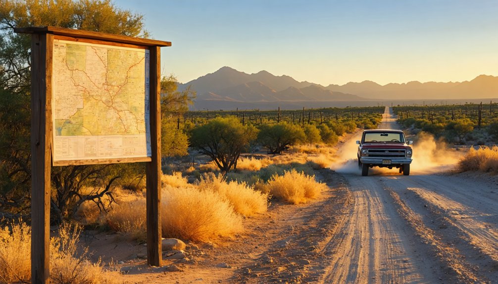
Best Time to Visit and Road Trip Planning Tips
While summer’s brutal heat drives most visitors away, October through April transforms Pantano and surrounding ghost towns into comfortable exploration territory. You’ll discover off season advantages like empty roads and mild 60-75°F temperatures perfect for wandering ruins.
March and April bring desert wildflowers painting the landscape in unexpected colors.
Summer demands strategic timing—early morning site visits let you escape before temperatures hit 105°F and afternoon monsoons release flash floods across washes. Your 2WD vehicle handles Pantano’s maintained roads year-round, but always check conditions before departing.
Pack extra water, sunscreen, and guarantee your vehicle won’t strand you in 120°F heat. Weekday visits guarantee solitude at accessible sites. Winter rarely brings snow to this elevation, keeping your escape route open when wanderlust strikes.
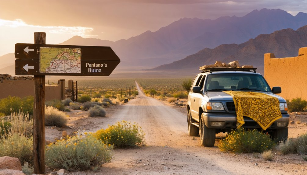
Combining Pantano With Other Arizona Ghost Towns

Pantano’s location along I-10 positions you perfectly for multi-town expeditions across Southern Arizona’s ghost town corridor. You’ll discover historic smelting operations at nearby Charleston along the San Pedro River, where copper processing once thrived. Pantano’s railroad significance connects naturally to Fairbank, another historic railroad stop just miles away with weathered ruins awaiting exploration.
Southern Arizona Ghost Town Routes:
- Eastern Loop: Head to Gleeson’s preserved 1910 jail, then Courtland and Harshaw’s silver mining remnants (16+ miles east of Tombstone)
- Western Circuit: Follow I-10 to Swansea and Castle Dome in La Paz/Yuma counties for BLM-maintained sites
- Northern Alternative: Kentucky Camp offers US Forest Service preservation with accessible mining structures from 1874-1912
You’ve got freedom to chart your own course through Arizona’s abandoned past.
Nearby Ghost Town Destinations: Vulture City, Pearce, and Total Wreck
Beyond Pantano’s crumbling railroad ties, three remarkable ghost towns anchor Southern Arizona’s mining heritage within reasonable driving distance.
Vulture City stands northwest near Wickenburg, where Henry Wickenburg’s 1863 gold strike yielded 340,000 ounces before wartime shutdowns halted mining operations. You’ll explore 16 original structures—assay office, blacksmith shop, and the notorious Hanging Tree where claim jumpers met their fate.
Southeast in Cochise County, Pearce’s preserved ruins tell silver boom stories from 1895. The Commonwealth Mine headframe still towers over weathered foundations and a windswept cemetery.
Total Wreck lives up to its name in the Rincon Mountains. This appropriately-named silver camp operated sporadically until disputes led owners to dynamite the works in 1907. You’ll need 4WD to reach collapsed mill foundations and mine adits scattered across rugged terrain.
Frequently Asked Questions
Are There Restroom Facilities Available at the Pantano Townsite Conservation Area?
You won’t find permanent restroom facilities here—portable restroom availability depends on the on-site maintenance schedule, which varies. Plan accordingly for your desert exploration, bringing necessary supplies to maintain your independence while discovering this abandoned townsite’s haunting remains.
Can I Bring My Dog to Explore Pantano Ghost Town?
Like a desert wanderer seeking adventure, you’ll find pet-friendly policies welcome your companion. Keep your dog leashed while exploring Pantano’s ruins and Ciénega Creek Natural Preserve—respecting wildlife and fellow explorers guarantees everyone’s freedom to roam responsibly.
Is Camping Permitted Near Pantano or Ciénega Creek Natural Preserve?
Camping regulations prohibit overnight stays at Cienega Creek Natural Preserve. You’ll find nearby accommodation options at Coronado National Forest’s dispersed camping sites, where you’re free to explore without fees or permits within fourteen-day limits.
What Safety Precautions Should I Take for Wildlife or Rattlesnakes?
You’d think ghost towns hold the only danger, but living threats await. Watch out for scorpions hiding in boots, avoid rattlesnake nests under rocks, wear sturdy footwear, and keep your distance from coyotes during dawn and dusk.
Are Guided Tours Available at Pantano or Is It Self-Guided Only?
No tour guides available at Pantano—you’ll experience pure self-guided exploration options among crumbling foundations and desert silence. You’re free to wander the ruins independently, discovering remnants at your own pace without schedules or restrictions.


