You’ll find Poeville at GPS coordinates 39.59205° N, 119.90693° W on Peavine Mountain‘s slopes, accessible via McCarran Boulevard or Keystone Canyon from Leadership Parkway. Plan your visit for late spring (April-May) or early fall (September-October) when temperatures stay between 59°F-77°F and wildflowers bloom across higher elevations. Bring GPS devices, backup paper maps, satellite communicators, and plenty of water since cell service doesn’t exist in this remote area. While nothing physically remains of John Poe’s 1862 settlement, the authentic ground tells a compelling story of copper mining’s harsh realities.
Key Takeaways
- Access Poeville via McCarran Boulevard or Keystone Canyon, with GPS coordinates 39.59205° N, 119.90693° W for navigation.
- Visit during late spring (April-May) or early fall (September-October) when temperatures range from 59°F to 77°F.
- Bring navigation tools, adequate water, sun protection, and emergency gear as cell service is unavailable.
- No structures remain at the townsite; federal and state laws protect the area from artifact removal.
- Combine your trip with nearby ghost towns like Boca, Floriston, Empire, Jumbo, and Mogul for extended exploration.
The Rise and Fall of John Poe’s Mining Dream
In 1862, professional promoter John Poe arrived on Peavine Mountain‘s slopes with grand ambitions and allegedly blue-blooded credentials—he claimed relation to the famous Edgar Allan Poe. When he discovered rich veins of gold and silver, Poe’s promotional tactics kicked into high gear. He boldly announced the next Comstock Lode, attracting investors who watched him showcase ore samples at the 1864 state fair. Within two years, his namesake settlement—variously called Poe City, Poeville, or Podunk—swelled to 200 residents hungry for fortune.
But freedom-seekers soon discovered harsh reality. The unpredictable silver yields gave way to copper-dominant ore, worthless compared to precious metals. Primitive smelting technology couldn’t handle the sulfur-rich deposits. By 1880, only fifteen souls remained where hundreds once dreamed of striking it rich.
Why Poeville’s Copper Riches Led to Economic Struggle
You’d think discovering rich copper deposits would guarantee mining success, but Poeville’s story proves otherwise. The prospectors who rushed to the Peavine District expected gold—the 1860s equivalent of striking oil—yet found themselves sitting on copper reserves that the market barely valued.
What sealed the town’s fate wasn’t the absence of valuable ore, but rather the cruel combination of copper’s low price point and the primitive smelting technology that couldn’t efficiently extract it from the sulfur-laden rock.
Copper Versus Gold Economics
The glittering promise of gold that drew hundreds to Peavine Mountain in 1862 concealed a disappointing reality—John Poe’s discovery consisted primarily of copper, not precious metals. While ore samples dazzled state fair attendees in 1864, the truth devastated prospectors seeking freedom through fortune.
The economic disparity between copper and gold proved catastrophic:
- Gold commanded exponentially higher market prices than copper throughout the 1870s
- Low-grade copper ore ($4.60-$12.00 per ton) couldn’t sustain independent mining operations
- Copper processing limitations required expensive industrial-scale mills unavailable to small operators
- Lack of technological solutions for efficient extraction made remote deposits unprofitable
The settlement’s collapse from 200 residents to just 15 by 1880 revealed harsh marketplace realities—copper riches meant nothing without infrastructure.
Primitive Smelting Technology Failures
Beyond copper’s market disadvantages, Poeville’s miners confronted an even more formidable obstacle—their ore itself resisted every attempt at profitable extraction. The sulfide-rich mineralization demanded sophisticated roasting techniques that 1860s technology simply couldn’t deliver. You’ll find that metallurgical process failures plagued every smelting attempt, as primitive equipment buckled under refractory minerals that refused standard treatment methods.
Water infrastructure limitations compounded these technical disasters. Peavine Mountain’s parched landscape offered virtually no water for ore processing or slag management, forcing expensive wagon freight to distant California smelters. Even ore grading $4.60 to $12.00 per ton couldn’t offset these crushing operational costs. By the late 1870s, miners abandoned their 400-foot shafts and 2,000 feet of lateral workings—defeated not by lack of minerals, but by insurmountable processing challenges.
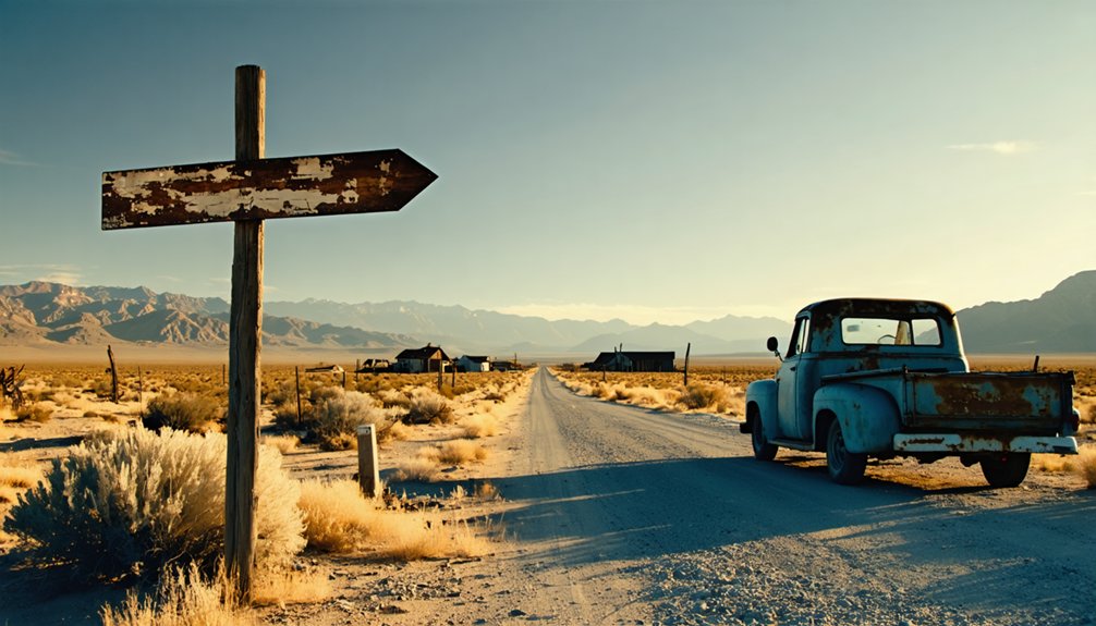
Getting to the Backside of Peavine Mountain
From Reno’s downtown core, Peavine Mountain rises just six miles to the northwest, its radio-tower-capped summit visible across the valley floor. You’ll find multiple routes leading to Poeville on the mountain’s northeast flank, each offering different challenges based on vehicle requirements and dirt road conditions.
Peavine Mountain towers just six miles northwest of downtown Reno, its radio-crowned peak beckoning adventurers across the valley.
Your Access Options:
- McCarran Boulevard Route – Head west from North Virginia Street, reaching trailhead parking within a mile
- Keystone Canyon Access – Navigate north via Leadership Parkway from North McCarran Boulevard
- Summit Road Adventure – High-clearance vehicles can tackle the dirt road network branching toward both summits
- Birding Trail Approach – Follow the unsigned access road from North Virginia Street junction for seven miles
The terrain shifts from sagebrush-covered foothills to steeper upper slopes, with Peavine Springs marking your approach to historic Poeville.
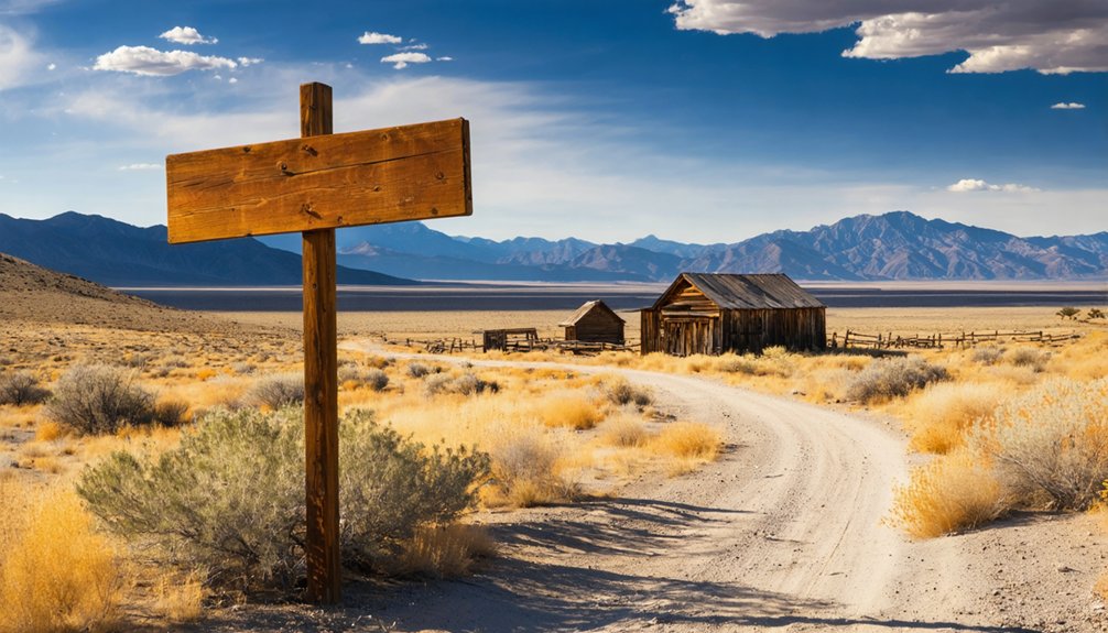
What Remains at the Poeville Townsite Today
What’ll you discover when you finally reach Poeville’s historic location? The stark reality of an empty townsite where nature has completely reclaimed the land. You’ll find no standing structures, foundations, or visible ruins marking where miners once worked and lived.
The desert landscape stretches across what was once a bustling camp, offering only terrain and distant views as evidence of its past. Despite the lack of visible ruins, remnant preservation efforts protect this site under federal and state laws. Volunteers and trail cameras monitor the area, ensuring even nails remain untouched.
While the physical absence might seem anticlimactic, you’re standing on authentic ground where Nevada’s mining heritage unfolded—a powerful connection to freedom-seeking prospectors who carved their destiny from Peavine Mountain’s slopes.
Best Time to Visit This Washoe County Ghost Town
You’ll find late spring and early fall offer the most comfortable conditions for exploring Poeville, with temperatures hovering between 59°F and 77°F that make wandering through the ruins genuinely pleasant.
Winter snow can close access roads entirely, while summer heat exceeding 90°F turns what should be an adventure into an endurance test.
If you’re chasing wildflower blooms that transform the high desert landscape, plan your visit for April through May when colorful displays frame the weathered remnants of this forgotten town.
Seasonal Weather Considerations
Perched high on Peavine Mountain above Stead, Poeville experiences the dramatic temperature swings typical of Washoe County’s elevated ghost towns. You’ll encounter daily temperature ranges of 30-35°F, demanding smart clothing considerations regardless of season.
Winter brings moderately cold conditions with January lows around 25°F and occasional arctic blasts, while summer delivers short, hot days with mid-80s temperatures. Spring offers the most balanced exploration weather, though off season visitation has its own appeal for solitude-seekers.
Critical seasonal factors to pack for:
- Winter layers: Nighttime lows drop below freezing October through April
- Summer preparation: Dry air creates wide daily swings despite hot afternoons
- Spring advantage: April’s 65°F highs and minimal crowds reward flexible travelers
- Year-round essentials: Rapid cooling after sunset requires adaptive gear always
Avoiding Snow and Heat
Timing your Poeville expedition around Nevada’s temperature extremes transforms a potentially miserable trek into a comfortable adventure. You’ll face short visiting seasons in this Washoe County ghost town, where winter lows plunge to 19°F and summer highs spike to 89°F.
Plan your visit during April’s mild 75°F days or September’s comfortable range before October freezes arrive. Avoid December through March when arctic air masses dump snow across northern Nevada, making backcountry roads impassable.
Summer’s brutal heat creates dangerous conditions with temperatures occasionally hitting 96°F. Spring offers your best window—March through May delivers pleasant 67-75°F highs with manageable nighttime temperatures. Fall’s September-October period provides another prime opportunity, though you’ll need to watch for early freezes that can strand vehicles on remote ghost town routes.
Peak Wildflower Viewing Months
Higher elevations near Poeville bloom later than lower areas, extending your viewing window through August following heavy snowfall years. Plan accordingly:
- June-July: Peak blooming period for most species at Poeville’s elevation
- Mid-July-August: Extended displays during years with significant snowpack
- Consecutive weeks: Different species create changing color palettes
- Weather-dependent: Winter precipitation patterns directly influence bloom quality
The same hillside presents entirely different flowers over successive weeks, rewarding multiple visits throughout summer.
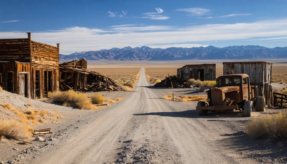
Combining Poeville With Nearby Historic Mining Sites
While Poeville itself has vanished completely from Peavine Mountain’s slopes, you’ll find its story comes alive when paired with nearby ghost towns that still bear witness to Washoe County’s mining fever.
Though Poeville’s physical traces have disappeared, its legacy endures through the weathered remains of Washoe County’s mining-era neighbors.
Head to Boca, where foundations and a cemetery tell tales alongside interpretive trails. Floriston‘s remnants reveal how company towns thrived before the 1930 mill closure.
You can explore the mining infrastructure challenges that doomed Poeville by visiting Empire, Jumbo, and Mogul—sites where miners battled similar ore processing problems and remote geographic isolation.
Create your own route combining Poeville Trail with Geiger Grade Toll Road and Robber’s Roost for a complete mining heritage experience.
With 50+ ghost towns scattered across Washoe County, you’re free to chart your course through Nevada’s untamed past.
Essential Gear and Supplies for Your Desert Exploration
Your desert adventure to Poeville demands proper preparation, as Nevada’s remote landscapes present unique challenges that can quickly turn dangerous without the right equipment.
You’ll need reliable navigation tools to track your position in areas where cell service vanishes, adequate water and sun protection to combat extreme temperatures, and thorough emergency gear to handle unexpected situations.
Before leaving civilization behind, verify that you’ve packed these critical supplies—your safety and comfort depend entirely on what you bring into this unforgiving environment.
Finding Poeville requires precision navigation in an area where modern conveniences disappear. Load your GPS with coordinates 39.59205° N, 119.90693° W, but don’t rely solely on technology. Download offline maps covering the Peavine Mountain region, as cell service vanishes along these unpaved routes. Satellite communication necessities include a personal locator beacon for emergencies in this zero-population zone at 6,391 feet elevation.
Critical Navigation Equipment:
- Backup paper maps of Nevada ghost towns and Washoe County trails
- VHF/UHF radios for team coordination where signals fail
- Compass and topographic maps as GPS failure backup
- Satellite communicator for emergency contact capability
Off road recovery planning demands you carry recovery gear and spare tires. Mark waypoints along Peavine Road’s switchbacks—you’re exploring genuine wilderness here.
Water and Sun Protection
The Nevada desert’s unforgiving sun and extreme aridity create dual threats that’ll test unprepared visitors within hours of arrival. You’ll need robust hydration strategies—carry multiple water sources and drink consistently before thirst strikes.
Lightweight performance wear prevents dehydration from heavy fabrics while maintaining breathability. UV protection layers form your defense against relentless radiation. Choose UPF 50+ rated shirts with long sleeves and thumb loops for maximum coverage. Wide-brimmed hats shield your neck, while convertible designs adapt as temperatures shift.
Nylon and merino wool fabrics block harmful rays through dense construction. Don’t overlook extremities—UV gloves prevent hand damage, and 100% UV-blocking sunglasses protect your eyes. Apply high-SPF sunscreen to remaining exposed skin. Light-colored, breathable clothing reduces heat absorption while maintaining visibility during your autonomous desert exploration.
Emergency and Safety Equipment
Beyond protecting yourself from sun and dehydration, mechanical failures and medical emergencies demand equal preparation when venturing into Poeville’s remote desert landscape. Your emergency preparedness starts with a well-stocked first aid kit containing bandages and antiseptics.
Pack these essential safety precautions:
- Jumper cables and tire repair tools including spare tire, jack, and lug wrench for roadside breakdowns
- Flashlight with extra batteries and reflective warning triangles to maintain visibility during nighttime emergencies
- Cell phone with portable charger plus printed maps as backup navigation
- Emergency blanket and nonperishable food for extended roadside situations
Include duct tape for temporary repairs, work gloves for handling equipment, and a multi-tool for quick fixes. Store essential medications in your glove compartment and keep extra windshield washer fluid accessible for dust-covered conditions.
Photography Tips for Capturing Nevada’s Mining Heritage
Why do some ghost town photographs captivate viewers while others fall flat? You’ll capture compelling images by embracing natural side-lighting during golden hour, which reveals dimensional depth on weathered surfaces and mining relics.
Frame disintegrating trucks, drilling equipment, and stamp mills against Nevada’s rugged terrain to showcase mineral extraction technologies that built these boom towns. Shoot low from ground level to make formations appear imposing, or climb high to reveal patterns across the landscape.
Document the social impacts of mining by including contextual elements—bottle houses in Rhyolite, vintage ore carts nestled in craggy hills, and weathered signs that tell stories of hardship and hope. Bracket exposures in high-contrast slot canyons, and never touch petroglyphs while photographing these cultural treasures that predate mining settlements.
Understanding the Challenges That Doomed Early Miners
Dreams of instant wealth drew prospectors to Poeville in the 1860s, but harsh realities quickly shattered their optimism.
You’ll discover the miners faced insurmountable resource limitations that crushed their ambitions. Peavine Mountain’s arid landscape offered no reliable water sources for essential milling operations, forcing expensive hauling that drained profits. The technological challenges proved equally devastating—ore laden with high sulfur content required advanced smelting equipment unavailable in Nevada’s frontier. What they’d hoped were gold-rich veins turned out to be primarily copper, worth far less than Comstock Lode strikes.
The fatal combination that destroyed Poeville:
- Sulfur-rich ore created impossible slag during 1860s-era processing
- Complete absence of water sources for washing and milling
- Prohibitive freight costs shipping ore to distant California smelters
- Copper-dominant veins yielding minimal precious metal returns
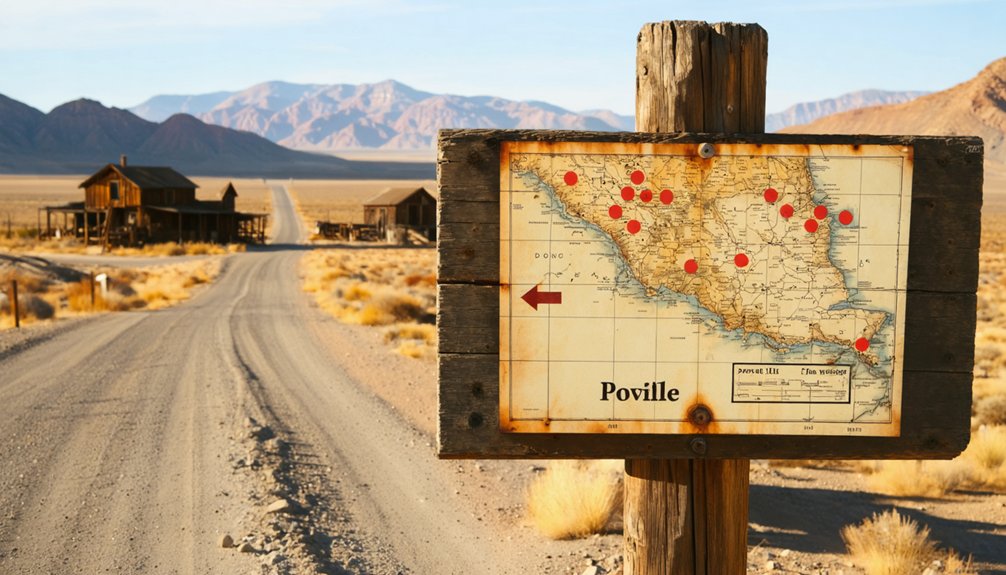
Resources and Maps for Nevada Ghost Town Enthusiasts
Whether you’re planning your first ghost town adventure or you’re a seasoned explorer mapping your next expedition, you’ll find Nevada’s abandoned settlements remarkably well-documented through modern digital tools and vintage cartographic treasures. Interactive ghost town maps showcase over 800 sites across Nevada and California, linking photographs and histories through scrolling interfaces that let you chart your own course.
as you explore the history of Como, Nevada, you’ll uncover fascinating stories of its gold mining past and the lives of those who once called it home. From its bustling railroads to the quiet remnants of homes long abandoned, Cada exploration offers a glimpse into a different era. Take your time to wander the ruins and immerse yourself in the rich lore that surrounds this unique ghost town.
Online ghost town databases like Ghosttowns.com and Nevada Ghost Towns & Beyond provide alphabetical listings, county breakdowns, and detailed biographies for each location.
You’ll discover practical resources ranging from Stan Paher’s extensive guidebook to Travel Nevada’s trip itineraries. The iconic 1969 Lost Mines poster marks sites with skull icons, showing habitation years and extracted wealth—perfect inspiration for planning multi-day expeditions through Nevada’s vast, freedom-filled backcountry.
Frequently Asked Questions
Are There Any Entrance Fees or Permits Required to Visit Poeville?
You’ll pay nothing to explore Poeville—it’s completely free with no permits required. Parking availability is unrestricted in this unmanaged ghost town. There aren’t formal visitor guidelines, so you’re free to roam and discover at your own pace.
Is Cell Phone Service Available at the Poeville Ghost Town Site?
Cell phone service at Poeville’s remote location is unreliable due to limited cellular tower infrastructure and significant data coverage limitations. You’ll likely experience weak or nonexistent signals, so download maps and prepare for off-grid communication before arriving.
Can I Camp Overnight Near the Poeville Ruins?
You’ll need to check nearby campground options and camping regulations in area, as dispersed camping on public lands allows 14-day stays. Fort Churchill State Historic Park offers established sites with amenities if you prefer designated camping facilities.
Are There Restroom Facilities or Water Sources Along the Route?
Better safe than sorry—you won’t find restroom facilities or local water sources along Poeville’s remote routes. Pack plenty of water and plan bathroom stops at nearby campgrounds or Reno before heading into this wilderness adventure.
Is the Road to Poeville Suitable for Standard Vehicles Year-Round?
The road to Poeville isn’t suitable for standard vehicles year-round. You’ll encounter unpaved road conditions that worsen with weather, and seasonal accessibility becomes challenging during winter snow or summer washouts. A high-clearance or 4WD vehicle’s recommended.


