You’ll discover Rawsonville’s submerged ruins beneath Belleville Lake’s 1,270 acres by taking I-94’s Exit 187 to the historical marker at French Landing Park, where Rawsonville Road meets Grove Road. Henry Snow’s 1800s settlement—complete with mills, cooper shops, and three saloons—vanished when Detroit Edison’s 1925 dam flooded the thriving community for hydroelectric power. Street patterns still trace the ghost town‘s footprint through modern properties, while foundations rest underwater along the southern shore between Ypsilanti Township and Belleville, preserving Michigan’s industrial heritage beneath the surface.
Key Takeaways
- Take I-94’s Exit 187 for Ypsilanti and navigate to the intersection of Rawsonville Road and Grove Road at French Landing Historical Park.
- Visit the historical marker explaining Henry Snow’s 1800 settlement and the community’s mills, shops, and saloons before railroad bypass caused decline.
- Explore Belleville Lake’s 1,270 acres where sawmills, saloons, and commercial establishments remain submerged beneath the hydroelectric reservoir.
- Look for preserved street patterns, unowned public fishing lanes, and scattered property references maintaining the ghost town’s identity along Rawsonville Road.
- Note that limited lake access restricts diving to submerged ruins, but surface exploration reveals foundations and historic village road networks.
Getting to the Historical Marker at Belleville Lake
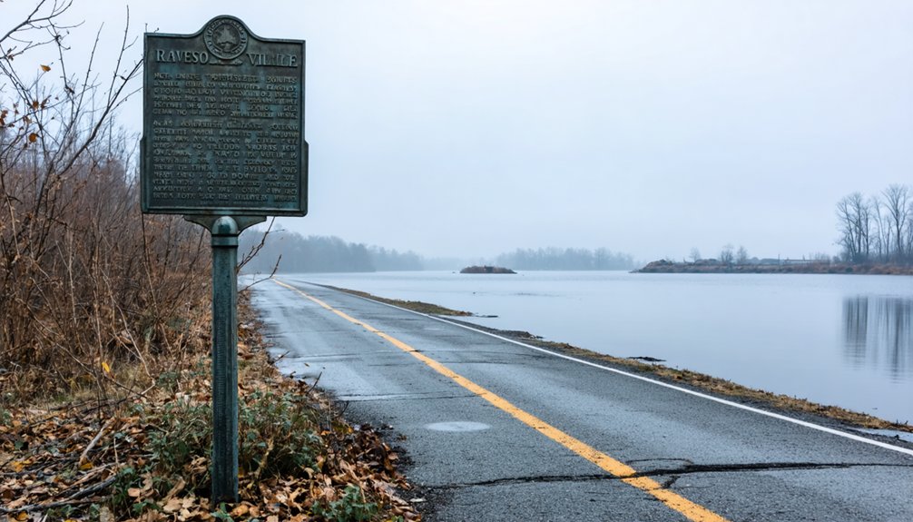
When you navigate toward the ghost town of Rawsonville, you’ll find its historical marker standing sentinel at the intersection of Rawsonville Road and Grove Road—ironically positioned in front of a McDonald’s, where the past meets the unmistakably modern present. Your directions to reach marker begin at I-94’s Exit 187 for Ypsilanti, placing you half an hour east of Ann Arbor along the Wayne-Washtenaw County boundary.
The marker sits across from South Grove Street within French Landing Historical Park, overlooking Belleville Lake’s 1,270 acres. These navigation tips for the area prove essential: Rawsonville Road crosses directly into Ypsilanti Township, while Belleville’s southern shore offers additional lakefront access. The site commemorates Michigan State Historic Site designation from October 27, 1983, marking where an entire settlement vanished beneath reservoir waters in 1925.
What Remains of Rawsonville Today
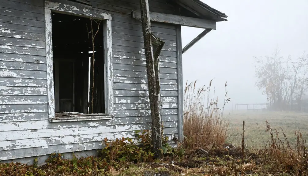
Standing at Michigan Historical Marker L1129C on the shores of Belleville Lake, you’re looking at what locals call a ghost town—though Rawsonville’s death was neither sudden nor complete. Parts of the old village lie submerged beneath the reservoir created by the 1925 French Landing Dam, but contrary to popular belief, the entire settlement didn’t vanish underwater.
What survives exists in fragments: street patterns absorbed into modern properties, unowned public lanes accessible to persistent fishermen, and scattered references in county parcel records that preserve the ghost of Washington Street beneath today’s Grove Road.
Submerged Ruins Beneath Lake
Since 1925, the physical remnants of Rawsonville have rested beneath Belleville Lake, an artificial reservoir created when Detroit Edison completed the French Landing Dam and Powerhouse along the Huron River. What lies below remains largely mysterious—historians debate whether complete infrastructure survives or only scattered ruins persist.
Sand and silt have accumulated over 101 years, potentially obscuring sawmills, three saloons, commercial establishments, and residential buildings. Limited lake access restricts potential archaeological dives that could verify the preservation state of these submerged structures.
What may remain beneath the surface:
- Foundations of grist mills and copper shops buried under sediment layers
- Networks of village roads preserved in the lake bottom
- Structural remnants from the stove factory and wagon maker’s shop
- Personal artifacts from homes deliberately flooded
- Evidence of Michigan’s hydroelectric development priorities over community preservation
Historical Marker Location
While Rawsonville’s original structures remain hidden underwater, the village hasn’t been entirely forgotten by history. You’ll find Michigan Historical Marker L1129C standing at 2193 Rawsonville Road, positioned at the northeast corner where Grove Road intersects. The marker’s physical characteristics include precise GPS coordinates (N42.21441°, W83.54342°) marking its 708-foot elevation above sea level.
Designated on October 27, 1983, this registered state historic site commemorates the ghost town’s past. Historical marker text analysis reveals Rawsonville’s transformation from Snow’s Landing in 1823 to a thriving Civil War-era village. The inscription documents Henry Snow’s original land patent and the settlement’s eventual abandonment. You’re standing where Van Buren Township‘s commercial district now occupies what was once Michigan’s vanished frontier community.
Modern Property References
Looking beyond the historical marker, you’ll discover that Rawsonville’s modern incarnation straddles two counties—Washtenaw and Wayne—as an unincorporated community that refuses to disappear completely from Michigan’s map. While Belleville Lake submerged portions of the original settlement in 1925, the commercial district now occupies most historic land west of those waters.
Current real estate values reflect this resilience, with 51 properties listed on Zillow ranging from modest homes at $99,900 to sprawling 40-acre parcels commanding $999,000. Property tax assessments follow 2026 calendars through Van Buren Township and surrounding municipalities, accessible via BS&A Online records.
What you’ll find in modern Rawsonville:
- Homes along Rawsonville Road preserving the community’s identity
- Vacant lots offering future development opportunities
- Commercial districts built atop historic settlement grounds
- Properties split between Wayne and Washtenaw County jurisdictions
- Active real estate market defying “ghost town” mythology
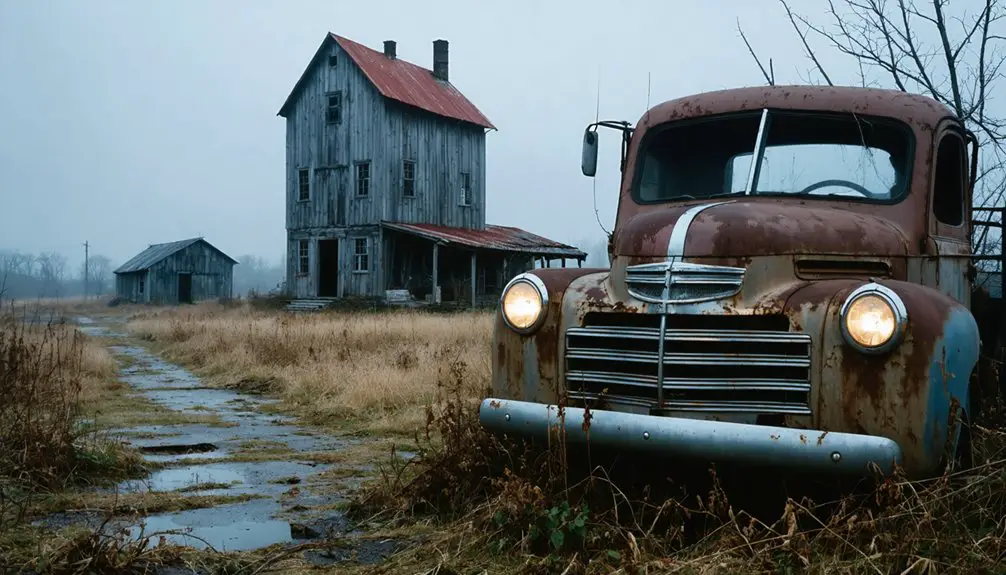
The Rise and Fall of Snow’s Landing
When Henry Snow arrived in 1800, he carved the first homestead from wilderness at a strategic river crossing that would bear his name for decades.
Your town site investigation reveals Snow’s Landing thrived on water-powered mills that processed local crops, attracting cooper shops, a stove factory, and wagon makers by the Civil War era. The early settler lifestyle centered on self-sufficiency and commerce, with three saloons and multiple general stores serving pioneers. Snow received his official land patent in 1823, legitimizing what he’d already built.
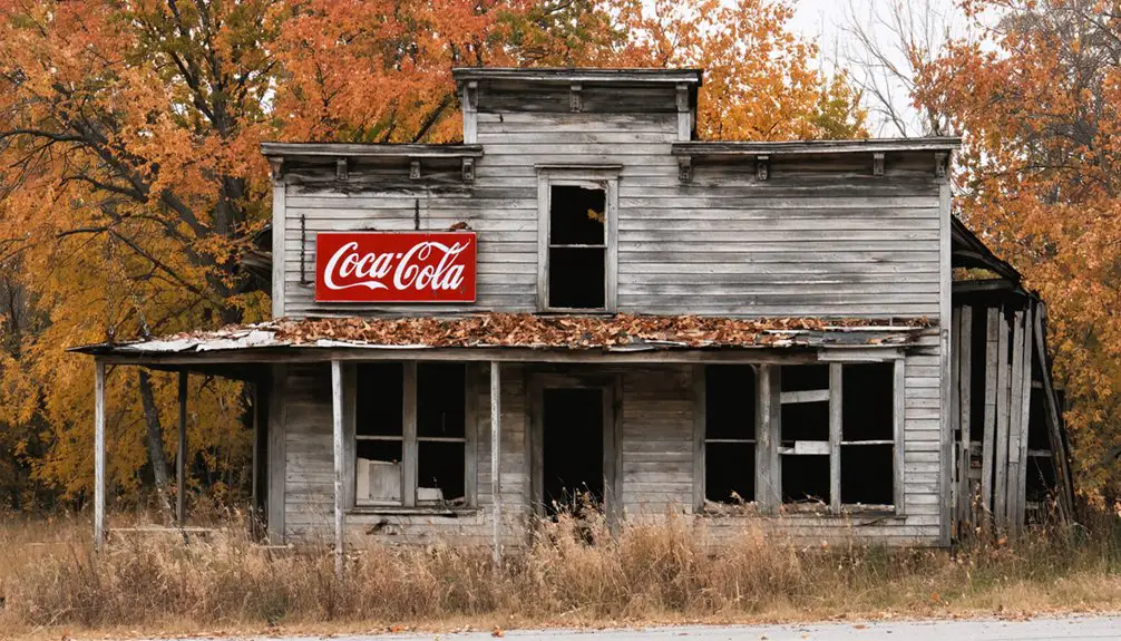
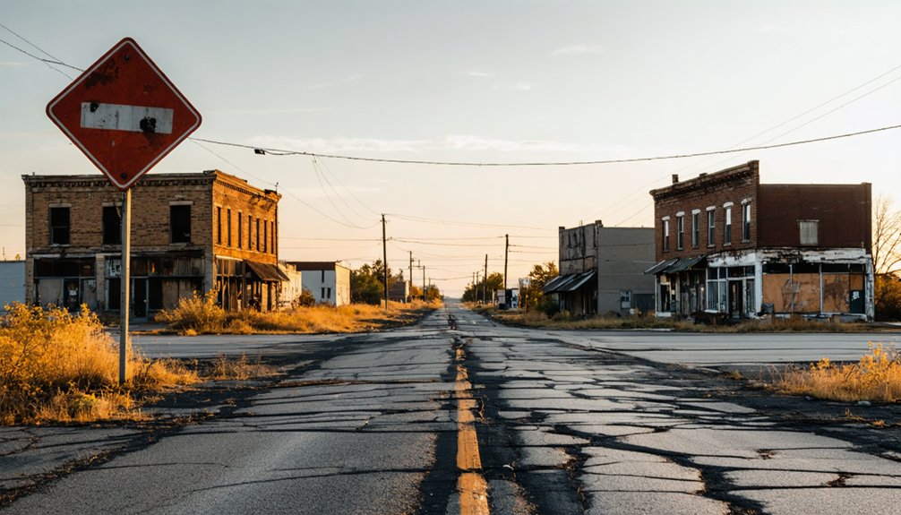
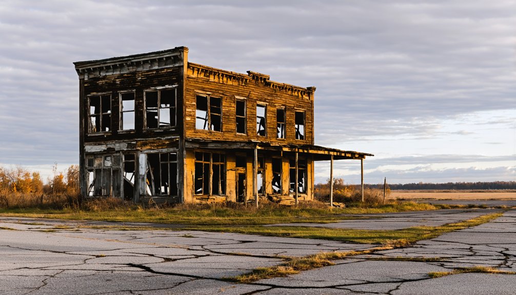
But prosperity proved fleeting—when railroads bypassed Rawsonville in favor of better-connected settlements, the economy collapsed. By the 1880s, mills shuttered and residents fled, leaving only memories before demolition crews arrived in the 1960s.
Why the Town Disappeared Beneath the Water
The romantic notion of a thriving settlement vanishing beneath rising waters doesn’t match Rawsonville’s actual fate. When Detroit Edison constructed the French Landing Dam in 1925, creating Belleville Lake, they weren’t drowning a bustling community—they were merely flooding an already-abandoned ghost town.
The dam didn’t destroy Rawsonville—it simply submerged what economic forces had already killed decades before.
Rawsonville’s community identity had eroded decades earlier when railroads bypassed the settlement in the 1880s. Economic realities proved relentless: businesses shuttered, mills closed, and residents fled westward seeking opportunity. By 1900, the town was essentially deserted.
What Really Ended Rawsonville:
- Railroad service rejection eliminated competitive advantage in the 1880s
- Business closures preceded dam construction by forty years
- Post office’s final closure in 1902 marked official abandonment
- Most original settlement structures stood west of eventual flooding
- Water formalized death, didn’t cause it
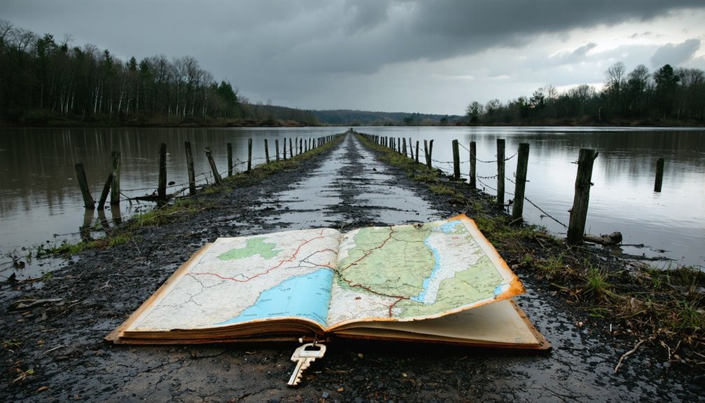
Best Times to Visit the Submerged Ghost Town Site
Understanding Rawsonville’s demise helps frame expectations for your visit—this isn’t a site where you’ll glimpse underwater ruins through crystal-clear waters. Instead, you’ll explore a historical marker beside I-94, where lake visitation windows offer varied experiences depending on your interests.
Summer (June-August) combines comfortable water temperatures with extended daylight hours for lakeside fishing—carp and catfish populations earned Master Angler recognition. Spring and fall deliver moderate temperatures and reduced crowds, perfect for contemplative roadside stops. Late autumn provides clearer skies for photography, while ideal wildlife viewing seasons span September through October when cooler weather activates fish populations. Winter offers solitude for dedicated enthusiasts, though harsh conditions may affect accessibility. Weekday visits during off-peak periods guarantee the peaceful experience history buffs crave.
What to Expect at the Roadside Memorial

Where exactly will you find yourself standing when you arrive at this unusual memorial? You’ll pull off Rawsonville Road directly in front of McDonald’s, where a single plaque marks coordinates now resting beneath Belleville Lake’s surface.
This simple monument design commemorates an entire community drowned in 1925 for Detroit Edison’s hydroelectric ambitions. The brief roadside experience offers no grand visitor center or photogenic ruins—just honest recognition of what progress cost.
What You’ll Encounter:
- A solitary historical marker explaining Rawsonville’s rise from 1830s settlement to Civil War-era prosperity
- Direct views of Belleville Lake concealing original foundations and streets underwater behind you
- The stark irony of modern commerce thriving where independent pioneers once built their dreams
- Minimal signage requiring you to imagine vanished homes, businesses, and lives
- Quick acknowledgment that freedom’s landscape includes forgotten casualties of industrial expansion
Exploring the Surrounding Belleville Lake Area
After paying respects at the roadside memorial, you’ll find Belleville Lake stretching eight miles before you—a 1,270-acre artificial reservoir created in 1925 when the French Landing Dam impounded the Huron River.
The lake’s waters draw anglers seeking walleye and muskie, while its shoreline connects you to the broader history of Van Buren Township’s transformation from rural settlements like Rawsonville into recreational communities.
Beyond fishing, the surrounding area preserves traces of the region’s past through historical markers and remnants of the towns that once thrived along these waterways.
Recreational Activities on Lake
When the French Landing Dam transformed the Huron River into a 1,200-acre reservoir in 1926, it inadvertently created what would become Belleville Lake—a recreational hub that now draws visitors to the former Rawsonville area year-round.
You’ll find water recreation opportunities spanning bass and walleye fishing at DNR-access motorboat launches, jet skiing and swimming at the sandbar, or paddling kayaks from accessible launch points. The scenic lake views from Horizon Park’s boardwalk and Doane’s Landing offer perfect sunset-watching vantage points.
Essential lake activities include:
- Motorized boating from multiple DNR launches with courtesy docking
- Kayak rentals available at nearby Willow Metropark
- Year-round fishing targeting bass and walleye populations
- Sandbar gatherings for swimming and water sports
- Seasonal festivals featuring lakeside carnivals and winter celebrations
Nearby Historical Attractions
Beyond the waters that concealed Rawsonville’s foundations, the Belleville Lake area preserves its heritage through a constellation of historical sites that chronicle the region’s transformation from frontier settlement to modern recreational destination. The Belleville Area Museum, housed in the 1875 Van Buren Township Hall, anchors preservation efforts with artifacts spanning two centuries of regional history.
French Landing Historical Park showcases the 1926 dam construction that created this 1,200-acre reservoir, offering interactive displays that connect past to present.
Aviation enthusiasts discover unexpected tourism opportunities at the Michigan Flight Museum, where vintage aircraft and the annual Thunder Over Michigan Air Show celebrate technological progress. Even Soop Cemetery‘s weathered gravestones contribute to this historical tapestry, each marker documenting the pioneers who shaped this landscape before dam waters redrew its geography forever.
Photography Tips for Capturing the Historic Location
Photographing Rawsonville demands technical precision to capture a ghost town that exists simultaneously above and below water. You’ll need wide-angle lenses for the historical marker with Belleville Lake backdrop, while telephoto composition techniques compress modern structures against submerged ruins. Golden hour illuminates bronze plaques perfectly, but foggy mornings enhance the Atlantis-like mystique. Bracket your exposures to handle metal reflections versus shadowed text contrast.
Essential capture strategies:
- Deploy polarizing filters to cut glare and reveal underwater foundations from the southern Huron River bank
- Schedule visits during low tide when 1823-era remnants emerge from depths
- Apply black-and-white post processing methods to emphasize the county-line ghost town duality
- Shoot vertical compositions from Rawsonville Road overlooking flooded saloons and copper shops
- Use ISO 100-400 for crisp detail in dawn’s subdued lighting
Nearby Attractions Between Ann Arbor and Detroit
The corridor between Ann Arbor and Detroit transforms your ghost town pilgrimage into a thorough, in-depth exploration of Michigan’s industrial and cultural heritage. Dearborn’s Henry Ford Museum of American Innovation houses Rosa Parks’ bus and offers Model T rides through Greenfield Village, while tree lined streets earn the city its “Tree City USA” designation.
The Ford Rouge Factory Tour reveals automobile manufacturing’s evolution, connecting directly to Rawsonville’s own automotive past. Detroit’s Guardian Building showcases stunning Art Deco architecture, and the Detroit Institute of Arts presents world-class collections. These interesting museums—including the Charles H. Wright Museum of African American History—provide context for understanding how communities like Rawsonville rose and fell within Michigan’s industrial landscape, making your journey richer than simple abandonment tourism.
Frequently Asked Questions
Can Scuba Divers Explore the Submerged Ruins of Rawsonville Underwater?
No documented evidence exists that you can explore Rawsonville’s ruins underwater. Historical sources don’t mention diving permits required or visibility underwater conditions. The site’s only commemorated through land-based markers, suggesting limited or restricted underwater access.
Are There Any Artifacts From Rawsonville Displayed in Local Museums?
You’ll find Rawsonville’s legacy thoughtfully preserved at Belleville Area Museum, where historical artifacts from Van Buren Township tell stories of vanished communities. Though archaeological excavations weren’t conducted, the museum safeguards tricommunity treasures from this forgotten settlement’s past.
What Happened to Residents When Detroit Edison Flooded the Town?
By 1925, you’d find virtually no one left to displace—the town had already died economically by 1900. The minimal flooding didn’t require displaced community relocation or abandoned property rights negotiations since residents had departed decades earlier.
Is the French Landing Hydroelectric Dam Still Operational Today?
Yes, you’ll find this powerhouse defying time—still churning 7 million kilowatt-hours annually since 1988. Despite “high hazard” warnings requiring rigorous hydroelectric dam maintenance, FERC confirms it operates flawlessly, though the dam’s environmental impact on surrounding communities remains contentious.
Do Property Owners Still Pay Taxes on Submerged Rawsonville Lots?
You’ll find that submerged Rawsonville lots remain on tax rolls despite flooding, creating property tax implications that burden owners unable to use their land—an economic impact on residents that exemplifies government overreach without submergence exemptions.