Ruby Hill sits just 2.6 miles west of Eureka, Nevada, and it’s worth every mile. You’ll find weathered foundations, fenced mining structures, and echoes of a town that once held 2,500 residents. Visit in spring or fall, bring a capable vehicle for the unpaved access road, and time your arrival for early morning light. Nearby ghost towns like Cortez and Hamilton round out a genuinely compelling regional route — and there’s far more to know before you go.
Key Takeaways
- Ruby Hill lies 2.6 miles west of Eureka, Nevada, accessible via a rugged unpaved track or a deteriorating paved road.
- Visit in spring or fall for comfortable temperatures, clear skies, and optimal photography conditions during golden hour.
- A high-clearance vehicle is recommended, as one access route is unpaved and GPS may direct you toward restricted areas.
- Weathered foundations, fenced mining buildings, and recent drill sites mark what remains of a town once housing 2,500 residents.
- Extend your trip by visiting nearby ghost towns Cortez, Hamilton, and Beowawe, each offering unique historical landmarks.
Ruby Hill’s Mining History and Why It Stands Apart From Other Nevada Ghost Towns
When three prospectors followed an Indigenous guide into the rugged hills of central Nevada in 1869, they couldn’t have known they’d uncovered one of the state’s most remarkable silver and lead deposits. That Indigenous history often goes unacknowledged, yet it’s inseparable from Ruby Hill‘s founding story.
A nameless Indigenous guide led three prospectors to one of Nevada’s greatest silver discoveries — his role rarely remembered.
Owen Farrel, M.G. Clough, and Alonzo Monroe located the Buckeye and Champion mines first, sparking a rush that birthed the Eureka Consolidated and Richmond Mining Co. operations by 1871.
What separates Ruby Hill from Nevada’s countless other ghost towns is its concentrated timeline of mining innovations, including a dedicated railroad built in 1875 solely to haul ore to Eureka’s smelters.
You’re not just visiting ruins here — you’re standing inside a compressed, consequential chapter of the American West.
How to Get to Ruby Hill, Nevada
Ruby Hill sits roughly 2.6 miles west of Eureka, Nevada, but getting there demands more attention than a simple coordinate drop into your GPS. Two roads climb toward the site: one rugged unpaved track requiring a capable vehicle, and one deteriorating old paved road offering a smoother but uncertain alternative.
Your GPS may route you directly toward fenced, gated areas monitored by security cameras protecting surviving mining and machinery buildings. Respect those boundaries and work around them.
The approach rewards patient explorers with strong photography tips in mind — shoot the remaining structures from the road during golden hour for dramatic contrast.
Watch for wildlife encounters along the unpaved route, as the high desert terrain shelters more life than it first reveals.
What’s Actually Left at Ruby Hill Today
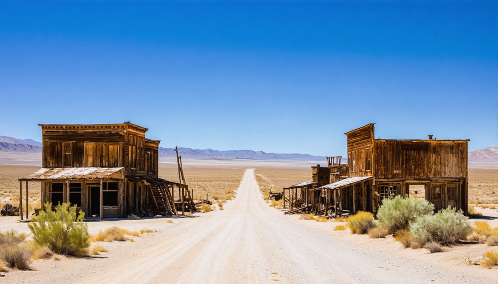
Once you’ve navigated the roads and respected the fenced boundaries, what actually greets you at Ruby Hill is a stripped-down remnant of a town that once held 2,500 people.
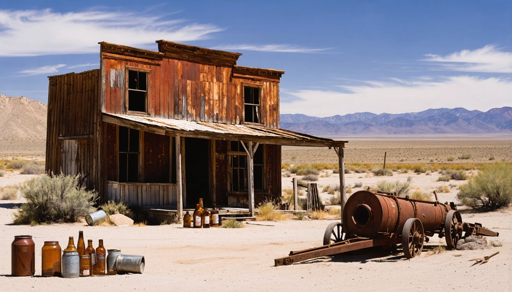
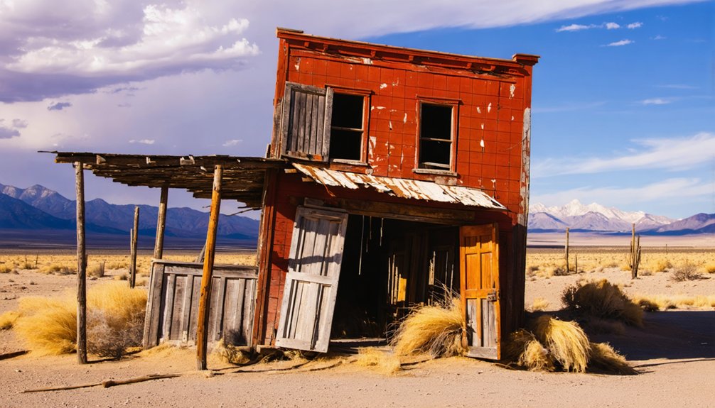
Weathered foundations peek through desert scrub, and local flora — sagebrush, rabbitbrush, and sparse grasses — has slowly reclaimed what miners once built.
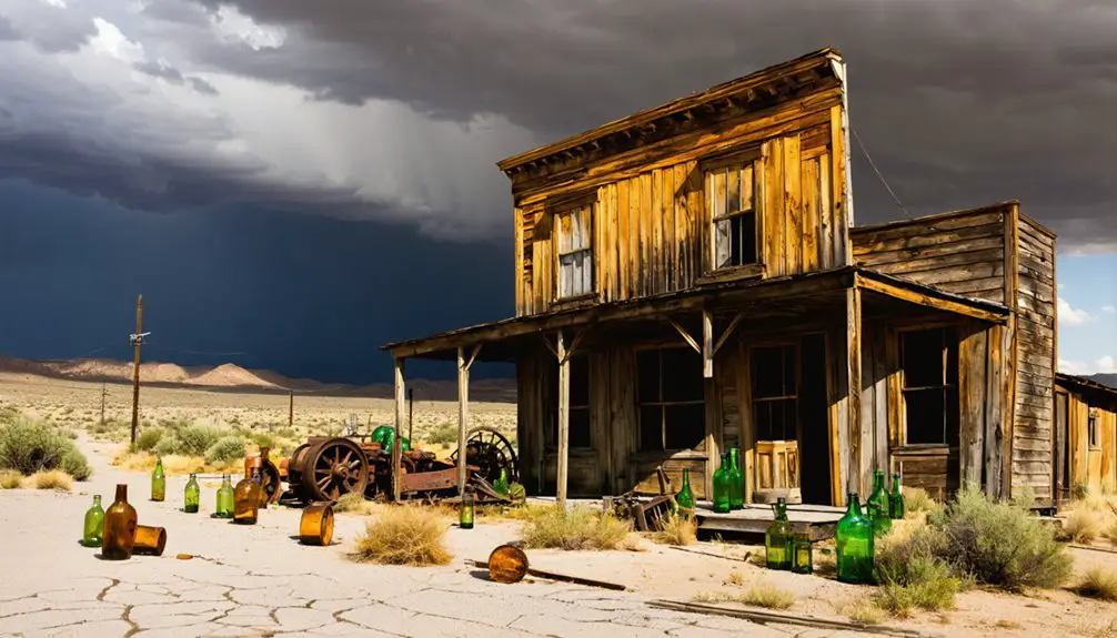
Old mining and machinery buildings remain visible to your right, though fencing and security cameras keep you at a respectful distance.
Exploratory drilling activity spotted in 2022 signals that Ruby Hill’s story isn’t fully written yet, meaning the landscape could shift again.
Visitor tips: bring a camera, stay on accessible paths, and avoid gated areas.
What remains is sparse but honest — a raw snapshot of boom-and-bust Nevada written directly into the earth.
When to Go and What the Roads Are Really Like
Timing your visit to Ruby Hill matters more than you might expect. Spring and fall deliver the clearest skies and manageable temperatures for exploring town remnants without brutal heat or icy roads complicating your trek. Avoid winter entirely.
Two roads access the site. One’s an old paved road, weathered and rough. The other’s an unpaved route demanding a capable vehicle with solid clearance. Don’t trust GPS blindly — it’ll steer you straight toward fenced, gated areas monitored by security cameras protecting surviving mining techniques equipment and machinery buildings.
Go early in the day before afternoon winds pick up and dust obscures visibility. Ruby Hill rewards prepared visitors who respect its boundaries, move carefully through what remains, and understand they’re orchestrating active exploration territory, not a tidy tourist destination.
Nearby Ghost Towns Worth Adding to Your Eureka County Route
While you’re already pointed toward Eureka County, don’t stop at Ruby Hill. The region holds several forgotten settlements where ghost town legends run deep and old mining techniques left permanent scars across the landscape.
- Cortez – Perched in the Cortez Mountains, this silver camp still shows crumbling adobe walls and rusted stamp mill frames against an open sky.
- Hamilton – Once a White Pine County border rival, Hamilton’s burned-out courthouse shell tells a story of boom, fire, and abandonment you won’t forget.
- Beowawe – A quiet plateau town where geothermal steam vents eerily surround the old cemetery, blurring the line between natural and man-made desolation.
Each stop adds miles of open road and layers of raw, unfiltered Western history to your route.
Frequently Asked Questions
What Was Ruby Hill’s Peak Population During Its Mining Boom Years?
Ruby Hill’s historical mining boom peaked at 2,500 residents by 1878, with over 900 miners driving that growth. You’ll find ghost town preservation efforts honoring this vibrant past when you visit today.
When Did Ruby Hill’s Post Office Officially Close Down?
Ruby Hill’s post office officially closed in 1901, marking the town’s end. You’ll find historic preservation efforts keeping local legends alive, echoing the freedom-seekers who once roamed these now-silent, storied Nevada streets.
Who Originally Discovered the Ruby Hill Mining Area in 1869?
Boldly blazing trails, you’ll discover that mining history credits an Indigenous guide leading Owen Farrel, M.G. Clough, and Alonzo Monroe with Ruby Hill’s 1869 find—ghost town legends forever honoring their remarkable, freedom-forging discovery.
Is Exploratory Drilling Still Actively Happening at Ruby Hill Today?
As of 2022, you’ll find exploratory drilling actively reshaping Ruby Hill’s future, where cutting-edge mining technology collides with ghost town preservation efforts, leaving this historic site’s destiny uncertain — freedom-seekers should visit before it transforms forever.
What Are the Exact GPS Coordinates for Navigating to Ruby Hill?
You’ll find Ruby Hill’s ghost town history at 39.50472°N, 115.98611°W. Navigate carefully—GPS might lead you toward gated mining techniques infrastructure. Respect the site’s freedom-honoring spirit as you explore this legendary Nevada landmark.
References
- https://www.nvexpeditions.com/eureka/rubyhill.php
- https://www.rainesmarket.com/history-of-the-ruby-hill-area.html
- https://en.wikipedia.org/wiki/Ruby_Hill
- https://www.darkvibestruecrime.com/post/nevada-ghost-towns-ruby-hill
- https://pt.wikipedia.org/wiki/Ruby_Hill