Runnymede, Kansas is a ghost town in Harper County with roots in a bold 1880s settlement scheme that never quite took hold. To reach the historical marker, you’ll head southwest from Wichita on Highway 42, passing through Viola before shifting to Highway 2 into Harper County. Late May to early June offers stunning golden wheat fields as your backdrop. Stick around — there’s a richer story waiting just down these quiet gravel roads.
Key Takeaways
- Runnymede is a ghost town in northeastern Harper County, Kansas, with a historical marker at 140th Road and 60th Ave.
- Travel southwest from Wichita on Highway 42 through Viola and Suppeville, then transition to Highway 2 into Harper County.
- The best time to visit is late May to early June when golden wheat fields provide dramatic visual contrast.
- Spring visits offer scenic green wheat fields, but heavy rains may create muddy, difficult-to-navigate county roads.
- Fall offers reliable dry road conditions and clear skies, making September to October a practical alternative visit period.
What Was Runnymede, Kansas?
Once a planned settlement carved out of the Kansas prairie, Runnymede was an ambitious project launched in the late 1880s by an Irishman named F. J. S. Turnley. He purchased roughly 1,500 acres spanning Harper and Kingman counties, staking his vision along the west side of the Chicaskia River.
Runnymede history reflects a broader Kansas pattern — bold beginnings that couldn’t outlast shifting economies and rural depopulation.
Bold beginnings, broken promises — Kansas towns that rose with ambition and vanished with the harvest.
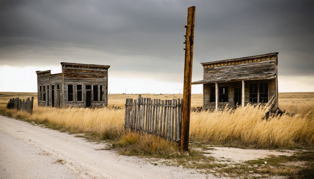
Today, wheat fields swallow what was once a functioning town. That quiet erasure is exactly what gives this place its ghost town significance.
You won’t find standing buildings or crowded streets. What you’ll find instead is a historical marker, open sky, and the rare satisfaction of standing somewhere most people drive past without ever knowing what’s buried beneath their wheels.
Where Runnymede Sits in Harper County Today
Knowing what Runnymede was makes finding it that much more rewarding.
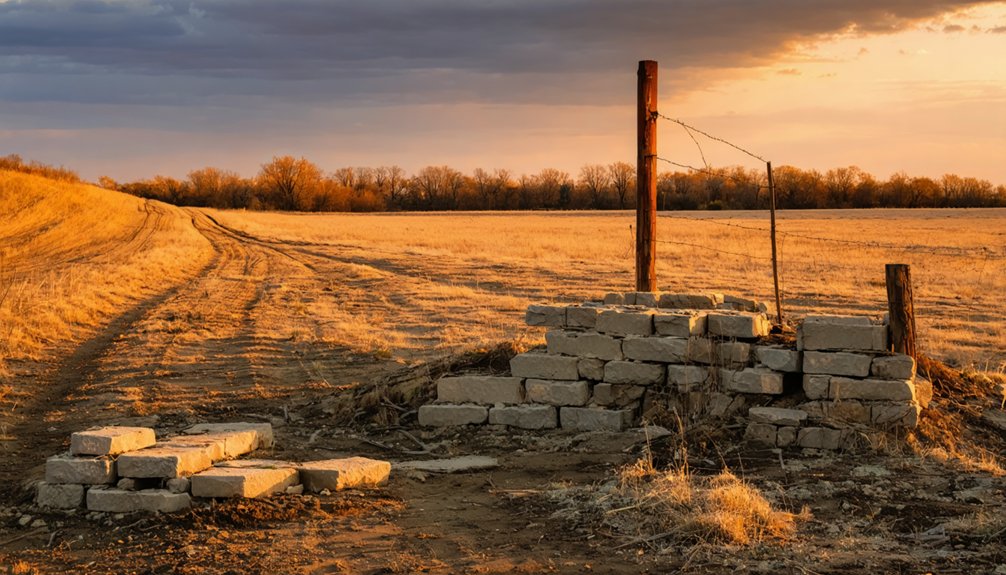
Today, Runnymede geography places this ghost town significance beneath open wheat fields in northeastern Harper County, near the Kingman County line. You won’t find standing structures — just flat farmland, open sky, and a historical marker anchoring the story to real ground.
Here’s what orients you on-site:
- The marker stands at 140th Road and 60th Ave.
- The original townsite sits two miles northeast of that marker.
- The land straddles Harper and Kingman counties.
- Access runs along the Kansas Highway 2 corridor.
You’re standing where Turnley’s 1,500-acre vision once took shape.
That contrast — wheat fields swallowing a planned town — is exactly why you made the drive.
The Irishman Who Planned Runnymede on 1,500 Acres
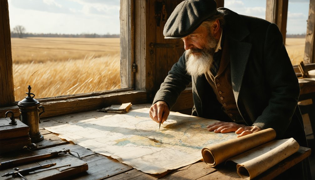
Behind every ghost town is someone who believed it wouldn’t be one. For Runnymede, that person was F. J. S. Turnley, an Irishman with ambition and a land deed. Turnley’s vision stretched across 1,500 acres spanning Harper and Kingman counties, anchored near the west bank of the Chicaskia River.
He laid out a planned settlement with intention, carving Township 33 into something he expected to last.
When you stand at that marker today, surrounded by wheat, you’re standing inside what Turnley believed was a future. He wasn’t reckless — he bought real land, drew real boundaries, and built real structures.
The plains just didn’t cooperate. That gap between bold plans and quiet endings is exactly what makes Runnymede worth the drive.
How to Drive to the Runnymede Historical Marker
Getting to Runnymede means threading through four Kansas counties — Sedgwick, Sumner, Kingman, and Harper — on a route that feels like the land itself is testing your commitment.
Rural depopulation emptied these roads decades ago, leaving ghost town history baked into every quiet mile.
These roads don’t just lead somewhere forgotten — they *are* the forgetting.
Follow this route:
- Head southwest from Wichita on Highway 42, passing Viola and Suppeville.
- Shift onto Highway 2 as you cross into Kingman County.
- Push into northeastern Harper County until you reach NE 140 Road and NE 60 Ave.
- Stop at the Old Runnymede historical marker — the original townsite sits two miles northeast.
You won’t fight traffic.
You’ll fight the urge to keep driving past wheat fields that swallowed an entire town whole.
What You’ll Actually See at the Runnymede Ghost Town Site
Wheat fields swallowed Runnymede completely, and that’s exactly what you’ll find when you pull up to the marker at 140th Road and 60th Ave — cropland running flat to the horizon where F. J. S. Turnley once planted a town across 1,500 acres.
The ghost town history here lives entirely in the marker text and your imagination. No foundations break through the soil, no fence lines suggest former lots. The agricultural significance of this land replaced everything Turnley built, and wheat now owns what settlers once claimed.
The actual townsite sits roughly two miles northeast of where you’re standing. You’re not looking at ruins — you’re looking at erasure. That distinction makes Runnymede hit harder than most ghost towns you’ll visit on this stretch of Kansas.
Harper County Ghost Towns Near Runnymede Worth the Detour
Harper County has others worth pulling off the road for once you’ve marked Runnymede on your map.
Ghost town exploration here rewards the curious traveler willing to chase rural history down gravel roads.
Add these stops to your route:
- Anthony – the county seat holds remnants of boomtown architecture worth photographing.
- Bluff City – a faded settlement where the silence speaks louder than any marker.
- Freeport – platted with ambition, abandoned without ceremony.
- Danville – sits quietly near the state line, carrying decades of agricultural decline in its bones.
Each stop deepens your understanding of why towns like Runnymede vanished.
Each stop adds another layer to the quiet mystery of why places like Runnymede simply ceased to exist.
You’re not just driving Kansas back roads—you’re reading a landscape that refuses to forget its own story.
When to Visit Runnymede for the Best Wheat Field Views
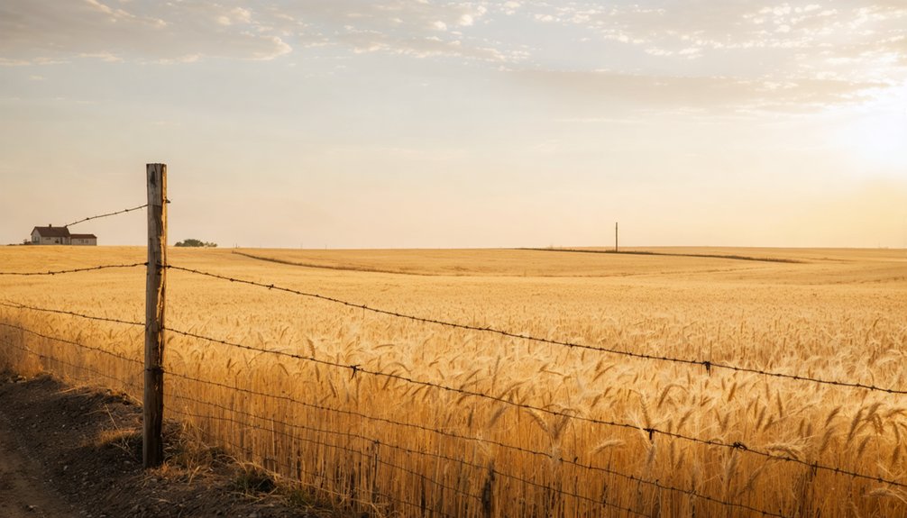
You’ll want to time your visit for late May or early June, when Kansas winter wheat reaches its golden peak and the fields stretching over the buried townsite glow with an almost cinematic intensity.
Early morning light hits the grain at a low angle, sharpening the contrast between the historical marker and the surrounding landscape in a way that mid-day sun simply can’t match.
Check road conditions before heading out, since the rural Harper County routes leading to 140th Road and 60th Ave. can turn soft after spring rains.
Peak Wheat Growing Season
If you’re timing your visit to Runnymede, late May through early June delivers the most striking contrast between past and present—golden wheat stretching to the horizon over the very ground where F. J. S. Turnley once built his planned settlement.
Wheat harvesting and agricultural practices have shaped this land for over a century.
Plan around these seasonal markers:
- Late May – Wheat reaches full golden height before cutting begins
- Early June – Active wheat harvesting equipment moves across the fields, adding dramatic motion
- Midweek mornings – Softer light highlights the marker against open farmland
- Avoid late June – Harvested fields lose visual impact quickly
You’ll feel the tension between erasure and endurance most powerfully when the crop stands tallest above Runnymede’s buried streets.
Ideal Lighting Conditions
Timing your arrival around the light transforms a quiet roadside marker into something that actually earns the drive. The best time to visit Runnymede is either golden hour after sunrise or the hour before sunset. Both windows create ideal photography conditions, casting long shadows across the wheat and warming the historical marker against an open Kansas sky.
Midday light flattens everything — the fields look ordinary, and the marker reads like any roadside sign. But arrive early or late, and the landscape shifts. The wheat catches fire. The marker casts a real shadow.
Suddenly, you’re standing where F. J. S. Turnley’s planned settlement once stood, and the emptiness feels deliberate rather than accidental. Let the light do the work of telling that story.
Weather And Road Access
Weather shapes what you find when you reach Runnymede — and out here, that’s not a minor consideration. Kansas weather patterns shift fast, and rural road conditions follow. Plan smart.
- Spring (April–May): Wheat greens up beautifully, but heavy rains turn county dirt roads into mud traps.
- Early Summer (June): Golden wheat fields peak just before harvest — your best visual contrast against the historical marker.
- Fall (September–October): Dry road conditions make access reliable, though harvested fields lose dramatic depth.
- Winter (December–February): Ice locks down rural routes entirely — avoid unless you’re chasing a specific shot.
You’re traversing unpaved county roads near 140th and 60th Ave., so check local forecasts before you go. Freedom favors the prepared traveler.
Frequently Asked Questions
Is There an Admission Fee to Visit the Runnymede Historical Marker?
You won’t pay any admission fees to visit the Runnymede historical marker — it’s freely accessible on public roads. Embrace the open spirit of discovery as you explore its profound historical significance across those sweeping Kansas wheat fields.
Can I Find Runnymede Listed on Google Maps or GPS Apps?
You might think GPS accuracy guarantees you’ll find it easily — and you’re partly right! Runnymede accessibility exists on some apps, but cross-reference with the 140th Road and 60th Ave. marker to confirm you’ve truly arrived.
Are There Any Local Guided Tours of Harper County Ghost Towns?
No formal guided tours exist, but you’ll find that diving into local history through county historical societies fuels your own ghost town exploration — letting you chart Harper County’s vanished past entirely on your own adventurous terms.
Is the Road to the Runnymede Marker Paved or Gravel?
The knowledge doesn’t confirm whether it’s paved roads or gravel paths, but you’ll navigate rural Harper County roads to reach the marker at 140th Road and 60th Ave., where wheat fields swallow history whole.
What Other Kansas Counties Have Similar Planned Settlement Ghost Towns?
You’ll find abandoned settlements with historical significance scattered across Ellis, Rice, and Barton counties, where dreamers once platted bold planned towns that didn’t survive. Each county’s ghost trails reward your adventurous spirit with forgotten stories waiting to be uncovered.
References
- http://explorekansas.blogspot.com/2013/06/runnymede-kansas.html
- https://books.google.com/books/about/Ghost_towns_of_Kansas.html?id=UwslAAAAMAAJ
- https://www.legendsofamerica.com/ks-ghosttowns/
- https://legendsofkansas.com/harper-county-kansas-extinct-towns/
- https://www.visitoldmeadecounty.com/newpage815e5c49
- https://www.sierraclub.org/kansas/blog/2022/09/featured-waypoint-old-runnymede-marker
- https://www.youtube.com/watch?v=cCYq7ObLiCM
- https://en.wikipedia.org/wiki/Runnymede
- https://en.wikipedia.org/wiki/List_of_ghost_towns_in_Kansas
- https://legendsofkansas.com/runnymede-kansas/


