You’ll need to adjust your expectations before planning a trip to Salero, as this historic Spanish mining site sits on private Salero Ranch land with strictly enforced no-trespassing policies. Located seven miles northwest of Patagonia via Forest Service Road 143, you can only glimpse the three main adobe buildings and scattered mining artifacts from a distance. Spring and fall offer the best viewing conditions, though nearby accessible ghost towns like Alto provide more satisfying alternatives for exploring Southern Arizona’s rich mining heritage.
Key Takeaways
- Salero sits on private Salero Ranch land with strict no-trespassing policies, allowing only distant views from Forest Service Road 143.
- Visit during spring or fall for mild temperatures and wildlife viewing; avoid summer’s extreme heat and thunderstorms.
- Access via Forest Service Road 143, located 7 miles northwest of Patagonia in the Santa Rita Mountains.
- Three adobe buildings with metal roofs and mining artifacts remain visible from permitted viewing areas outside the gates.
- Consider visiting nearby accessible ghost towns like Alto since Salero prohibits entry, guided tours, and self-exploration.
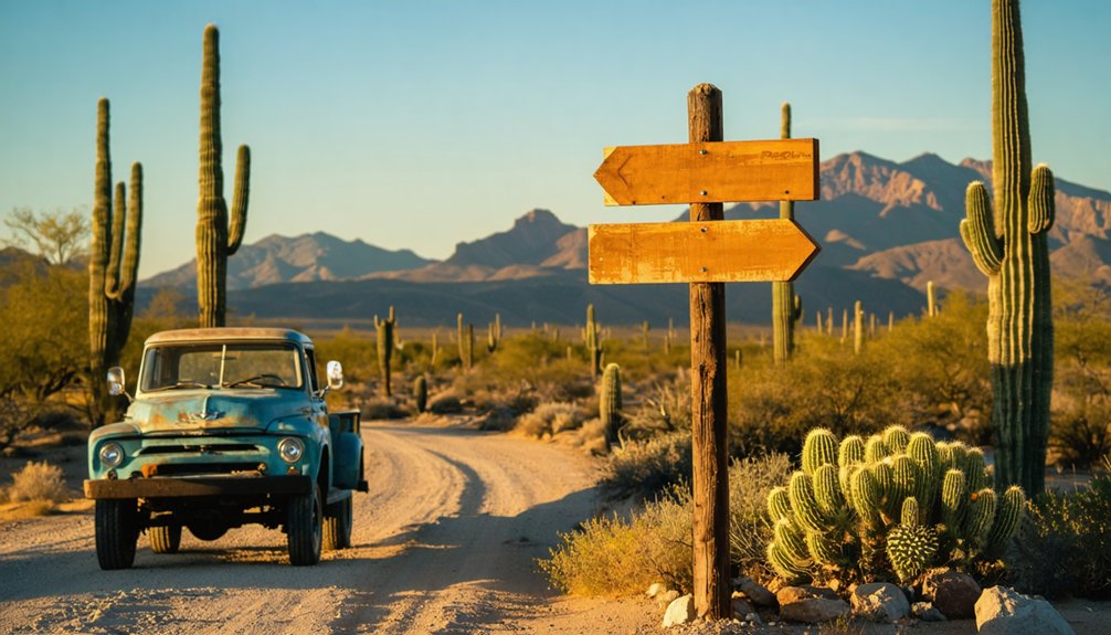
Getting to Salero: Routes and Road Conditions
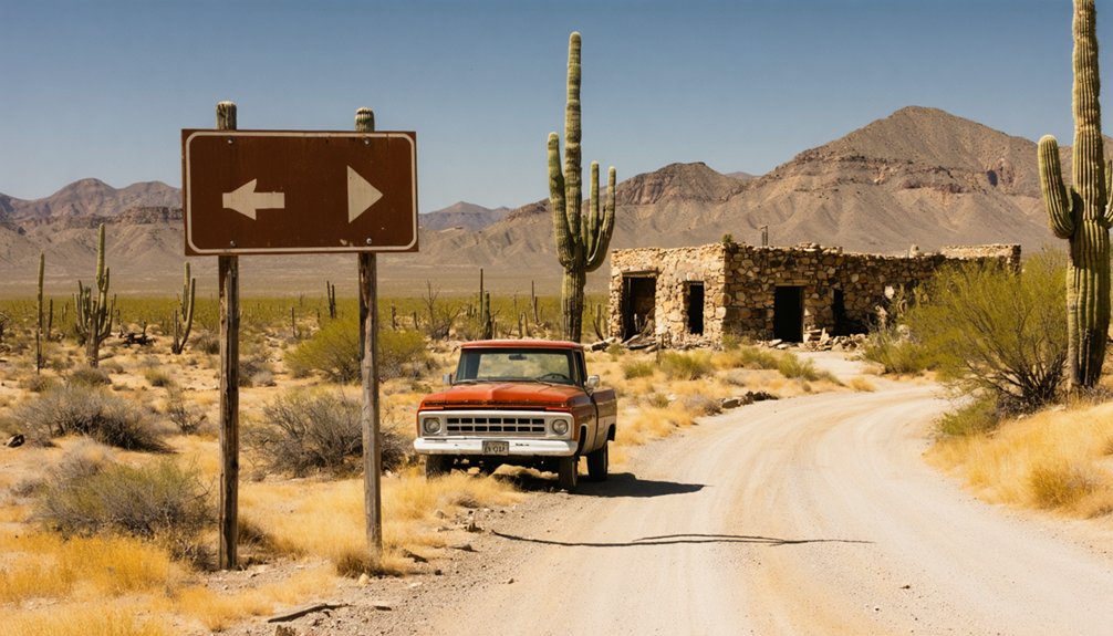
Nestled in the rugged Santa Rita Mountains of Santa Cruz County, Salero ghost town lies approximately seven miles northwest of present-day Patagonia, perched at 4,606 feet where the high desert meets mountain terrain. You’ll reach the area via Forest Service Road 143, where two-wheel drive vehicles handle the bumpy route through southern mountain passages.
While alternate routes considered include the 45-mile ghost town loop connecting five historic sites, private property concerns severely limit access. The entire townsite sits on Salero Ranch land, with trespass signs protecting against vandalism. You’re restricted to viewing ruins from a distance unless you’ve secured permission from property owners.
Winter, spring, and fall offer favorable travel conditions, though Alto and Kentucky Camp nearby provide more accessible alternatives for your ghost town exploration.
What Remains at the Salero Ghost Town Site
You’ll find three main adobe buildings rising from the desert floor, their earthen walls now reinforced to hold back time’s relentless erosion. Corrugated metal roofs cap these 1870s structures, while an old smelter sits tucked against the cliff side—a relic from ore processing operations that George Clark established after moving his camp east.
Beyond these standing remnants, mine tailings scar the hillsides, and archaeologists suspect Spanish mining works lie buried beneath the pioneer-era foundations.
Standing Structures and Ruins
Though time and desert winds have reduced Salero to scattered fragments, enough structures cling to the landscape to sketch the town’s former footprint. You’ll spot three main buildings with corrugated metal roofs sheltering crumbling adobe architecture, their walls surrendering to mesquite and prickly pear.
The deterioration timeline accelerated after the 1890 post office closure, though early 1900s buildings on private land remain surprisingly intact behind gated access. Mining officials’ residences have collapsed into foundation outlines, while gray-plastered miners’ dormitories still mark the southern edge.
West of the hotel ruins stands a jail labeled “City Hall,” and a concrete powder house survives along a minor dirt road. Stone wall remnants and a waterless fountain foundation complete this skeletal camp visible from Forest Service Road 143.
Mining Equipment Artifacts
Scattered across Salero’s hillsides and half-buried in mine tailings, rusted hand tools tell the story of men who carved fortunes from unyielding rock one hammer blow at a time. You’ll find single-jack hammers beside steel drill bits, remnants of backbreaking labor before pneumatic drills revolutionized deep-shaft operations.
Dynamite cans stamped with Union Carbide markings lie near blast holes, while ore car rails still span stopes where mineral composition analysis once determined shipment priorities to Tucson smelters. Carbide lamps, their brass fittings corroded green, rest where miners left them. Preservation challenges mount as Arizona’s extreme temperatures accelerate deterioration, yet these artifacts remain authentic witnesses to frontier enterprise.
Each rusted fragment represents men who chose autonomy over comfort, risking everything beneath thousands of feet of solid rock.
Best Time to Visit Southern Arizona’s Santa Rita Mountains
You’ll find the Santa Rita Mountains most rewarding during spring’s wildflower explosion (March-May) or fall’s post-monsoon clarity (September-October), when mild temperatures between 66°F and 75°F make hiking to Salero’s ruins comfortable.
Summer’s punishing heat and violent thunderstorms can strand you on washed-out mining roads, while winter’s short days limit exploration time despite pleasant conditions.
Time your visit to coincide with spring’s ocotillo blooms or fall’s migrating raptors, when the desert reveals why prospectors endured this unforgiving landscape for silver’s promise.
Seasonal Weather Considerations
When planning your ghost town road trip to Salero in the Santa Rita Mountains, you’ll find the region’s 4,500-foot elevation creates a sweet spot between scorching desert valleys and alpine extremes. Seasonal temperature patterns shift dramatically—winter brings mild 50s perfect for exploring abandoned structures, while summer’s 90s demand early morning departures.
Spring and fall deliver that goldilocks zone: comfortable 60s to 80s for wandering through Salero’s remnants without constraint.
Seasonal precipitation patterns shape your adventure timeline. February and March see over two inches of rain, potentially making dirt roads treacherous. Late spring offers bone-dry conditions ideal for remote exploration. July through September brings monsoon thunderstorms that transform desert washes into rushing torrents within minutes.
Time your journey during shoulder seasons for unfettered access to Arizona’s hidden historical treasures.
Wildlife and Wildflower Viewing
The Santa Rita Mountains harbor over 250 bird species in Madera Canyon alone—a biodiversity jackpot that transforms your ghost town excursion into a naturalist’s pilgrimage. You’ll traverse unique wildlife habitats where Elegant Trogons flash crimson in oak-shaded canyons and fifteen hummingbird species patrol native flowering plant species at Santa Rita Lodge.
Northern Goshawks patrol pine forests while jaguars prowl these borderland ranges. Spring through early summer delivers peak warbler migrations and blooming agaves that draw Lesser Long-nosed Bats. Late summer monsoons awaken Cassin’s Sparrows and ignite hillsides with wildflower explosions.
Black bears, coatis, and the venomous Arizona Ridge-nosed Rattlesnake complete this sky island ecosystem. Time your Salero journey when breeding season overlaps with desert bloom—you’ll witness evolution’s laboratory in action.
Behind locked gates and stern warnings, Salero ghost town sits frozen in time on the private Salero Ranch, where owners maintain a hardcore no-trespassing policy that’s proven impenetrable to casual visitors. The neglected bunkhouse and assay office remain visible from Forest Service Road 143, though requesting access permission from ranch owners consistently meets refusal. They’ve prioritized artifact preservation over public exploration, citing vandalism concerns and the protection of Spanish mining history locked within crumbling adobe walls.
Unlike Chrysotile’s $50 day passes or Goldfield’s structured tours, Salero offers no permitted entry—no guided walks, no self-exploration options. You’re left capturing distant glimpses through binoculars while traveling permissive roads that skirt the property. Once past ranch boundaries onto public lands, rough trails open toward Alto ghost town, but Salero’s core structures remain perpetually off-limits, their stories whispered only through windswept walls.
Essential Gear and Supplies for Your Desert Adventure
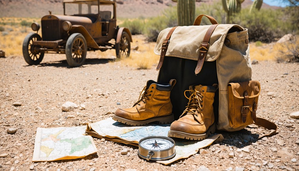
Even from a respectful distance outside Salero’s locked gates, southern Arizona’s unforgiving Sonoran landscape demands you come prepared or risk becoming part of its cautionary folklore. Your desert hiking essentials start with water—one quart per hour minimum—plus high-SPF sunscreen reapplied religiously every two hours.
Don’t underestimate sun protection strategies: wide-brimmed hats, UV-blocking sunglasses, and moisture-wicking layers separate comfortable explorers from those who learn expensive lessons. Pack lightweight hiking boots to navigate cactus-studded terrain, offline maps for spotty signal areas, and emergency supplies including non-perishable snacks. Your vehicle needs a full tank, spare tire, and basic tools.
The desert rewards preparation and punishes assumptions—prospectors learned that truth the hard way, their abandoned dreams still visible through Salero’s fences.
The Spanish Mining Legacy: From Salt Cellars to Silver
Long before Salero’s name appeared on American mining claims, Spanish prospectors had already carved fortunes from these sun-scorched mountains, their pickaxes ringing against silver veins that would eventually adorn mission walls throughout Nueva España. José Romo de Vivar pioneered these operations around 1680, establishing ranches and mining towns that fed the mission silver craftsmanship you’ll still find at Tumacácori and San Xavier del Bac.
The 1736 Planchas de Plata discovery ignited worldwide fever, drawing fortune-seekers into Apache country. Yet freedom came at a price—the Pima uprising impact of 1751 sent colonists fleeing, abandoning their mines to desert winds. Though settlers returned after Tubac’s presidio rose in 1752, relentless Apache raids kept operations sporadic through the 1770s, leaving countless veins unexploited and legends born.
Nearby Attractions in Santa Cruz County
Santa Cruz County rewards ghost town explorers with riches beyond abandoned mines—rolling grasslands that stretch toward Mexico, mountain trails climbing to 9,456-foot summits, and vineyards thriving where conquistadors once searched for silver.
Where conquistadors hunted silver, ghost town explorers now discover grasslands, mountain peaks, and flourishing vineyards stretching toward the Mexican border.
Adventures Worth Your Time:
- Nearby vineyards between Sonoita and Elgin offer tastings on decks overlooking the Santa Ritas, where perfect soil replaces silver veins with cabernet sauvignon roots.
- Madera Canyon and Patagonia-Sonoita Creek Preserve showcase diverse birdlife—over 400 species migrate through these canyons where Apache warriors once tracked game.
- Arizona Trail segments and Las Cienegas’ 45,000 grassland acres let you follow routes older than maps, where cattle ranchers and prospectors navigated by mountain landmarks.
Patagonia Lake State Park provides base camp for multi-day explorations through this high desert borderland.
Photography Tips for Capturing Historic Mine Sites
When Timothy O’Sullivan descended into Nevada’s Comstock mines in 1867, he burned magnesium wire to capture what daylight couldn’t reach—a technique that would’ve served photographers well at Salero’s abandoned shafts.
Today’s low light photography techniques require fast glass: bring a 24-70mm f2.8 and 70-200mm f2.8 for underground work. You’ll need that tripod for exposures stretching to 30 seconds at f10, ISO 100. Shoot at f8 or f11 to render rusted steel structures sharp from foreground to background.
Minimize lens changes—sensor dust becomes your enemy in Salero’s grit. O’Sullivan even improvised historic underground darkroom methods in a railcar.
For storytelling power, frame machinery with unconventional angles, bracket exposures, and choose cooler tones that honor weathered metal over warm processing.
Safety Precautions for Exploring Abandoned Mining Areas
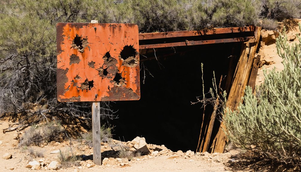
Beyond the romance of rusted headframes and weathered timber, Salero’s abandoned workings conceal hazards that’ve claimed lives since the Bureau of Mines started counting. Responsible mining site exploration demands acknowledging these vertical shafts aren’t Instagram backdrops—they’re unmarked graves waiting to happen.
These shafts aren’t photo ops—they’re death traps that’ve been collecting bodies since prospectors first struck rock.
Avoiding mine shafts and adits requires understanding what you’re facing:
- Vertical drops into flooded darkness where water’s so cold your muscles seize before you drown, assuming the fall doesn’t kill you first.
- Explosives from the 1880s forward lying dormant in tunnels, unstable enough that your footfall might be the last vibration they need.
- Toxic air pockets in underground workings where oxygen-starved atmospheres drop experienced miners before they realize they’re suffocating.
Stay surface-side. Your freedom includes choosing to walk away intact.
Frequently Asked Questions
Are There Any Accommodations or Camping Facilities Near Salero Ghost Town?
You’ll find nearby bed and breakfasts like Ghost City Inn in Jerome, thirty miles away, offering Victorian-era charm. Camping options in nearby areas include Alto Ghost Town’s open spaces, where you can pitch your tent beneath Arizona’s star-filled skies.
What Mining Techniques Did Mexican Miners Use at Salero in the 1700S?
You’ll discover miners wielded traditional Spanish artisanal mining methods—hand-drilling oxidized silver outcrops, crushing ore with primitive tools, then employing mercury amalgamation and smelting techniques inherited from colonial Mexico’s freedom-seeking prospectors who braved Apache territory.
Can I Collect Artifacts or Minerals From the Salero Site?
No, you can’t collect anything from Salero. It’s private property where collecting historical artifacts and disturbing cultural sites is strictly prohibited. Trespassing risks legal consequences, and these protections preserve Arizona’s multicultural mining heritage for future generations.
How Long Did the Salero Mining Company Operate After 1857?
You’d need a seriously long-term investment strategy—Salero mining operations ran 60+ years from 1857 into the 1920s. Despite Apache raids and relocations, miners kept chasing those mineral deposits at Salero, embodying true frontier persistence and independence.
Are There Any Guided Tours Available for the Salero Ghost Town?
No guided tours availability exists for Salero Ghost Town—you’ll explore independently using offline maps and waypoints. Local tour guides don’t operate here, giving you complete freedom to navigate the rugged Santa Rita Mountains terrain at your own pace.


