You’ll find Selbysport’s ghost town entirely submerged beneath Youghiogheny Reservoir’s waters, about a quarter-mile upstream from where Route 53 crosses north of Friendsville. The Army Corps flooded Maryland’s oldest western settlement in 1944, leaving streets and homesteads twenty to thirty feet underwater. You can launch boats from South Selbysport Access to position yourself above the drowned community, where narrow-gauge railroad remnants and bridge abutments still trace forgotten pathways through what locals call a uniquely subaquatic piece of Garrett County’s vanished frontier heritage.
Key Takeaways
- Selbysport lies submerged beneath Youghiogheny Reservoir, approximately a quarter-mile upstream from Route 53 bridge north of Friendsville.
- The town was flooded in 1944 when the Army Corps of Engineers dammed the Youghiogheny River.
- Access the site via South Selbysport Access area or boat launching facilities along the lake’s southern shore.
- Normal water levels submerge the ghost town under twenty to thirty feet of water.
- Nearby campgrounds provide base camp options, with narrow-gauge railroad remnants visible along submerged Bear Creek valley.
The Rise and Fall of Garrett County’s Oldest Settlement
Before Friendsville claimed its place on Maryland maps, Selbysport had already carved out an existence along the Youghiogheny River‘s western bend. You’ll find this forgotten settlement predates its neighbor, rooted in 1765 when Gabriel Friend first pushed into territory Native Americans called Hunter’s Bowl.
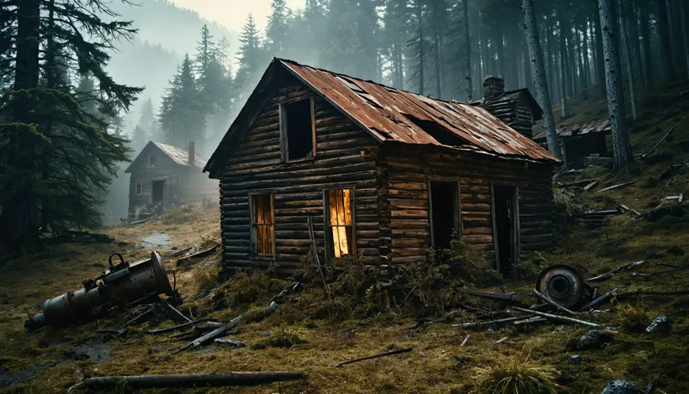
The settler profiles tell stories of families like the Steeles and Liningers working fertile bottomland, building Maryland’s oldest Garrett County foothold. Western Maryland’s folklore runs deep in these hills, where early German settlers once whispered tales of mysterious creatures in the 1730s. Like many settlements in Garrett County’s ghost towns, Selbysport witnessed the boom and decline that marked the region’s industrial transformation.
What Remains Beneath the Yough Lake Reservoir
If you could drain the Youghiogheny Reservoir today, you’d trace the precise footprint of Selbysport’s streets where they meet the Maryland shoreline, stretching beneath sixteen miles of water that now separate Friendsville from the dam at Confluence.
The old narrow-gauge railroad cuts a ghostly path through the lakebed, its alignment still readable in the positioning of submerged hotel foundations and mill ruins whose doors once opened directly onto loading platforms. Original train trestle supports still stand just downriver from Friendsville, marking where passengers once disembarked before the flood. These underwater boundaries mark where ten communities ended and the reservoir began—a preserved map of settlement that exists only in the dark silence below the surface.
The Youghiogheny Hydro-Electric Corporation gained construction rights in 1921, setting in motion the transformation that would submerge these communities beneath what became one of the region’s defining engineering projects.
Submerged Settlement Site Boundaries
When the Army Corps of Engineers dammed the Youghiogheny River in 1944, they erased Selbysport’s physical boundaries but couldn’t erase the footprint it left beneath Yough Lake Reservoir. You’ll find the submerged town site along the river’s original bend, where former habitation plans stretched across fertile bottomlands once farmed by the Steele, Lininger, and Guard families.
At extreme highwater, the reservoir extends to Friendsville’s town boundary, covering everything that made Selbysport Maryland’s first official western settlement in 1824.
The historical cemeteries nearby—like Steele Cemetery perched on slopes above the waterline—mark where the living community ended. Below, narrow-gauge rail approaches and Gabriel Friend’s original property holdings rest under deep water, their exact locations known only through old survey maps and fading memory.
Original Narrow-Gauge Rail Traces
Somewhere beneath Yough Lake’s surface, the 36-inch rails of the Clark & McCullough Railroad still trace their 1894 route along the submerged Bear Creek valley. You’re standing above 25 miles of engineering ambition that conquered remote mountainous terrain, climbing eastward over Negro and Meadow Mountains to Swanton. The railroad construction challenges were immense—blasting roadbeds through Garrett County’s rugged landscape, laying track where timber barons saw fortune in “inexhaustible” forests.
When crews pulled up those rails in 1942, they left behind grade cuts, bridge abutments, and ballast beds. Now they’re ghostly contours on the reservoir floor, visible only when drought drops water levels. The narrow gauge that once carried 50,000 board feet daily from Friendsville’s sawmill rests silent, marking paths you’ll never walk. Like the Peach Bottom Railway that constructed its narrow gauge line between 1873 and 1876, early railroad builders chose the economical 36-inch gauge for navigating challenging terrain. The Bear Creek Railroad operated 4 locomotives, mostly Climaxes, which hauled timber along the 26 miles of main track and spurs before operations ceased in 1905.
Getting to the Submerged Town Site
You’ll find the ghost town site by following Route 53 north from Friendsville, where the highway now crosses the Youghiogheny on a modern bridge built where railroad trestles once stood.
Park along the shoulder near the bridge’s south end, then scan the reservoir’s expanse—during normal water levels, Selbysport rests invisible beneath twenty to thirty feet of water.
The submerged town lies roughly a quarter-mile upstream from your vantage point, marked only by the gentle curve of wooded shoreline where Bear Creek once met the river. From this elevated position at 1,549 feet, you’re viewing one of the region’s most dramatic transformations where a thriving community once stood.
Approaching Via Garrett Roads
The journey to Selbysport’s submerged remains begins in Friendsville, the nearest town and your primary staging point in northern Garrett County. You’ll navigate elevation drops from 1,549 feet down to 1,483 feet as you wind through mountain terrain toward the ghost town coordinates at 39.68647°N, -79.3803153°W.
As you approach the ghost town history of selbysport, you’ll discover remnants of the past, including old structures overrun by nature and stories whispered by long-gone inhabitants. The eerie silence that envelops the area invites exploration, revealing artifacts and clues about the lives that once thrived in this forgotten place. Be prepared for a hauntingly beautiful experience that captures both the allure and melancholy of a bygone era.
MapQuest directions guide you through ZIP code 21531, but be aware that restricted roadways may limit direct water access to the submerged site. Local transportation options include connecting routes along the Youghiogheny River corridor, where adventure seekers typically launch expeditions. The site falls within UTM Zone 17S, with precise easting and northing coordinates available for GPS navigation systems.
The roads trace historic paths near National Road remnants, offering panoramic views of Garrett County’s forested landscape. Selbysport holds a National Register of Historic Places designation, reflecting its cultural significance despite its current submerged state. Contact Mayor Spencer Schlosnagle at 301.746.5919 for current route conditions before departure.
Yough Lake Reservoir Landmarks
Spanning 2,800 acres across the Pennsylvania-Maryland border, Youghiogheny River Lake stretches 16 miles northward from just above Friendsville, with its southern portion branching into an upside-down Y-shape where Selbysport once stood.
You’ll navigate 38 miles of rocky shoreline punctuated by sunken trees and stumps—remnants of the forest drowned when the dam filled in 1944. Water level fluctuations dramatically reshape what you’ll see, especially during fall drawdown when the reservoir drops extensively.
At extreme lows, you might spot foundations and roads emerging from depths averaging 54 feet. The maximum depth reaches 121 feet near the dam in Confluence, Pennsylvania. The South Selbysport Access provides your closest approach to the submerged town site. From the Youghiogheny Overlook Welcome Center off I-68, you’ll gain perspective on this watery grave holding an entire community beneath its surface.
Parking and River Access
Finding your way to where Selbysport disappeared beneath the waves requires reaching the South Selbysport Access area along the lake’s southern shore. You’ll navigate winding backroads through Garrett County’s forested hills until you spot the access point. While specific infrastructure details remain limited, boat launching facilities provide your gateway to exploring the submerged ghost town beneath Yough Lake‘s surface. From the water, you can position yourself above where streets and structures once stood before the 1944 flooding.
The downstream trestle supports visible from certain angles mark the town’s former railroad connection. Nearby campgrounds offer base camp options for extended exploration, letting you return multiple times to different coordinates above the drowned community. Trail construction plans suggest future land-based access points may eventually supplement water approaches.
Historic Landmarks Around Friendsville

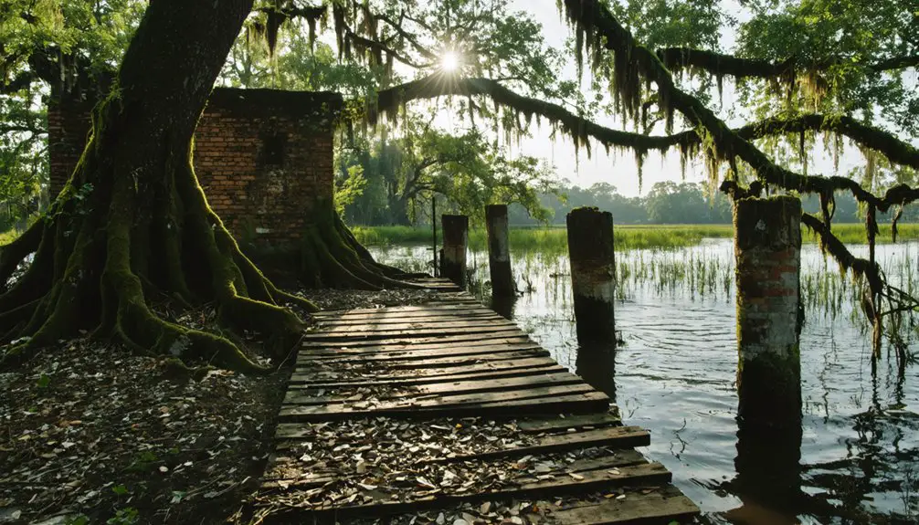
Nestled along the Youghiogheny River‘s western bank, Friendsville reveals layers of human history stretching back over a millennium. You’ll discover Site 18GA23, where archaeologists unearthed a Late Woodland village from 1000-1200 AD, yielding over 21,000 bone and shell artifacts. The Native American archaeology artifacts tell stories of centuries-old settlements along this fertile corridor.
At Steele Cemetery in Community Park, you can walk among hardwoods and cedars where Steele Cemetery military veterans rest beneath weathered stones. This land once belonged to Gabriel Friend, who believed Bear Creek’s waters held healing powers.
Start your exploration at the Friendsville Heritage Museum on Maple Street, where photographs, genealogy records, and archaeological collections bring the region’s past into focus. The museum’s exhibits connect you directly to the families and cultures that shaped this landscape.
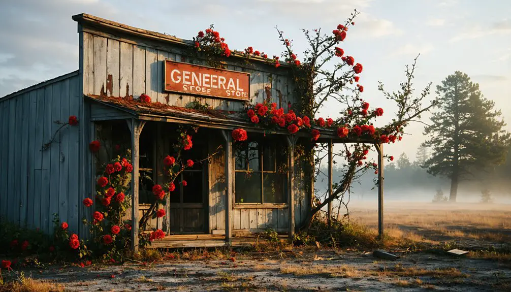
Exploring Other Maryland Ghost Towns in the Region
Beyond Selbysport’s quiet streets, Garrett County harbors a constellation of vanished industrial towns where coal seams and iron deposits once pulled thousands of workers into these Appalachian hollows.
Coal veins and iron ore transformed Appalachian hollows into boomtowns, drawing thousands before inevitable collapse left only ruins behind.
You’ll find Kempton near the West Virginia border, where miners struck the water table and watched their town drown—500 residents scattered practically overnight. Bloomington’s abandoned mining structures stand as monuments to the coal-and-iron boom that couldn’t outlast resource depletion.
Prime ghost town destinations within day-trip range:
- Altamont – Industrial remains from late 19th-century collapse
- Davis – Depression-era cluster showcasing economic devastation
- Blooming Rose – 1791 settlement now reclaimed by wilderness
These sites offer unrestricted exploration through historic mill ruins and crumbling foundations. You’re witnessing freedom’s darker side: towns that thrived without government planning, then died the same way.
Best Time to Visit and What to Bring

Timing your Selbysport expedition determines whether you’re trudging through waist-deep snowdrifts or walking sun-dappled trails where foundation stones peek through mountain laurel. Target late spring or early fall for ideal seasonal recreation opportunities—May through June offers 60-75°F hiking weather, while September’s uncrowded trails showcase Appalachian foliage without summer’s humidity.
Pack layered waterproofs for Garrett County’s sudden downpours and sturdy boots for overgrown cemetery paths. Winter’s 80-100 inches of snow closes rural backroads entirely, restricting your access.
Bring GPS devices for unmarked routes, binoculars to spot train trestle remnants across the Youghiogheny, and extra camera batteries for documenting crumbling church walls. These outdoor activity recommendations guarantee you’re exploring ghost town ruins rather than retreating from flash floods or impassable ice.
Frequently Asked Questions
Can You Swim or Boat Directly Over the Submerged Town Site?
You can boat and swim over Selbysport’s submerged ruins freely. Underwater visibility varies with seasonal aquatic vegetation growth, obscuring foundations below. You’ll find no restrictions preventing exploration of this ghost town beneath Deep Creek Lake’s surface.
Are There Underwater Ruins Visible From the Surface of Yough Lake?
You can’t see underwater ruins through Yough Lake’s murky depths—water quality concerns and sediment create zero visibility. However, during droughts when levels drop dramatically, you’ll witness the exposed stone arches and town foundations emerge from below.
Were Residents Compensated When Selbysport Was Flooded in 1944?
Historical records regarding relocation and compensation policies for displaced Selbysport residents remain elusive. You’ll find no documented evidence that families received payment when floodwaters claimed their homes, leaving their fate frustratingly uncertain in Maryland’s archives.
Is Scuba Diving Allowed to Explore the Underwater Town Remains?
You can scuba dive Yough Lake’s waters recreationally, though you’ll need fishing licenses required for the reservoir and must follow boating safety precautions. However, disturbing archaeological features remains prohibited—explore freely but respectfully preserve what’s beneath.
How Deep Is the Water Covering the Original Selbysport Settlement?
Historical records of original town layout don’t specify exact depths covering Selbysport’s remains. You’ll find geological surveys of submerged terrain indicate valley depths of 1,000-1,800 feet below peaks, though lake levels fluctuate considerably with seasonal changes.
References
- https://preservationmaryland.org/haunted-maryland-the-monsters-lurking-in-frederick-county/
- https://en.wikipedia.org/wiki/List_of_ghost_towns_in_Maryland
- https://friendsville.org/historytour/?page_id=483
- https://kids.kiddle.co/List_of_ghost_towns_in_Maryland
- https://www.youtube.com/watch?v=nJzauuAFgr0
- https://msa.maryland.gov/megafile/msa/speccol/sc4300/sc4300/000005/000000/000007/unrestricted/garrett county mill chapter.pdf
- https://www.visitdeepcreek.com/northern-garrett-county/
- http://www.heritage.umd.edu/chrsweb/associatedprojects/chidesterreport/Chapter VIII.htm
- https://en.wikipedia.org/wiki/Selbysport
- https://www.youtube.com/watch?v=XgE8IPwHdI0