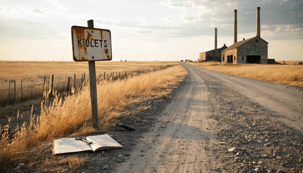
You’ll find Stockdale’s ghost 9.5 miles from Manhattan, but you won’t see much—the town’s been underwater since 1959 when Tuttle Creek Dam sealed its fate. Drive to the Stockdale Recreation Area (39.3057° N, -96.6578° W) where Main Street now rests beneath 12,350 acres of reservoir water. Spring and fall offer ideal conditions for exploring this drowned settlement alongside other submerged communities like Cleburne and Randolph. The coordinates reveal where ambition met flood control, trading $80 million in infrastructure for erased history that’s worth understanding fully.
Key Takeaways
- Stockdale’s former site is 9.5 miles from Manhattan; turn right onto Riley County Road 895, then onto Stockdale Park Road.
- Park at Stockdale Recreation Area at coordinates 39.3057° N, -96.6578° W to explore the submerged town’s location.
- Spring and fall offer ideal photography conditions and moderate temperatures for exploring the ghost town site.
- Tuttle Creek Reservoir now covers 12,350 acres where Stockdale’s Main Street once stood after the 1959 dam closure.
- Combine your visit with other submerged towns like Cleburne, Randolph, and Garrison Cross throughout Riley County.
The Rise and Fall of Stockdale: A Railroad Town Lost to Progress
The quiet junction where Mill Creek spills into the Big Blue River hardly hints at the bustling community that once thrived here. You’re standing where Stockdale’s agricultural prosperity began in 1858, when farmers recognized fertile bottomland perfect for livestock and grain.
The town layout evolution started simple—a sawmill harnessing Mill Creek’s power, then J.D. Sweet’s store and blacksmith shop in 1878. By 1910, you’d have found a hundred residents, a bank, telegraph office, and daily stagecoach connections.
The Union Pacific Railroad cemented Stockdale’s importance as a shipping hub. But that same Big Blue River that nurtured growth eventually doomed the town. Federal dam proposals during the Depression sparked an exodus, and by 1943, Stockdale became a ghost. Meanwhile, Riley village ten miles northwest of Manhattan in Grant township continued to serve as a small railroad community with its own bank and postoffice. Today, the former town site lies beneath Tuttle Creek Lake, preserved underwater at what is now Stockdale Park.
What Caused Stockdale’s Disappearance Beneath Tuttle Creek Lake
Chronic flooding sealed Stockdale’s fate long before the first bulldozer arrived. Between 1903 and 1959, twenty-five devastating floods ravaged the Kansas River area, with Stockdale’s riverside location making it particularly vulnerable. The catastrophic “Black Friday” flood of July 13, 1951, changed everything—killing 28 people, displacing over half a million residents, and causing $935 million in destruction. Federal engineers had already authorized Tuttle Creek Dam in 1938, but that disaster accelerated construction.
The post office closure timeline tells Stockdale’s story: it shuttered in 1922, forty years before the reservoir filled in 1962. The town was already dying when Congress finalized plans to drown it permanently. Construction crews broke ground in 1952, and the dam closure occurred on Independence Day 1959, permanently sealing the valley’s fate. You’re visiting what water claimed—a community sacrificed so downstream cities could survive the Big Blue River’s fury. Stockdale was one of four towns entirely submerged when Tuttle Creek Lake reached capacity, joining Cleburne, Randolph, and Garrison Cross beneath the surface.
How to Reach the Former Site of Stockdale From Manhattan

From Manhattan’s downtown core, you’ll head northwest on US-24/Tuttle Creek Boulevard for about 5 miles past the dam’s western junction with K-13. Turn right onto Riley County Road 895, continue for 2 miles, then right again onto Stockdale Park Road. Follow this winding route 2.5 miles to where the town once stood—now Stockdale Recreation Area at 39.3057° N, -96.6578° W.
The entire journey spans roughly 9.5 miles from that US-24 junction. For alternate route options, you can navigate directly to 4800 Stockdale Park Road or use coordinates 39°18’22″N, 96°39’8″W. If you’re seeking directions from other cities, aim for Manhattan first—it’s your essential gateway. Real-time traffic apps like Waze help optimize your approach to this lake-drowned ghost town. The estimated driving time from Manhattan’s downtown is approximately 20 minutes under normal conditions. Upon arrival, you’ll find parking available near the recreation area for easy access to explore the former townsite.
Exploring Tuttle Creek Dam and Reservoir Where Stockdale Once Stood
Standing at Tuttle Creek Dam today, you’ll find it hard to imagine that beneath 12,350 acres of water lies Stockdale’s Main Street, where families once gathered at the general store before construction crews arrived in 1952.
The massive structure that destroyed this town now draws fishermen and boaters to the same valley where residents fought their losing battle against what they called “Big Dam Foolishness.” Originally planned as a dry dam, the project was transformed in 1957 when Congress removed restrictions to allow for water conservation and recreational development.
You can walk across the dam’s observation areas and peer into the reservoir, knowing that somewhere far below, the remnants of four complete towns rest in perpetual darkness—a $80 million trade-off between flood control and erased history. The dam proved its worth just months after closure on July 4, 1959, preventing over $15 million in damages during a record snow melt event in 1960, even before construction was fully complete.
Dam Construction Timeline History
Before the waters rose to swallow Stockdale and three other Kansas communities, the wheels of bureaucracy turned for over two decades to bring Tuttle Creek Dam into existence.
Authorized in 1938, the project faced dam design challenges from the start—engineers drilled their first exploratory core hole in 1944, probing the earth where spillways would eventually channel floodwaters. Construction kicked off October 7, 1952, but early opposition to project halted everything by December 1953.
Blue River Valley citizens launched their spirited “Let’s quit this dam foolishness” campaign, effectively stalling federal appropriations until December 1955.
You’d witness history on July 4, 1959, when dynamite diverted the Big Blue River through intake towers. By 1962, $80 million had transformed the landscape forever—proof that government persistence outlasts individual freedom.
Reservoir Recreation Opportunities Today
Where Stockdale’s Main Street once bustled with farmers and merchants, you’ll now find 10,900 acres of shimmering water that’s become Kansas’s playground for over 2 million visitors annually. This multipurpose lake uses what remains of the ghost town as a foundation for endless adventure.
You can power through waves while water skiing, catch your limit of crappie and walleye, or sail across a 14-mile fetch—one of Kansas’s finest stretches. Diverse recreational activities include 100 miles of wooded shoreline trails, an 18-hole disc golf course, and the adrenaline-pumping Spillway Cycle Area‘s expert terrain. The lake sits in the northern Flint Hills, where flat-topped hills and limestone outcrops define the landscape.
Below the dam at River Pond, you’ll paddle where Stockdale’s foundations lie submerged. The archery range and shooting facilities offer target practice with views across water that buried history beneath progress. Anglers seeking prime spots can access detailed fishing information through the state park’s resources to maximize their catch in these productive waters.
Other Vanished Towns to Visit in Riley County
Riley County’s vanished settlements tell stories of ambition cut short by railroad routes, post office rivalries, and the harsh realities of prairie life. Beyond Stockdale, you’ll find remnants of communities that once thrived with determination.
Other Ghost Towns Worth Exploring:
- Bala – Completely abandoned with no structures remaining, representing total erasure from the landscape
- Leonardville – The decline of Leonardville followed its fierce competition for postal service supremacy
- Riley – Five miles from Leonardville, the Riley town post office rivalry shaped both settlements’ fates
- Scattered homestead sites – Crumbling foundations dot county roads, marking forgotten family dreams
- Historical markers – County documentation helps locate these invisible communities
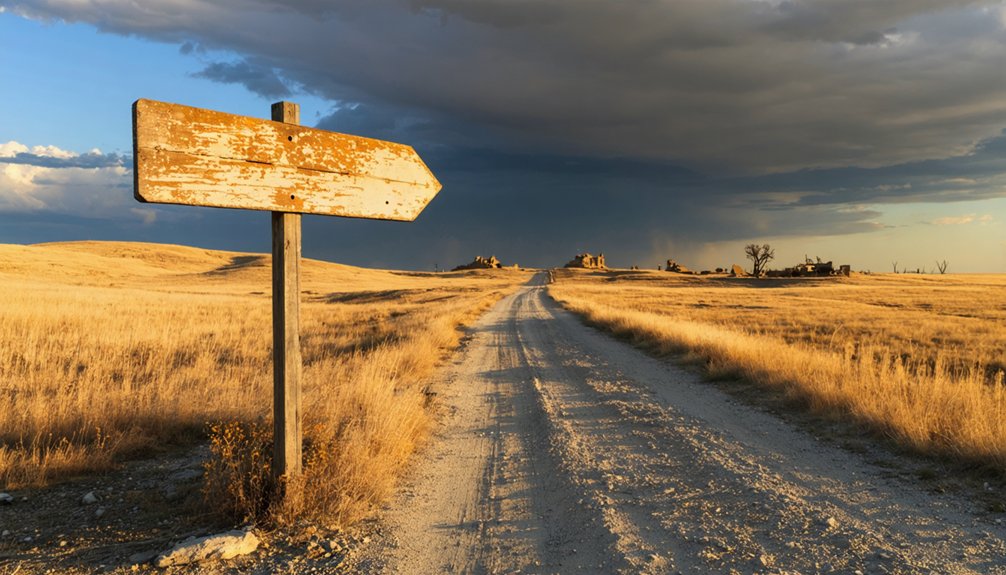
Pack your county map and GPS coordinates. These ghost towns demand self-reliance—no tourist infrastructure exists, just open prairie and your own curiosity driving you forward.
Best Time to Plan Your Northern Kansas Ghost Town Adventure
When planning your ghost town expedition through northern Kansas, seasonal timing transforms your experience from merely interesting to genuinely memorable.
Understanding the historical significance of Sveadal, Kansas adds a layer of depth to your journey, revealing stories of its past and the people who once called it home. As you wander through the remnants of this once-thriving community, you can almost hear the echoes of its history. Exploring the area not only brings the landscape to life but also connects you with the rich tapestry of America’s frontier spirit.
Spring and fall deliver the sweet spot for exploration. March through May offers 50-70°F temperatures and blooming foliage that creates ideal photography conditions around Stockdale Park’s remnants. You’ll dodge summer’s oppressive heat and encounter minimal seasonal crowd levels at the submerged sites.
October stands out as peak adventure season. The 50-75°F weather makes hiking comfortable, while vibrant reds and oranges frame your shots of Riley County’s vanished communities. The Big Blue River areas become particularly stunning for scenic drives.
Winter? Only if you’re chasing solitude and budget deals. Summer’s long daylight hours tempt, but 95°F temperatures demand constant hydration planning that limits spontaneous exploration.
Frequently Asked Questions
Are There Any Remaining Artifacts or Structures From Stockdale Visible Today?
No, you won’t find abandoned farm equipment or overgrown foundation stones—Stockdale’s completely submerged beneath Tuttle Creek Lake. Every structure was removed before flooding, leaving only water where freedom-seeking settlers once built their dreams along Mill Creek’s banks.
Can You Access the Exact Town Site When Reservoir Water Levels Drop?
You can’t legally access the submerged town site even when seasonal water levels drop. Reservoir access restrictions prohibit trespassing on the lakebed, and Stockdale’s ruins remain buried beneath Tuttle Creek’s waters, frustratingly out of reach.
Were Residents Compensated When the Government Purchased Their Land in 1956?
Yes, you’ll find residents were compensated through the land acquisition process, though records don’t specify exact amounts. The government purchased properties via fee simple sales, but resident relocation experiences reflected deep loss beyond monetary value.
What Happened to Stockdale’s Cemetery When the Town Was Relocated?
While displaced residents scattered to new horizons, their ancestors’ resting place stood firm. You’ll find the cemetery untouched on high ground at 4532 McDowell Creek Road—no abandoned gravesites here, just 37 veterans and pioneers watching over submerged Stockdale below.
Did Any Stockdale Families Move to Nearby Towns Like Riley or Randolph?
Records don’t reveal specific Stockdale families’ destinations, but you’ll find typical patterns—some moved to Randolph along the Big Blue River as farming opportunities declined and the reservoir’s shadow grew longer across Riley County’s landscape.
References
- https://www.hhhistory.com/2019/05/ghost-towns-of-kansas.html
- https://legendsofkansas.com/riley-county-extinct-towns/
- https://www.rileycountyks.gov/441/History-of-Riley-County
- https://cityofriley.com/wp-content/uploads/2024/05/City-Of-Riley-100th-Anniversary-1870-1970.pdf
- https://en.wikipedia.org/wiki/List_of_ghost_towns_in_Kansas
- https://lostkansas.ccrsdigitalprojects.com/sites/lostkansas/files/private_static/2023-09/AltaMills_Peters.pdf
- http://www.ksgenweb.org/archives/1912/s/stockdale.html
- https://legendsofkansas.com/stockdale-kansas/
- https://sites.rootsweb.com/~ksriley/history/blueribbongranttwp.html
- https://www.rileycountyks.gov/DocumentCenter/View/12107/Historical-Sites-Map-pdf?bidId=


