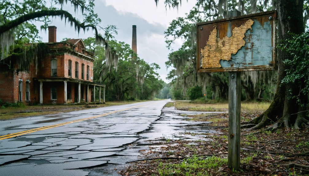
You’ll find Valhermoso Springs 6.7 miles east-northeast of Somerville along Alabama State Route 36, where crumbling foundations mark a once-grand mineral resort that drew international visitors. Plan your visit for late September through November when temperatures hover in the 60s-70s, and bring sturdy boots to explore the seven legendary springs arranged in a natural circle. The Trail of Scriptures at First Christian Church offers a contemplative stop, while nearby ghost towns create a fascinating 400-mile loop through forgotten American dreams awaiting your discovery.
Key Takeaways
- Located 6.7 miles east-northeast of Somerville via Alabama State Route 36, coordinates 34.50120°N, 86.68582°W or ZIP 35775.
- Visit late September through early November for optimal weather with low humidity and temperatures in the 60s-70s.
- Explore remnant foundations, seven historic mineral springs, ruins from the 1890s, and the Trail of Scriptures at First Christian Church.
- Bring sturdy hiking boots, camera, water, snacks, first-aid kit, and charged phone for the remote location.
- No visitor facilities or amenities available; site features historical markers, geocache locations, and natural swimming pool remnants.
The Rise and Fall of Alabama’s Premier Health Resort
In 1813, Lancelot Chunn stumbled upon mineral springs bubbling from Alabama’s limestone bedrock, unknowingly launching what would become the state’s most celebrated health resort. You’ll find that what began as James Manning’s modest hotel in 1818 transformed into a nationally advertised destination under Jean J. Giers’ ownership.
The resort’s therapeutic waters drew health-seekers throughout the 1870s, competing fiercely with similar establishments across the region.
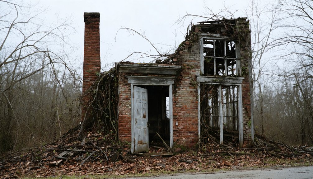
Present day local perspectives reveal little remains of this once-thriving enterprise. The hotel closed in 1923, then met its violent end during a 1950 tornado. While undocumented historical accounts suggest vibrant resort life, you can explore what survives: religious structures and community spaces where visitors once sought healing. James F. Sulzby’s 1960 book preserves these fading memories.
Getting to Valhermoso Springs: Directions and Coordinates
You’ll find Valhermoso Springs tucked along Alabama State Route 36, roughly 6.7 miles east-northeast of Somerville in Morgan County’s rolling countryside. Navigate to coordinates 34.50120°N 86.68582°W or simply punch ZIP code 35775 into your GPS to reach this unincorporated community where mineral springs once drew thousands seeking healing waters.
The historical marker sits on the right side of SR 36 just east of Thomas Road, marking your arrival at what remains of Alabama’s forgotten health resort.
Driving Route via Highway 36
Highway 36 East cuts through the rolling Alabama countryside like a ribbon of asphalt threading together forgotten places and hidden histories. You’ll find Valhermoso Springs scattered along this corridor, with key landmarks clustered between Somerville and Laceys Spring.
The post office sits at 7071 Highway 36 E, while the Trail of Scriptures—ranked the area’s top attraction—awaits at 7281 Highway 36. MapQuest and Apple Maps provide optimized routes with driving time estimates and current traffic conditions, helping you navigate efficiently. Road conditions overview tools guarantee you’re prepared for the journey.
Multiple historical markers dot the route at addresses like 7561 Highway 36 E, transforming your drive into an exploration of Alabama’s quieter past, accessible from dawn to dusk.
Finding Valhermoso Springs on modern mapping apps requires pinpoint accuracy that only GPS coordinates can provide. Lock in 34.50120°N, 86.68582°W as your central target point—these coordinates deliver GPS coordinates accuracy that’ll guide you straight to this Morgan County ghost town.
You’ll find the historic spring at 34.5092956°N, -86.6803478°W, while the cemetery sits at 34.50580°N, -86.67470°W with 977 documented memorials awaiting exploration.
Your navigation tool options include MapQuest, Satellites.pro, and TopoZone, all supporting these coordinates at 568 feet elevation. Input ZIP code 35775 if your system requires it. Route yourself via Alabama State Route 36 for direct access. Standard GPS units handle these coordinates flawlessly, giving you the freedom to explore without getting lost in backcountry terrain.
Distance From Nearby Towns
Nestled in Morgan County’s backcountry, Valhermoso Springs sits a mere 6.7 miles east-northeast of Somerville—the closest reference point you’ll use when explaining your whereabouts to locals. You’ll find Decatur’s regional amenities 20 miles northwest, while Huntsville’s airport and tech corridor lie 35 miles northeast—a 45-minute drive when civilization calls.
Hartselle offers closer conveniences just 15 miles west along SR-36, and Athens sits 25 miles north if you’re exploring Limestone County’s border territory.
Despite its historical significance as a former resort destination, tourism development remains minimal here. That’s precisely the appeal for freedom-seekers craving authentic exploration without commercialized interference. You’re genuinely off the beaten path, yet close enough to modern hubs for practical necessities. This positioning makes Valhermoso Springs ideal for adventurers wanting remote discovery with convenient escape routes.
What Remains: Exploring the Historic Sites Today
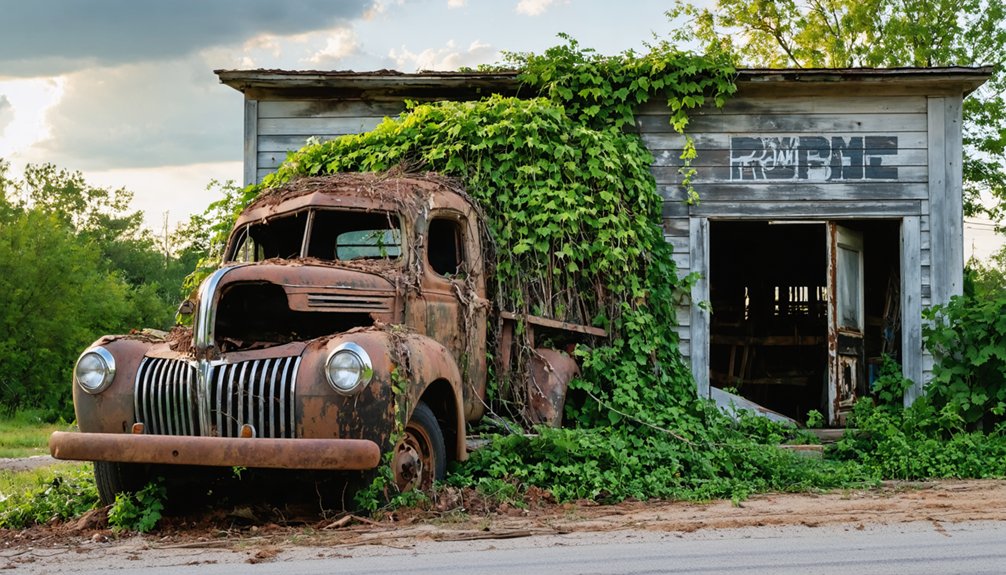
Time has reclaimed most of Valhermoso Springs’ glory, leaving behind a landscape where pastures now roll across what once hosted a world-renowned health resort. You’ll find few standing structures—instead, remnant building foundations hint at the resort’s former grandeur beneath overgrown vegetation. The revert landscape conditions create an explorer’s canvas, where you’re free to wander and imagine the bustling health seekers who once walked these grounds.
Nearby Rock Run adds substance to your adventure, with its 1890s commissary and superintendent home ruins still visible. Geocache locations scattered throughout the area provide modern treasure-hunting opportunities. Ghost town enthusiasts report paranormal activity here, adding supernatural intrigue to your visit. You’re stepping into authentic abandonment—no tourist traps, just raw historical remnants waiting for discovery.
The Legendary Mineral Springs That Drew Visitors Worldwide
You’ll find seven distinct mineral springs arranged in a natural circle, each offering different waters that once promised relief from rheumatism, insomnia, consumption, and ailments of the skin, kidneys, stomach, and liver. These healing claims transformed Valhermoso into an international destination where you could’ve rubbed shoulders with President Zachary Taylor, Vice President William R. King, or perhaps even outlaw Jesse James throughout the 1800s and into the early 20th century.
The springs lie 400 yards down a creek gorge from the ridge, approximately 30 yards north of the highway bridge, where rocks still form the natural swimming pool that once drew visitors from around the world.
Healing Waters’ Medical Claims
For over a century, desperate travelers hauled themselves to this remote Alabama hollow, convinced the springs bubbling from limestone bedrock could cure everything from rheumatism to kidney disease. While disputes over health benefits raged between believers and skeptics, the validity of water composition claims eventually came through laboratory testing at the University of Georgia.
The water’s documented properties include:
- Alkaline pH of 7.1-7.2 maintaining your body’s acid-base balance
- 161 mg/L bicarbonate supporting cellular functions and blood chemistry
- Six natural electrolytes including calcium for bone strength and magnesium powering 300+ chemical reactions
- 12.66 mg/L silica protecting joints, cartilage, and collagen formation
Whether these minerals actually healed ailments remains debatable, but the 172 mg/L total dissolved solids prove something special flows through that dolomite.
International Resort Destination Era
The mineral-rich waters that drew health seekers didn’t just attract desperate invalids—they built an empire. When Jean Joseph Giers acquired the property in 1856, he transformed a regional health retreat into Valhermoso Springs, a resort that commanded international attention well into the twentieth century.
These celebrity connections weren’t accidents—they reflected genuine belief in the waters’ restorative powers. Travelers crossed oceans to experience what locals called the “Vale of Beauty,” where seven distinct mineral springs promised renewal and escape.
You’d have rubbed shoulders with extraordinary company here. President Zachary Taylor sought the springs’ healing properties. Vice President William Rufus King recuperated within these walls. Even outlaw Jesse James allegedly found refuge among the legitimate guests, adding dangerous mystique to the resort’s lucrative reputation.
Trail of Scriptures and Modern Attractions Worth Visiting
Nestled on the grounds of First Christian Church, the Trail of Scriptures invites you to walk a serene gravel path where wooden crosses rise between the trees and Biblical verses offer quiet moments of reflection. This contemplative worship experience transforms an ordinary hike into a modern day pilgrimage, open dawn to dusk at no charge.
Essential features for your visit:
- Shaded picnic pavilion – Rest and recharge after walking the trail
- Pull-over parking on Highway 36 – Easy roadside access at 7281 Hwy 36
- Gravel walking surface – Gentle terrain suitable for meditation and movement
- Historical marker nearby – Discover Valhermoso Springs’ resort legacy from 1856
The trail’s peaceful setting honors the area’s heritage while providing spiritual respite for travelers seeking both natural beauty and introspection.
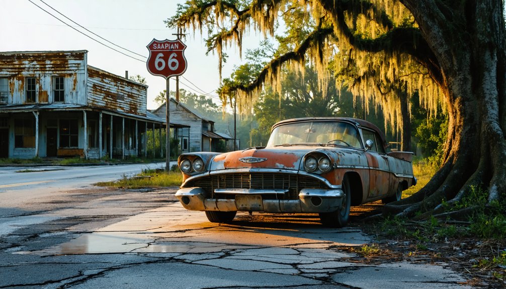
Nearby Ghost Towns and Historical Landmarks to Add to Your Route
Beyond Valhermoso Springs’ spiritual trails, South Alabama’s forgotten settlements wait to reveal their stories along winding back roads and overgrown pathways. You’ll find Blakeley’s abandoned buildings rising from Baldwin County wilderness, where nature’s reclaimed a fort that now resembles an earthen hill. The “hiding tree” and “hanging tree” stand as silent witnesses to darker times.
Claiborne once housed 5,000 souls before disease reduced it to memory—only a historical marker remains along Old Fort Claiborne Road. At Old St. Stephens, 200-year-old ruins rest undisturbed beneath archaeological watch, while Prairie Bluff’s cemetery tells tales through weathered 1860s gravestones. Chandler Springs represents Alabama’s lost resort era, its historical significance preserved in complete abandonment. These ruins form a 400-mile loop through forgotten American dreams.
Best Time to Visit and What to Bring on Your Trip
Since Valhermoso Springs sits in North Alabama‘s Morgan County—not South Alabama as previously mentioned—you’ll want to plan your visit between late September and early November when humidity drops and temperatures hover in the 60s-70s.
Spring (March-May) offers equally pleasant seasonal weather conditions, though afternoon thunderstorms can roll through unexpectedly.
Pack these essentials for exploring this abandoned resort:
- Sturdy hiking boots for traversing overgrown trails and crumbling structures
- Camera and extra batteries to document deteriorating Victorian-era remnants
- Water and snacks since visitor facilities and amenities don’t exist at this remote location
- First-aid kit and charged phone for emergencies in this isolated area
Frequently Asked Questions
Are There Any Restaurants or Places to Eat in Valhermoso Springs?
You’ll discover local produce stands dotting roadsides, quaint cafes serving hearty meals, and beloved spots like El Herradura’s Mexican fare, LawLers Barbecue, and Peppered Pig. The Burger Bus food truck’ll satisfy your wandering appetite perfectly.
Is It Safe to Drink Water From the Mineral Springs Today?
You shouldn’t drink directly from Valhermoso Springs’ mineral waters without proper mineral content analysis and considering Alabama’s water quality concerns. The historic springs lack modern testing, so bring bottled water for your ghost town adventure instead.
Can I Camp Overnight Near the Historic Sites?
Yes, you’ll find nearby campground options perfect for exploring Valhermoso Springs’ ruins. Easter Posey Recreation Area sits closest to historic sites, offering budget-friendly spots. Check seasonal camping availability, as some facilities adjust schedules throughout the year.
Are Guided Tours Available for the Ghost Town and Historical Markers?
Step back in time—guided tours available at Old Cahawba during October’s Haunted History events feature wagon rides and paranormal investigations. Walking tours recommended along the Trail of Scriptures, plus self-guided smartphone audio experiences throughout Alabama’s historic locations.
What Photography Restrictions Exist at the Historic Church Properties?
You’ll find no explicit camera policies or photography permits required at these historic church properties. You’re free to photograph memorials and gravesites, though Find a Grave limits uploads to five photos per cemetery per user.