You’ll find Villa City’s ghost town at coordinates 28.6184°N, 81.8505°W, where Historical Marker F-354 stands on Lake Emma Road, four miles north of Groveland off State Road 19. The 1895 freeze that plunged temperatures to 7 degrees erased nearly everything, leaving only this bronze memorial and scattered artifacts between SR 19 and Villa City Road. Visit between November and March when temperatures hover between 48-74°F, and you’ll discover why this citrus paradise vanished so completely—plus eight additional historical markers within seven miles that reveal Florida’s frozen-out frontier.
Key Takeaways
- Villa City is located north of Groveland on SR 19 near Lake Emma Road at coordinates 28.6184°N, 81.8505°W.
- Historical Marker F-354 on Lake Emma Road commemorates the town’s 1885-1895 history before the Great Freeze devastation.
- Visit between November and March when temperatures range from 48-74°F, avoiding summer’s heat and thunderstorms.
- Explore eight additional historical markers within a 7-mile radius, including the Korean War Memorial and Timucua artifacts.
- Combine your trip with nearby Florida ghost towns like Ellaville, Eldora, St. Joseph, Cedar Key, and Fort Dade.
The Rise and Fall of a Citrus Paradise
Long before Villa City became a forgotten name on faded maps, Florida’s citrus industry took root in the sandy soil of Spanish explorers’ ambitions.
You’ll find Villa City’s story mirrors the broader transformation that reshaped Florida’s landscape. Small family groves once stretched along waterways where independent farmers controlled their destinies. The growers’ cooperative formation in 1874 promised strength through unity, but couldn’t stop what came next.
Post-1945, frozen concentrate changed everything. Processing plants consolidated power while mechanized citrus harvesting replaced hand-picking traditions. Groves expanded from family plots into corporate operations spanning thousands of acres. The citrus belt crept southward, leaving communities like Villa City behind—casualties of progress that valued efficiency over independence. Today, you’re chasing ghosts of a vanished agricultural frontier.
What the Great Freeze of 1894-1895 Left Behind
Stand in Villa City’s overgrown clearing on a winter morning, and you’ll witness what a single night of killing frost can accomplish. When temperatures plunged to 7 degrees across Polk County in February 1895, ice crystals formed inside tree trunks, splitting them like dynamite and transforming a thriving citrus empire into abandoned fields within hours.
You’ll find rusted plows still positioned mid-furrow and foundations of half-built homes—silent monuments to farmers who fled before they could finish their morning coffee.
Devastation in One Night
When temperatures plummeted to 15 degrees in DeLand on December 29, 1894, Florida’s citrus growers watched their fortunes blacken and shrivel along with the orange leaves. You’d have heard train whistles shrieking warnings as 25-30 mph winds carried killing frosts across the peninsula.
From Tallahassee’s 11 degrees to Tampa’s 19, orchards decades in the making died in hours.
The financial devastation intensified when February’s second freeze dropped to 28 degrees, splitting tree trunks with ice. Half of North Florida’s homes emptied as farmers abandoned plows mid-furrow and left houses half-built.
The human suffering was absolute—21,737 acres produced nothing. Entire communities vanished as growers fled west, their independence destroyed. This single event reshaped Florida’s economy for decades.
From Boom to Ghost
The December 29th freeze seemed survivable at first—Villa City’s citrus hung blackened on branches, but the trees themselves stood firm. Farmers clung to hope, planning resilient agricultural efforts for next season.
Then February 7th struck with arctic fury. At 12 degrees, frozen sap exploded through bark, splitting decades-old trees outright. Ice formed half-inch thick on South Florida ponds. Within months, Villa City’s population plummeted from 150 to nearly zero.
You’ll find nothing left today. Boston transplants fled north, abandoning 21,737 acres of worthless groves. Without capital to replant seven-year saplings, small farmers couldn’t overcome economic recovery challenges. Properties fell to tax seizure. Survivors scavenged abandoned homes for building materials.
The last structure—the Gano house—disappeared in 1968, completing Villa City’s transformation into Florida’s frozen-out ghost town.
Getting to Villa City’s Historic Location Near Lake Emma
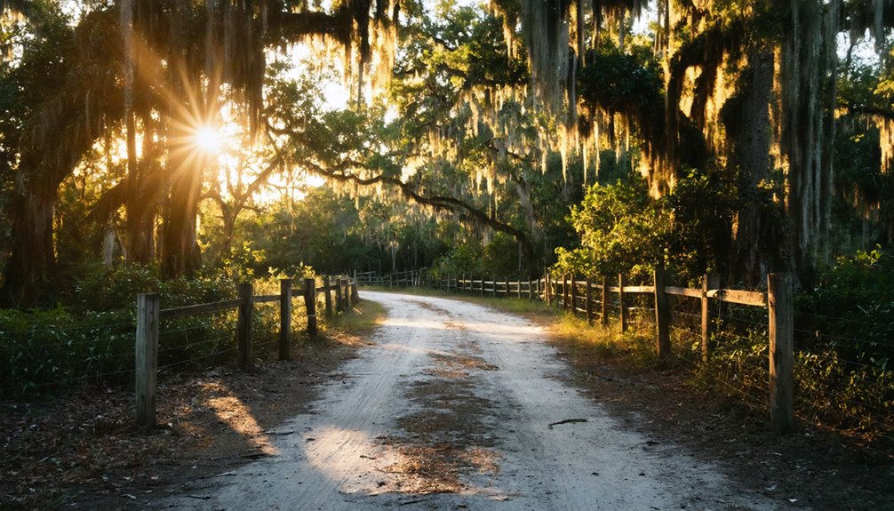
Finding Villa City requires traversing the rolling hills and spring-fed lakes of rural Lake County, where this ghost town rests quietly between Lake Emma and Lake Lucy. You’ll head north from Groveland on State Road 19—three miles up, watching for Lake Emma Road on your left.
From Highway 50, it’s a straightforward shot: north on SR 19, then left onto Lake Emma Road. Coming from Highway 27? Turn south on SR 19, then right.
The coordinates 28.6184°N, 81.8505°W mark your destination, where a historical marker (F-354) stands near George Thomas King’s 1885 estate site. While preserved structures have largely vanished, local archives and the 1995 commemorative marker tell Villa City’s story. The site nestles between SR 19 and Villa City Road, adjacent to Lake Emma on the Clermont Chain.
What Remains: Landmarks and Memorial Sites to Visit
You’ll find Florida Historical Marker F-354 standing sentinel on Lake Emma Road, four miles north of Groveland, marking where George Thomas King’s grand estate once anchored this vanished citrus community.
The marker’s weathered bronze face tells Villa City’s brief story—from 1885 prosperity through the devastating 1895 freeze—while Lake Emma’s quiet waters stretch behind it, reflecting the same shoreline that turpentine workers and citrus barons once gazed upon.
Bring a ghost town map to trace the scattered foundations and overgrown streets radiating from this central point, where 35 homes and their hopeful residents disappeared into Florida’s scrubland.
Historical Marker F-354
Standing sentinel along Lake Emma Road’s eastern stretch near Groveland, Historical Marker F-354 marks the exact coordinates where Villa City’s Mediterranean dreams froze solid on February 7, 1895.
The monument significance runs deeper than commemorating disaster—it preserves residents’ memories of an ambitious community that vanished overnight. Erected in 1995 by the Villa City Homeowners Association, this bronze commemoration stands where descendants like Howard King gathered to honor their ancestors’ pioneering spirit.
Your Visit Checklist:
- Navigate to coordinates 28° 37.11′ N, 81° 51.023′ W on Lake Emma Road’s left side heading east
- Explore within a 7-mile radius to discover eight additional historical markers, including the Korean War Memorial
- Document Timucua artifacts scattered throughout the ghost town’s remains
Touch the weathered bronze and connect with Florida’s forgotten frontier.
Lake Emma Scenic Views
Seventy feet below where George T. King’s porch once stood, you’ll discover the ellipse-shaped Lake Emma stretching seven-eighths mile long. The tranquil landscape cascades 800 feet downward from King’s former estate, just as it did when he named these waters for his wife Emma in the 1880s.
You’re viewing the same scenic vista captured in those vintage photographs—though water levels now fall under Lake County Water Authority control through the Villa City Dam. The narrow green strip separating Lake Emma from larger Lake Lucy creates two sharp triangular points, while islands play tricks with your depth perception.
Stand at coordinates 28.61833333 N, -81.85005556 on Lake Emma Road, three miles north of Groveland, and you’re experiencing what captivated settlers over a century ago.
Ghost Town Map Routes
While most ghost towns vanish without a trace, Villa City left you a roadmap of memorial sites scattered between two lakes. Navigate Lake Emma Road where you’ll discover fragments of a community that refused complete erasure.
Your exploration checklist includes:
- State historical marker – Four miles north of Groveland, marking George Thomas King’s original 1885 estate site
- Small homestead remains – Foundation stones and chimney fragments hiding among mixed pine-hardwood forests between Lake Emma and Lake Lucy
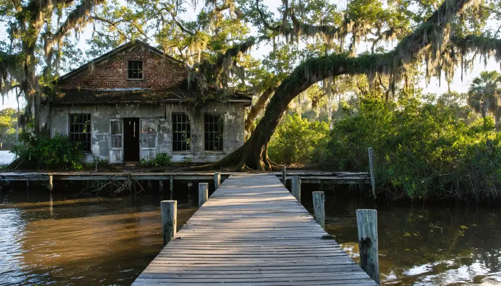
- Collapsed turpentine stills – Shore ruins where survivors pivoted from citrus to pine extraction after the Big Freeze
Access via State Road 19 from Mascotte or Groveland (coordinates: 28°37′06″N 81°51′02″W). You’re free to wander these unguarded sites, though the Gano House—Villa City’s last standing structure—was demolished in 1968.
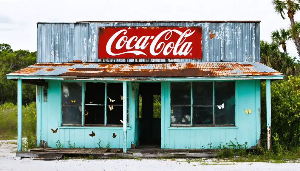
Other Florida Ghost Towns to Add to Your Route
Beyond Villa City, Florida’s backroads conceal dozens of forgotten settlements where nature has reclaimed what civilization left behind.
You’ll find Ellaville’s weathered structures along the Suwannee River, where natural resources extraction once fueled prosperity. Eldora hides within Canaveral National Seashore, its agricultural decline sealed by the devastating 1895 Great Freeze that obliterated orange groves overnight. St. Joseph’s crumbling foundations mark where Florida’s brief capital stood before abandonment claimed this western Panhandle port.
Cedar Key offers a less desolate experience—though its 500-strong population dwindled when railways shifted elsewhere, ending its salt production dominance. Fort Dade’s military barracks and lighthouse stand sentinel on their remote island, casting an eerie glow at sunset. Each location reveals how quickly boom transforms to bust when industries collapse and residents flee.
Best Time to Explore and What to Bring
Your ghost town expedition to Villa City demands strategic timing—winter’s mild embrace between November and March transforms exploration from sweltering ordeal into atmospheric adventure. Temperatures hover between 48-74°F, perfect for wandering through citrus grove remnants without Florida’s punishing summer humidity.
Spring’s sunny days in March and April illuminate the ruins beautifully, though you’ll want those comfortable clothing options that breathe.
Packing list essentials for your Villa City adventure:
- Sun protection arsenal – Hat, sunglasses, and high-SPF sunscreen shield you from relentless subtropical rays
- Layered clothing strategy – Breathable daytime wear plus light jacket for evening drops to 48°F
- Exploration gear – Sturdy walking shoes, water bottle, and camera for capturing weathered structures
December through February occasionally brings cold snaps, but you’ll escape the summer’s thunderstorms and oppressive heat.
Frequently Asked Questions
Are There Any Guided Tours Available for Villa City Ghost Town?
Looking for ghostly adventures? Unfortunately, guided tours availability for Villa City ghost town is limited since it’s abandoned. You’ll need to explore independently, unlike St. Augustine’s historical walking tours that offer structured paranormal experiences with professional guides and equipment.
Can Visitors Access Private Property Around the Lake Emma Area?
You can’t access Lake Emma’s private waterfront properties without owner permission. Private property restrictions protect these residential lots, and trespassing considerations matter—respect boundaries and explore public alternatives in surrounding Lake County instead for your adventure.
What Local Accommodations Are Available Near Villa City for Overnight Stays?
You’ll find budget-friendly lodging in nearby Groveland, about 15 minutes away, offering cozy motels and inns. For a wilder experience, explore nearby campgrounds around Lake Louisa State Park, where you can sleep under Florida’s starlit skies.
Are There Any Safety Concerns When Exploring the Villa City Site?
You’ll face minimal risks at Villa City’s roadside marker, though wildlife presence in surrounding areas warrants caution. Vandalism concerns are low since there’s little remaining structure. Stay alert, respect boundaries, and you’ll explore safely and freely.
Where Can I Find Detailed Maps of Villa City’s Original Layout?
You’ll find Villa City’s original 1888 layout map through local historical archives at Groveland Historical Museum or Lake County records. Check land ownership records at the county courthouse—they often preserve original plats and surveys from forgotten settlements.