When exploring Rocky Mountain ghost towns, you’ll need high-clearance 4WD vehicles for remote sites and thorough topographical research. Plan your expedition between June and September for ideal access conditions. Always practice leave-no-trace ethics by photographing rather than collecting artifacts. Navigate using historical maps integrated with modern GIS datasets, and ascend gradually to prevent altitude sickness. The secrets of these abandoned settlements await those who approach with both preparation and respect.
Key Takeaways
- Conduct topographical research using both historical maps from the 1800s and modern GIS datasets to accurately locate remote mining sites.
- Secure high-clearance 4WD transportation for accessing remote locations, as standard vehicles are only suitable for maintained areas.
- Visit during summer months (June-September) for optimal accessibility with snow-free trails, or fall for superior photography with golden aspens.
- Leave all artifacts in place and photograph instead of collecting, respecting federal laws protecting cultural resources on public lands.
- Prepare for high altitude conditions by ascending gradually, staying hydrated, and monitoring for altitude sickness symptoms.
Preparing Your Mining Ghost Town Expedition

Before commencing on a journey to Colorado’s historic mining settlements, you’ll need to conduct thorough topographical research to navigate the challenging Rocky Mountain terrain where these ghost towns are situated.
Analyze USGS maps covering the San Juan Mountains near Ouray, where elevations range from 7,657 to over 12,000 feet.
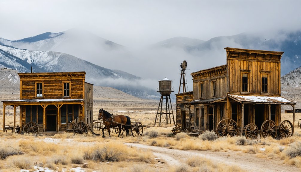
Among planning essentials, secure high-clearance 4WD transportation for accessing remote sites like Governor Basin. Standard vehicles suffice only for Ironton, Animas Forks, and similar maintained locations.
4WD vehicles remain essential for Colorado’s most isolated mining ruins—paved routes reach only the more accessible ghost towns.
Your gear recommendations should include navigation redundancies, altitude sickness medication, and weather-appropriate equipment. Towns above treeline experience rapid weather shifts year-round.
Remember that accessibility drastically diminishes between October and May when snowfall renders many routes impassable, requiring specialized winter equipment or rescheduling.
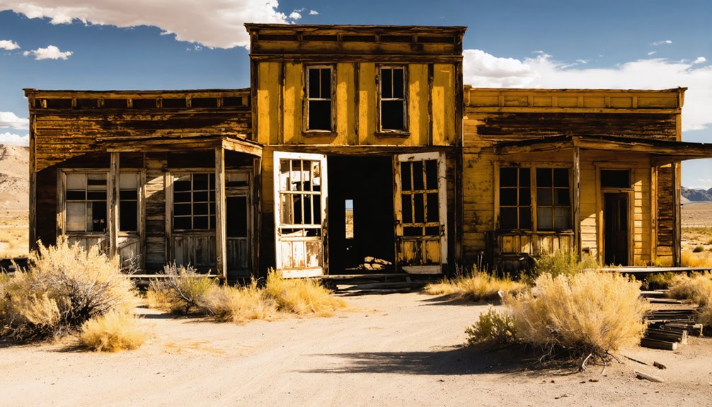
Many of these settlements like Independence and Carson became deserted due to harsh winters and difficult access conditions that still challenge modern visitors today.
Exercise extreme caution when exploring these historic sites as many contain unprotected shafts that pose serious safety hazards, especially for children.
Essential Safety Considerations for High-Altitude Exploration
While exploring Colorado’s abandoned mining settlements presents fascinating historical opportunities, the high-altitude environment demands specialized safety protocols to mitigate significant physiological risks.
Ascend gradually, limiting elevation gain to 500m daily above 3,000m to prevent altitude sickness. Implement strategic rest days every third day to enhance acclimatization.
Your body requires significant hydration strategies at elevation—consume 3-4 liters daily and maintain a high-carbohydrate diet (70% of calories) to support increased metabolic demands. For optimal protection against altitude sickness, aim to drink up to 6 liters daily.
Monitor for AMS symptoms including headache, nausea, and dizziness. Should symptoms worsen, descend immediately to prevent progression to HAPE or HACE.
UV radiation intensifies with elevation; apply high SPF protection and wear UV-protective clothing.
Layer appropriately for rapid temperature fluctuations common in mountainous terrain, particularly when exploring remote mining ruins.
Avoid consuming tobacco and alcohol as these substances can exacerbate altitude effects and impair your body’s adaptation process.

Maneuvering the complex network of historical mining districts throughout the Rocky Mountains requires a sophisticated understanding of both cartographic resources and physical terrain challenges.
Navigating historic mining districts demands mastery of both maps and mountain terrain.
You’ll need to integrate multiple resources—historical maps from the 1800s, CGS metal mining district polygons, and modern GIS datasets—to accurately locate sites within the approximate boundaries that define these districts. These boundaries are subjective in nature and were drawn where deemed appropriate based on various references.
Most lie within Colorado’s Mineral Belt at elevations demanding careful terrain navigation. Access routes typically follow old mining roadways and railroad corridors, many only seasonally accessible due to high-altitude passes and unpredictable weather.
When planning your expedition, cross-reference 1:150,000 scale district maps with detailed claim documentation (typically 300′ x 1500′ plots) and current land status information. The historical tables and maps from the 1861 Rocky Mountain Gold Regions collection offer invaluable insights into original mining operations and routes.
Historic structures remain visible but require precise navigation between public and private boundaries to access legally.
Preserving History: Ethical Guidelines for Ghost Town Visitors
Preserving the historical integrity of ghost town sites demands adherence to a thorough ethical framework that extends beyond mere casual observation.
Your commitment to artifact preservation requires leaving all items in situ—photograph rather than collect, and never disturb structures or foundations.
Responsible tourism means observing all legal frameworks protecting these cultural resources.
Remember that federal laws protect materials on public lands, while many structures remain privately owned.
Stay on designated paths, report vandalism, and respect posted signage.
Support preservation efforts by donating to organizations like History Colorado or participating in sanctioned stabilization events.
When visiting, minimize environmental impact by packing out all waste and using established parking areas.
Avoid open flames near structures and refrain from visiting during weather conditions that might accelerate structural deterioration.
Understanding the five-point criteria used by preservationists helps visitors appreciate the historical significance of these abandoned settlements.
The collaborative efforts between local organizations and the San Juan County Historical Society demonstrate how community involvement is essential for successful ghost town preservation.
Seasonal Opportunities for Discovering Hidden Mining Settlements
The seasonal window for exploring abandoned mining communities in the Rocky Mountains varies dramatically throughout the year, creating distinct opportunities and challenges for historical enthusiasts.
The allure of ghost towns of the American West draws adventurers eager to uncover remnants of a bygone era. Each visit can unveil unique stories etched in weathered buildings and rusting machinery from the Gold Rush days. Understanding the history behind these deserted locales enhances the experience, turning a simple exploration into a journey back in time.
Summer (June-September) provides ideal access conditions with snow-free trails and extended daylight for thorough site documentation. You’ll encounter peak wildlife activity, requiring vigilance during explorations. Trail Ridge Road, which provides access to Lulu City’s trailhead, is only operational from Memorial Day to mid-October.
Fall delivers superior seasonal photography opportunities with golden aspens contrasting against ochre soil and weathered structures, particularly in the Red Mountain District. The low-angle light accentuates architectural details previously obscured.
Winter restricts physical access but presents unique analytical opportunities through aerial assessment of infrastructure patterns. Many adventurers are drawn to these locations by the enduring tales of undiscovered treasure that still captivate the imagination.
Spring reveals previously concealed artifacts as snow recedes, though muddy conditions necessitate careful navigation to prevent site degradation.
Plan your expedition strategically—each season reveals different aspects of these historical industrial landscapes.
Frequently Asked Questions
How Can I Identify Genuine Artifacts Versus Modern Trash?
Examine materials (metals vs. plastics), manufacturing techniques (hand-forged vs. machine-made), and historical context. You’ll authenticate artifacts through stratigraphic positioning, association with structures, and distinctive features like amethyst glass or square-cut nails.
Are There Any Active Mining Claims That Create Unexpected Hazards?
Yes, active claims frequently present unmarked shafts, unstable ground, and heavy metal contamination. You’ll need proper safety precautions including claim maps, GPS coordinates, and understanding boundary markers before exploring these areas.
What Photographic Equipment Works Best in Abandoned Mine Interiors?
You’ll need full-frame DSLRs with wide-angle lenses (17-24mm f/2.8) for spatial context. Lighting techniques require powerful flashlights, LED panels, and tripods for long exposures in these light-deprived environments.
Can I Detect Signs of Remaining Valuable Minerals?
You’ll identify valuable minerals through quartz veins, oxidized iron stains, and structural remnants. Apply geological survey methods along fault lines, using mineral identification techniques to assess remaining deposits without disturbing protected sites.
Which Ghost Towns Have Paranormal Activity or Documented Hauntings?
You’ll find documented haunted locations in Crested Butte, Ashcroft, Gunnison, and Clear Creek County mines, where ghostly encounters manifest in historic structures like View Hotel, Capital Prize Mine, and Phoenix Gold Mine.
References
- https://www.denver7.com/news/local-news/colorado-ghost-towns-their-past-present-and-future-in-the-rocky-mountains
- https://www.islands.com/2037323/lulu-city-colorado-enchanting-ghost-village-secret-boomtown-once-thriving-rocky-mountain-national-park/
- https://www.visitouray.com/ghost-towns
- https://www.colorado.com/articles/colorado-ghost-towns
- https://en.wikipedia.org/wiki/List_of_ghost_towns_in_Colorado
- https://ghosttownmuseum.com/our-story/
- https://www.coloradolifemagazine.com/printpage/post/index/id/172
- https://www.aspire-tours.com/blogs/hidden-mines-of-colorado-forgotten-history-beneath-the-rockies
- https://www.historyrhymes.info/featured/rocky-mountain-mining-towns/
- https://www.mountainliving.com/3-historic-mountain-ghost-towns-in-colorado/