Rio Bravo, California, Kern County is a captivating ghost town that once thrived in the heart of California’s agricultural landscape. Known for its rich history and transformation over time, this abandoned settlement offers a glimpse into the past. Below is detailed information about the town.
County: Kern County
Zip Code: Not available
Latitude / Longitude: Approximately 35.2° N, 119.1° W
Elevation: Approximately 292 feet (89 meters)
Time Zone: Pacific Time Zone (PT)
Established: 19th century (exact date not available)
Disestablished: Not available
Comments: Rio Bravo was originally part of a larger settlement area that supported agriculture, particularly after the development of irrigation projects. Its location in Kern County placed it within a region known for oil and farming industries, contributing to its initial growth.
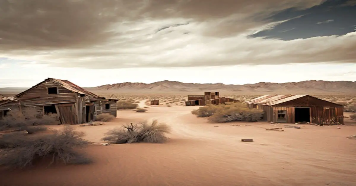
Remains: Rio Bravo’s remnants are scarce, with few structures still standing. However, some foundations and building remnants can be found, offering a testament to the town’s former existence. The area is now mostly overgrown and reclaimed by nature.
Current Status: Rio Bravo is classified as a ghost town, with no permanent residents. The site is occasionally visited by historians and ghost town enthusiasts interested in exploring its past.
Remarks: Although little remains of Rio Bravo today, its story is part of the broader narrative of California’s development during the 19th and early 20th centuries.
The town’s decline mirrors that of many small settlements that once dotted the American West, giving way to larger cities and modern agricultural practices.


