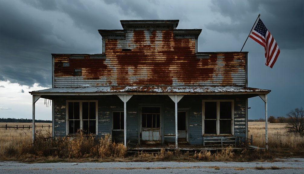
10 Best Post-Apocalyptic Ghost Town Ruins In The United States
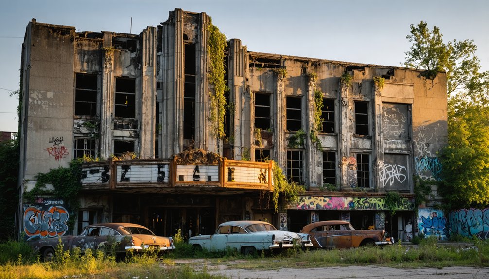
Uncover eerie secrets hidden within America’s most haunted ghost towns, where nature reclaims abandoned streets and untold stories linger.
10 Best Post-Apocalyptic Ghost Town Ruins In The United States Read More »