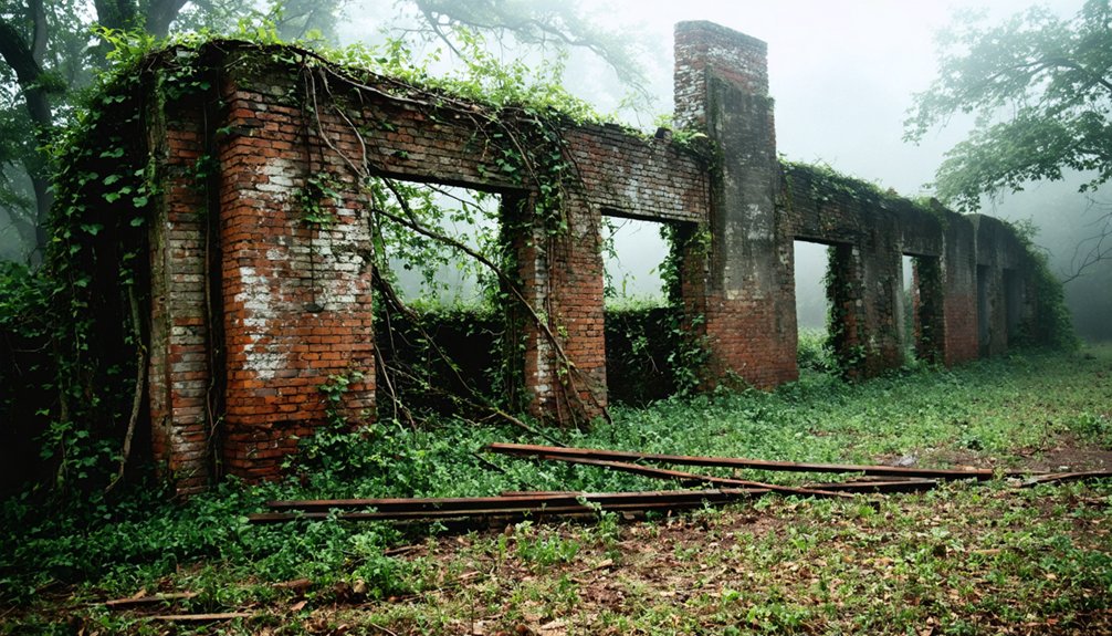
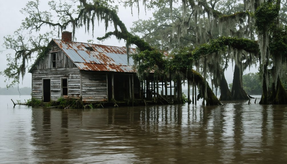
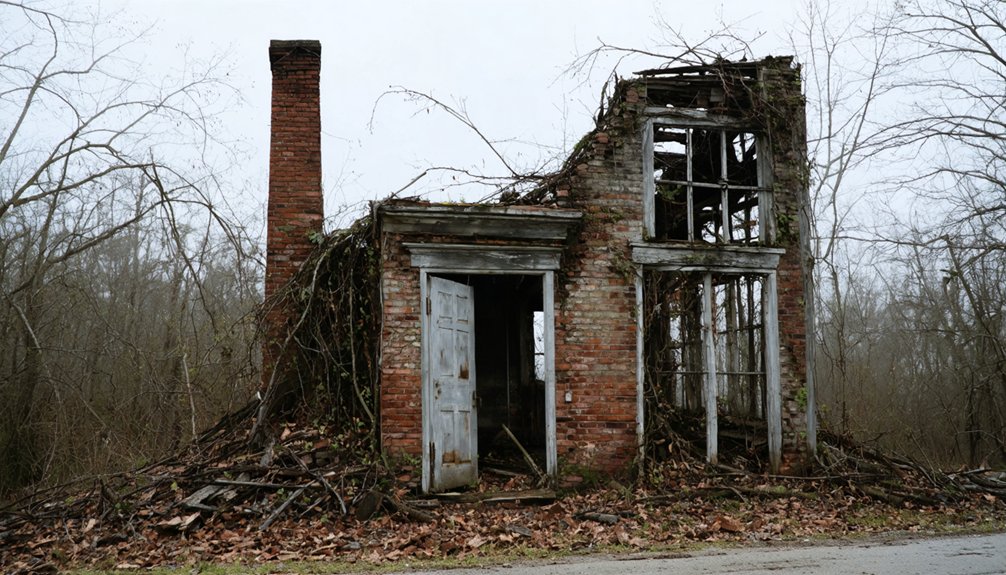
You’ll discover Bainbridge’s fascinating history as an early 19th-century Tennessee River settlement that became an essential transportation hub between Florence and Tuscumbia, Alabama. The town flourished with its strategic ferry crossing, bustling riverfront commerce, and significant Civil War activity. Today, this once-thriving community lies submerged beneath Wilson Lake’s waters, though its rich legacy of early Alabama settlement, military operations, and river trade continues to intrigue historians and explorers.
Key Takeaways
- Bainbridge was established in 1819 along the Tennessee River as a vital transportation hub and ferry crossing point.
- The town flourished as an agricultural shipping point and commercial center until the mid-1900s when economic changes triggered decline.
- Fort Bainbridge served as a strategic military stronghold during the Civil War, used by both Confederate and Union forces.
- The settlement was eventually submerged by Wilson Lake, contributing to its ghost town status in the late 20th century.
- Today, Bainbridge exists as an abandoned settlement with preservation efforts focused on its historical significance and tourism potential.
Early Settlement and Town Origins
While Alabama was still in its earliest days of statehood, the town of Bainbridge emerged in 1819 along the Tennessee River at a strategic location that would later be submerged by Wilson Lake.
Founded in 1819, Bainbridge once stood proudly along the Tennessee River before Wilson Lake’s waters claimed its historic grounds.
You’ll find Bainbridge history deeply rooted in the region now divided between Colbert and Lauderdale counties, where John Donelson IV established his plantation holdings. Similar to Capps, the town developed into an important shipping point for agricultural goods from the surrounding plantations.
The town’s location proved essential for early settlers, predating the growth of nearby Florence and Tuscumbia. Bainbridge’s plantation economy thrived thanks to its position along critical water routes, making it a natural hub for commerce and agricultural exports.
The settlement’s strategic importance wasn’t lost on early planters who recognized the value of river access for shipping their cotton and other goods to market. Due to its historical significance, researchers often need to clarify which Bainbridge place name they’re referencing when discussing this ghost town’s past.
Life Along the Tennessee River
Bainbridge’s position along the Tennessee River made it an essential transportation hub, where steamboats like the Rocket connected local farmers and merchants to markets as far as New Orleans by 1822.
You’d find the riverfront bustling with activity as settlers relied on ferries for river crossings until the 1840 bridge, while trading agricultural surplus and receiving goods from distant cities like St. Louis and Louisville.
The river’s fertile floodplains and abundant fish sustained both Native American tribes and early settlers, though this prosperous river life would change dramatically with forced tribal removals in the 1830s and later Civil War conflicts. The area’s earliest human presence dated back to the ancient Mound Builders who established settlements along the Tennessee River valley more than a millennium ago. The Cherokees and Chickasaws fought fiercely over control of this valuable territory throughout the 18th century, recognizing its strategic importance for trade and resources.
Early River Trade Routes
Three major Native American tribes – the Cherokee, Chickasaw, and Creek – established vital trade networks along the Tennessee River before European contact, setting the foundation for centuries of commerce in the region.
You’ll find their settlements strategically positioned along the riverbanks, where they conducted extensive trade in peltries and other goods.
When Europeans arrived, the river’s trade routes expanded dramatically. Spanish explorer Hernando de Soto first reached the Tennessee in 1540, followed by French traders who used the river as a canal system to access fur markets.
By 1673, English traders like James Needham and Gabriel Arthur began forging relationships with the Cherokee in East Tennessee.
French traders established posts along Cumberland by 1692, further expanding the network of river commerce in the region.
After the French and Indian War, British control intensified river commerce, though treacherous shoals and dangerous currents continued to challenge navigation.
Early settlers faced numerous perils as the infamous suck below Chattanooga claimed many boats and lives in their attempts to navigate the waterway.
River Community Daily Life
Along the Tennessee River, daily life in the nineteenth century revolved around the rhythms of agriculture and commerce, as settlers established thriving communities that adapted to the waterway’s challenges.
You’d find families working collectively to enrich soil with nitrogen-fixing crops like clover, while maneuvering the river’s dangerous shoals and currents that threatened both lives and cargo.
River rituals centered around places like Pope’s Tavern and Coldwater Stagecoach Stop, where you’d witness community gatherings that strengthened social bonds.
Religious services in riverside churches brought people together, while stagecoach stops served as vibrant hubs for travelers and locals alike.
Historic sites like Ivy Green preserve these cultural touchstones, offering glimpses into the determined spirit of early settlers who transformed challenging riverside terrain into prosperous communities. The Spring Park fountains became a central meeting place where residents could enjoy the cool mist during hot Alabama summers.
The destructive practice of plowing straight furrows downhill led to severe erosion that threatened the valley’s agricultural sustainability.
Tennessee River Transportation Hub
In the early nineteenth century, life-sustaining commerce flowed through the Tennessee River’s intricate network of waterways, where you’d find a diverse fleet of canoes, keelboats, and flatboats maneuvering the challenging currents.
River navigation challenges included treacherous shoals, snags, and the notorious Muscle Shoals, which remained impassable for most of the year. At the journey’s end, dismantled for lumber was the fate of many flatboats, with crews making the long walk back home.
You’d witness steamboats battling these obstacles as they carried cotton, timber, and goods between inland ports and the Gulf Coast. Early steamboat operations significantly shaped river trade until railroads began to dominate transportation.
When the waters proved too dangerous, you could rely on the Tuscumbia, Courtland & Decatur Railroad, the first rail line west of the Alleghenies, to bypass the hazardous Muscle Shoals section.
This revolutionary transportation link transformed river commerce, allowing year-round movement of goods despite seasonal water fluctuations.
Transportation Hub and Commercial Growth
You’ll find Bainbridge’s early prominence centered on its essential ferry operations across the Tennessee River, established in 1819 as one of the region’s key river crossings.
The town’s strategic location made it a natural hub for Alabama’s first state highway, which connected travelers and merchants moving between the northern and southern parts of the state.
The combination of the ferry service and highway access transformed Bainbridge into a bustling transit point, where goods and passengers flowed steadily through the growing settlement of the 1840s.
River Ferry Operations
The establishment of Bainbridge Ferry in 1819 transformed the Tennessee River crossing between Colbert and Lauderdale counties into a vital transportation hub.
Located along the historic Byler Road, Alabama’s oldest public thoroughfare, you’d find the ferry operating as a horse or cable-powered flatboat system that connected communities on both sides of the river.
The ferry’s strategic position helped you move goods, livestock, and vehicles across the Tennessee River for a nominal toll.
If you were a merchant or farmer during this period, you’d rely on the Peden family-operated service to transport cotton and other commodities to wider markets.
The ferry service thrived as the primary river crossing method until bridge construction in the early 20th century, fostering regional commerce and settlement expansion throughout its operation.
Early Highway Development
During the early 1800s, interconnected trails and pathways around Bainbridge evolved into a sophisticated network of roads that would transform Alabama’s transportation landscape.
You’ll find that these early roadways often followed ancient Native American trails, which merchants from France and Britain had used for trade. The historic connections formed by routes like Cheatham’s and Stout’s linked Bainbridge to major commercial centers, creating critical arteries for commerce and settlement.
As the region developed, you’d have witnessed the integration of railroads with these established paths, greatly boosting transportation efficiency.
The roads that once served as simple trading paths became essential links in Alabama’s expanding infrastructure, connecting river ferries, railroad stations, and emerging towns.
These transportation networks were fundamental to Bainbridge’s brief period of prosperity.
Strategic Role During the Civil War

Situated along a critical stretch of the Tennessee River, Bainbridge established itself as a pivotal military stronghold throughout the Civil War.
Perched strategically on the Tennessee River, Bainbridge emerged as a crucial military outpost during the brutal Civil War years.
You’ll find its strategic ferry crossing was essential for military logistics, enabling both Confederate and Union forces to transport troops and supplies across the Tennessee River. The town’s position proved essential for tactical maneuvers, as demonstrated when Confederate General Nathan Bedford Forrest utilized Bainbridge in April 1863 to launch surprise attacks against Union forces at Town Creek.
You’ll understand why both sides fought to control this significant transportation hub – it connected key points like Florence and Tuscumbia while serving as a vital link in Confederate supply chains.
The town’s strategic location influenced numerous skirmishes and shaped broader military campaigns throughout Northern Alabama.
Military Movements and Local Impact
Built in March 1814 under General Joseph Graham’s command, Fort Bainbridge served as an essential waypoint for Tennessee Militia troops protecting important supply lines during the Creek War.
The fort’s military logistics centered on three vital activities:
- Daily escort missions safeguarding supply wagons traveling between Fort Mitchell and Fort Hull
- Security operations protecting civilian travelers and merchants along the Federal Road
- Support services including mail delivery and temporary lodging for both military and civilian traffic
You’ll find it interesting that the fort fostered unique local interactions, particularly near Lewis’s Tavern, where Capt. Kendall Lewis and Creek chief Big Warrior operated their establishment.
While no major battles occurred at Fort Bainbridge, its presence stimulated temporary economic activity in this frontier region until its abandonment in July 1814.
The Tennessee Valley Authority Project

While Fort Bainbridge’s role in the region ended in 1814, a far more impactful federal presence would reshape the area over a century later. In 1933, Congress established the Tennessee Valley Authority, launching extensive TVA projects throughout seven southeastern states, including Alabama.
You’ll find that this massive undertaking transformed the region through ambitious dam construction, flood control initiatives, and rural electrification programs.
The TVA’s presence brought unprecedented changes to local communities. You’d have witnessed thousands of new jobs emerge as the authority tackled soil erosion, replanted forests, and built hydroelectric dams.
If you’d lived in the area during this time, you’d have seen dramatic improvements in living standards as electricity reached rural farms and homes, while the integrated dam system protected communities from the devastating floods that had once plagued the region.
Lost Beneath Wilson Lake
Today, the ghost town of Bainbridge rests silently beneath the waters of Wilson Lake, approximately 34.8 degrees north latitude and 87.4 degrees west longitude.
This submerged history lies hidden within the 112-mile reservoir, leaving no visible traces above water except historical markers that hint at its existence.
If you’re interested in underwater exploration of this forgotten town, you’ll find:
- Submerged structural remains that once formed the heart of this 1819 river settlement
- Hidden artifacts from the Civil War era, now preserved in the lake’s depths
- The transformed landscape where ferries once crossed, now serving as prime fishing spots
You won’t see Bainbridge’s physical remains anymore, but the lake that claimed it now offers scenic waterfalls, quiet coves, and recreational opportunities at places like Rockpile Recreation Area.
Preserving Bainbridge’s Legacy

Despite resting beneath Wilson Lake’s waters, Bainbridge’s legacy endures through dedicated preservation efforts by the Historic Preservation Commission and local organizations.
You’ll find historic preservation initiatives focused on protecting remaining artifacts and documenting the town’s rich cultural heritage through various programs and archaeological recovery projects.
Community engagement flourishes through annual events like the Ghost Walk, where you can experience the town’s history through storytelling and reenactments.
Experience Bainbridge’s haunting history firsthand through immersive Ghost Walk events, where local tales come alive through captivating storytelling.
Local organizations collaborate with the Alabama Historical Commission to secure grants, organize tours, and create educational materials that bring Bainbridge’s past to life.
Through mudlarking expeditions, you can discover artifacts from the 1900-1930 era, including antique bottles and remnants from logging operations, offering tangible connections to the town’s industrial heritage and everyday life.
Alabama’s Underwater Heritage
As Alabama’s waters conceal a rich tapestry of historical treasures, the state maintains extensive legal protections through the Alabama Underwater Cultural Resources Act.
You’ll find a network of dedicated professionals, including state archaeologists and conservators, working tirelessly on underwater archaeology projects to preserve these submerged time capsules.
The state’s commitment to cultural preservation is evident through:
- Joint permit oversight by the Alabama Historical Commission and DCNR for maritime archaeological investigations
- Advanced underwater excavation techniques, including acoustic mapping and robotic devices
- Specialized conservation labs that stabilize and preserve recovered artifacts
Notable discoveries like the CSS Alabama and Clotilda showcase Alabama’s maritime heritage, while submerged towns beneath reservoirs remind you of communities displaced by progress.
You’re witnessing history preserved beneath the waves through cutting-edge technology and dedicated preservation efforts.
Frequently Asked Questions
Can Divers Explore the Remains of Bainbridge Beneath Wilson Lake Today?
You can dive Wilson Lake’s Bainbridge site, but you’ll face challenging underwater visibility and uncertain legal restrictions. Before exploring, you’ll need proper diving certifications and TVA permission.
What Artifacts Have Been Recovered From Underwater Excavations of Bainbridge?
You won’t find public records detailing specific artifacts from Bainbridge underwater archaeology. While the area’s been surveyed, artifact analysis reports focus mainly on Clotilda-related discoveries in the Mobile River instead.
Are There Any Surviving Photographs of Bainbridge Before Submersion?
You won’t find any underwater photography or historic preservation photos from submerged Bainbridge, as there’s no evidence the town was ever underwater. The premise appears to be historically inaccurate.
How Deep Underwater Are the Remnants of Bainbridge?
You won’t find precise underwater depth measurements for these historically significant remains, as official records don’t specify how deep Wilson Lake’s waters cover the former settlement’s foundations and structures.
Do Any Former Bainbridge Residents or Their Descendants Still Live Nearby?
While you’d expect a quaint club of Bainbridge descendants swapping tales over sweet tea, there’s no documented evidence of original residents or their offspring still living nearby in Colbert or Lauderdale counties.
References
- https://en.wikipedia.org/wiki/Bainbridge
- https://en.wikipedia.org/wiki/List_of_ghost_towns_in_Alabama
- https://freepages.history.rootsweb.com/~gtusa/usa/al.htm
- https://intrepidheritageservices.com/2021/11/07/haunting-the-bainbridge-ghost-walk/
- https://www.blueridgeoutdoors.com/go-outside/ghost-towns-of-old-cahawba/
- https://wheninyourstate.com/alabama/the-deadliest-shipwreck-in-us-history-started-at-this-alabama-ghost-town/
- https://www.youtube.com/watch?v=Hcbb0-o2-f4
- https://digitalalabama.com/alabama-ghost-towns/alabama-ghost-towns/9449
- https://encyclopediaofalabama.org/media/fort-bainbridge/
- https://tennesseeriver.org/history


