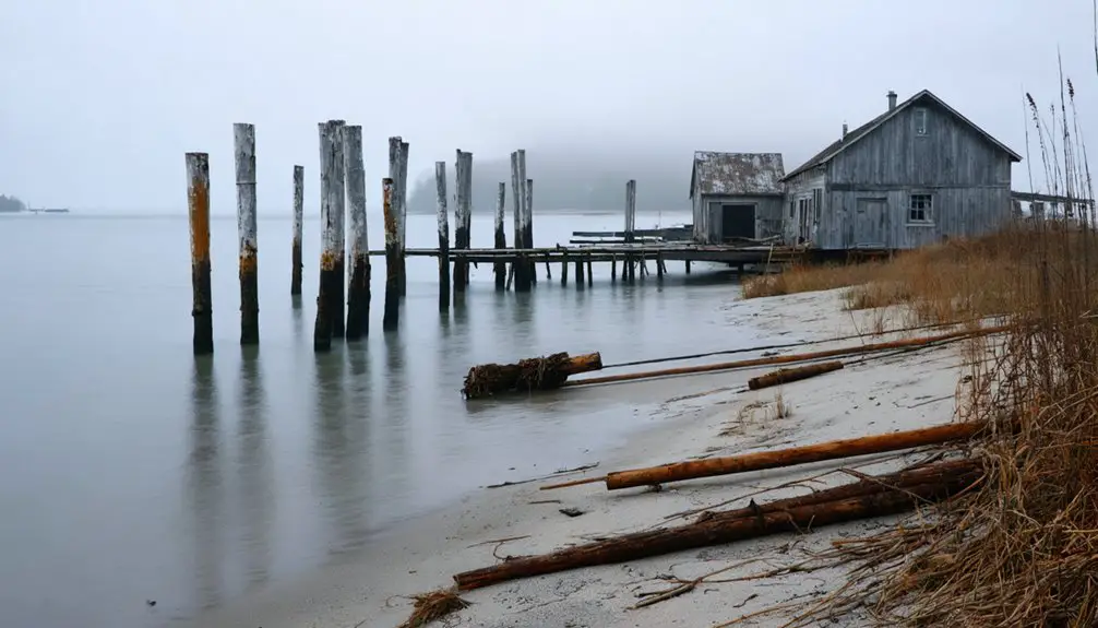
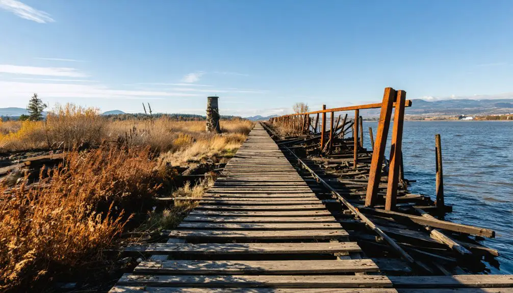
You’ll find Baker’s Bay’s ghost town along Washington’s Columbia River estuary, where the Chinookan peoples first established thriving trade networks. Spanish explorers charted it in 1790, followed by British and American vessels seeking safe harbor. The bay later boomed with canneries and timber operations before declining due to coastal erosion and treacherous waters. Today, you can explore preserved landmarks including the Cannery Lodge and Civil War-era fortifications that reveal its maritime legacy.
Key Takeaways
- Baker’s Bay ghost town contains preserved historical landmarks reflecting the area’s maritime heritage and former industrial prominence.
- Former canneries and processing plants highlight the ghost town’s industrial past centered on fishing and timber operations.
- The abandoned APA Museum and Cannery Lodge remain as key structures from Baker’s Bay’s thriving commercial fishing period.
- World War II-era military installations and Civil War fortifications stand as reminders of the area’s strategic defensive importance.
- The ghost town’s decline was influenced by coastal erosion and dangerous Columbia River Bar conditions that impacted maritime activities.
The Indigenous Legacy of Baker’s Bay
Before European settlers arrived at Baker’s Bay, the Chinookan peoples thrived along the north side of the Columbia River estuary, developing sophisticated social and economic systems adapted to the region’s abundant resources.
You’ll find evidence of their traditional practices in the extensive trade networks they established, creating a trade lingua franca that facilitated commerce up and down the Pacific Coast. Early trading encounters led to exchanging two salmon per nail, demonstrating their initial valuation of European goods.
Their cultural resilience manifested through cedar longhouses, seasonal fishing camps, and strategic use of the bay’s rich salmon runs and clam beds. The tribe’s diet consisted of plentiful fish and clams harvested from local waters.
Under leaders like Chief Comcomly, they maintained villages such as Middle Village, expertly harvesting salmon, berries, and waterfowl from the surrounding marshlands.
Chinookan communities flourished through skillful resource management, with leaders like Chief Comcomly guiding their peoples’ harvest from land and sea.
Even after signing the Tansy Point Treaties, they preserved their fishing rights and cultural connections to Baker’s Bay, leaving an enduring legacy in the region’s place names and traditions.
Early European Maritime Settlement
While Spanish explorers first charted Baker’s Bay in 1790, naming it Bahía de Nuñez Gaona, the area’s European maritime history truly began when Alférz Manuel Quimper led an expedition to survey the Columbia River’s mouth.
You’ll find that Francisco de Eliza used the bay as a temporary base in 1791, followed by George Vancouver’s expedition in 1792. Vancouver’s lieutenant, William Broughton, renamed it Baker Bay after spotting Captain James Baker’s merchant vessel anchored there.
During this period of European exploration, the bay served as a strategic harbor for maritime trade, though no permanent settlements took root. The bay’s protected location behind Cape Disappointment made it an ideal shelter for ships navigating the treacherous Columbia River mouth. Like the early Baker family who established Baker’s Acres Campground, these maritime pioneers faced numerous challenges in developing the area.
The Lewis and Clark expedition later called it Haley’s Bay in 1805, and while early Spanish artifacts occasionally surface today, no original structures remain from these maritime ventures.
The Rise and Fall of Local Industry
Once Baker’s Bay established its maritime presence, the area rapidly developed into a thriving industrial hub centered on fishing and timber.
You’d have seen substantial industrial expansion through the construction of canneries, processing plants, and a narrow-gauge railroad connecting the bay to growing communities.
The fishing industry peaked during late summer and fall salmon runs, while timber extraction provided materials for both local use and export.
The dangerous waters of the Columbia River Bar claimed thousands of vessels in the area, severely impacting maritime commerce.
Like nearby Washaway Beach, the area has experienced significant coastal erosion that contributed to its eventual decline.
Natural Resources and Trading Hub History
The rich natural resources of Baker’s Bay shaped its emergence as a prominent trading hub in the late 18th century. You’ll find the area’s natural abundance included vast populations of fur-bearing animals, particularly beavers, while the Columbia River teemed with salmon runs that sustained both indigenous peoples and European traders. King Charles II granted the exclusive charter that enabled the Hudson’s Bay Company to dominate trade in the region.
The trade dynamics centered around the Hudson’s Bay Company’s virtual monopoly, with Baker’s Bay serving as a vital maritime gateway. The company’s trade operations grew substantially after merging with North West in 1821.
Named in 1792 after Captain James Baker, the bay’s strategic location provided safe harbor for vessels engaged in global commerce. From this vantage point, you could witness the flow of furs, timber, and agricultural products to Britain, while manufactured goods like metal tools and textiles made their way to the Columbia Basin through Fort Vancouver’s extensive network.
Preserved Landmarks and Historical Sites
Today’s Baker’s Bay ghost town preserves numerous historical landmarks that chronicle its rich maritime and military heritage.
You’ll discover preserved structures from various eras, including the transformed APA bunkhouse, now serving as the Cannery Lodge event venue, and the APA Museum housed in the historic cannery building. Like the historic schoolhouse in Govan, these buildings stand as testament to the region’s past.
Experience Baker’s Bay’s history through these notable sites:
- The historic Plover ferry, offering maritime tours near former industrial facilities
- World War II-era concrete gun battery at McKenzie Head
- Civil War-period fortifications at Cape Disappointment
- Station Camp site, where Lewis and Clark established their presence in 1805
Throughout the area, interpretive centers and guided tours help you connect with the region’s fishing industry legacy, military past, and early exploration history.
Frequently Asked Questions
Are There Any Underwater Archaeological Remains From Shipwrecks in Baker’s Bay?
You won’t find documented underwater discoveries in this area, though maritime history confirms the USS Peacock’s bowsprit remains. No detailed archaeological surveys show specific shipwreck remains in the bay.
What Paranormal Activities Have Been Reported Around the Bay’s Historical Sites?
Like whispers from the past, you’ll encounter ghost sightings of Civil War soldiers at Fort Columbia, Indigenous spirits near Chinook sites, and phantom ships in the bay’s haunted history.
How Accessible Is Baker’s Bay During Extreme Winter Weather Conditions?
You’ll find limited winter accessibility during extreme conditions, with rural roads subject to ice and flooding. While multiple entry points exist, you’re best accessing through maintained routes near Fort Columbia.
Which Rare Wildlife Species Can Still Be Found in Baker’s Bay?
Like Noah’s precious cargo, you’ll find endangered species including short-tailed albatross, juvenile salmon, and rare shellfish in these protected waters, where wildlife conservation efforts preserve Baker’s Bay’s rich biodiversity.
Does Baker’s Bay Freeze Over During Particularly Cold Pacific Northwest Winters?
You won’t find ice formation in Baker’s Bay during winter temperatures due to its saltwater composition, tidal movements, and the Columbia River’s flow keeping waters above freezing point.
References
- https://www.trailchick.com/exploring-cape-disappointment/
- https://www.bakerbayretreat.com/area-history
- https://www.lewisandclark.travel/listing/baker-bay/
- https://www.nps.gov/places/baker-bay.htm
- https://www.whatcomtalk.com/2020/06/05/the-ghost-towns-of-whatcom-forgotten-but-not-gone/
- https://chinookstory.org/the-indians-are-very-numerous/
- https://www.historylink.org/File/8675
- https://lewis-clark.org/native-nations/chinookan-peoples/chinooks/
- https://historylink.org/File/10055
- https://www.nps.gov/parkhistory/online_books/explorers/sitee32.htm


