You’ll find America’s most haunting underwater towns at St. Thomas, Nevada, where drought reveals pioneer foundations beneath Lake Mead; Celilo Falls, Oregon, where an 11,000-year-old Native American fishing paradise vanished in hours; and Massachusetts’ Quabbin Reservoir, where four communities were sacrificed for Boston’s water supply. When water levels drop, these submerged settlements emerge as eerie time capsules, their silent streets and abandoned foundations telling stories that water can’t quite wash away.
Key Takeaways
- St. Thomas, Nevada reveals ghostly foundations and streets during droughts, allowing visitors to walk through a once-thriving pioneer community.
- Celilo Falls, Oregon represents a cultural tragedy where 11,000 years of Indigenous history was submerged in just four hours.
- Quabbin Reservoir in Massachusetts contains four completely demolished towns with eerie roads that end abruptly at the water’s edge.
- All three locations feature visible remnants during low water levels, including building foundations, chimneys, and historical artifacts.
- These flooded towns offer unique archaeological insights into American history while creating haunting landscapes for exploration and photography.
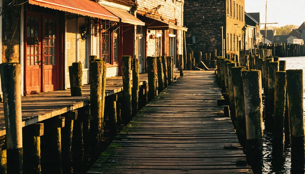
St. Thomas, Nevada: The Desert Town Beneath Lake Mead
Beneath the turquoise waters of Lake Mead lies the ghostly remnants of St. Thomas, a Mormon pioneer settlement founded in 1865 at the meeting point of the Muddy and Virgin Rivers.
Beneath Lake Mead’s azure surface rests St. Thomas—a submerged pioneer town waiting to tell its watery tale.
This once-thriving desert community of 500 residents served as the region’s hub before Las Vegas rose to prominence, boasting churches, schools, and even an ice cream parlor.
You’ll find its flooded history particularly haunting—the town slowly drowned after Hoover Dam’s completion in 1935, with the last resident reportedly burning his home before paddling away.
During severe droughts since 2012, Lake Mead’s receding waters have revealed building foundations, chimneys, and streets, offering unprecedented archaeological significance.
Researchers have recovered hundreds of artifacts spanning both pioneer life and ancient Native American settlements that existed here a millennium earlier. The town has reemerged from its watery grave three times in its history, in 1945, 1963, and 2012. In 2002, the town became visible again after being submerged up to 70 feet underwater at its deepest points.
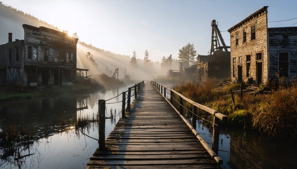
Celilo Falls: Columbia River’s Vanished Native American Heritage
Unlike St. Thomas, Celilo Falls wasn’t just a settlement but a living center of Native Heritage stretching back 11,000 years.
When you visit Lake Celilo today, you’re floating above what Indigenous peoples called Wy-am—once thundering falls where salmon leaped and generations of tribal fishers gathered.
In 1957, The Dalles Dam silenced these ancient waters in just four hours, drowning millennia of continuous habitation.
Beneath your boat lies not just submerged rocks but sacred fishing platforms where Yakama, Nez Perce, Umatilla, and Warm Springs tribes once practiced traditions and conducted trade.
The Cultural Loss extends beyond physical submersion—it represents the deliberate flooding of living traditions, with inadequate compensation failing to address the spiritual and cultural wealth that vanished under engineered waters. Chiefs and elders enforced strict safety measures to protect fishermen from the dangerous currents that claimed many lives. The falls created a dramatic drop of eighty feet in just half a mile of river, requiring all boats to portage around this natural barrier.
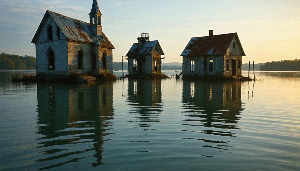
The Quabbin Towns: Massachusetts’ Submerged Communities
While Massachusetts residents now sail across the tranquil Quabbin Reservoir, they’re actually traversing above the remains of four once-thriving communities. Enfield, Prescott, Greenwich, and Dana vanished at midnight on April 28, 1938—sacrificed to quench Boston’s thirst.
Venture to the reservoir’s edges and you’ll discover eerie remnants of submerged history: roads that abruptly end at water’s edge, stone foundations emerging during droughts, and Dana’s town common still visible on elevated ground.
Over 2,500 residents were forced to abandon their homes as structures burned for months during demolition. The massive reservoir construction spanned decades, finally filling in June 1946 with over 400 billion gallons of water. Today, visitors can explore 181 miles of shoreline where these communities once thrived.
For a haunting glimpse into these lost worlds, hike the surrounding trails where you can touch tangible ghosts of the past—cellar holes and foundation walls silently preserving memories of communities erased in the name of progress.
Frequently Asked Questions
Can Divers Legally Explore These Flooded Towns Today?
You can explore 90% of flooded towns legally, but you’ll need exploration permits in most states. Diver regulations vary—respecting artifacts while avoiding removal guarantees you’ll stay within the law’s boundaries.
Were Residents Fairly Compensated for Their Lost Properties?
You’ll find compensation varied widely. Some received fair property values, while others felt shortchanged when filing insurance claims. The government’s definition of “fair” rarely captured homes’ emotional worth.
Do Ghost Sightings Occur Around These Submerged Communities?
You’ll hear ghost stories swirling around these submerged towns—locals claim apparitions walk shorelines at dusk. Haunted legends thrive where communities drowned, especially at Summersville Lake and Lake Jocassee’s watery graves.
How Did Dam Construction Affect Local Wildlife Populations?
You’ll find dam ecology devastated local wildlife, severing migration paths and destroying aquatic habitats. Fish populations crashed, riverbank ecosystems collapsed, and once-vibrant wetlands disappeared beneath rising reservoir waters.
What Items Are Typically Recovered When Water Levels Recede?
Like ghosts emerging from their watery graves, you’ll witness recovery efforts unearthing personal treasures—soaked toys, handwritten letters, quilts—alongside historical artifacts from crumbling buildings that tell tales of communities long silenced by the rising tide.
As you journey through these desolate landscapes, you’ll encounter ghost towns in the United States that stand as reminders of a past life. Each rusting sign and dilapidated structure speaks volumes of the dreams and struggles that once flourished there. The echoes of laughter and labor linger in the air, urging visitors to reflect on the transient nature of prosperity and community.
References
- https://www.neh.gov/article/atlas-drowned-towns
- https://clui.org/newsletter/spring-2005/immersed-remains-towns-submerged-america
- https://www.boisestate.edu/news/2020/05/18/with-a-new-grant-professor-aims-to-catalog-drowned-towns-of-the-american-west/
- https://www.youtube.com/watch?v=T6gy0y6XFAo
- https://en.wikipedia.org/wiki/Flood
- https://www.ucdavis.edu/climate/news/small-towns-big-flood-waters
- https://en.wikipedia.org/wiki/List_of_floods
- https://texashighways.com/culture/history/the-lost-underwater-towns-of-texas/
- https://www.thewanderingappalachian.com/post/the-underwater-towns-of-appalachia
- https://www.deseret.com/2022/5/17/23076336/lake-mead-drought-water-levels-lds-mormon-ghost-town-st-thomas/