Bluevale, South Dakota Ghost Town
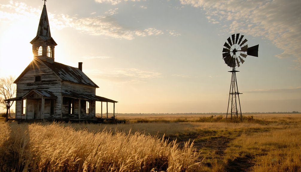
Hidden in South Dakota’s Black Hills, Bluevale rose and fell with the gold rush, leaving only mysterious depressions in empty fields.
Bluevale, South Dakota Ghost Town Read More »
Hidden in South Dakota’s Black Hills, Bluevale rose and fell with the gold rush, leaving only mysterious depressions in empty fields.
Bluevale, South Dakota Ghost Town Read More »
Hidden along South Dakota’s Mni-sota river, Bloomington’s violent demise in 1877 left only scattered stones to tell its haunting frontier tale.
Bloomington, South Dakota Ghost Town Read More »
Built during South Dakota’s 1870s gold rush, Blacktail’s haunting ruins whisper tales of fortune-seeking miners who risked everything.
Blacktail, South Dakota Ghost Town Read More »
Lost in South Dakota’s Black Hills, Black Fox’s haunting gold rush ruins whisper tales of fortune seekers and forgotten dreams.
Black Fox, South Dakota Ghost Town Read More »
When gold prospectors struck it rich in 1870s South Dakota, they built Bismuth—a boomtown now hidden beneath Lakota Lake’s depths.
Bismuth, South Dakota Ghost Town Read More »
Discover the untold secrets of Big Bottom’s abandoned mines, where thousands once sought golden fortunes in South Dakota’s Black Hills.
Big Bottom, South Dakota Ghost Town Read More »
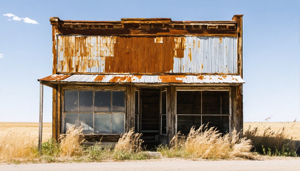
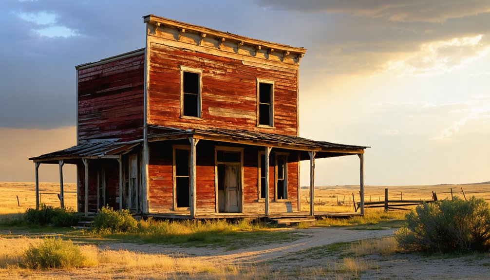
Life once bustled through this South Dakota railroad town, until dwindling mining fortunes left only weathered ruins behind.
Besant, South Dakota Ghost Town Read More »
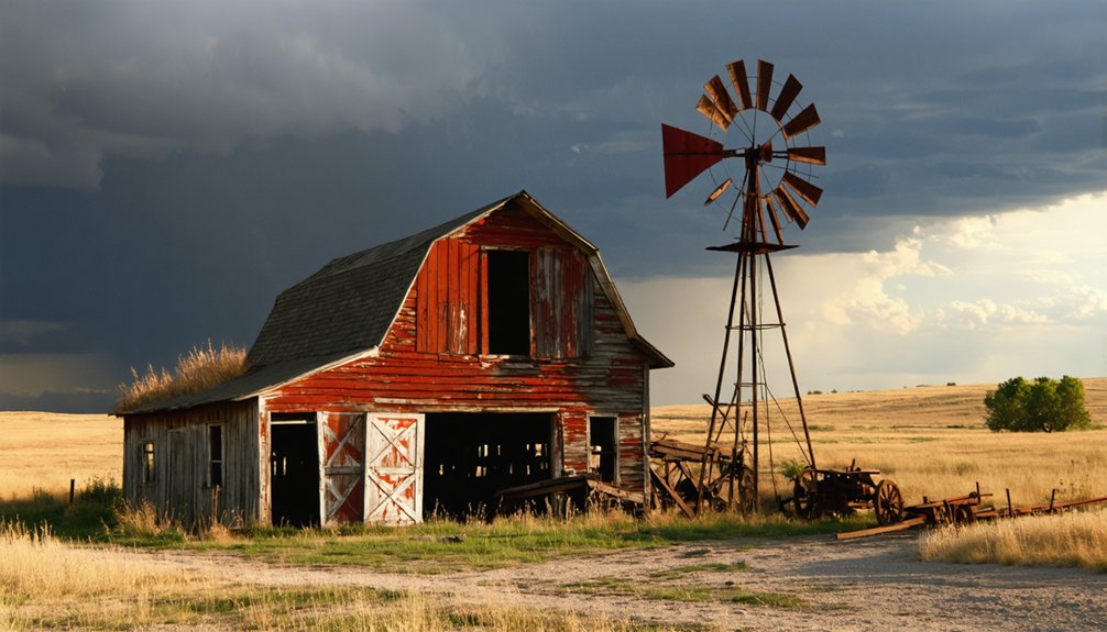
Bernardsville’s abandoned ruins whisper tales of Black Hills mining glory before economic forces sealed its ghostly fate in 1980.
Bernardsville, South Dakota Ghost Town Read More »
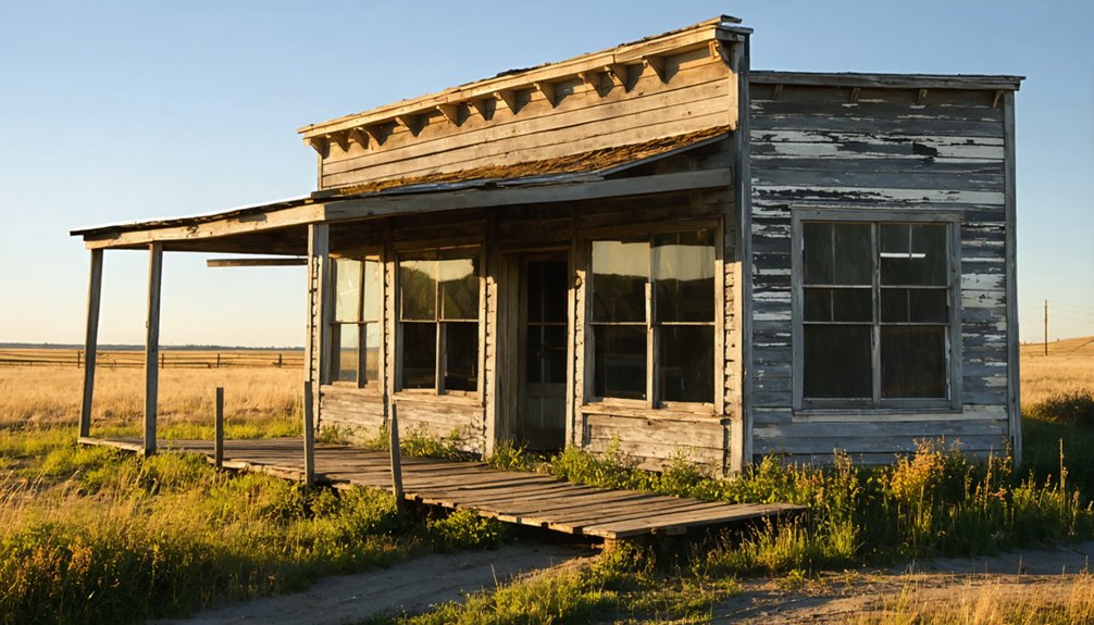
Crumbling quartzite walls whisper stories of Beaver City’s railroad glory days, but what caused this Dakota boomtown’s mysterious demise?
Beaver City, South Dakota Ghost Town Read More »
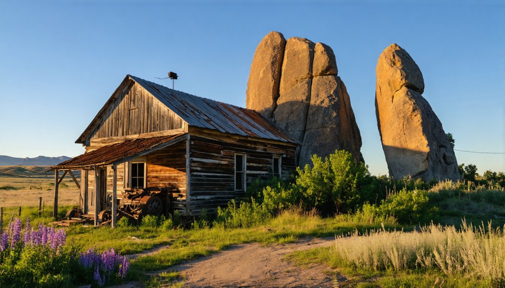
Nestled beneath Devil’s Tower, Bear Rock’s abandoned mines and mysterious cave post office tell tales of Black Hills gold fever.
Bear Rock, South Dakota Ghost Town Read More »