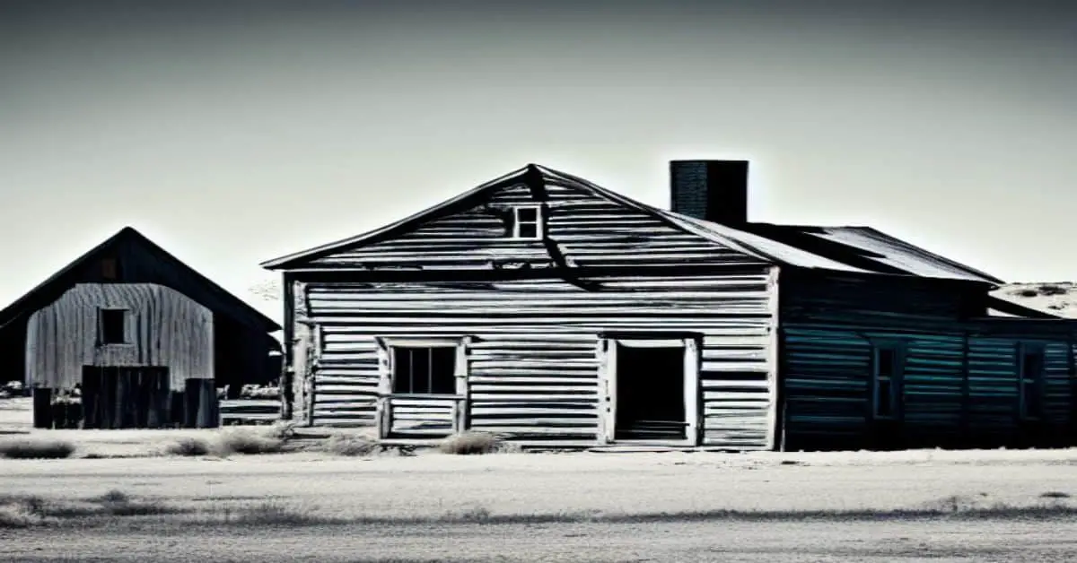
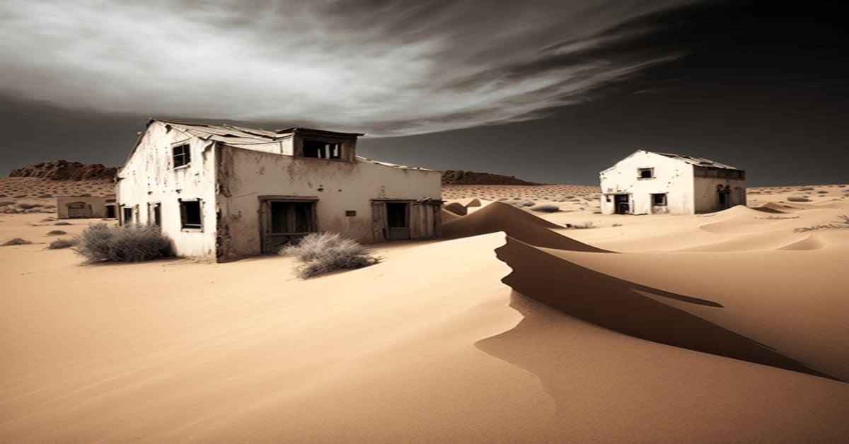
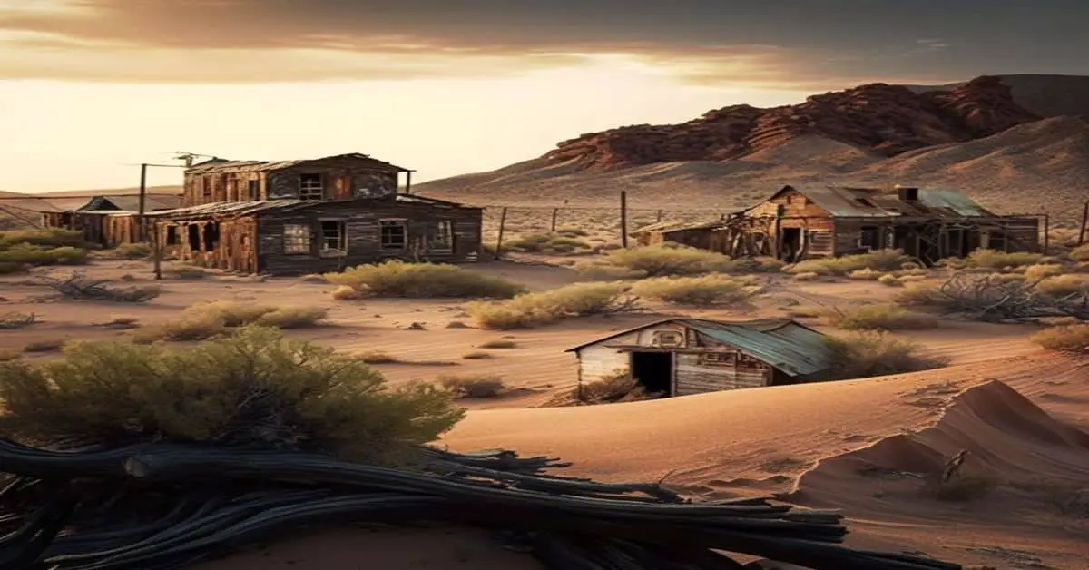
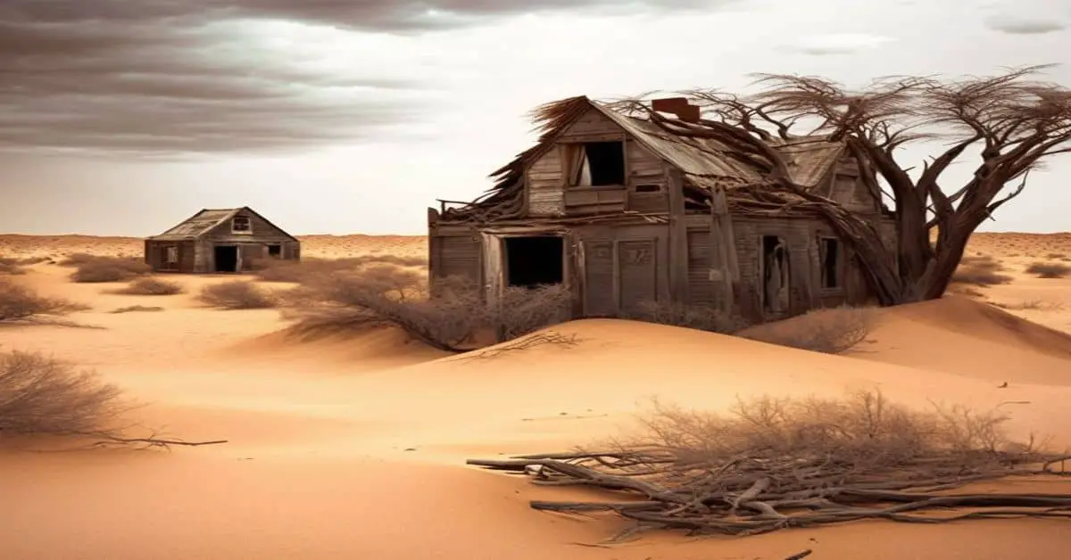
Ghost Towns In South Dakota
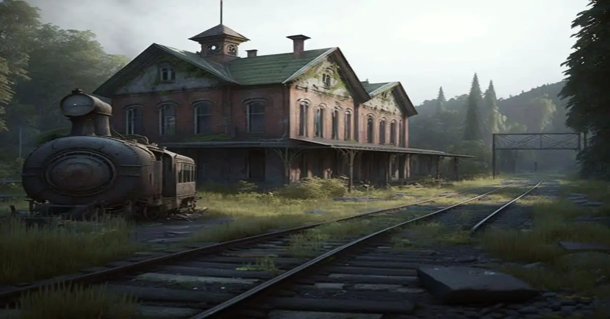
South Dakota was declared the 40th state of the Union on November 2, 1889. Its primary economic activity is agriculture. First, it was a territory of the Native Americans. Then it passed into the hands of the French until finally, the United States bought the land. With all this process, it is inevitable that in […]
Ghost Towns In South Dakota Read More »