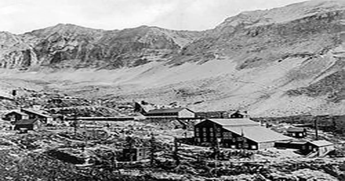
Ghost Towns In Colorado
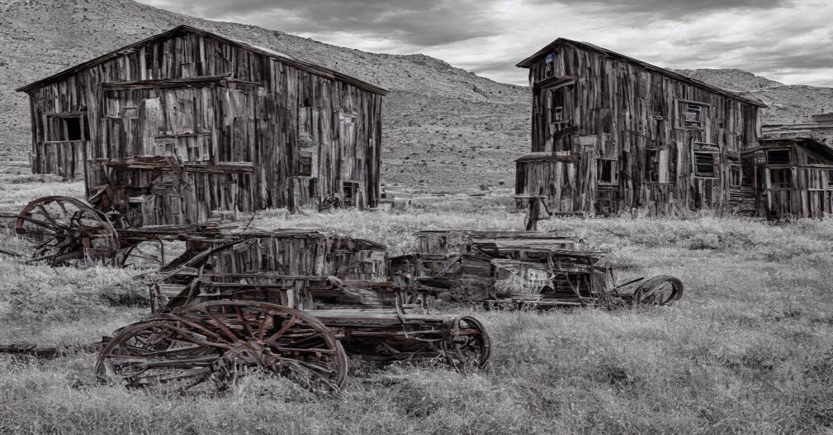
Before Colorado became a state, it was included as part of the New Mexico, Utah, Nebraska, and Kansas territories. In 1859, a provisional government was established, and present-day Colorado was known as the Territory of Jefferson. Two years later, in 1861, the significant increase in population due to the Colorado Gold Rush turned the Territory […]
Ghost Towns In Colorado Read More »