You’ll find Columbia’s ghost town ruins along the Cottonwood River’s left bank, where settlers established this ambitious community in 1855. The town featured a log store, post office, blacksmith shop, and double log dwelling, with the Whitakers and Snow family among its notable pioneers. Though Columbia showed early promise, repeated flooding and harsh prairie conditions forced settlers to abandon the site by late summer 1857. The town’s short-lived story holds deeper lessons about Kansas frontier life.
Key Takeaways
- Columbia was established in 1855 along the Cottonwood River with essential structures including a log store, post office, and blacksmith shop.
- The settlement’s decline began by late summer 1857 due to repeated flooding, forcing residents to relocate to higher ground.
- The town’s infrastructure suffered major damage from the devastating 1904 flood, ending its role as a transportation hub.
- Columbia’s isolation from major transportation routes and unstable agricultural markets contributed to its eventual abandonment.
- Few physical remnants remain today, though the settlement’s history is preserved through historical records and local landmarks.
Early Settlement and Pioneer Days
When pioneers established Columbia in 1855 along the Cottonwood River’s left bank in eastern Kansas, they built a modest settlement that would prove short-lived.
The pioneer lifestyle centered around a log store that doubled as a post office, a blacksmith shop, and a double log dwelling house. You’ll find the Whitakers and Snow family among the key settlers who shaped early community dynamics. Jefferson S. Pigman managed vital mail from Westport despite dangerous conditions. The settlement emerged during a time when French fur traders had already established trade networks in the region.
Early Columbia settlers, including the Whitakers and Snows, built their frontier life around essential structures serving multiple community needs.
The settlement’s location near a reliable river ford made it attractive for frontier commerce and travel.
Yet, by late summer of 1857, you’d have noticed the town’s decline as buildings deteriorated or were relocated.
While the original townsite didn’t flourish, pioneer families continued claiming nearby lands, transforming the area from a small commercial outpost into scattered homesteads typical of Kansas’s territorial expansion.
Life Along the Cottonwood River
You’d find the earliest Columbia settlers gravitating toward prime spots along the Cottonwood River‘s banks, where they could access water for daily needs and harness its power for mills.
Life revolved around the river’s rhythms, with families establishing homesteads strategically near the water while maintaining enough elevation to avoid spring floods. In 1860, settlers constructed a dam of cottonwood logs to generate water power for the growing community. This waterway gained historical significance when Zebulon Pike’s expedition traversed its course in 1806.
The waterfront bustled with activity as residents washed clothes, watered livestock, and gathered for social occasions, making the Cottonwood River not just a water source but the heart of Columbia’s pioneer community.
River Settlement Patterns
Along the meandering Cottonwood River, early Kansas settlers strategically established their homesteads and ranches near streams and live springs, recognizing water’s vital role in their survival.
River access determined settlement sustainability, with pioneers claiming prime locations that offered reliable water sources for both domestic use and agricultural ventures.
The settlement patterns followed distinct characteristics:
- Homesteaders moved east to west, following natural watercourses
- Stone and sod buildings were constructed near water access points
- Families like the Pratts developed successful sheep ranches using river resources
- Communities formed around river crossings and mill sites
Even though droughts and poor water quality sometimes challenged these river settlements, the waterways remained essential lifelines that shaped the region’s development and determined where pioneers would stake their claims to freedom on the Kansas frontier. The South Solomon River provided an ideal location for Abraham Pratt to establish his dugout homestead in 1878. The region’s first water plant was built by the Cottonwood River in 1880, though its quality proved insufficient for the growing community.
Waterfront Daily Activities
Life along the Cottonwood River in early Columbia centered on essential daily activities that sustained the pioneering community.
You’d find settlers gathering daily at the riverbanks, where they’d collect water for domestic use and do their laundry. The river’s waters proved important for fishing traditions, providing a key food source for local families living near Columbia’s original townsite.
As you traveled the riverfront, you’d witness the bustling activity around water-powered mills, where logs and grain were processed. Native American tribes had established fishing camps along these same riverbanks centuries before settlers arrived. The historical Pike Expedition passed through this area in 1806, documenting early river activities.
River recreation wasn’t just for leisure – it served as a community hub where settlers exchanged news and goods near ford crossings.
Even as seasons changed, bringing floods in spring and ice in winter, the river remained central to Columbia’s daily routines, powering industry and connecting communities through the 1914 bridge.
Agricultural Foundations and Challenges
When settlers first arrived in Columbia during the late 1860s, they discovered prime agricultural land along the Cottonwood River’s fertile floodplain. Early pioneers like William and Jane Willis claimed 80-acre parcels, while others secured larger 160-acre plots from the former Kaw Indian Diminished Reserve. Similar to many of the dead towns across Kansas, Columbia faced an uncertain future from its earliest days.
Without modern soil conservation knowledge, they faced significant challenges in maintaining their farms.
You’ll find that these determined farmers confronted four major obstacles:
- Limited crop rotation options due to isolation from markets
- Seasonal flooding that threatened both crops and homesteads
- Lack of railroad access for efficient crop transport
- Harsh prairie climate with extreme temperature swings
Despite their determination, Columbia’s farmers struggled against these environmental and economic pressures, contributing to the settlement’s eventual decline and abandonment. Like many Kansas towns that relied on agriculture during the 1870s, Columbia’s fate was closely tied to the railroad expansion that would determine which communities thrived and which would fade away.
The Rise and Fall of Columbia Bridge
You’ll find the Columbia Bridge stood as a symbol of early 1930s engineering, constructed at a cost of $346,659 with sophisticated pin-connected Parker through truss design by Missouri Valley Bridge & Iron Co.
The bridge’s strategic location over the Blue River served as a crucial transportation link for regional commerce, featuring steel components from Pittsburgh’s Carnegie Steel and innovative construction techniques that earned it recognition for the National Register of Historic Places.
Changes in transportation needs and infrastructure demands led to the bridge’s eventual decline, though its historical significance in Kansas’ development remains well-documented in engineering registries and architectural records.
Strategic River Crossing Location
Situated at a critical juncture of trade routes, Columbia’s strategic river crossing location played a crucial role in shaping the town’s destiny during the mid-1800s.
You’ll find that Columbia’s natural advantages made it an ideal settlement point, particularly for traders and settlers seeking to establish roots in the region.
The town’s strategic growth centered around four key factors:
- Natural river crossings that enabled reliable transportation between communities
- Intersection of essential trade routes connecting Emporia to rural settlements
- Accessible terrain that supported agricultural development and commerce
- Geographic positioning that facilitated communication networks
Bridge Construction and Design
Building upon Columbia’s strategic river crossing location, the construction of the Columbia Bridge marked a significant engineering achievement in early 20th-century Kansas.
You’ll find this bridge incorporated advanced construction techniques of its era, featuring an eight-panel Parker through truss with pin-connected joints. The bridge design showcased the engineering prowess of the time, with steel rolled in Pittsburgh‘s renowned mills and fabricated by the Kansas City Bridge Company.
The 170-foot span rested on robust steel cylinder piers and concrete abutments, ensuring stability across the waterway.
While the bridge’s construction faced typical challenges of the period – from cost negotiations to material transportation – it represented the latest in rural infrastructure development.
The pin-connected design allowed for thermal expansion and simplified assembly, though it required vigilant maintenance to prevent joint failures.
Decline Through River Changes
While Columbia’s early success hinged on its strategic river location, the Cottonwood River’s shifting course ultimately sealed the town’s fate. The unpredictable river dynamics forced dramatic changes in settlement patterns, leading to Columbia’s gradual abandonment by 1858.
You’ll find these key factors that drove Columbia’s decline:
- The original townsite suffered repeated flooding, making permanent settlement impossible.
- By late summer 1857, settlers relocated to higher ground, fragmenting the community.
- The river’s course changes destroyed crucial infrastructure, including the Columbia Bridge.
- Regional transportation routes shifted away from the unstable river crossing.
Between 1857 and the early 1900s, you’d have witnessed at least 47 serious floods ravaging the area.
The devastating 1904 flood dealt a final blow when it destroyed the iron Columbia Bridge, effectively ending the town’s role as a transportation hub.
Transportation Networks and Isolation
As transportation networks evolved across Kansas in the mid-19th century, Columbia’s fate became increasingly tied to its role as a crucial river crossing point.
You’ll find that Columbia’s story reflects the broader transportation evolution from river fords to bridges, and finally to railroads that bypassed the town entirely. The Columbia Bridge replaced the original ford, serving as an essential link between Emporia and rural communities until its closure in 1972.
While nearby towns flourished with direct rail access, Columbia’s isolation grew as the transportation landscape shifted.
Columbia’s fate was sealed when rail lines bypassed the town, leaving it stranded while neighboring communities prospered.
You can trace the town’s decline through the changing priorities of regional connectivity, from the early stagecoach routes to the dominant railroad networks that reshaped Kansas’s economic geography, ultimately leaving Columbia disconnected from the state’s major arteries.
Economic Struggles in the Great Plains
You’ll find that Columbia’s economic decline mirrored the broader Great Plains struggles, where unstable agricultural markets left farmers vulnerable to financial ruin.
The town’s isolation from major transportation routes made it difficult for farmers to get their crops to market efficiently, while the lack of rail connections prevented the development of manufacturing or processing facilities that might’ve diversified the local economy.
Without industrial development to supplement farming income, Columbia’s residents faced increasingly difficult circumstances during market downturns, particularly when crop prices plummeted in the late 1920s and early 1930s.
Agricultural Market Instability
When the Great Depression struck the Great Plains in the 1930s, it delivered a crushing blow to an already fragile agricultural economy. You’d find farmers caught in a devastating cycle of market fluctuations and crop failures, forcing many to abandon their lands.
The volatile agricultural markets left farmers especially vulnerable, as they’d borrowed heavily to expand their operations during more prosperous times.
The harsh reality of farming in Columbia, like many Great Plains communities, meant facing:
- Plummeting wheat prices that couldn’t cover basic operating costs
- Mounting debt from expensive equipment purchases
- Forced sales and foreclosures affecting nearly 10% of farms
- The desperate practice of burning corn for fuel rather than selling at rock-bottom prices
This perfect storm of economic instability ultimately contributed to Columbia’s transformation into a ghost town.
Limited Transportation Networks
Transportation networks proved the lifeblood of Great Plains settlements, with Columbia’s fate inextricably tied to its limited connections.
You’ll find that the town’s prosperity hinged on a single bridge across the Cottonwood River, making it vulnerable to infrastructure failures. When the aging 1905 bridge couldn’t handle increasing loads, Columbia’s economic lifeline was effectively severed.
The transportation evolution throughout the region created waves of economic displacement. You can trace Columbia’s decline to its inability to adapt when railroad development passed it by.
While some towns flourished at railheads, Columbia’s isolation from rail networks sealed its fate. The harsh reality was that communities depending on a single transportation route often couldn’t survive when that link failed, leaving ghost towns scattered across the Plains.
The history of Comanche City, Kansas, serves as a poignant example of this phenomenon. Once a bustling hub thanks to its strategic location along trade routes, it too experienced decline when those connections deteriorated. Today, remnants of its past can be seen in the stories of its former residents and the landscapes that once hummed with activity.
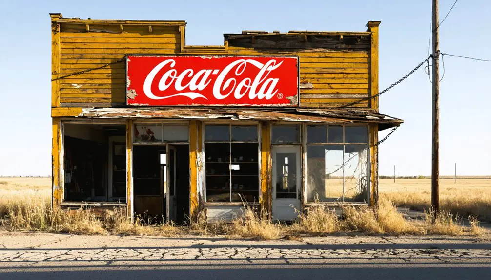
Absent Industrial Development
Despite Columbia’s early promise as a trading post, the town’s fatal flaw lay in its inability to develop substantial industrial infrastructure beyond basic mercantile services.
This industrial stagnation sealed Columbia’s fate, as you’ll find the town struggled to maintain economic relevance in the competitive Great Plains landscape.
The town’s economic isolation stemmed from four critical industrial shortcomings:
- No manufacturing facilities or factories to create value-added products
- Absence of warehouses or processing plants for agricultural goods
- Limited commercial activity beyond local dry goods and medical services
- Lack of specialized industrial outputs that could attract regional trade
Natural Resources and Environmental Impact
As the Cottonwood River carved its path through the Kansas landscape, Columbia’s settlers strategically positioned their town to capitalize on the region’s abundant natural resources.
You’ll find that their natural resource extraction methods focused primarily on timber harvesting from the Neosho area and utilizing the fertile farmland along the river valley.
While Columbia didn’t develop extensive mining operations like nearby Minersville’s lignite coal mines, the town’s activities still contributed to environmental degradation through deforestation and soil disruption.
The impact of these activities transformed the local ecosystem, altering wildlife habitats and increasing sediment runoff into the Cottonwood River.
You can still see evidence of this environmental legacy today, where the modified landscape reflects the town’s resource-dependent past and humanity’s lasting footprint on the Kansas prairie.
The Willis Family Legacy
Beyond the environmental changes that shaped Columbia’s landscape, the Willis family emerged as one of the town’s most influential founding dynasties. Their Willis Heritage traced back to 1600s New England, where they’d established themselves as pioneering settlers and industrial leaders.
The family’s profound impact on Columbia’s development included:
- Bringing essential ironworking expertise from their New Jersey industrial legacy
- Forming strategic marriages with other prominent settler families
- Establishing critical economic partnerships that strengthened the region
- Contributing to local governance and infrastructure development
You’ll find the Willis family’s influence woven throughout Columbia’s history, from their early land acquisitions to their later roles in law and business.
They exemplified the pioneering spirit that transformed the Kansas frontier, adapting their established East Coast success to new opportunities in the Midwest.
Relocation and Community Dispersal
When Columbia’s residents abandoned their original townsite in late summer 1857, they launched a critical shift that would reshape the region’s settlement patterns.
You’ll find their community migration reflected a broader frontier phenomenon, where established villages gave way to more dispersed homesteads.
The lack of major transportation routes played a decisive role in this settlement evolution. With only dim wagon trails connecting to the outside world, Columbia couldn’t compete with emerging towns that offered better access.
Historical Preservation and Modern Traces
Though few physical remnants of Columbia survive today, you’ll find the town’s legacy preserved through historical records and local landmarks. The historical significance of this once-thriving community lives on through dedicated preservation efforts and community engagement initiatives.
Key elements of Columbia’s preservation include:
- The Flat Rocks Bridge, rebuilt in 1989, stands as a modern representation of the original Columbia Bridge that served as the town’s lifeline.
- Daniel C. Fitzgerald’s historical documents provide essential insights into the community’s past.
- Local newspapers and records maintain references to Columbia’s role in connecting Emporia to rural areas.
- Agricultural development in the surrounding area continues the region’s legacy of rural community life.
Despite preservation challenges and limited funding, Columbia’s story endures through these tangible connections to its past.
Frequently Asked Questions
Were There Any Notable Crimes or Lawlessness Incidents in Columbia’s History?
You’ll find records of store robberies and looting during 1856’s unrest, particularly at Withington’s store. While crime statistics are limited, law enforcement was minimal in this frontier settlement’s short existence.
What Happened to the Original Buildings and Structures After Abandonment?
You’ll find Columbia’s original buildings didn’t survive – flooding destroyed most structures, while settlers dismantled others for materials. By 1858, ghost town exploration would’ve revealed nothing but decaying foundations and scattered ruins.
Did Native American Tribes Have Any Settlements Near Columbia?
You’ll find significant Native American settlements near Columbia, with the Kanza establishing villages along Mission Creek and Kansas River, while Osage tribes maintained cultural influence throughout the eastern Kansas region.
Were There Any Documented Epidemics or Health Crises in Columbia?
Like a whisper lost to time, you won’t find documented evidence of any major health crises or epidemic outbreaks in Columbia’s brief history. Historical records focus on migration rather than disease.
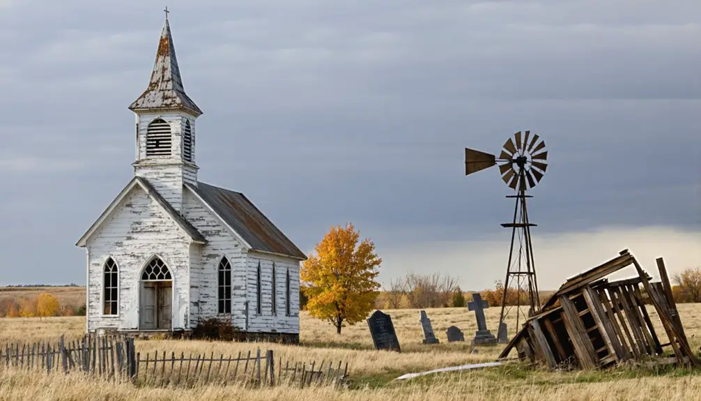
What Types of Religious or Educational Institutions Existed in Columbia?
You’ll find early settlers likely established basic churches and schools, though records are limited. Community gatherings often took place in multi-use buildings that served both religious and educational purposes before Columbia’s 1858 decline.
References
- https://legendsofkansas.com/columbia-ghost-town/
- https://www.youtube.com/watch?v=xg8SpCG-wDg
- https://www.geotab.com/ghost-towns/
- https://en.wikipedia.org/wiki/List_of_ghost_towns_in_Kansas
- https://www.kcur.org/arts-life/2022-04-09/ghost-towns-are-all-around-kansas-city-if-you-know-where-to-look
- https://en.wikipedia.org/wiki/History_of_Kansas
- https://www.youtube.com/watch?v=alC1wDdSVvg
- https://legendsofkansas.com/cottonwood-falls-kansas/
- https://legendsofkansas.com/cottonwood-river-kansas/
- http://www.kancoll.org/books/cutler/chase/chase-co-p6.html


