You’ll find Cookville’s ghost town remains within Fort Leonard Wood‘s grounds in Pulaski County, Missouri. Named after merchant W.J. Cook, this settlement thrived from 1878 to 1941 along Roubidoux Creek, where Cook operated a general store and post office. The town’s decline began when the military acquired 65,000 acres for the fort during World War II, forcing residents to relocate. The site’s rich history reveals compelling stories of frontier entrepreneurship and wartime transformation.
Key Takeaways
- Cookville became a ghost town in 1941 when Fort Leonard Wood’s expansion absorbed the settlement, forcing residents to abandon their homes.
- The settlement, established around W.J. Cook’s general store, thrived from 1878 until its post office closed in 1941.
- Located at 37°38′56″N 92°12′36″W along Roubidoux Creek in Pulaski County, the site is now restricted within military grounds.
- The community’s decline coincided with World War II, as 65,000 acres of farmland transformed into military training grounds.
- Only historic cemeteries remain as physical evidence of Cookville’s once-vibrant rural Missouri community.
The Rise and Fall of a Rural Settlement
While many small towns in Missouri’s Ozark region shared similar origins, Cookville emerged as a distinct rural settlement when it established its post office in 1878.
You’ll find the town’s early demographics reflected a modest population centered around just two houses, with residents drawn to the essential services of a general store and mill along Roubidoux Creek.
The rural economy thrived on local trade and agriculture, with the mill serving as a vital processing point for area farmers. Like many communities of that era, residents practiced unlocked homes as a sign of trust and neighborly bonds.
You can trace Cookville’s story from its promising beginnings through its gradual decline, culminating in the post office’s closure in 1941.
Like many of its neighboring communities, Cookville couldn’t sustain itself against the changing economic landscape, eventually becoming one of the Ozarks’ ghost towns within Fort Leonard Wood‘s southern reaches.
To avoid confusion with other locations, historical records now include Cookville, Missouri as a disambiguation page entry to distinguish it from similarly named places.
Origins of the Cookville Name
You’ll find that Cookville’s name stems directly from W.J. Cook, a prominent local merchant who shaped the community’s early commercial development.
The establishment of Cookville’s post office in 1878 formally recognized this connection to the Cook family, with Joel B. Cook’s earlier settlement in 1845 laying the groundwork for the family’s influence.
Through the post office’s 63-year operation until 1941, the Cook family name became permanently woven into the region’s postal and settlement history. Similar to the Powell Brothers’ tourist complex, the area’s development was influenced by key entrepreneurial families who established vital local businesses.
W.J. Cook’s Local Impact
Emerging as a pivotal figure in Pulaski County’s development, W.J. Cook left an indelible mark on the region through his diverse roles and enterprising spirit.
You’ll find his influence woven throughout Cookville’s fabric, from establishing the town’s first general store to serving as its inaugural postmaster in 1872. His strategic position along the Roubidoux River, where he managed a 320-acre farm and mill, created a crucial hub for local commerce and communication.
Cook’s contributions extended beyond mere business ventures.
Through his Democratic Party involvement and Masonic fraternity membership, he helped shape the community’s social framework. You can trace his lasting impact through the town that bears his name, where his combined roles as merchant, farmer, and postmaster established Cookville as a recognized place in Missouri’s rural landscape.
Post Office Naming History
Though many early Missouri settlements took their names from geographic features, Cookville’s name originated from Joel B. Cook, an early settler who arrived around 1845. The postal naming process reflected the common practice of honoring prominent local citizens who helped establish these frontier communities.
Historical records show the following key aspects of Cookville’s post office naming:
- The name formalized Cook’s significance as a founding settler
- The post office operated from a general store, typical of rural Missouri settlements
- Federal postal authorities documented and locked the name to prevent delivery confusion
- The designation “Cookville” helped establish the community’s distinct identity in postal maps and routing records
Like the Slade family dynasty in Rocheport’s post office, Cookville’s postal operations often remained within family control across generations.
The name remained unchanged throughout the post office’s operation, serving as an essential communication hub until the town’s eventual decline. Records indicate the post office was operational from 1874 to 1997, making it a long-standing fixture in the community’s history.
Life Along Roubidoux Creek
Winding through the heart of Missouri’s Ozarks, Roubidoux Creek served as a lifeline for both Native American tribes and early settlers in the Pulaski County region.
You’ll find the creek’s rich history deeply intertwined with the Trail of Tears, where Cherokee tribes made temporary camps along its banks at what’s now Laughlin Park during their forced relocation in 1837-1839.
The creek’s cold, clear waters and limestone bluffs created an ideal environment for early settlement. Modern visitors should ensure their devices have JavaScript enabled to access interactive historical maps and virtual tours of the area.
The Gasconade River confluence marks the creek’s northern terminus, where its waters join the larger waterway just outside Waynesville.
You can trace the region’s industrial heritage to Cook’s Mill, marked on an 1873 map, where the creek’s waterpower drove local commerce.
The spring-fed waters continue to support trout populations today, while the surrounding woodlands preserve the untamed spirit of the Ozarks that drew settlers to its banks generations ago.
The Post Office Era: 1878-1941
When Cookville’s post office opened its doors in 1878, named after local merchant W.J. Cook, you’d find a bustling hub of rural communication along Roubidoux Creek.
Much like minimal bet entries of 200 seen in modern gaming establishments, the post office required basic postage fees to process mail.
For 63 years, this crucial postal service location connected isolated families and businesses to the outside world.
Here’s what made Cookville’s post office essential:
Cookville’s post office served as a vital lifeline, bridging rural Missouri communities through essential mail and communication services.
- Served as the primary mail dispatch point near the Pulaski-Laclede county line
- Local postmasters contracted mail routes to serve rural residents
- Operated from strategic buildings chosen through official site location reports
- Functioned as a critical communication center until 1941
The post office’s closure coincided with World War II and Fort Leonard Wood‘s expansion, marking the end of an era for this rural Missouri community.
Today, you’ll find its legacy preserved in postal records and Missouri state archives.
Military Expansion and Town Extinction
If you’ve lived in Cookville before 1941, you’d have witnessed the dramatic transformation as the U.S. War Department acquired your town’s land for the new Fort Leonard Wood military installation.
The groundbreaking ceremony on December 3, 1940 signaled the beginning of your community’s transformation into a military facility.
You’d have joined your neighbors in relocating as the Army’s strategic need for training grounds during World War II preparations took precedence over civilian life along Roubidoux Creek.
Your community’s extinction became official when the post office closed in 1941, marking Cookville’s final change from an active settlement to part of one of America’s largest military training centers.
Army Base Absorbs Land
As World War II intensified America’s military preparedness efforts, Fort Leonard Wood‘s establishment in 1940 marked the beginning of Cookville’s end.
The Army’s aggressive land acquisition strategy transformed the Missouri Ozarks, as military planners sought vast tracts for training and infrastructure development.
You’ll find these stark changes reflected in Cookville’s fate:
- Construction crews built over 1,600 buildings across 5 million square feet in just six months
- The base’s rapid expansion swallowed Cookville’s location along Roubidoux Creek
- Strategic military priorities forced civilian residents to abandon their homes
- Base Realignment and Closure actions further cemented the Army’s control of the area
The military’s expansion permanently altered the landscape, converting civilian territory into restricted training grounds that you can no longer freely access.
Wartime Changes Community Life
The establishment of Fort Leonard Wood in 1940 triggered the most significant population displacement in Ozark history, forcing entire communities like Cookville to vanish from the map.
You’d have witnessed profound community disruption as 65,000 acres transformed from peaceful farmland into a military training ground, displacing longtime residents from their homes and livelihoods.
The social fragmentation touched every aspect of daily life. Local businesses shuttered, schools closed their doors, and church congregations scattered.
Families who’d been neighbors for generations found themselves relocating to different towns, severing deep community bonds. The region’s character changed dramatically as military personnel replaced farming families, and artillery fire echoed where children once played.
Today, only the historic cemeteries remain as silent witnesses to Cookville’s former vibrant community life.
Geographic Location and Landmarks
Situated at 37°38′56″N latitude and 92°12′36″W longitude, Cookville’s ghost town site lies within southwestern Pulaski County, Missouri, nestled along the banks of Roubidoux Creek.
You’ll find this historic landmark now absorbed within Fort Leonard Wood‘s southern boundary, where the military presence has preserved much of the natural resources and original landscape.
Key features that defined Cookville’s geography include:
- Roubidoux Creek, which provided essential water resources for early settlers
- Rolling Ozark terrain characterized by dense forests and hills
- Missouri Route 17, running near Greenview about two miles west
- The former post office location, which served the community from 1878 to 1941
While civilian access is now restricted due to military operations, Cookville’s location remains a symbol of early Ozark settlement patterns.
Historical Significance in Pulaski County
Established in the late 1800s along the banks of Roubidoux Creek, Cookville emerged as an important commercial outpost in southwestern Pulaski County’s expanding frontier landscape.
You’ll find its story deeply woven into the region’s economic evolution, beginning with W. J. Cook’s merchant store that served as the community’s beating heart.
The town’s community resilience shone through its role as a crucial service hub for local farming families until World War II.
When Fort Leonard Wood expanded, Cookville’s lands were absorbed into the military reservation, marking the end of its civilian chapter.
While the post office’s closure in 1941 signaled the town’s physical decline, Cookville’s legacy endures in Pulaski County’s historical records, preserving the narrative of rural Missouri’s settlement and transformation.
Legacy of W.J. Cook’s Mercantile Influence
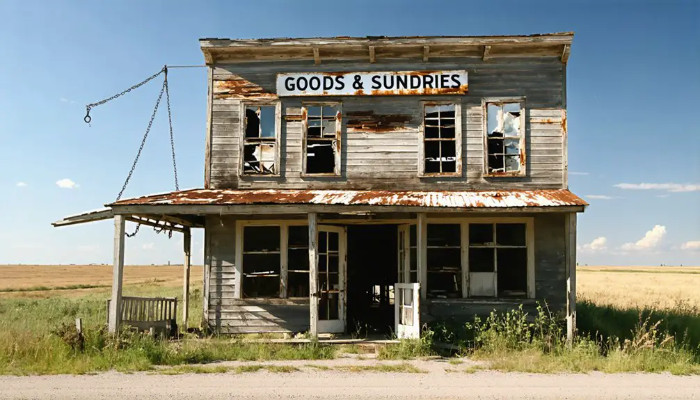
While frontier mercantile enterprises often struggled to survive in 19th-century Missouri, W.J. Cook’s operation stood as a symbol of community resilience. His combined store and mill became the cornerstone of Cookville’s economic significance, with the mercantile architecture serving as both a commercial hub and social gathering point.
You’ll find Cook’s influence extended far beyond simple retail operations:
- Established vertical integration through combined store and milling operations
- Created a self-sustaining economic engine that processed local grain and supplied essential goods
- Developed important trading networks throughout Pulaski County
- Shaped local infrastructure by attracting supplementary businesses and services
Though Cookville eventually faded into ghost town status, Cook’s mercantile legacy endures in county histories as a prime example of frontier entrepreneurship and the determination that built Missouri’s rural communities.
Comparison With Regional Ghost Towns
Among Missouri’s numerous ghost towns, Cookville shares distinct patterns of development and decline with other abandoned communities across the region.
You’ll find similar stories in places like Hamburg, Howell, and Toonerville, where World War II-era military expansion led to their abandonment. Like these communities, Cookville’s fate was sealed when Fort Leonard Wood‘s development necessitated the closure of its post office in 1941.
The regional ghost town comparisons reveal common themes: communities often emerged near water features or transportation routes, thrived through local commerce, and faced regional decline due to external forces.
While some towns like Times Beach succumbed to environmental contamination, Cookville’s story aligns more closely with places like Bloodland, where military requirements transformed once-vibrant communities into restricted zones within government installations.
Frequently Asked Questions
Are There Any Remaining Structures or Ruins Visible at the Cookville Site?
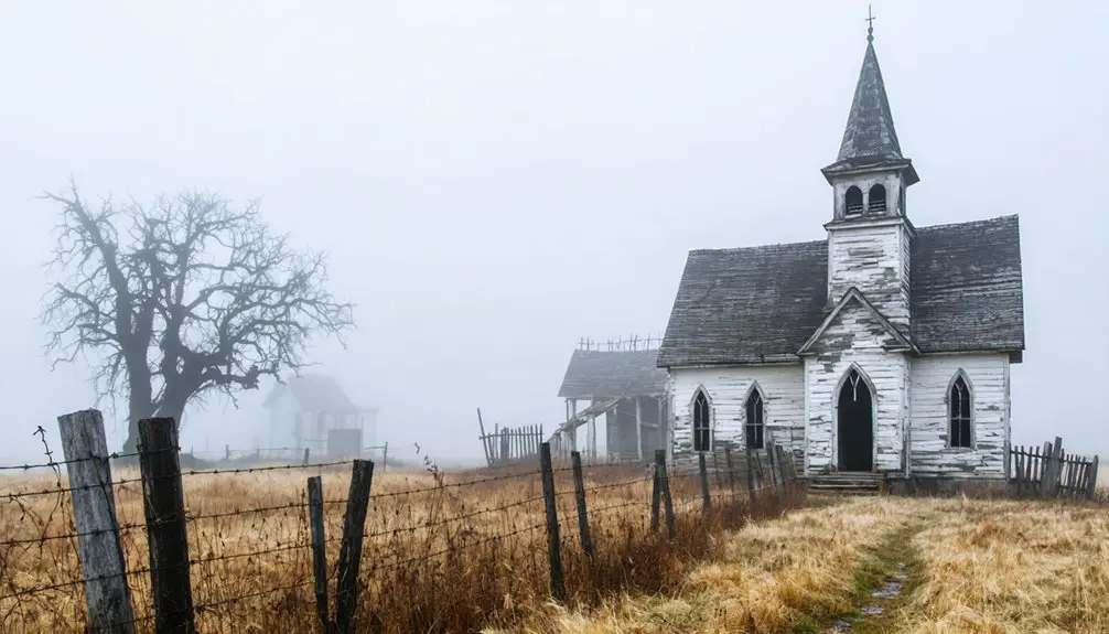
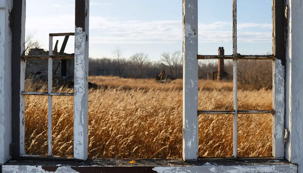
You won’t find visible structures today, though you might discover remaining foundations hidden beneath vegetation. Local historians haven’t documented any standing ruins or significant historical artifacts at the site.
What Was the Peak Population of Cookville Before Its Abandonment?
While you’d assume official records would tell the tale, Cookville’s history suggests a peak population between 200-400 residents before its decline, based on comparable Missouri towns and regional settlement patterns.
Did Any Indigenous Tribes Inhabit the Area Before Cookville’s Establishment?
You’ll find significant indigenous history in this area, with the Osage Nation being the primary tribal presence before European settlement. They used these Ozark woodlands for hunting and gathering activities.
Were There Any Schools or Churches Operating in Cookville?
You won’t find direct records of Cookville schools or churches in historical archives, though locals likely attended both in nearby Greenview, as was common for small Missouri communities without documented institutions.
What Other Businesses Besides W.J. Cook’s Store Existed in Cookville?
While detailed records don’t reveal other businesses, you’ll find the local economy likely supported basic agricultural services. Railroad influence and rural trade patterns suggest blacksmiths and feed suppliers served the area.
References
- https://en.wikipedia.org/wiki/Cookville
- https://en.wikipedia.org/wiki/List_of_ghost_towns_in_Missouri
- https://www.youtube.com/watch?v=3ElM_xAtbAY
- https://www.theroute-66.com/arlington.html
- https://www.oldstagecoachstop.org/webgeezer/Gazette10/cookville.pdf
- https://kids.kiddle.co/List_of_ghost_towns_in_Missouri
- https://www.theroute-66.com/powellville.html
- https://www.youtube.com/watch?v=cWzHL8wf2zk
- http://genealogytrails.com/mo/pulaski/bios_c.html
- https://usgenealogyresearch.atwebpages.com/Missouri/Pulaski/misc_history_pulaski_1889.pdf