You’ll find Iowa’s most famous ghost towns scattered across the state, each telling a unique story of abandonment. Elkport in Clayton County was completely evacuated after a devastating 2004 flood, while Buckhorn in Jackson County features a crumbling creamery that once produced 34 million pounds of butter. Donnan lies submerged beneath Lake Red Rock, and Mount Pisgah served as an essential Mormon waystation before abandonment in 1852. Exploring these sites reveals the deeper history behind Iowa’s forgotten communities.
Key Takeaways
- Elkport in Clayton County was abandoned after a catastrophic 2004 flood displaced all 88 residents through federal buyout programs.
- Donnan lies submerged beneath Lake Red Rock, flooded during dam construction from 1960-1969 for downstream flood control.
- Mount Pisgah served as a crucial Mormon migration waystation from 1846-1852 and now features a historic cemetery.
- Buckhorn in Jackson County declined after the 1950s and is recognized as Iowa’s eeriest abandoned attraction.
- Red Rock Dam construction flooded six historic communities including Coalport, Cordova, and Red Rock in the 1960s.
Big Spring: Wayne County’s Forgotten Settlement
When Wayne County emerged from Indian territory in late 1845, Big Spring took root in section 17 of Jefferson Township as one of the area’s earliest settlements.
You’ll find this forgotten community operated a post office from 1875 to 1901, serving the local farming region for twenty-six years before vanishing into obscurity.
Big Spring’s historical significance reflects Wayne County’s broader pioneer experience. The county itself wasn’t formally organized until 1851, with that first election drawing just thirty voters and generating $64.30 in total revenue.
While Corydon became the permanent county seat through a legendary poker game, Big Spring remained a modest outpost among Jefferson Township’s scattered communities. The area was named after General Anthony Wayne, reflecting the military heritage common to many Iowa counties established during westward expansion.
Unlike Corydon, which maintained its position as Wayne County’s only county seat throughout the county’s history, Big Spring lacked the political significance to survive.
Today, you won’t find any remnants of this abandoned settlement, joining other extinct Wayne County post offices like Bridgeport in Iowa’s forgotten frontier legacy.
Elkport: Clayton County’s Eerie Remnants
You’ll discover Elkport’s haunting transformation from a thriving 19th-century settlement to Clayton County’s most complete ghost town following catastrophic flooding in 2004.
The federal buyout program erased 150 years of continuous habitation when all 88 residents abandoned their homes, leading to systematic demolition by 2006. The breach of levee sent floodwaters over 8 feet high throughout the entire town, destroying homes, schools, banks, and other vital structures.
Today’s landscape offers eerie exploration opportunities among scattered foundations, remnant sidewalks, and decaying structures that create an unsettling atmosphere in the reclaimed agricultural fields. The 2020 census surprisingly recorded 29 residents still living within the nominal city boundaries of this largely abandoned settlement.
Abandoned Settlement History
Along the banks of Elk Creek in northeastern Iowa’s Clayton County, Elkport’s story spans from hopeful pioneer settlement to complete federal abandonment within 150 years.
You’ll find that this town’s historical significance reflects America’s agricultural heritage and government intervention in disaster recovery.
Founded in 1855, Elkport thrived as farmers cultivated the fertile flood plains. The community peaked at 88 residents by 2000, maintaining tight-knit relationships across 25 families.
However, the catastrophic May 23, 2004 flood changed everything:
- Over 8 feet of water submerged the entire town when levees breached
- All residents accepted federal buyouts rather than rebuild
- Complete demolition occurred by September 2006
The town’s strategic location at the Turkey and Volga Rivers intersection had once been its strength, providing water access for early settlers and commerce. Today, scattered foundations and abandoned structures mark where generations lived freely, before government buyouts transformed this independent community into agricultural land. A historical marker stands as the sole reminder of Elkport’s former existence and the lives once lived there.
Creepy Exploration Features
Two decades after federal bulldozers erased Elkport from Iowa’s landscape, visitors encounter an unsettling mixture of natural reclamation and human remnants that creates an atmosphere unlike typical ghost towns.
You’ll find haunting landscapes where scattered foundations pierce through agricultural fields, marking where homes once stood against flooding rivers. The abandoned church, initially spared due to higher elevation, presents eerie encounters with its door left perpetually open, swarming with box elder bugs and flying ants resembling small bees. Demolition signs marked every remaining structure, creating a countdown atmosphere that intensified the town’s apocalyptic feel.
Holes in cracked sidewalks amid overgrown ruins evoke profound desolation, while nature quietly reclaims ghostly streets. These remnants create horror movie-like settings that draw explorers seeking poignant reflection in Iowa’s most environmentally vulnerable abandoned settlement.
Current Visible Remnants
Agricultural fields now blanket most of Elkport’s former townsite, yet concrete foundations still puncture the earth where homes, businesses, and community buildings once anchored this 150-year-old settlement.
You’ll discover scattered remnants that tell the story of a community completely relocated after the devastating 2004 flood.
When exploring this agricultural landscape, you’ll encounter:
- Visible foundations from demolished structures marking where 88 residents once lived and worked
- Cemetery views offering aerial perspectives of the transformed townsite looking southwest
- Reclaimed nature areas where Turkey and Volga Rivers’ convergence created the original flood disaster
These eerie remnants draw history enthusiasts to witness how nature reclaimed civilization. Like other settlements across Iowa, Elkport represents the broader pattern of communities lost to Lake Red Rock’s creation and similar water projects that transformed the state’s landscape.
The quiet fields contrast sharply with Elkport’s former density of 470.2 people per square mile, creating an atmosphere that speaks to both resilience and impermanence. A few structures miraculously survived the demolition, with some salvaged artifacts preserving fragments of the community’s history.
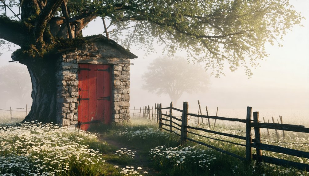
Buckhorn: Jackson County’s Haunting Destination
When Shadrach Burleson arrived in Jackson County in 1836, he couldn’t have imagined that his land donation would become the foundation for one of Iowa’s most intriguing ghost towns.
You’ll discover Buckhorn’s fascinating history rooted in its namesake tavern, where deer antlers adorned the entrance doors of this rural crossroads community.
The town’s creamery legacy defines its golden era. The Farmer’s Union Cooperative Creamery became Buckhorn’s economic powerhouse, serving 700 patrons across 17 routes and producing 34 million pounds of butter between 1899 and 1952.
You can still witness remnants of this prosperity in the crumbling creamery building and abandoned whitewashed church.
Rural population shifts and agricultural consolidation after the 1950s transformed this once-thriving community into the haunting destination you’ll find today along Highway 64. Love Exploring recognized Buckhorn as Iowa’s eeriest abandoned attraction, cementing its reputation as a must-visit destination for ghost town enthusiasts.
Donnan: The Town Beneath Lake Red Rock
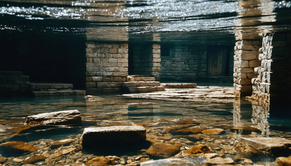
You’ll find Donnan among six ghost towns permanently submerged beneath Lake Red Rock’s waters in Fayette County, where a memorial sign now marks what was once a thriving community.
The town’s disappearance wasn’t gradual decline but deliberate sacrifice—construction of Red Rock Dam between 1960 and 1969 intentionally flooded these settlements to create Iowa’s largest reservoir and control devastating Des Moines River floods that had plagued the region since 1851.
What makes these submerged communities particularly haunting is that some, like nearby Red Rock town, had endured over a century of development before vanishing completely beneath the surface.
Pioneer Settlement History
Before Lake Red Rock claimed the land in the 1960s, Donnan stood as a resilient pioneer settlement that weathered floods, violence, and economic shifts for over a century.
You’d find this community exemplified pioneer resilience through its recovery from the devastating 1851 flood that destroyed early structures.
The settlement’s strategic location near the Des Moines River fostered thriving river commerce, attracting traders and adventurers.
By 1857, Donnan had transformed from a violent frontier outpost into a respectable community featuring:
- Essential services including a doctor, post office, school, and church
- Four sawmills supporting the local timber industry
- Diverse businesses like general stores, bookstore, drug store, and creamery
The town’s infrastructure grew with the 1890s Wabash Railroad spur, connecting Donnan to broader markets until submersion.
Reservoir Construction Impact
Although the Army Corps of Engineers launched Red Rock Dam construction in 1960 with flood control as their primary mission, the project’s scope devastated six historic communities along the Des Moines River.
You’ll find that Coalport, Cordova, Dunreath, Fifield, Red Rock, and Rousseau completely disappeared beneath Iowa’s largest lake by 1969. The dam impact forced residents from their ancestral homes as the Corps purchased every structure in the flood plain.
While officials justified this community loss as serving the greater good through downstream flood protection, entire generations lost their heritage.
Today, you can visit observation towers overlooking these submerged settlements, where park signage commemorates the vanished towns. Lake Red Rock’s 15,250 water acres now cover what were once thriving Marion County communities.
Mount Pisgah: Pioneer Rest Stop Turned Ghost Town
When Parley P. Pratt scouted this location in 1846, he couldn’t have imagined you’d one day walk through Iowa’s most significant Mormon migration waystation turned ghost town.
Mount Pisgah served as an essential relief settlement where thousands of Nauvoo refugees regrouped between 1846-1852.
You’ll discover remnants of a community that prioritized survival and mutual aid:
- Cemetery on the hill containing 150 graves with an 1888 monument honoring the dead
- Archaeological traces including wagon roads and building foundations on private lands
- Log cabin replica and interpretive exhibits within the county park
The cemetery significance extends beyond individual graves—it represents the human cost of forced migration.
When Church leaders called remaining members west in 1852, they abandoned this temporary sanctuary, leaving behind a memorial to pioneer resilience and community organization.
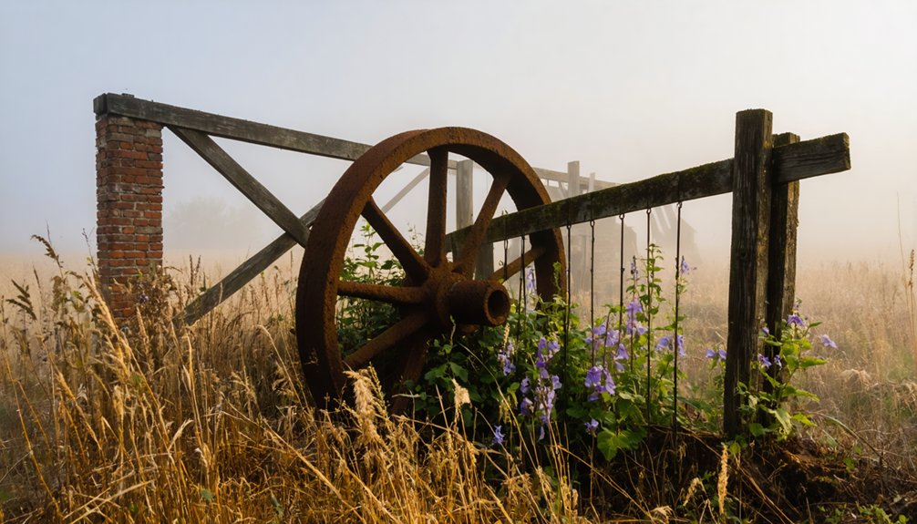
Sunbury: Abandoned Structures and Dark History

Unlike Mount Pisgah’s story of temporary sanctuary, Sunbury’s ghost town legacy stems from economic abandonment and structural decay. You’ll find this Cedar County community’s remains scattered across rural coordinates 41°40′12″N 90°55′52″W, where railroad prosperity once flourished.
Sunbury structures tell tales of boom and bust. The famous dance hall operated from 1895 to 1964, drawing regional visitors before shuttering permanently.
You can trace Sunbury history through population records: 13 residents in 1902, peaking at 107 by 1925, then declining to 60 by 1940. The community bank, opened in 1901, stood abandoned for decades before demolition in 2014.
Railroad dependency proved detrimental when transportation patterns shifted. Today, you’ll encounter deteriorating remnants where economic dynamism once thrived, creating Iowa’s most dramatic example of infrastructure-driven ghost town transformation.
Exploring Iowa’s Lost Communities Safely
Before you venture into Iowa’s abandoned settlements, proper preparation guarantees both safety and respect for these historical sites. Following essential safety measures protects you from hazards like unstable structures at Edinburgh Manor or overgrown terrain concealing uneven ground in Rockville’s cemetery areas.
Your exploration etiquette should include:
- Respect private property boundaries – avoid trespassing at sites like Banwell Bridge to prevent legal complications.
- Visit during daylight hours – assure visibility when exploring Buckhorn’s creamery or Elkport’s remnants.
- Inform others of your itinerary – especially vital for remote Guthrie County locations accessible via Highway 44.
Carry identification, check weather conditions, and watch for wildlife in wooded areas.
Stay on marked paths, avoid removing artifacts, and report any vandalism you observe to preserve these communities for future explorers.
Frequently Asked Questions
Are There Any Legal Restrictions for Exploring These Iowa Ghost Towns?
You’ll face ironclad ghost town regulations since virtually all Iowa ghost towns sit on private property. You must obtain exploring permissions from landowners before entering, or you’ll risk criminal trespass charges and potential arrest.
What’s the Best Time of Year to Visit Iowa’s Abandoned Settlements?
Summer’s your best bet for exploring Iowa’s abandoned settlements with ideal daylight and accessibility. Fall offers atmospheric visits with autumn foliage, while winter scenery limits access to many outdoor sites.
How Many Total Ghost Towns Exist Throughout Iowa?
You’ll find approximately 26 officially recognized ghost towns across Iowa, though extensive records document over 2,200 abandoned settlements that reveal the state’s complex ghost towns history and shifting Iowa settlement patterns throughout centuries.
Many of these abandoned sites in Iowa history have fascinating stories tied to their rise and fall, often linked to the boom of agricultural development and the subsequent shifts in population. As they stand in varied states of decay, each location serves as a haunting reminder of the past, inviting exploration and reflection on the lives once lived there. Preservation efforts by local communities aim to keep some of these sites accessible, allowing visitors to connect with the area’s rich heritage.
Do Any of These Locations Offer Guided Tours or Official Access?
No, these ghost towns don’t offer guided exploration or official access programs. You’ll visit at your own risk, exploring their historic significance independently through informal road trips and personal discoveries of remaining structures.
What Equipment Should Visitors Bring When Exploring These Remote Sites?
You’ll coincidentally need camera gear for documenting crumbling structures and safety equipment including sturdy boots, gloves, and first-aid supplies when venturing into Iowa’s abandoned settlements where nature’s reclaiming forgotten foundations.
References
- https://kids.kiddle.co/List_of_ghost_towns_in_Iowa
- https://www.ghosttowns.com/states/ia/ia.html
- https://freepages.history.rootsweb.com/~gtusa/usa/ia.htm
- http://www.onlyinyourstate.com/experiences/iowa/ia-ghost-town
- https://www.discoverguthriecounty.org/ghosttowns
- https://pubs.lib.uiowa.edu/annals-of-iowa/article/id/6960/download/pdf/
- https://www.youtube.com/watch?v=L883pwCPOwE
- http://files.usgwarchives.net/ia/wayne/history/wayne.txt
- https://iatttp.genealogyvillage.com/wayne/index.htm
- https://waynecounty.iowa.gov/history/